The best road cycling routes around Derryloughan
580
riders
77
rides
Road cycling around Derryloughan, a townland in County Tyrone, Northern Ireland, offers diverse landscapes primarily on paved surfaces. The region is characterized by bogland influenced by Lough Neagh, the largest freshwater body in the UK and Ireland, providing varied scenery. Road cyclists can explore routes that traverse areas along Lough Neagh and the Blackwater River, which features flowering meadows. The terrain includes gentle gradients and some moderate climbs, suitable for various fitness levels.
Best road cycling routes around Derryloughan
- The…
Last updated: July 1, 2026
2
riders
77.9km
03:19
390m
390m
Moderate road ride. Good fitness required. Mostly well-paved surfaces and easy to ride.
12
riders
50.0km
02:07
310m
310m
Moderate road ride. Good fitness required. Mostly well-paved surfaces and easy to ride.

Sign up for free
12
riders
105km
04:19
600m
600m
Moderate road ride. Good fitness required. Mostly well-paved surfaces and easy to ride.
11
riders
46.7km
01:59
360m
360m
Moderate road ride. Good fitness required. Mostly well-paved surfaces and easy to ride.
9
riders
108km
04:38
840m
840m
Moderate road ride. Good fitness required. Mostly well-paved surfaces and easy to ride.
Get access to more routes and recommendations from other explorers.
Sign up for free
Already have an account?
Our route recommendations are based on thousands of hikes, rides, and runs completed by other people on komoot.
Start today with a free account
Your next adventure awaits.
Login or Signup
Popular around Derryloughan

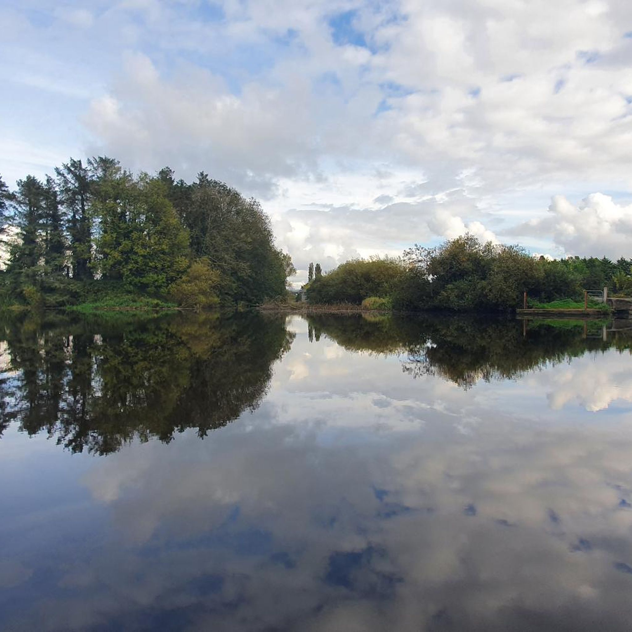
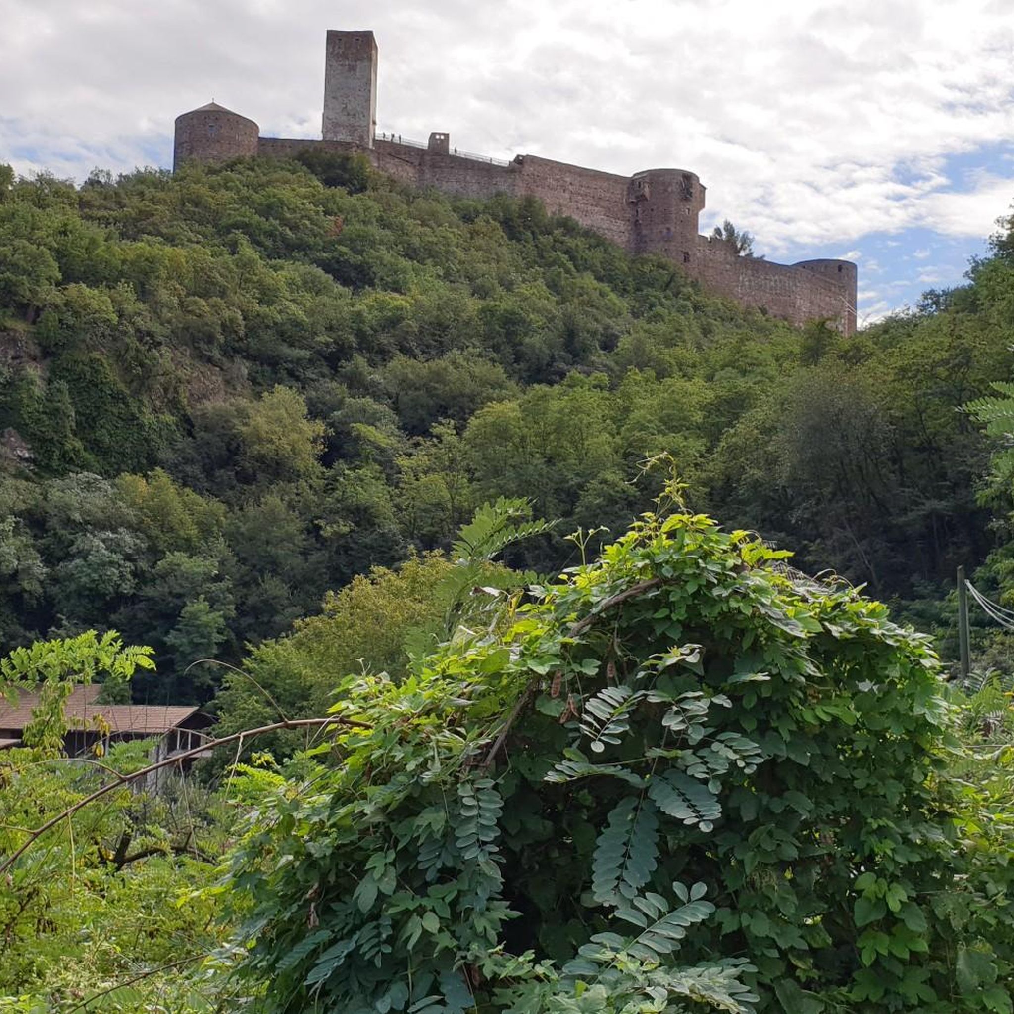
Tips from the Community

Hollie Berrie is a good place for refreshments on the route at Scarva
0
1

The small town of Scarva, nestled between green meadows and the quiet canal, offers a welcome break on my bike tour through Northern Ireland. Here you cycle on well-maintained paths past historic bridges and small villages that give you the feeling that time has stood still. The British flags fluttering along the side of the road remind you that you are in a culturally special area - a detail that reflects the identity of the region. The route is easy to cycle, the surrounding landscape is gently rolling, which makes for pleasant cycling. The view of wide fields and rolling hills invites you to slow down now and then and take in the peace and quiet. A special feature of Scarva is the annual Orange Order March, which transforms the village into a kind of open-air stage once a year and keeps the traditions of this region alive.
1
0

Scarva (from Irish: Scarbhach meaning "shallow place, rough ford" is a small village in the parish of Aghaderg, County Down, Scarva is known as the location of the "Sham Fight" Pageant on 13 July every year. The Pageant attracts thousands of members of the Royal Black Preceptory, who come to act out a symbolic dramatised re-enactment of the Battle of the Boyne.
2
0

The church ruins date from the early 16th century but include stones from a much earlier pre 11th century church. After a new church was built, this one fell into disrepair, but the graveyard remains in use.
0
0
An important historic site, Tullyhogue Fort is where the O'Neills were crowned the Chiefs of Ulster. It is now planted with trees and you can enjoy views across the countryside of County Tyrone.
0
0
Built in the early 17th century for Sir Toby Caulfield, who was given land during the Plantation. Park up your bike and take some time to explore the ruins by foot. Keep an eye out for the murder holes which give an idea of its grim history, as well as the Caulfield Coat of Arms in a prominent position above the doorway.
0
0

A mixture of wooded, paved, and gravel trails will lead you through the wonderful Lough Gall Country Park in Loughgall, County Armagh. There's a wealth of things to discover here such as bluebell and orchid-filled woodlands, a golf and football pitch, an outdoor gym and a coffee shop.
1
0

Village on the Newry cycle path. There is also a Scarva pilbox - one of many left over from the 2nd World War. Worth seeking out if you've got the time.
3
0
Frequently Asked Questions
What is the overall difficulty level for road cycling routes around Derryloughan?
Road cycling around Derryloughan offers a diverse range of difficulties. Out of 87 available routes, 10 are classified as easy, 68 as moderate, and 9 as difficult. This variety ensures options for cyclists of all fitness levels, from gentle gradients to more challenging climbs.
What are the typical lengths of road cycling routes in Derryloughan?
Route lengths vary considerably. You can find shorter rides, such as the Roughan Lough – Tullyleek Loughs loop from Clonoe Park & Ride at 46.6 km, or longer, more demanding routes like the View of Lough Neagh – Lough Neagh loop from Clonmore, which covers 102.4 km.
Are there any family-friendly road cycling routes in the Derryloughan area?
While many road cycling routes share public roads, the region offers some easier loops suitable for families. For instance, the region research mentions an easy 15.8 km loop around Castle Caulfield & Ballysaggart Lough from Dungannon, which is generally more accessible. Always check route details for specific terrain and traffic conditions.
What natural features and viewpoints can I expect to see along the road cycling routes?
The routes often feature the stunning landscapes around Lough Neagh, the largest freshwater lake in the UK and Ireland. You can enjoy views from the Maghery Footbridge at Lough Neagh or explore the scenic Blackwater River Walk, known for its flowering meadows. Bogland areas also characterize the unique regional scenery.
What historical landmarks or attractions are near the cycling routes?
Beyond natural beauty, you can encounter historical sites such as Mountjoy Castle. The region research also highlights Castle Caulfield and Benburb Priory – Navan Fort (Emain Macha) as points of interest along various loops.
What is the best time of year for road cycling in Derryloughan?
The best time for road cycling in Derryloughan is generally during the milder months, from spring through autumn. While specific weather conditions can vary, these seasons typically offer more pleasant temperatures and less challenging weather for exploring the region's diverse landscapes.
Are there circular road cycling routes available around Derryloughan?
Yes, many of the road cycling routes in the area are designed as loops. Examples include the Scarva, Tandragee and Annaghmore loop from Maghery and the Chicken Fillet Shop loop from Clonmore, allowing you to start and finish at the same point.
Where can I find parking facilities for road cycling routes in Derryloughan?
Parking availability varies by starting point. For routes originating near towns like Dungannon, Moy, or Brackaville, you can often find public parking. Specific locations like Loughgall Country Park also offer dedicated parking. It's advisable to check the starting point of your chosen route for precise parking information.
Are there cafes or pubs along the road cycling routes for refreshments?
Yes, routes that pass through or near towns such as Dungannon, Moy, and Brackaville will offer opportunities for refreshments. For example, the Scarva Village – Lottie's Café loop from Clonoe Park & Ride specifically mentions a café, indicating that amenities are available on some routes.
What kind of terrain can I expect on Derryloughan's road cycling routes?
The terrain around Derryloughan is primarily on paved surfaces. You'll encounter varied landscapes, including bogland influenced by Lough Neagh, and areas along the Blackwater River. While there are gentle gradients, some routes also feature moderate climbs, offering a mix of flat sections and rolling hills.
How popular is road cycling in Derryloughan according to other cyclists?
The area is well-regarded by the komoot community, with over 650 road cyclists having explored its varied terrain. Cyclists often praise the diverse landscapes, from the shores of Lough Neagh to the bogland areas and the scenic Blackwater River.
Can I access Derryloughan's cycling routes using public transport?
Access to the region's cycling routes via public transport would typically involve reaching larger towns like Dungannon, Moy, or Tullyroan Oval, and then cycling to the route's starting point. Public transport options within County Tyrone can be limited, so planning your journey in advance is recommended.
Most popular routes around Derryloughan
Most popular attractions around Derryloughan

Get inspired with the komoot mobile app


Explore more
Browse the best Road cycling routes in other regions.
