The best walks and hikes around Lake della Lavagnina
4.4
(495)
2,025
hikers
106
hikes
Hiking trails around Lake della Lavagnina, located near Alessandria, traverse a landscape characterized by its two artificial lakes, the Lower Lake of Lavagnina and the Upper Lake of Lavagnina. The area features a prominent dam, surrounding hills, and sections along the Gorzente River. This region offers a mix of lakeside paths and routes that ascend into the nearby terrain.
Best hiking trails around Lake della Lavagnina
- The most popular hiking route is From Mornese to Tagliolo Monferrato (via Trail 432), a 6.6 miles (10.7 km) trail that takes 3 hours 20 minutes to complete, offering varied terrain between two towns.
- Another top favourite among local hikers is Lower Lake of Lavagnina – Waterfall of Lago Superiore loop from Lago della Lavagnina, a moderate 4.6 miles (7.4 km) path. This route explores the lake's perimeter and leads to a waterfall.
- Local hikers also love the Beach on the Gorzente River – Lower Lake of Lavagnina loop from Lago della Lavagnina, a 4.6 miles (7.4 km) trail leading through lakeside and riverside scenery, often completed in about 2 hours 4 minutes.
- Hiking around Lake della Lavagnina is defined by its lake views, river sections, and paths around the dam. The network offers options for easy, moderate, and difficult ability levels.
- The routes in Lake della Lavagnina are highly rated by the komoot community with an average score of 4.5 stars from over 400 reviews. More than 1,800 hikers have used komoot to explore Lake della Lavagnina's varied terrain.
Last updated: June 25, 2026
10.7km
03:20
420m
420m
Moderate hike. Good fitness required. Easily-accessible paths. Suitable for all skill levels.
4.0
(1)
6
hikers
7.42km
02:22
300m
290m
Moderate hike. Good fitness required. Easily-accessible paths. Suitable for all skill levels.

Sign up for free
4.8
(23)
116
hikers
Moderate hike. Good fitness required. Easily-accessible paths. Suitable for all skill levels.
4.5
(2)
19
hikers
Hard hike. Very good fitness required. Sure-footedness, sturdy shoes and alpine experience required.
5.0
(2)
17
hikers
4.56km
01:17
100m
100m
Easy hike. Great for any fitness level. Easily-accessible paths. Suitable for all skill levels.
Get access to more routes and recommendations from other explorers.
Sign up for free
Already have an account?
Our route recommendations are based on thousands of hikes, rides, and runs completed by other people on komoot.
Start today with a free account
Your next adventure awaits.
Login or Signup
Tips from the Community

Small church on the summit of Mount Tobbio 1092m. It was built in 1897.
0
0

easy path, suitable for everyone, possibility to continue with various paths..
0
0

Absolutely worth visiting! wild enough!
0
0

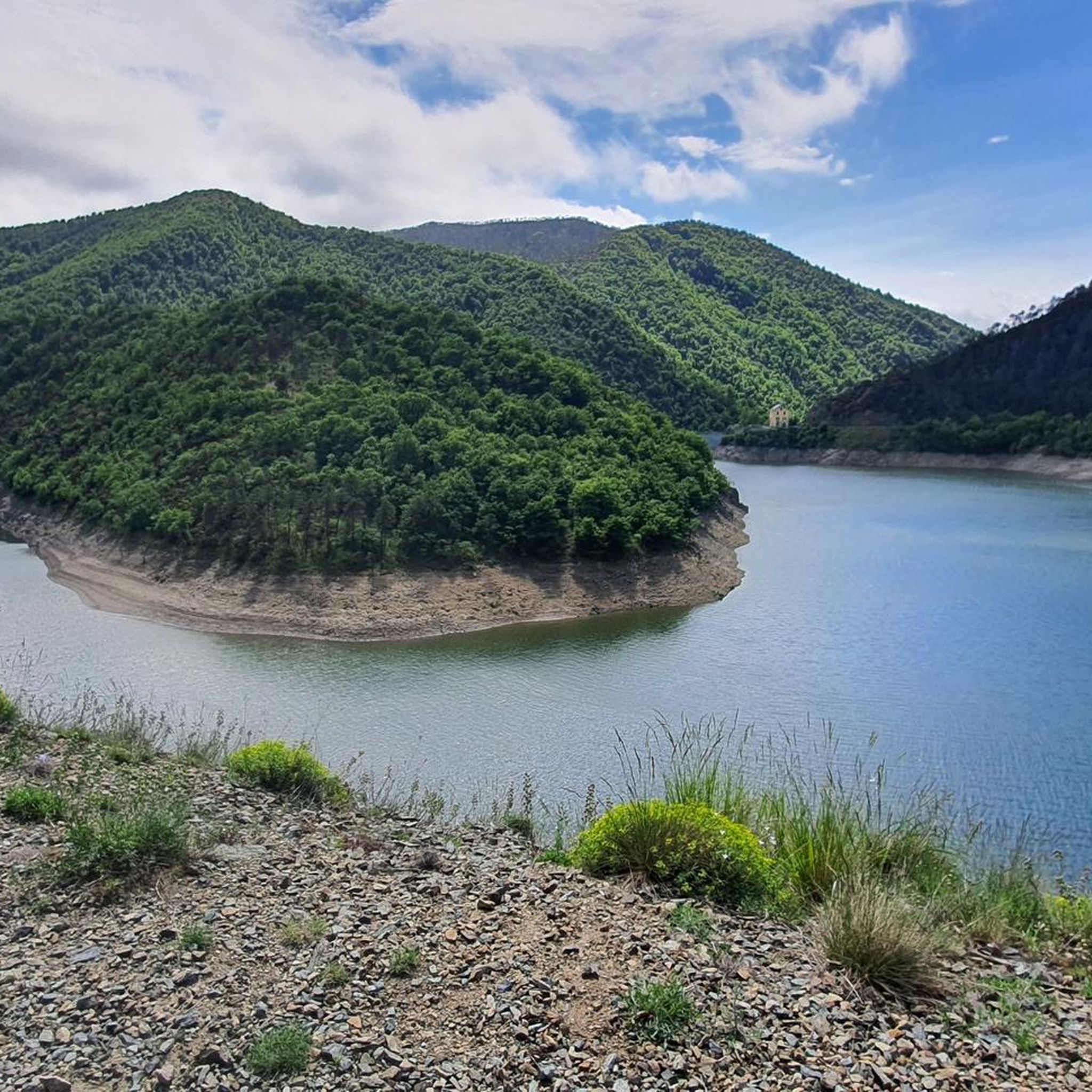
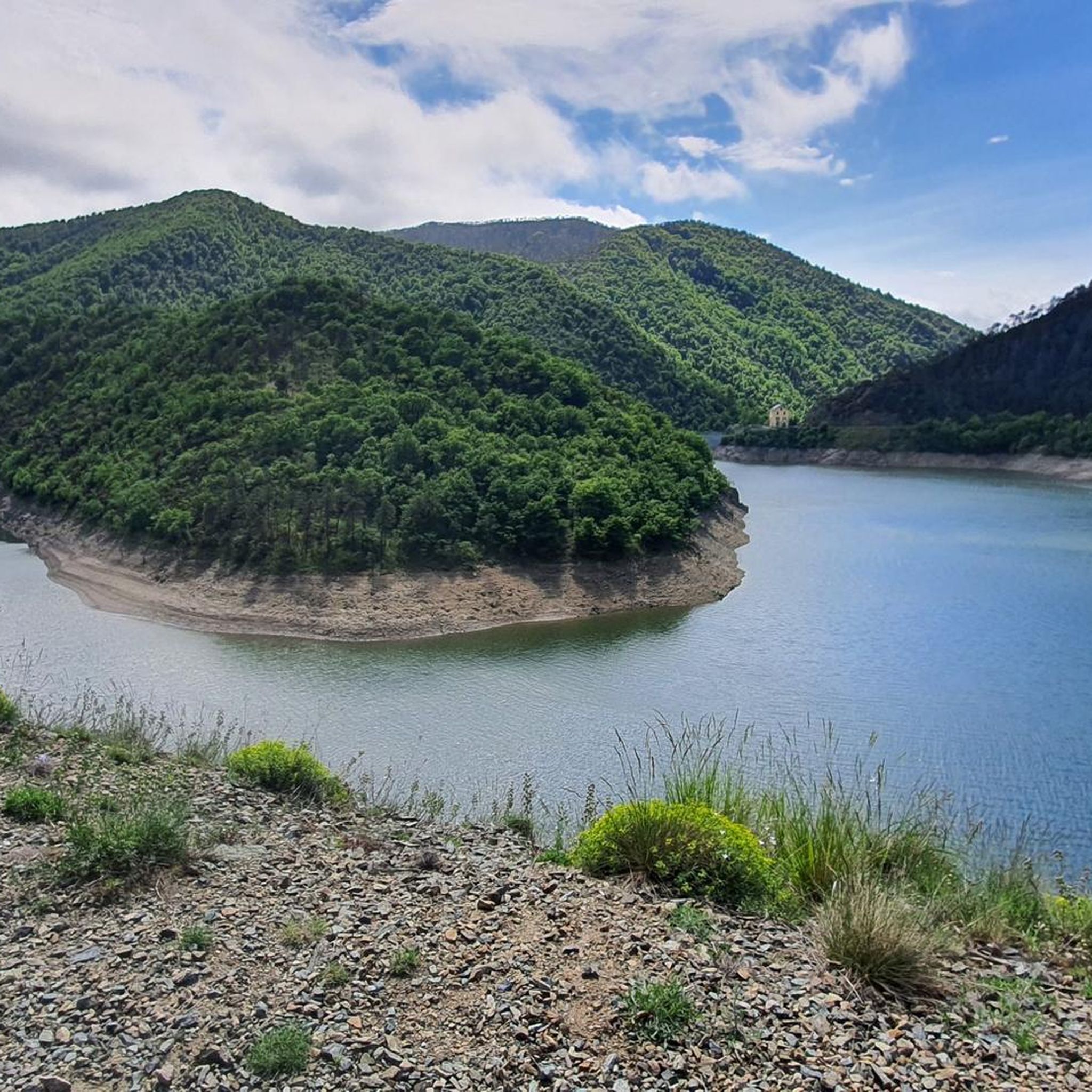
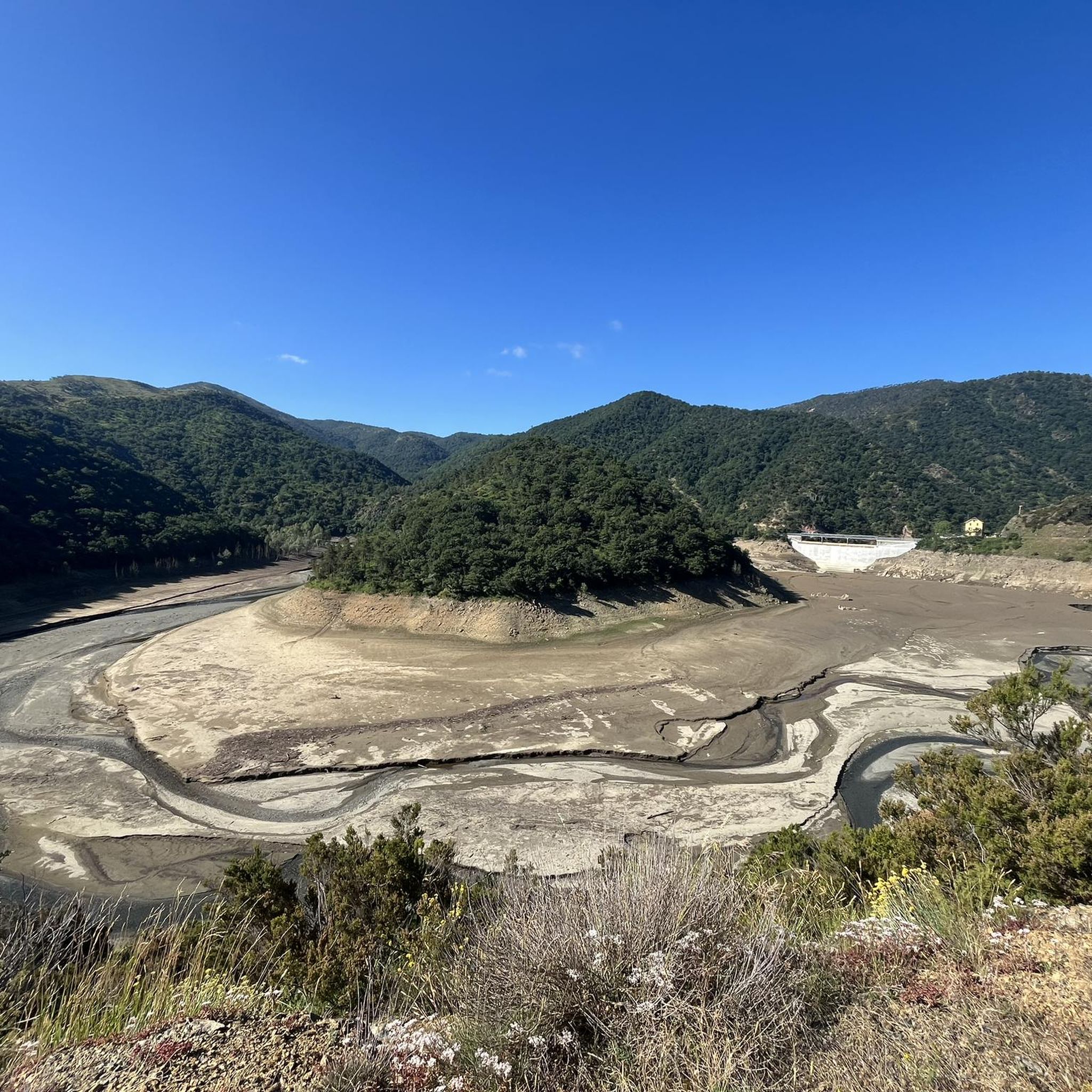
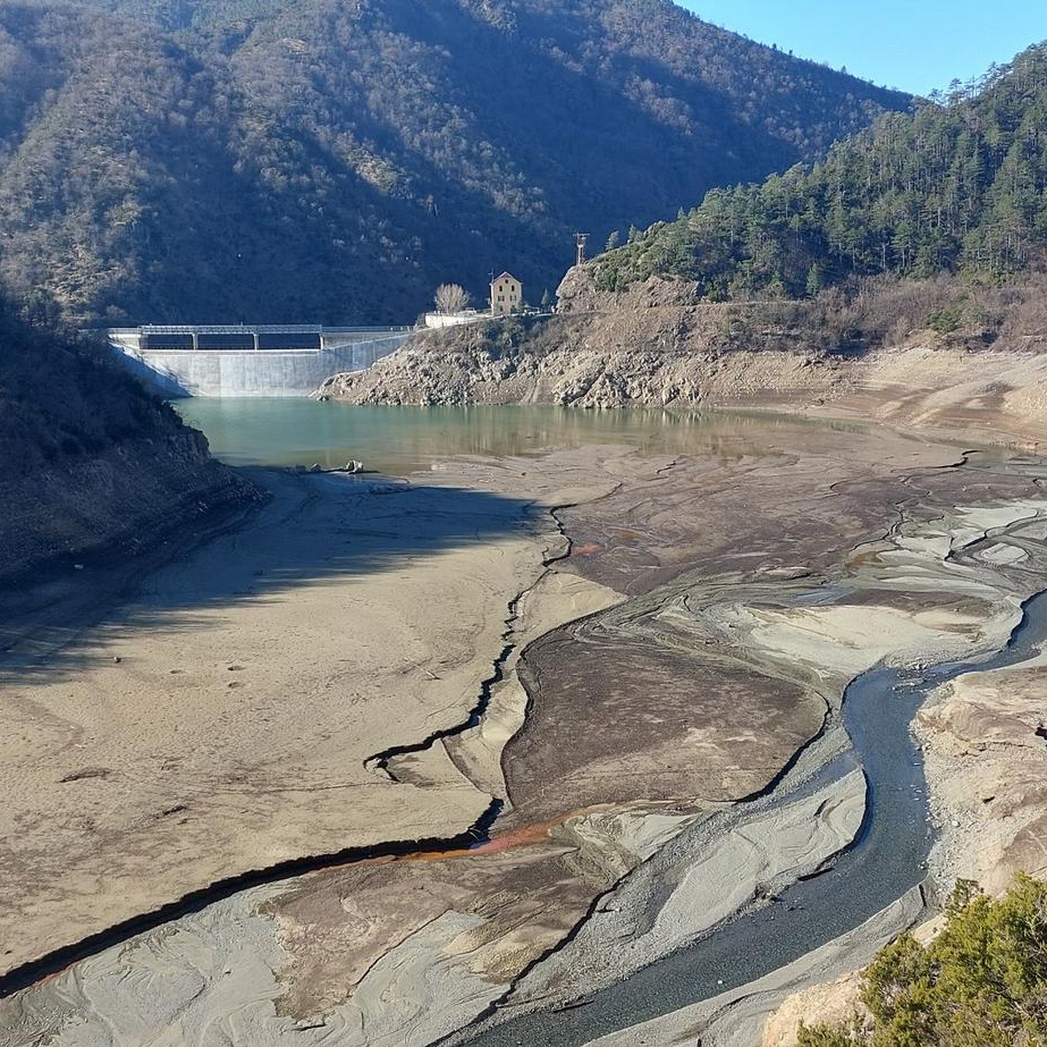
The Naturalistic Path of the Lavagnina Lakes goes into the valley of the Gorzente stream and offers those who travel along it a truly breathtaking view.
0
1
After the nature trail we arrive at this wonderful beach!
0
0

Beautiful view of the Capanne di Marcarolo Natural Park.
3
0
Frequently Asked Questions
How many hiking trails are available around Lake della Lavagnina?
There are over 100 hiking routes to explore around Lake della Lavagnina, offering a wide range of options for different skill levels and preferences.
Are there easy hiking trails suitable for beginners or families?
Yes, Lake della Lavagnina features 12 easy hiking trails. A good option for a relaxed walk is the Dam – Lake Lavagnina loop from Graxè, which is an easy 4.6 km (2.8 miles) route.
Can I find circular hiking routes around Lake della Lavagnina?
Absolutely. Many trails around Lake della Lavagnina are circular, allowing you to start and end at the same point. Examples include the Lower Lake of Lavagnina – Waterfall of Lago Superiore loop from Lago della Lavagnina and the Beach on the Gorzente River – Lower Lake of Lavagnina loop from Lago della Lavagnina.
Are there any challenging hikes for experienced trekkers?
Yes, for those seeking a more strenuous experience, there are 35 difficult routes in the area. These often involve greater elevation changes and longer distances, providing a good test for experienced hikers.
What do other hikers say about the trails around Lake della Lavagnina?
The trails around Lake della Lavagnina are highly regarded by the komoot community, with an average rating of 4.5 stars from over 400 reviews. Hikers often praise the diverse scenery, including lake views, river sections, and paths around the dam.
Are dogs allowed on the hiking trails?
Generally, dogs are welcome on trails around Lake della Lavagnina, but it's always advisable to keep them on a leash, especially near wildlife or other hikers. Check local signage for any specific restrictions in certain areas.
Is there parking available near the trailheads?
Parking is typically available at various access points around Lake della Lavagnina, particularly near popular starting points for trails. Specific parking information can often be found in the details of individual komoot tours.
Are there any trails that feature waterfalls?
Yes, one notable route that includes a waterfall is the Lower Lake of Lavagnina – Waterfall of Lago Superiore loop from Lago della Lavagnina. This moderate trail explores the lake's perimeter and leads to a scenic waterfall.
What is the best time of year to go hiking around Lake della Lavagnina?
Spring and autumn generally offer the most pleasant hiking conditions with mild temperatures and beautiful foliage. Summer can also be enjoyable, especially for early morning or late afternoon hikes to avoid the midday heat. Winter hiking is possible, but some paths might be muddy or require appropriate gear.
Can I reach the Lake della Lavagnina trails using public transport?
While direct public transport options to all trailheads might be limited, it is possible to reach nearby towns by bus or train. From there, you might need to walk or arrange for local transport to reach specific starting points. Planning your route on komoot can help identify accessible trailheads.
Are there any hidden gems or less-trafficked trails?
With over 100 routes, there are many opportunities to discover quieter paths away from the most popular spots. Exploring some of the longer or more challenging routes, such as From Mornese to Tagliolo Monferrato (via Trail 432), can lead you to more secluded sections of the region.
Are there places to eat or get refreshments near the hiking areas?
While the immediate lakeside area might have limited facilities, nearby towns and villages often offer cafes, restaurants, and shops where you can find refreshments and meals before or after your hike.
Most popular routes around Lake della Lavagnina

Get inspired with the komoot mobile app


Explore more
Browse the best Hikes in other regions.
