The best mountain hikes around Laghi Gemelli
4.7
(21)
151
hikers
7
hikes
Mountaineering routes around Laghi Gemelli are situated in Italy's Orobie Prealps, characterized by diverse mountainous terrain and several lakes. The region features thick woods, green pastures, and challenging ascents leading to peaks over 2,000 meters. The landscape is defined by its artificial lakes, including the expansive Laghi Gemelli, and surrounding alpine environments.
Best mountaineering routes around Laghi Gemelli
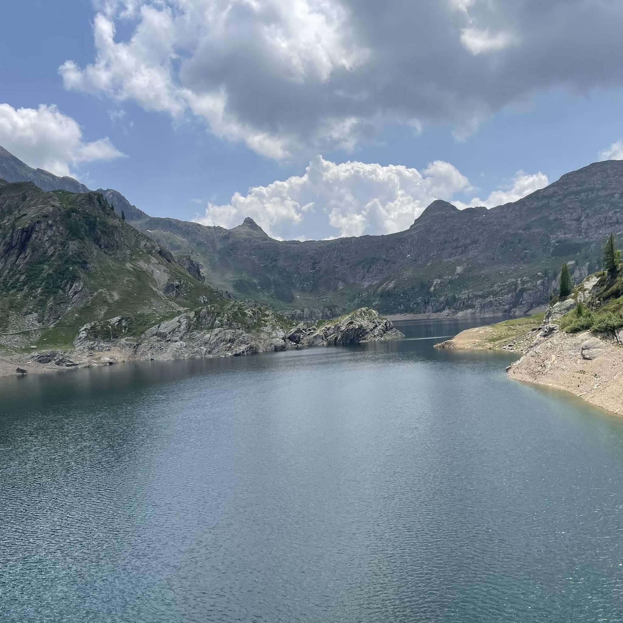
- The most popular mountaineering route is Laghi Gemelli loop from Bar Ötzi, a 5.6 miles (8.9 km) trail that takes 4 hours 32 minutes to complete, offering views of the artificial lake.
- Another top favourite among local mountaineers is Pizzo Arera (2,512 m) – Capanna 2000 Mountain Hut loop from Bar Ötzi, a difficult 10.1 miles (16.3 km) path traversing high alpine terrain and reaching a significant peak.
- Local mountaineers also love the Rifugio Gemelli loop from Carona, a 7.0 miles (11.3 km) trail leading through dense forests and pastures, often completed in about 5 hours 48 minutes.
- Mountaineering around Laghi Gemelli is defined by its artificial lakes, thick woods, and challenging mountainous terrain. The network offers options for both moderate and difficult ability levels, requiring good fitness and alpine experience.
- The routes in Laghi Gemelli are highly rated by the komoot community with an average score of 4.7 stars from over 30 reviews. More than 300 mountaineers have used komoot to explore Laghi Gemelli's varied terrain.
Last updated: July 4, 2026
5.0
(1)
5
hikers
16.1km
08:06
1,320m
1,320m
Hard mountaineering route. Very good fitness required. Sure-footedness, sturdy shoes and alpine experience required.
4.7
(3)
14
hikers
14.3km
06:18
1,000m
1,000m
Hard mountaineering route. Very good fitness required. Sure-footedness, sturdy shoes and alpine experience required.

Sign up for free
4.5
(8)
55
hikers
10.7km
06:52
1,270m
1,270m
Hard mountaineering route. Very good fitness required. Sure-footedness, sturdy shoes and alpine experience required.
6
hikers
Hard mountaineering route. Very good fitness required. Sure-footedness, sturdy shoes and alpine experience required.
4.3
(3)
24
hikers
12.2km
07:06
1,300m
1,310m
Hard mountaineering route. Very good fitness required. Sure-footedness, sturdy shoes and alpine experience required.
Get access to more routes and recommendations from other explorers.
Sign up for free
Already have an account?
Our route recommendations are based on thousands of hikes, rides, and runs completed by other people on komoot.
Start today with a free account
Your next adventure awaits.
Login or Signup
Tips from the Community

beautiful view and a nice place to pass through for many tours
1
0

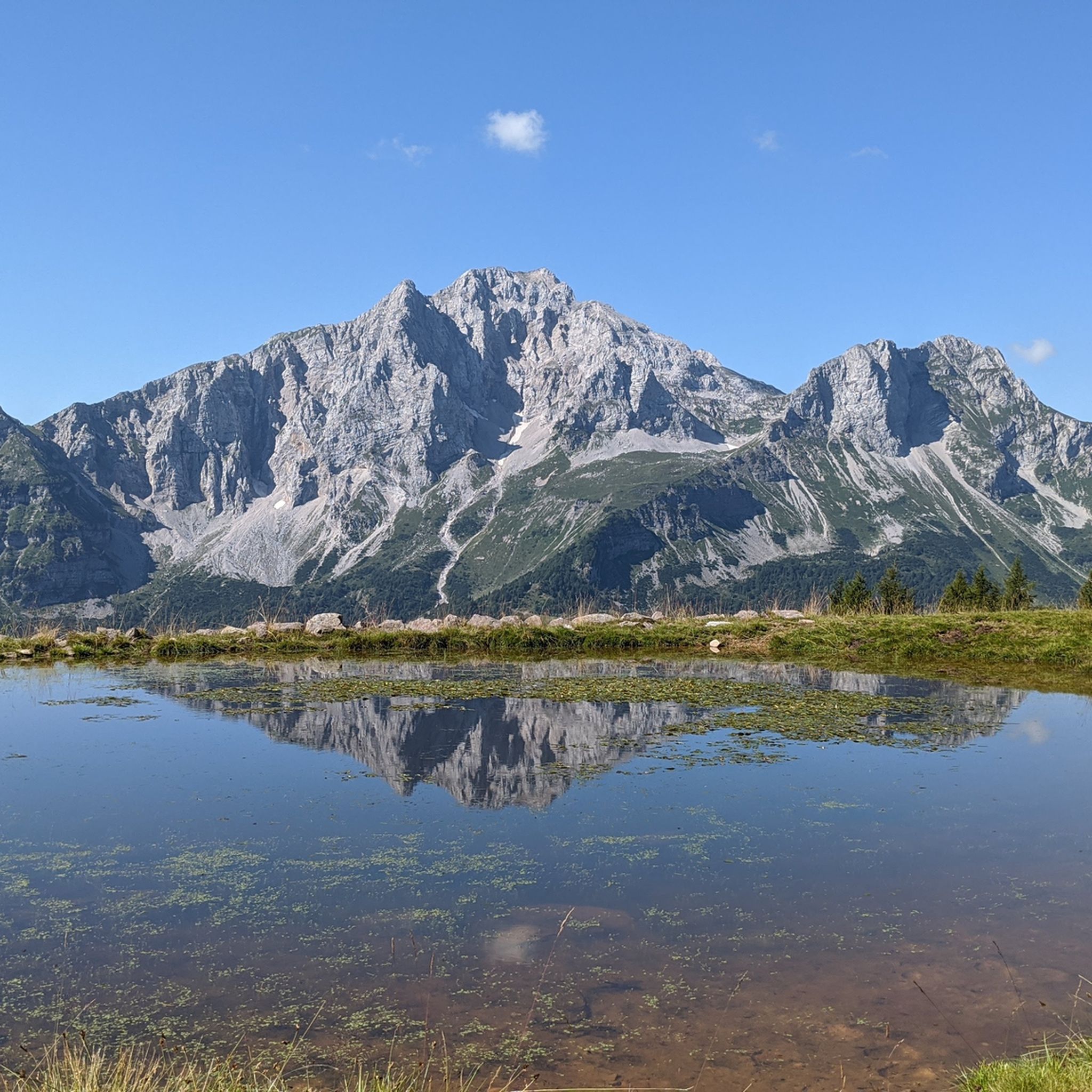
On the summit of Pizzo Arera there is a cast iron cross that stands out against the fantastic panorama of the Orobie.
0
0

Monte Madonnino is a peak in the Orobie Alps, 2,502 meters high, located on the natural border between Val Brembana and Val Seriana. It owes its name to the small statue of the Madonna placed on the summit, an exceptional panoramic point from which you can admire giants such as Pizzo del Diavolo di Tenda and Monte Rosa.
0
0

departure point for excursions, the most popular being the flower trail. Be careful to display the ticket that can be purchased at the start of the climb.
0
0
halfway along the circular route from Plassa on the Arera flower trail
1
1
arrival point halfway around the ring on the flower trail in Arera
1
0

A nice place to stop to enjoy an excellent view of the Twin Lakes.
0
0

It requires a little more effort and a detour from the usual twin lakes loop route, but why not?
0
0
Frequently Asked Questions
How many mountaineering routes are available around Laghi Gemelli?
There are 19 mountaineering routes around Laghi Gemelli, offering diverse experiences in the Orobie Prealps. Most of these routes are considered difficult, requiring good fitness and alpine experience.
What is the typical difficulty level for mountaineering routes in this region?
The majority of mountaineering routes around Laghi Gemelli are rated as difficult, with 18 out of 19 routes falling into this category. There is also one moderate route available. These trails often involve significant elevation gains and rugged alpine terrain, requiring sure-footedness and sturdy shoes.
Are there any circular mountaineering routes around Laghi Gemelli?
Yes, several circular routes are available. A popular option is the Laghi Gemelli loop from Bar Ötzi, which is a moderate 8.9 km trail. For a more challenging experience, consider the Laghi Gemelli – Rifugio Gemelli loop from Valcanale, a difficult 15.4 km route.
What natural features can I expect to see on the mountaineering routes?
The routes wind through diverse environments, including thick woods, green pastures, and rugged alpine terrain. You'll encounter the expansive artificial Laghi Gemelli (Twin Lakes), other smaller lakes like Lake Marcio, and natural attractions such as the Val Sambuzza Waterfall. The surrounding majestic peaks, including Pizzo Arera and Pizzo del Becco, provide dramatic backdrops.
What is the best time of year for mountaineering in Laghi Gemelli?
The warmer months are generally best for mountaineering, offering clear trails and accessible refuges. In winter, the area transforms, providing opportunities for snowshoeing with breathtaking views of snow-covered peaks and frozen lakes. However, winter conditions require specific gear and experience.
Are there any family-friendly mountaineering options around Laghi Gemelli?
While most routes are rated difficult, some sections or shorter walks around the main Laghi Gemelli might be suitable for families with older children who have some hiking experience. The Laghi Gemelli loop from Bar Ötzi is a moderate option that could be considered, but always assess the fitness and experience of all participants.
Can I bring my dog on the mountaineering trails in Laghi Gemelli?
The Orobie Prealps, where Laghi Gemelli is located, generally allows dogs on trails. However, it's always advisable to keep dogs on a leash, especially in areas with livestock or protected wildlife. Ensure your dog is fit enough for the challenging terrain and carry enough water for both of you.
Where can I find accommodation or places to eat near the trails?
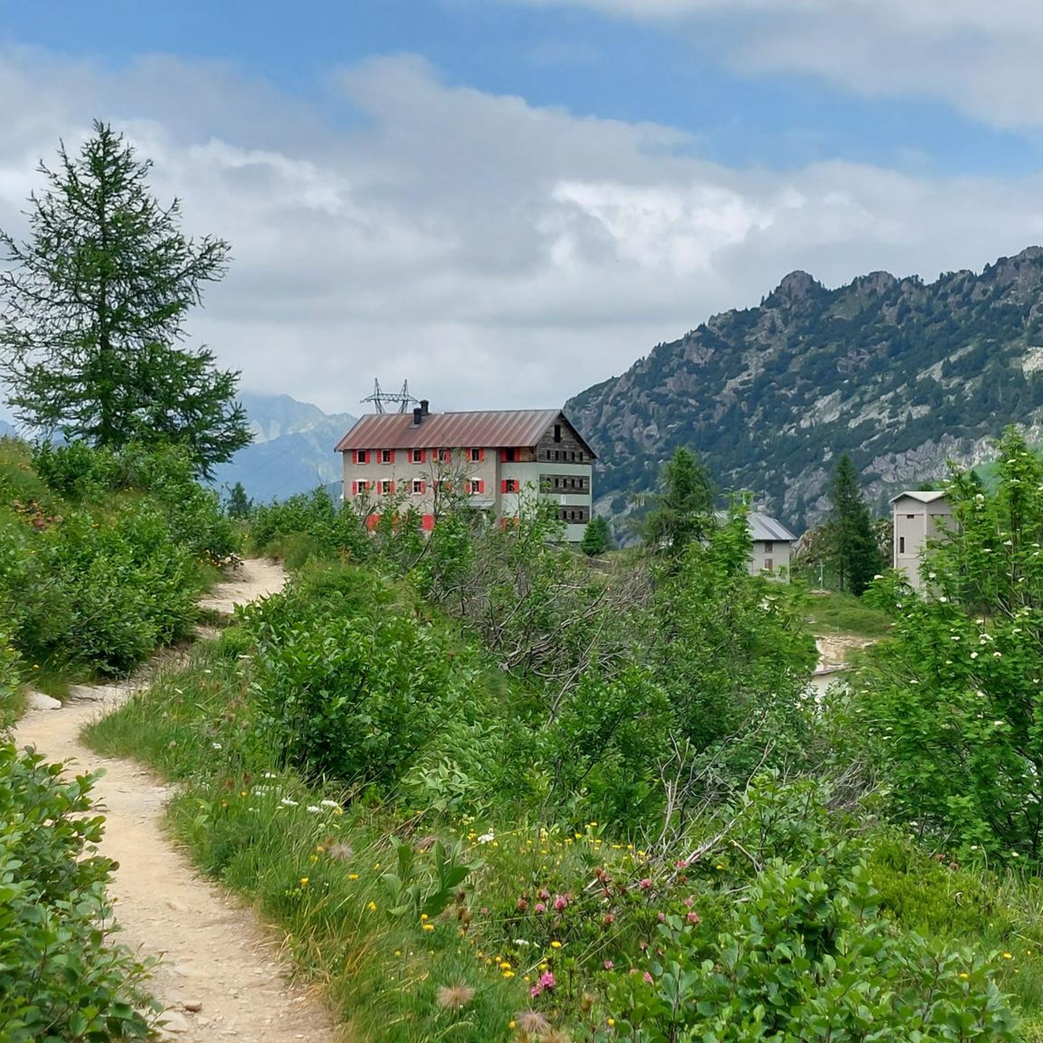
The Rifugio Laghi Gemelli, located at 1,968 meters, offers accommodation, traditional local cuisine, and serves as a base for many hikes. Nearby villages like Carona, Branzi, and Roncobello also provide various options for cafes, pubs, and accommodation.
What do other mountaineers enjoy most about the routes in Laghi Gemelli?
The area is highly rated by the komoot community, with an average score of 4.7 stars from over 30 reviews. Mountaineers often praise the stunning alpine scenery, the challenge of the ascents, and the well-maintained network of trails that lead through diverse landscapes including artificial lakes, thick woods, and green pastures.
Are there any permits required for mountaineering in the Laghi Gemelli area?
Generally, no specific permits are required for hiking or mountaineering on the established trails in the Laghi Gemelli area within the Orobie Prealps. However, it's always good practice to check local regulations, especially if planning to venture off marked paths or engage in specific climbing activities like via ferratas.
How can I reach the trailheads using public transport?
Public transport options exist to reach villages like Carona, Branzi, and Valcanale, which serve as starting points for many routes. You can typically find bus services from larger towns like Piazza Brembana connecting to these smaller communities in the Brembana Valley. From these villages, trailheads are often accessible on foot or via local shuttles if available.
Are there any specific viewpoints or panoramic spots along the routes?
Many routes offer panoramic views of the Laghi Gemelli and the surrounding Orobie Prealps. Ascents to peaks like Pizzo Arera (2,512 m) or Pizzo del Becco provide expansive vistas. The area around the Rifugio Laghi Gemelli also offers excellent vantage points over the main lake.
Most popular routes around Laghi Gemelli

Get inspired with the komoot mobile app


Explore more
Browse the best Mountain Hikes & Routes in other regions.
