The best walks and hikes around Buttelstedt
4.6
(2025)
10,069
hikers
524
hikes
Hiking around Buttelstedt, located in the Weimarer Land district of Thuringia, Germany, offers a variety of trails through a landscape characterized by rolling hills and agricultural areas. The region is situated near the Ilm River valley, providing scenic views and natural features. While specific high peaks are absent, the area includes numerous natural monuments and woodlands suitable for outdoor exploration. The terrain generally features gentle elevation changes, making it accessible for various hiking abilities.
Best hiking trails around Buttelstedt
- The most popular hiking route is Oberreißen Village Church – Camposanto Cemetery Buttstädt loop from Buttelstedt, a 10.3 miles (16.5 km) trail that takes 4 hours 18 minutes to complete. This route features varied terrain with moderate elevation gain.
- Another top favourite among local hikers is Heichelheim Dam loop from Daasdorf, an easy 2.0 miles (3.3 km) path. This trail offers a short, accessible walk around the Heichelheim Dam with minimal elevation.
- Local hikers also love the Finally, no more road – Ecumenical Way of St. James loop from Buttelstedt, a 2.8 miles (4.5 km) trail leading through open countryside and local paths, often completed in about 1 hour 10 minutes.
- Hiking around Buttelstedt is defined by rolling hills, agricultural landscapes, and local natural monuments. The network offers options for different ability levels, from easy walks to moderate hikes.
- The routes in Buttelstedt are highly rated by the komoot community with an average score of 4.6 stars from more than 2000 reviews. More than 10000 hikers have used komoot to explore Buttelstedt's varied terrain.
Last updated: May 11, 2026
4.3
(3)
11
hikers
Moderate hike. Good fitness required. Easily-accessible paths. Suitable for all skill levels.
4.3
(4)
14
hikers
3.29km
00:51
10m
10m
Easy hike. Great for any fitness level. Easily-accessible paths. Suitable for all skill levels.

Sign up for free
4.0
(2)
10
hikers
Easy hike. Great for any fitness level. Easily-accessible paths. Suitable for all skill levels.
2
hikers
4.72km
01:14
30m
30m
Easy hike. Great for any fitness level. Easily-accessible paths. Suitable for all skill levels.
2
hikers
3.96km
01:02
30m
30m
Easy hike. Great for any fitness level. Easily-accessible paths. Suitable for all skill levels.
Get access to more routes and recommendations from other explorers.
Sign up for free
Already have an account?
Our route recommendations are based on thousands of hikes, rides, and runs completed by other people on komoot.
Start today with a free account
Your next adventure awaits.
Login or Signup

Tips from the Community

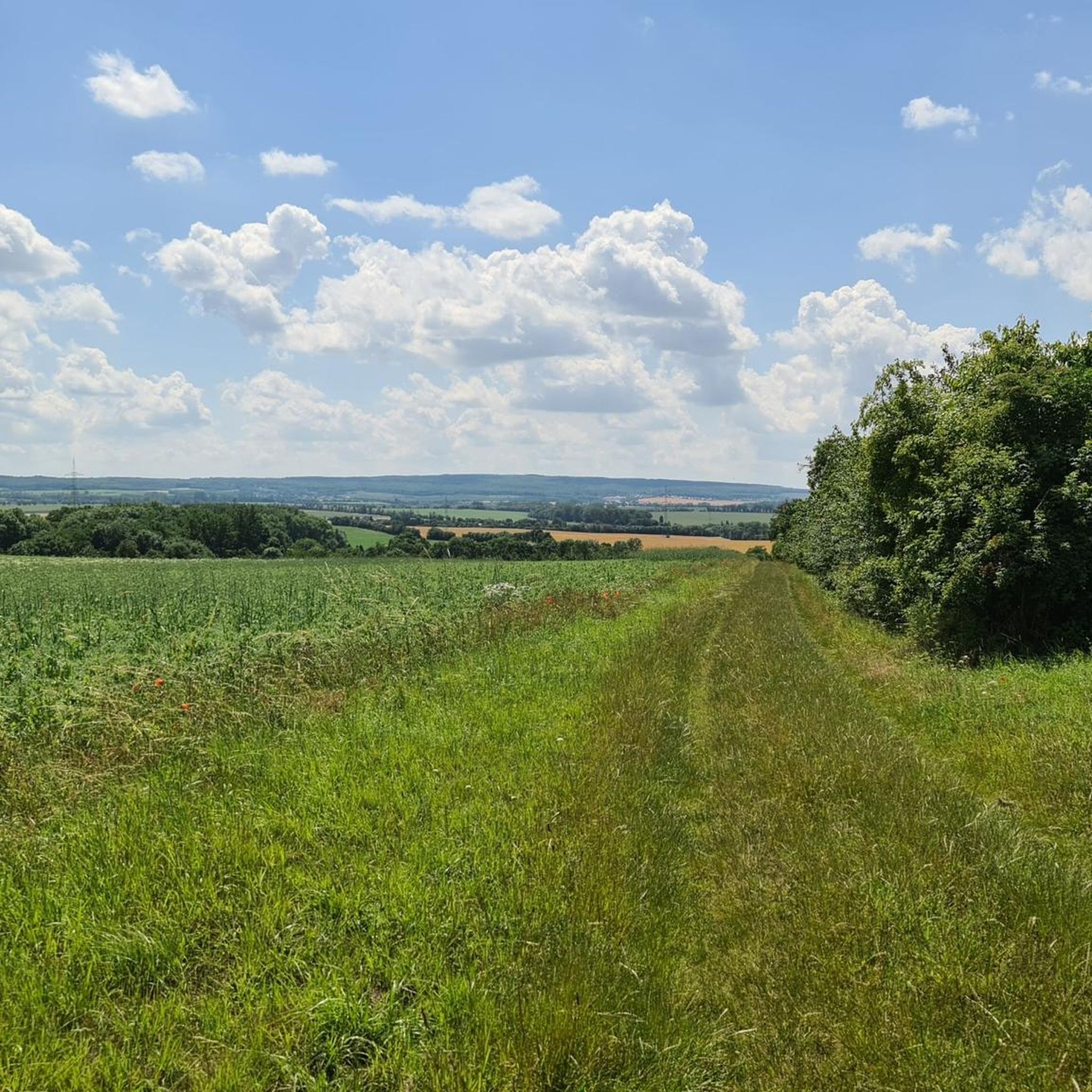
We continue on the path, now through a beautiful landscape in lush green, the crickets chirp enchantingly around us. Now we go uphill, the grass and bushes are getting higher and higher, higher than us, startled by us in the thicket, deer run. We get back onto a forest path and reach the town of Buttelstedt. The church is in the center, the town has been there since 768. We buy drinks and treat ourselves to a refreshment in the ice cream parlor. Now we continue parallel to the road, along the cycle path. https://youtu.be/nFbLNkERv8c
0
0
We continue on the path, now through a beautiful landscape in lush green, the crickets chirp enchantingly around us. Now we go uphill, the grass and bushes are getting higher and higher, higher than us, startled by us in the thicket, deer run. We get back onto a forest path and reach the town of Buttelstedt. The church is in the center, the town has been there since 768. We buy drinks and treat ourselves to a refreshment in the ice cream parlor. Now we continue parallel to the road, along the cycle path. https://youtu.be/_M_yFB9L0mc
0
0
After a conversation we continue walking to look at the wide fields again and after a while we reach Nermsdorf. The place was first mentioned in 876, and the path leads us to St. Laurentius Church. It is open, we go in and it is kept simple. There is also an exhibition here with lots of information. https://youtu.be/nFbLNkERv8c
0
0
Almost like a monument, a reference to the Way of St. James, we get our hiking stamp in the house opposite. After a chat, we continue walking, looking at the wide fields again, and after a while we reach Nermsdorf. Here is our entire hike https://youtu.be/nFbLNkERv8c
0
0
We reach Oberreißen, the church is magnificent in the light, we walk through the town. Seen on our hike https://youtu.be/_M_yFB9L0mc
0
0

old church of a rich community, definitely have a look +
0
1

Only approx. 2648 km bis Santiago de Compostella (Spain).
0
0
Only approx. 2660 km bis Santiago de Compostella (Spain).
0
0
Frequently Asked Questions
What kind of landscape can I expect when hiking around Buttelstedt?
Buttelstedt, located in the Weimarer Land district, offers a landscape characterized by rolling hills, agricultural areas, and woodlands. The region is near the Ilm River valley, providing scenic views and natural features. While there are no high peaks, you'll find numerous natural monuments suitable for outdoor exploration.
How many hiking trails are available in the Buttelstedt area?
There are over 500 hiking trails around Buttelstedt, catering to various skill levels. You'll find a wide selection, including over 290 easy routes and more than 210 moderate options, with a few challenging trails for experienced hikers.
Are there any easy hiking trails suitable for beginners or a relaxed walk?
Yes, Buttelstedt offers many easy trails. For a short, accessible walk, consider the Heichelheim Dam loop from Daasdorf, which is just 3.3 km with minimal elevation. Another gentle option is the Hiking loop from Leutenthal, covering about 3.9 km.
What are some notable landmarks or attractions I might see while hiking near Buttelstedt?
While hiking in the broader region, you can explore several interesting points. Near Weimar, you might encounter historical sites like the Goethe's Garden House or the Goethe–Schiller Monument. The Ilmtal Cycle Path Between Weimar and Tiefurt also offers scenic views and adjacent walking opportunities.
Are there any circular hiking routes in Buttelstedt?
Yes, many trails in Buttelstedt are designed as loops. A popular moderate option is the Oberreißen Village Church – Camposanto Cemetery Buttstädt loop from Buttelstedt, which is 16.5 km long. For an easier circular walk, try the Finally, no more road – Ecumenical Way of St. James loop from Buttelstedt, a 4.5 km trail through open countryside.
What do other hikers say about the trails in Buttelstedt?
The hiking routes in Buttelstedt are highly regarded by the komoot community, holding an average score of 4.6 stars from over 2,000 reviews. More than 10,000 hikers have used komoot to explore the varied terrain, often praising the well-maintained paths and the peaceful, rolling landscapes.
Are there any lakes or reservoirs accessible from hiking trails in the area?
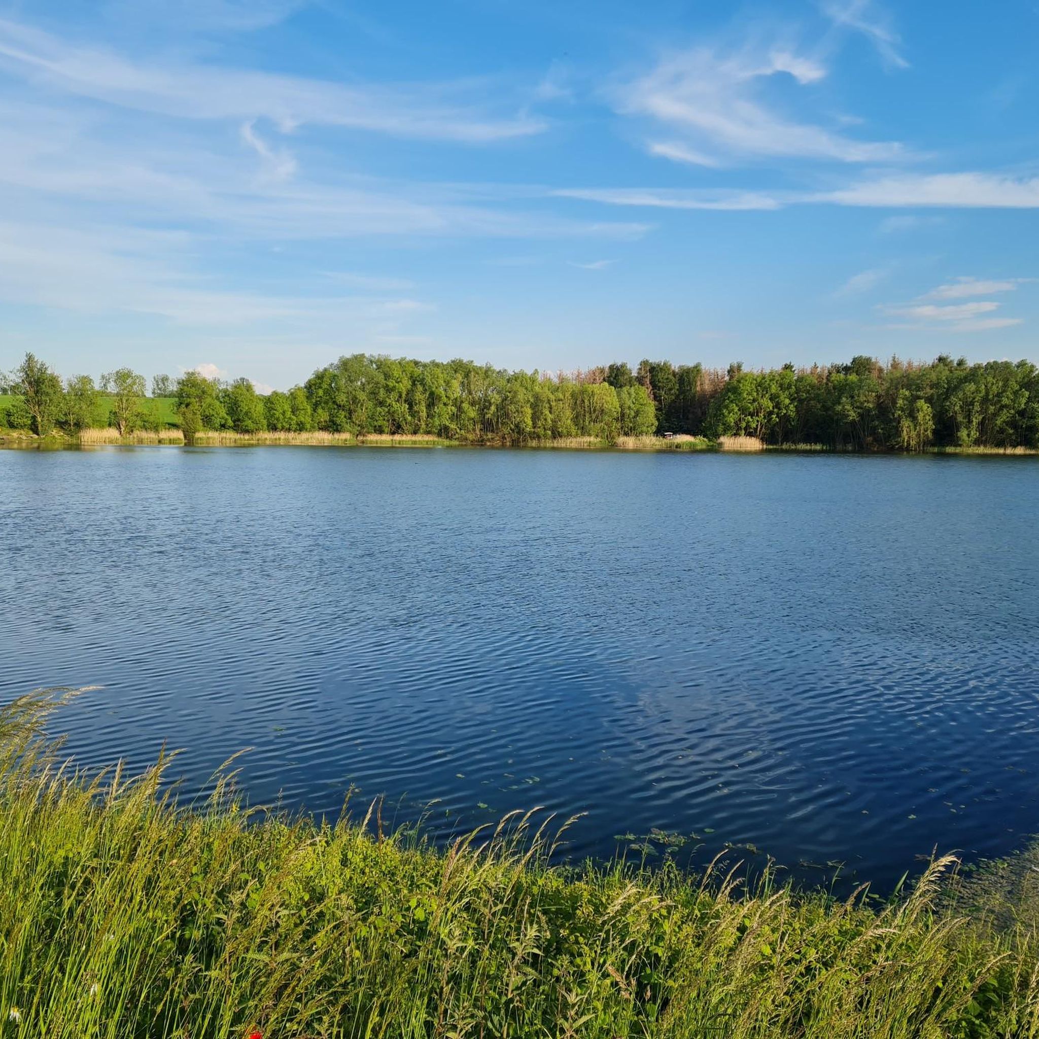
Yes, the region around Buttelstedt features several bodies of water. You can find the Kromsdorf Reservoir and the Heichelheim Reservoir, which offer pleasant scenery and often have trails nearby, such as the Heichelheim Dam loop from Daasdorf.
What is the best time of year to go hiking in Buttelstedt?
Buttelstedt's landscape of rolling hills and agricultural areas makes it suitable for hiking across multiple seasons. Spring and autumn offer pleasant temperatures and vibrant scenery, while summer provides longer daylight hours. Even in winter, the gentle terrain can be enjoyable for walks, though conditions may vary.
Are there any family-friendly hiking options in Buttelstedt?
Many of the easy trails in Buttelstedt are suitable for families. The region's generally gentle elevation changes and well-maintained paths make it accessible for children. Shorter loop trails, like the Heichelheim Dam loop from Daasdorf, are excellent choices for a family outing.
Can I bring my dog on the hiking trails in Buttelstedt?
Generally, dogs are welcome on hiking trails in the Buttelstedt area. The open countryside and woodlands provide ample space for walks with your canine companion. However, always ensure your dog is leashed, especially near agricultural areas or wildlife, and be mindful of local regulations.
What is the typical terrain and elevation like on Buttelstedt's hiking trails?
The terrain around Buttelstedt is characterized by rolling hills and agricultural land, with gentle elevation changes. While there are no high mountains, you will encounter moderate ascents and descents, particularly on longer routes like the Oberreißen Village Church – Camposanto Cemetery Buttstädt loop, which has about 118 meters of elevation gain.
Are there any trails that follow historical or themed paths?
Yes, you can explore paths with historical significance. For instance, the Finally, no more road – Ecumenical Way of St. James loop from Buttelstedt is part of a longer pilgrimage route, offering a unique cultural dimension to your hike through the local countryside.
Most popular routes around Buttelstedt
Most popular attractions around Buttelstedt

Get inspired with the komoot mobile app


Explore more
Browse the best Hikes in other regions.
