The best road cycling routes around Lake Scandarello
4.5
(15)
498
riders
19
rides
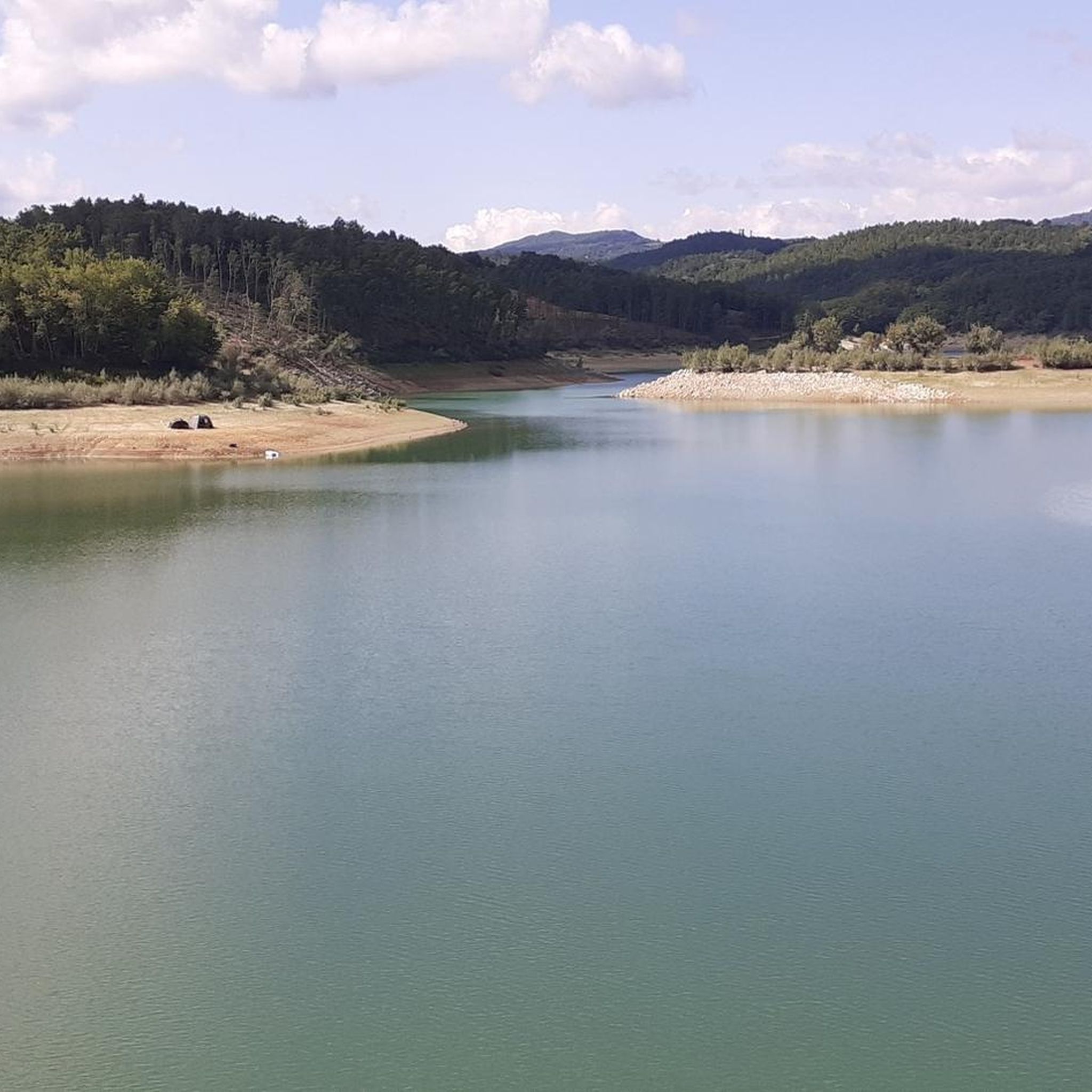
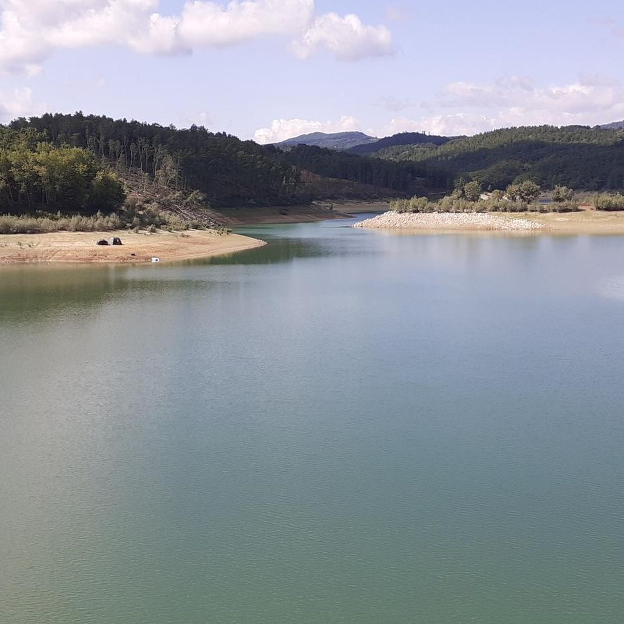
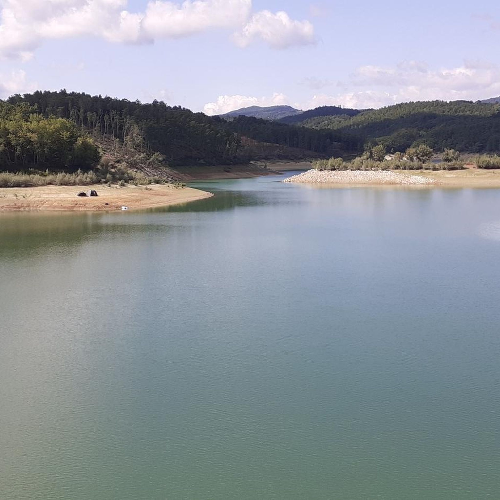
Road cycling around Lake Scandarello is characterized by its setting at 868 meters above sea level, nestled within the western peaks of the Monti della Laga. The artificial lake, created by damming the Scandarello torrent, is surrounded by slopes covered in broadleaf forests and green mountains. This topography provides a varied landscape for road cyclists, featuring both ascents and scenic stretches. The region's elevation contributes to routes with significant elevation gain.
Best road cycling routes around Lake Scandarello
- The most…
Last updated: May 27, 2026
3.5
(2)
60
riders
109km
05:14
1,490m
1,490m
Hard road ride. Very good fitness required. Mostly well-paved surfaces and easy to ride.
4.8
(4)
164
riders
97.2km
04:38
1,350m
1,350m
Hard road ride. Very good fitness required. Mostly well-paved surfaces and easy to ride.

Sign up for free
23
riders
94.2km
05:04
1,880m
1,880m
Hard road ride. Very good fitness required. Mostly well-paved surfaces and easy to ride.
5.0
(1)
11
riders
84.3km
04:33
1,700m
1,700m
Hard road ride. Very good fitness required. Mostly well-paved surfaces and easy to ride.
7
riders
192km
09:28
2,910m
2,910m
Hard road ride. Very good fitness required. Mostly well-paved surfaces and easy to ride.
Get access to more routes and recommendations from other explorers.
Sign up for free
Already have an account?
Our route recommendations are based on thousands of hikes, rides, and runs completed by other people on komoot.
Start today with a free account
Your next adventure awaits.
Login or Signup
Popular around Lake Scandarello
Tips from the Community

Ascending from the Pian Grande along the road toward the Forca Canapine pass, you're captivated by the wonder of the surroundings. The atmosphere is heavenly. Perhaps the time of year chosen for this tour was fortunate, as the melting snow on the plain has formed small lakes that contribute to making everything even more beautiful.
0
0
Climbing from the Pian Grande towards Forche Camapine, our gaze is captured by what appears around 360° in this plateau with a unique morphology, it seems to be in an earthly paradise. In this period I found natural lakes formed by the melting snow on the plain that create new landscapes... How lucky to have been there right at the end of February
0
0
Passing over the pass that leads to Ascoli Piceno ( FORCA DI PRESTA ), it feels like being in the Alps. You pass between carved rocks with a panorama around that ranges over special views towards the Marche region (for example the Laga mountains) and the Abruzzo Apennines.
0
0

From this point you can admire the beautiful Sibillini mountains.
18
0


A border crossing in the province of L'Aquila located 1,300 meters above sea level to cross the Gran Sasso mountain range via state road 80, which connects the provinces of Teramo and L'Aquila.
0
0


Very fast descent, excellent bottom
0
0
Frequently Asked Questions
What is the typical terrain and difficulty level for road cycling routes around Lake Scandarello?
Road cycling around Lake Scandarello is characterized by its mountainous setting within the western peaks of the Monti della Laga, at an elevation of 868 meters above sea level. This topography means routes often feature significant elevation gain and varied landscapes. The majority of routes in this region are classified as difficult, with only a few moderate options available.
Are there any easy road cycling routes suitable for beginners near Lake Scandarello?
The road cycling routes around Lake Scandarello are predominantly challenging. Out of the 14 available routes, none are classified as easy, and only two are considered moderate. Beginners should be prepared for substantial climbs and descents, or consider routes further afield if looking for flatter terrain.
How challenging are the road cycling routes in terms of elevation gain?
The routes around Lake Scandarello are known for significant elevation gain due to the region's mountainous topography. For example, the Forca di Presta – View of the Castelluccio Plain loop from Amatrice involves over 1,800 meters of ascent, and the Norcia – L'Aquila loop from Amatrice features over 3,000 meters of climbing.
What kind of views or natural features can I expect to see on road cycling routes in this region?
Road cycling routes around Lake Scandarello offer picturesque views of the artificial lake itself, surrounded by broadleaf forests and green mountains. You can also expect to see other notable natural features like Lake Campotosto and the expansive Castelluccio Plain, depending on the specific route you choose.
Are there any loop road cycling routes around Lake Scandarello?
Yes, many of the road cycling routes in the region are designed as loops. Popular examples include the Amiternum Roman Amphitheater – Amiternum Amphitheatre loop from Collemoresco, the Lake Campotosto – Lake Campotosto loop from Amatrice, and the Forca di Presta – View of the Castelluccio Plain loop from Amatrice.
What is the best time of year for road cycling around Lake Scandarello?
The region around Lake Scandarello, with its green mountains and broadleaf forests, is particularly beautiful during summer and autumn. These seasons generally offer pleasant weather conditions for road cycling, allowing you to fully enjoy the scenic routes. Winter cycling might be challenging due to higher elevation and potential snow.
Is there parking available for road cyclists near Lake Scandarello?
While specific designated cycling parking areas are not detailed, Lake Scandarello is located near Amatrice, and parking is generally available in and around towns and popular natural attractions. It's advisable to check local parking options in Amatrice or other starting points for your chosen route.
Are there options for public transport to reach the road cycling routes?
Information on specific public transport links directly to the road cycling routes around Lake Scandarello is limited. The area is somewhat remote, and reaching starting points like Amatrice might require a combination of regional buses or private transport. Planning ahead for transport is recommended.
Are there cafes or places to eat along the road cycling routes near Lake Scandarello?
The routes often pass through or near towns like Amatrice, where you can find cafes, restaurants, and other amenities. However, given the mountainous and natural character of the region, services might be sparse on the more remote sections of the routes. It's wise to carry sufficient water and snacks.
What do other road cyclists enjoy the most about road cycling in Lake Scandarello?
The road cycling routes around Lake Scandarello are highly rated by the komoot community, with an average score of 4.8 stars from more than 10 reviews. Cyclists often praise the challenging terrain, the stunning mountain views, and the immersive natural environment of the broadleaf forests and the lake itself.
How many road cycling routes are available around Lake Scandarello?
There are 14 road cycling routes available around Lake Scandarello on komoot. These routes offer a variety of distances and elevation gains, though most are classified as difficult, catering to experienced road cyclists.
What is the longest road cycling route in the Lake Scandarello area?
The longest road cycling route in the area is the Norcia – L'Aquila loop from Amatrice, which spans approximately 194.2 kilometers (120.7 miles) and involves over 3,000 meters of elevation gain.
Most popular routes around Lake Scandarello

Get inspired with the komoot mobile app


Explore more
Browse the best Road cycling routes in other regions.
