The best walks and hikes around Lake Arvo
4.3
(213)
709
hikers
36
hikes
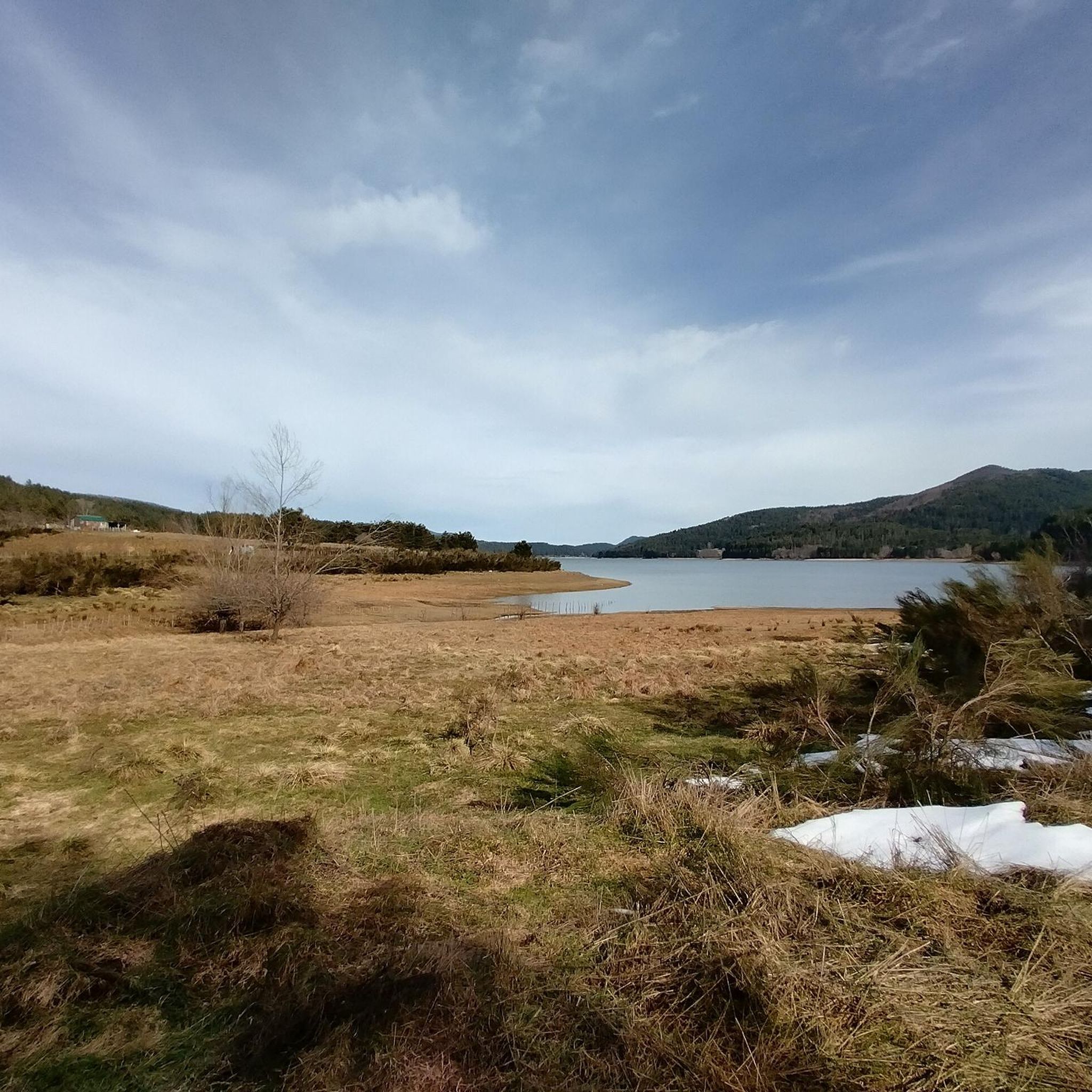
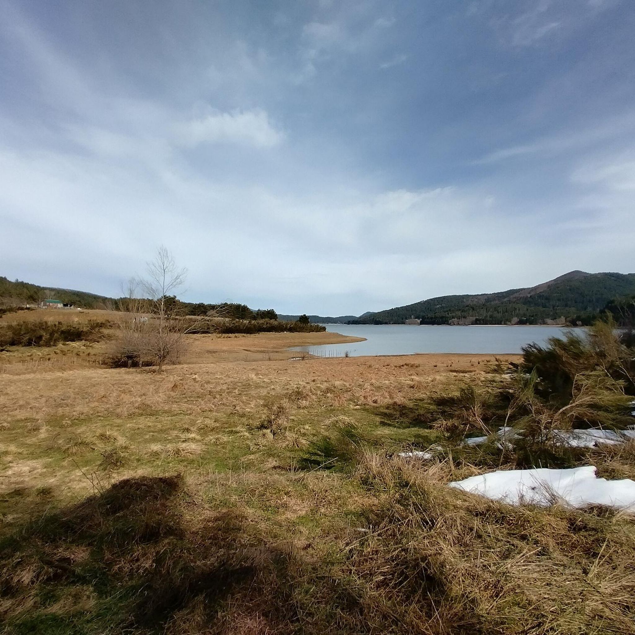
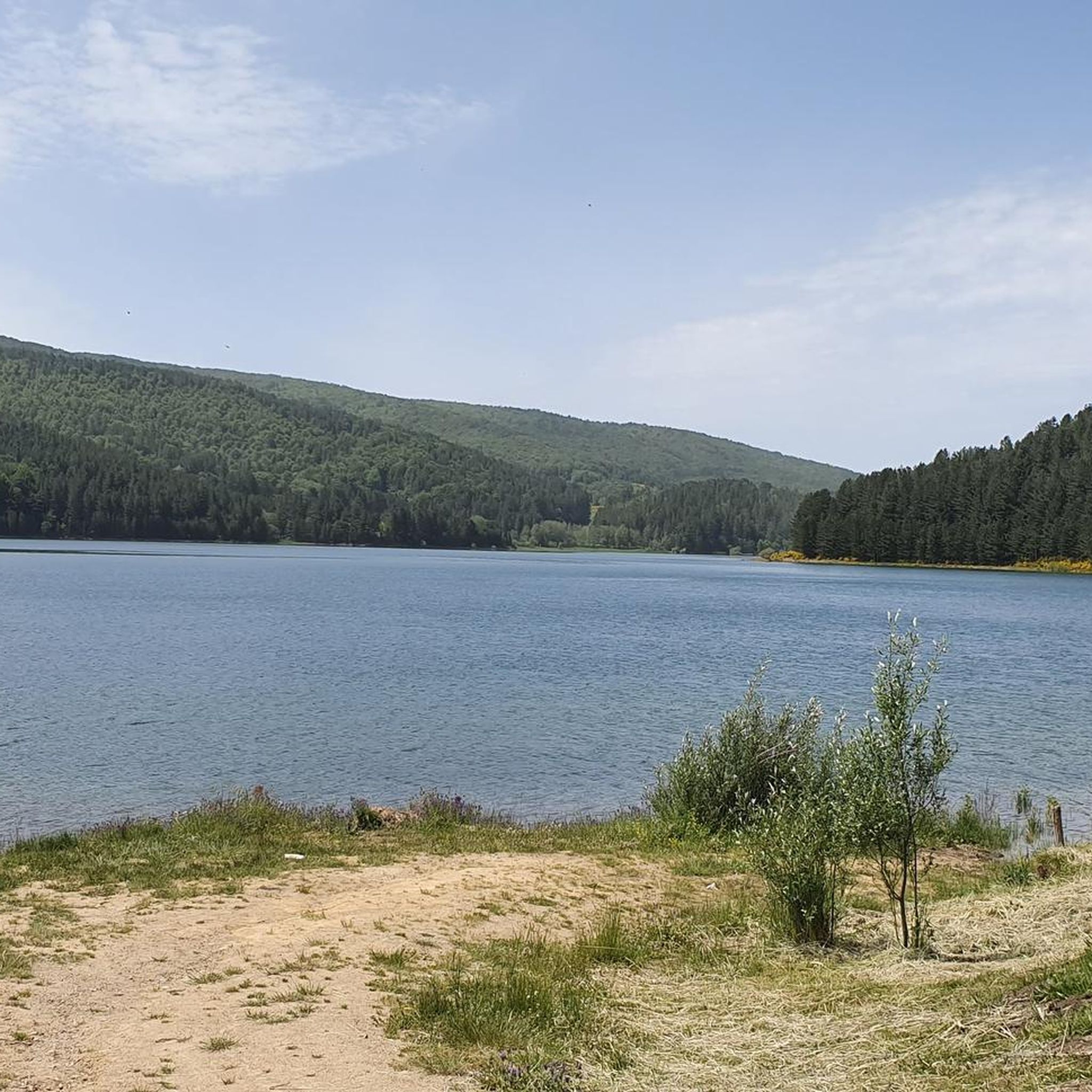
Hiking around Lake Arvo features trails winding through dense pine forests and open meadows, often reflecting in the calm waters of this artificial reservoir. The region is characterized by its mountainous terrain, with the lake itself spanning nearly 9 kilometers and overlooked by Mount Botte Donato. The landscape offers a mix of lakeside paths and more challenging routes through the surrounding Sila National Park.
Best hiking trails around Lake Arvo
- The most popular hiking route is Colli Perilli – National Park of Sila – ring tour, a 6.7 miles (10.8 km) trail that takes 4 hours 13 minutes to complete. This difficult route explores the diverse landscapes within Sila National Park.
- Another top favourite among local hikers is The Terrace on Lake Arvo – Lorica and Lake Arvo loop from Lorica, a moderate 4.3 miles (6.9 km) path. This loop offers views of Lake Arvo and the town of Lorica.
- Local hikers also love the Lorica and Lake Arvo – Lorica lakeside promenade loop from Sila National Park, a 5.3 miles (8.5 km) trail leading through the lakeside promenade, often completed in about 2 hours 41 minutes.
- Hiking around Lake Arvo is defined by dense pine forests, calm lake waters, and mountainous terrain. The network offers options for various ability levels, from accessible lakeside paths to more challenging ascents.
- The routes in Lake Arvo are highly rated by the komoot community with an average score of 4.5 stars from over 190 reviews. More than 670 hikers have used komoot to explore Lake Arvo's varied terrain.
Last updated: October 12, 2026
4.5
(58)
166
hikers
10.8km
04:13
450m
450m
Embark on the Colli Perilli ring tour, a challenging hike through the Sila National Park in Calabria, Italy. This popular route spans 6.7 miles (10.8 km) with a significant elevation gain of 1493 feet (455 metres), typically taking around 4 hours and 12 minutes to complete. You'll navigate varied terrain, from dense beech and conifer forests to unpaved, rocky sections, with steeper climbs leading to panoramic views of Lago Arvo and Lago Ampollino. The highlight is the 360-degree vista from Croce dei Laghi, offering sights of Monte Botte Donato and other peaks.
As a difficult hike, this trail demands a good level of fitness, sure-footedness, and sturdy hiking shoes. While the metadata suggests a duration of 4 hours and 12 minutes, plan for up to 5.5 hours to fully enjoy the experience and account for stops. The trail is part of a well-signposted network within the Sila National Park, maintained according to CAI conventions, which provides clear indications of difficulty and points of interest, helping you plan your journey effectively.
This route is highly regarded by hikers for its exceptional panoramic views, particularly from the Croce dei Laghi, often cited as one of the most scenic spots in the Sila region. The Sila National Park itself is known for being one of Italy's most heavily wooded areas and is celebrated for its remarkably pure air, often called the "lungs of the Mediterranean." You'll encounter ancient forests, including centuries-old larch pines, adding to the unique natural appeal of this challenging and rewarding adventure.
4.1
(17)
44
hikers
11.9km
03:43
280m
280m
Moderate hike. Good fitness required. Mostly accessible paths. Sure-footedness required.

4.2
(19)
41
hikers
6.88km
02:12
170m
170m
Moderate hike. Good fitness required. Mostly accessible paths. Sure-footedness required.
4.2
(9)
13
hikers
17.4km
06:30
600m
600m
Hard hike. Very good fitness required. Mostly accessible paths. Sure-footedness required.
4.0
(2)
10
hikers
10.9km
04:18
470m
470m
Moderate hike. Good fitness required. Mostly accessible paths. Sure-footedness required.
Get access to more routes and recommendations from other explorers.
Already have an account?
Our route recommendations are based on thousands of hikes, rides, and runs completed by other people on komoot.
Start today with a free account
Your next adventure awaits.

Other adventures around Lake Arvo

Tips from the Community

All-season protection... summer by the lake, autumn admiring the foliage in the surrounding woods, and winter skiing at Botte Donato...
0
0

View of Lake Arvo and Lorica
0
0

Starting point for many adventures, not only by bike
1
0

Tourist resort with its beautiful lake in the Sila national park. Not to be missed
0
0

Lorica comes alive especially in summer thanks to the many activities on the lake
2
0


Very pretty town, too bad everything was closed... mid-April!
3
0
Beautiful view of Lake Arvo, Lorica was practically uninhabited in mid-April!
4
0
Frequently Asked Questions
How many hiking trails are there around Lake Arvo?
Lake Arvo offers a diverse selection of over 35 hiking trails, catering to various skill levels. You'll find everything from easy lakeside strolls to more challenging ascents within the surrounding Sila National Park.
What kind of terrain can I expect on hikes around Lake Arvo?
The terrain around Lake Arvo is quite varied. You'll encounter dense pine forests, open meadows, and mountainous sections. Many trails wind along the lake's calm waters, offering picturesque reflections, while others climb towards viewpoints like Mount Botte Donato. The region provides a mix of accessible paths and more demanding routes.
Are there any family-friendly hiking options near Lake Arvo?
Yes, Lake Arvo has several options suitable for families. The area features easy, accessible paths, particularly along the lakeside. A good example is the Lorica lakeside promenade loop, which is a moderate 8.5 km trail that can be completed in under 3 hours, offering pleasant views without significant elevation gain.
Are there any circular hiking routes around Lake Arvo?
Absolutely. Many trails around Lake Arvo are designed as loops, allowing you to start and end at the same point. The entire perimeter of Lake Arvo, spanning approximately 24 km, is traversable on foot. Specific examples include the Colli Perilli – National Park of Sila – ring tour and The Terrace on Lake Arvo – Lorica and Lake Arvo loop from Lorica.
What are some notable natural features or landmarks to look out for while hiking?
While hiking around Lake Arvo, you'll be surrounded by stunning natural beauty. Key features include the vast artificial lake itself, dense larch pine forests, and meadows that bloom with wildflowers. Keep an eye out for the unique island in the center of the lake, formed from a mountain. Mount Botte Donato also provides a dramatic backdrop and offers impressive views.
What is the best time of year to go hiking in Lake Arvo?
Lake Arvo is beautiful year-round, but the best time for hiking generally depends on your preference. Spring and summer offer lush greenery and wildflowers, ideal for enjoying the full vibrancy of the landscape. Autumn brings stunning fall colors to the pine forests. Even winter can be picturesque, with the lake often reflecting snow-covered trees, though some trails may be more challenging due to snow.
Where can I find parking for hiking trails around Lake Arvo?
The town of Lorica, situated on the lake's shores, serves as a key base for tourists and offers various facilities, including parking. Given its popularity as a ski resort and outdoor activity hub, you can typically find parking in and around Lorica and at common trailheads. It's always advisable to check specific starting points for designated parking areas.
Is public transport available to reach the hiking areas around Lake Arvo?
While specific public transport routes directly to every trailhead might be limited, the town of Lorica is a central hub in the Lake Arvo area. It's best to research local bus services or private transfer options connecting to Lorica from larger towns in Calabria. Having a car often provides the most flexibility for accessing various hiking starting points around the lake.
What other activities can I do besides hiking at Lake Arvo?
Lake Arvo is a hub for numerous outdoor activities beyond hiking. You can enjoy various water sports like canoeing, sailing, stand-up paddleboarding (SUP), and hydro bikes. Cycling and mountain biking are popular on the area's trails, with sections of the Calabria Parks Cycle Route passing through. For adventure, there's a 600-meter zip-line across the lake and the Silavventura Park with aerial trails. Horse riding is also an option.
Are there places to eat or stay near the hiking trails?
Yes, the town of Lorica, located directly on the shores of Lake Arvo, is a well-equipped tourist center. It offers various facilities, including accommodation options like hotels and guesthouses, as well as restaurants and cafes where you can refuel after your hike. You'll find amenities to suit different needs within easy reach of many trails.
What do other hikers say about the trails in Lake Arvo?
The hiking trails around Lake Arvo are highly regarded by the komoot community, with an average score of 4.5 stars from over 190 reviews. Hikers often praise the diverse landscapes, from dense pine forests to serene lake views, and appreciate the variety of routes available for different fitness levels.
Are there any winter hiking opportunities around Lake Arvo?
Yes, Lake Arvo offers unique winter hiking experiences. The region, particularly around Lorica, is also a significant ski resort. During winter, the landscape becomes particularly striking, with snow-covered forests and the lake reflecting the serene surroundings. While some trails might require appropriate gear and caution due to snow, the area can be very picturesque for winter walks.
How long do hikes typically take around Lake Arvo?
Hike durations around Lake Arvo vary significantly depending on the trail and your pace. You can find shorter, easier walks like the Lorica lakeside promenade loop, which takes about 2 hours 41 minutes for 8.5 km. More challenging and longer routes, such as the Colli Perilli – National Park of Sila – ring tour (10.8 km), can take over 4 hours, and some difficult loops extend to 17-18 km, requiring much longer.

Get inspired with the komoot mobile app


Explore more
Browse the best Hikes in other regions.
