The best MTB trails around Bussnang
4.5
(907)
5,386
riders
474
rides
Mountain biking around Bussnang offers a diverse landscape for riders. The region features a mix of riverside paths along the Thur, rolling hills, and elevated sections providing scenic viewpoints. Trails often traverse through agricultural land and connect various hamlets and historical sites.
Best mountain bike trails around Bussnang
- The most popular mountain bike trail is Thur Riverside Trail – Huserfelsen Pass loop from Märwil, a 36.0 miles (58.0 km) trail that takes 4 hours 35 minutes to complete. This…
Last updated: July 5, 2026
5.0
(2)
13
riders
58.2km
04:36
660m
660m
Moderate mountain bike ride. Good fitness required. Advanced riding skills necessary.
5.0
(3)
17
riders
33.6km
02:51
480m
480m
Moderate mountain bike ride. Good fitness required. Suitable for all skill levels.

Sign up for free
5.0
(1)
4
riders
28.6km
02:14
350m
360m
Moderate mountain bike ride. Good fitness required. Suitable for all skill levels.
2.0
(1)
4
riders
29.3km
02:30
480m
490m
Hard mountain bike ride. Good fitness required. Advanced riding skills necessary. Some portions of the route may require you to push your bike.
5
riders
26.7km
02:13
460m
460m
Moderate mountain bike ride. Good fitness required. Advanced riding skills necessary.
Get access to more routes and recommendations from other explorers.
Sign up for free
Already have an account?
Our route recommendations are based on thousands of hikes, rides, and runs completed by other people on komoot.
Start today with a free account
Your next adventure awaits.
Login or Signup
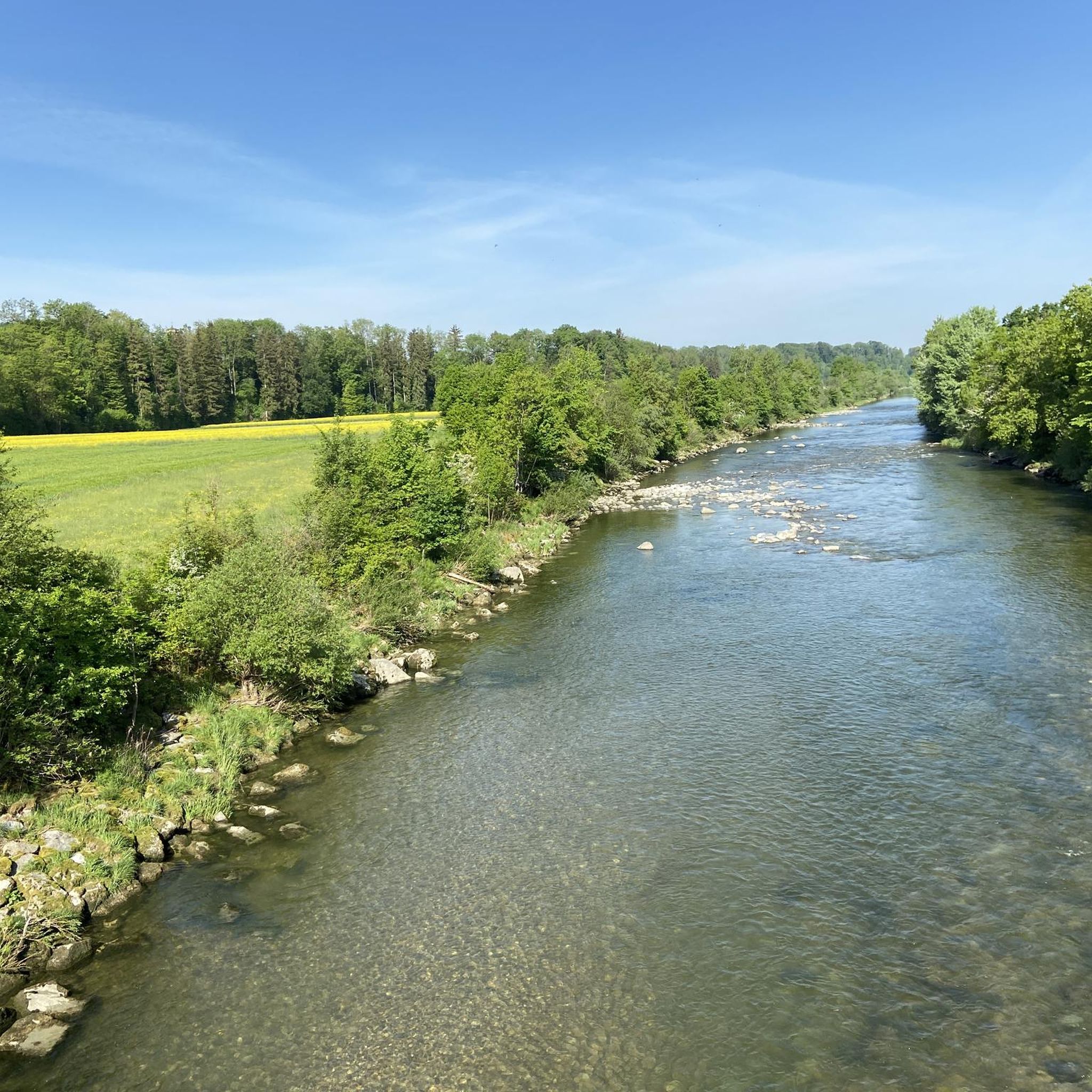
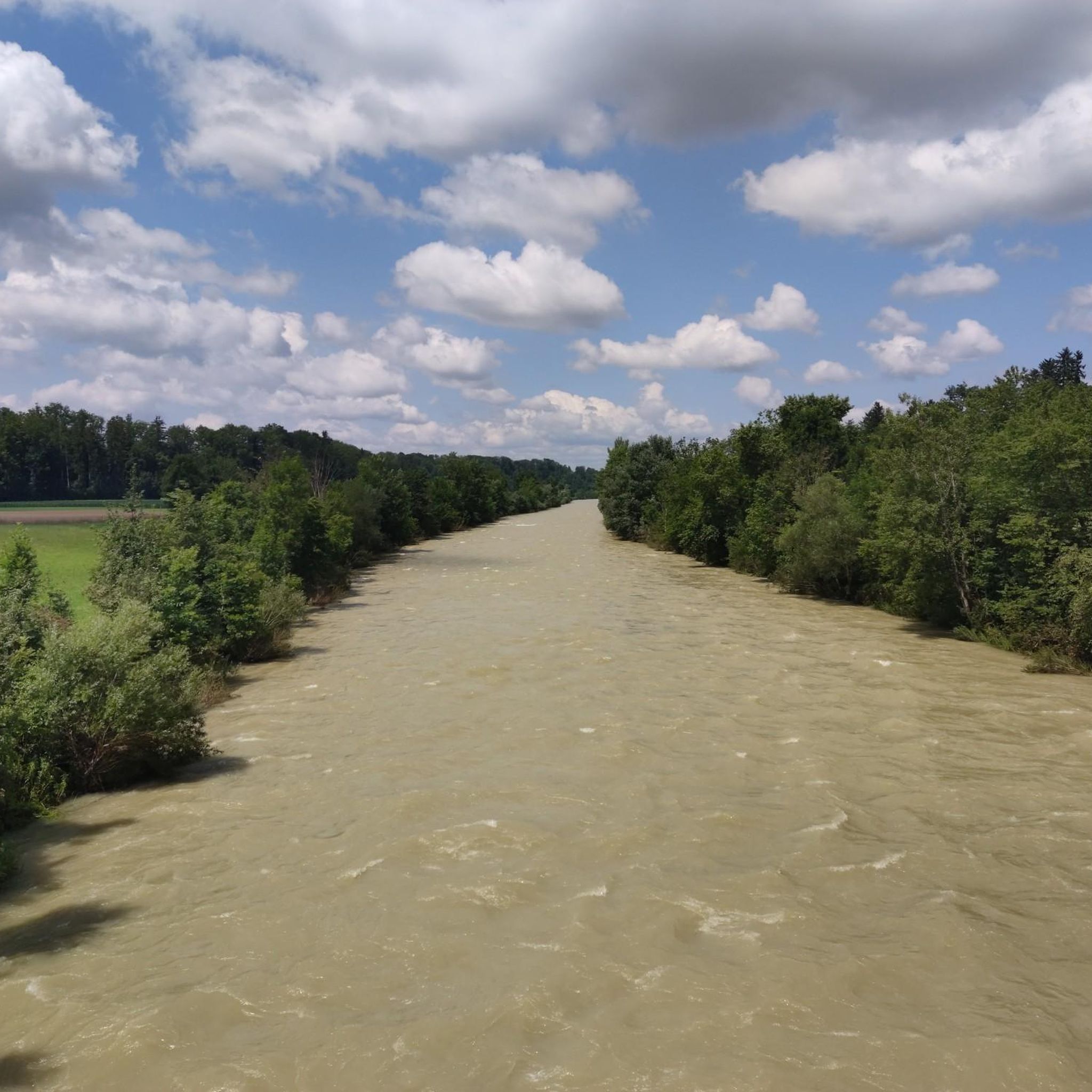
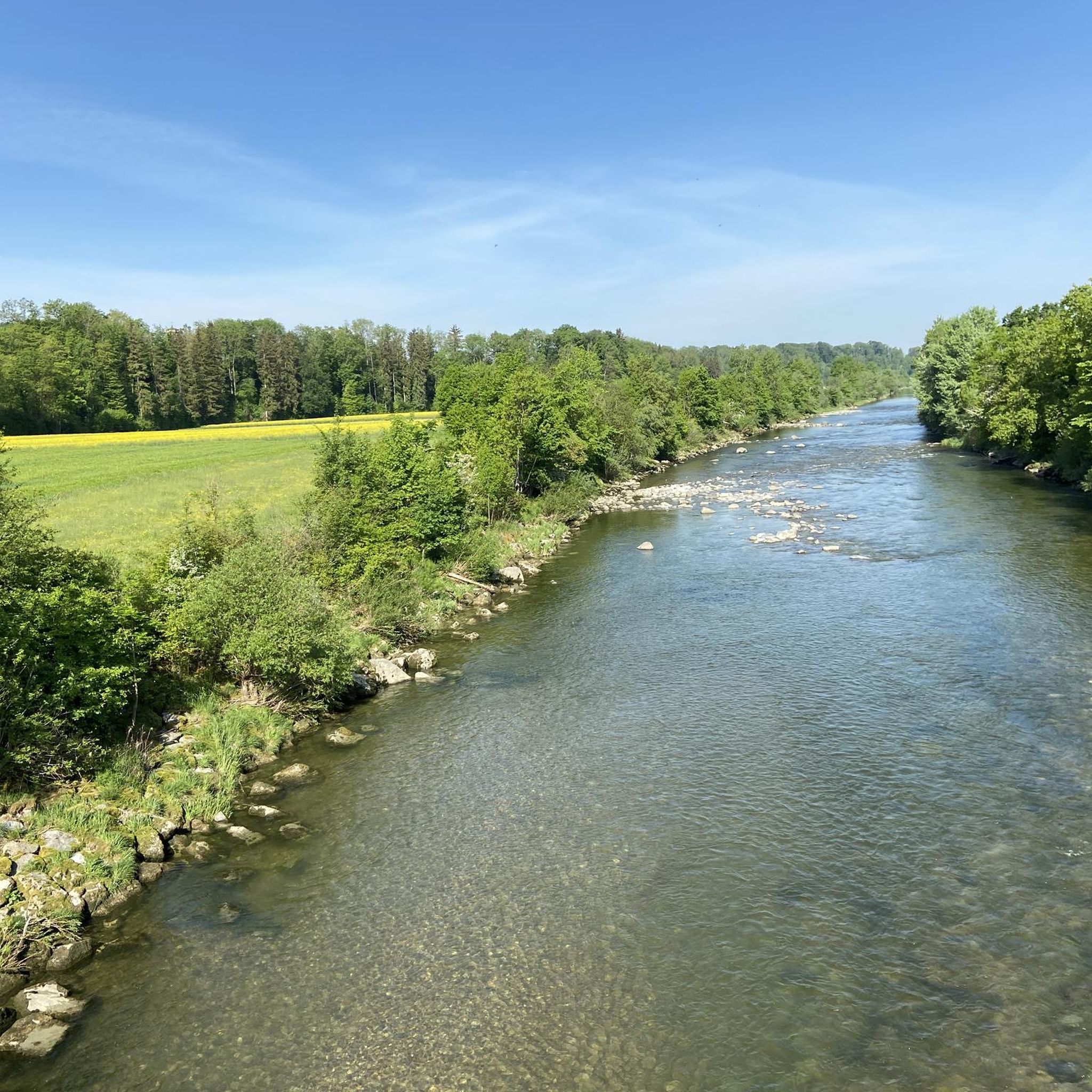
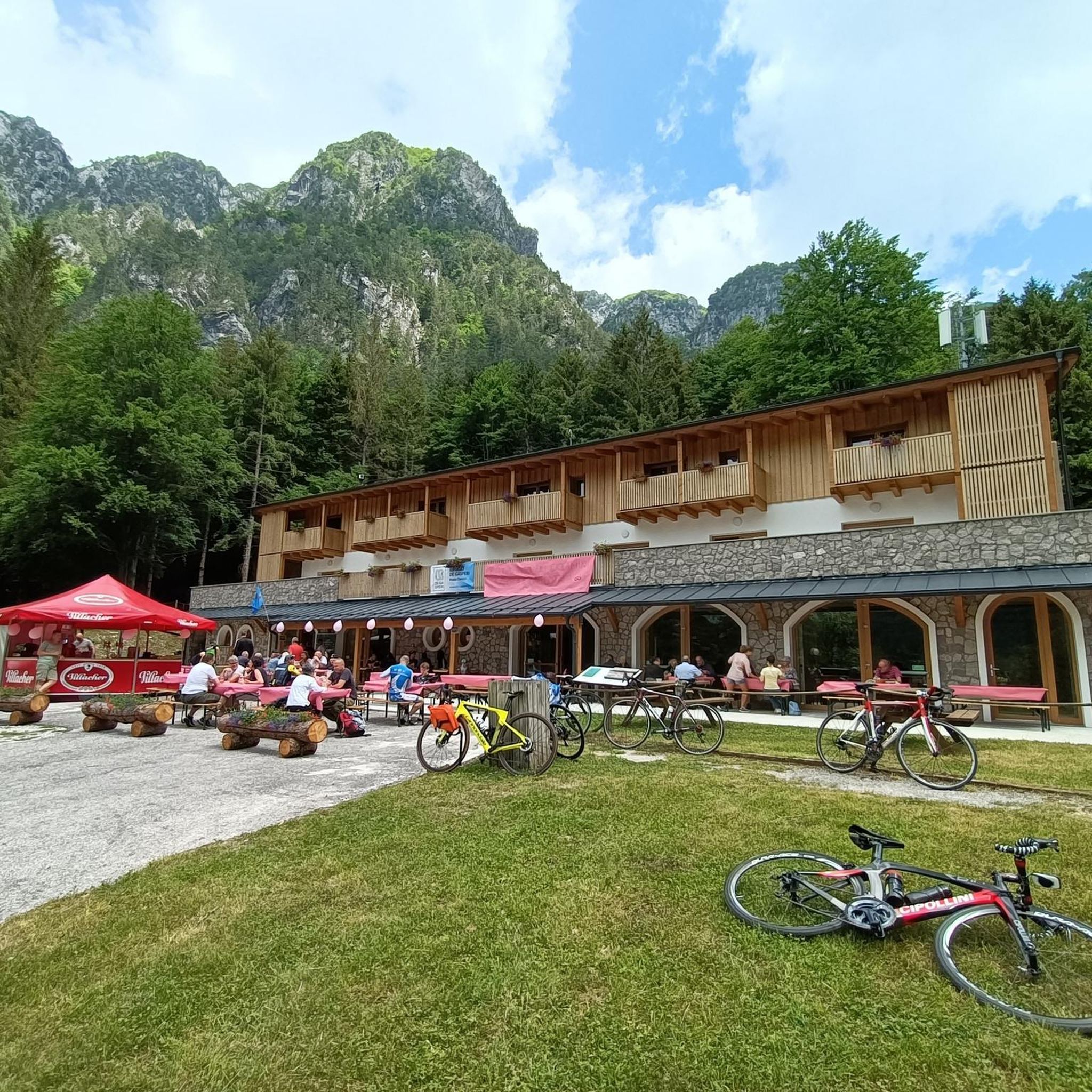
Tips from the Community

In the Netherlands, that could actually pass as a passport. Someone has gone way overboard here.
0
0

Something new is being created here
0
0

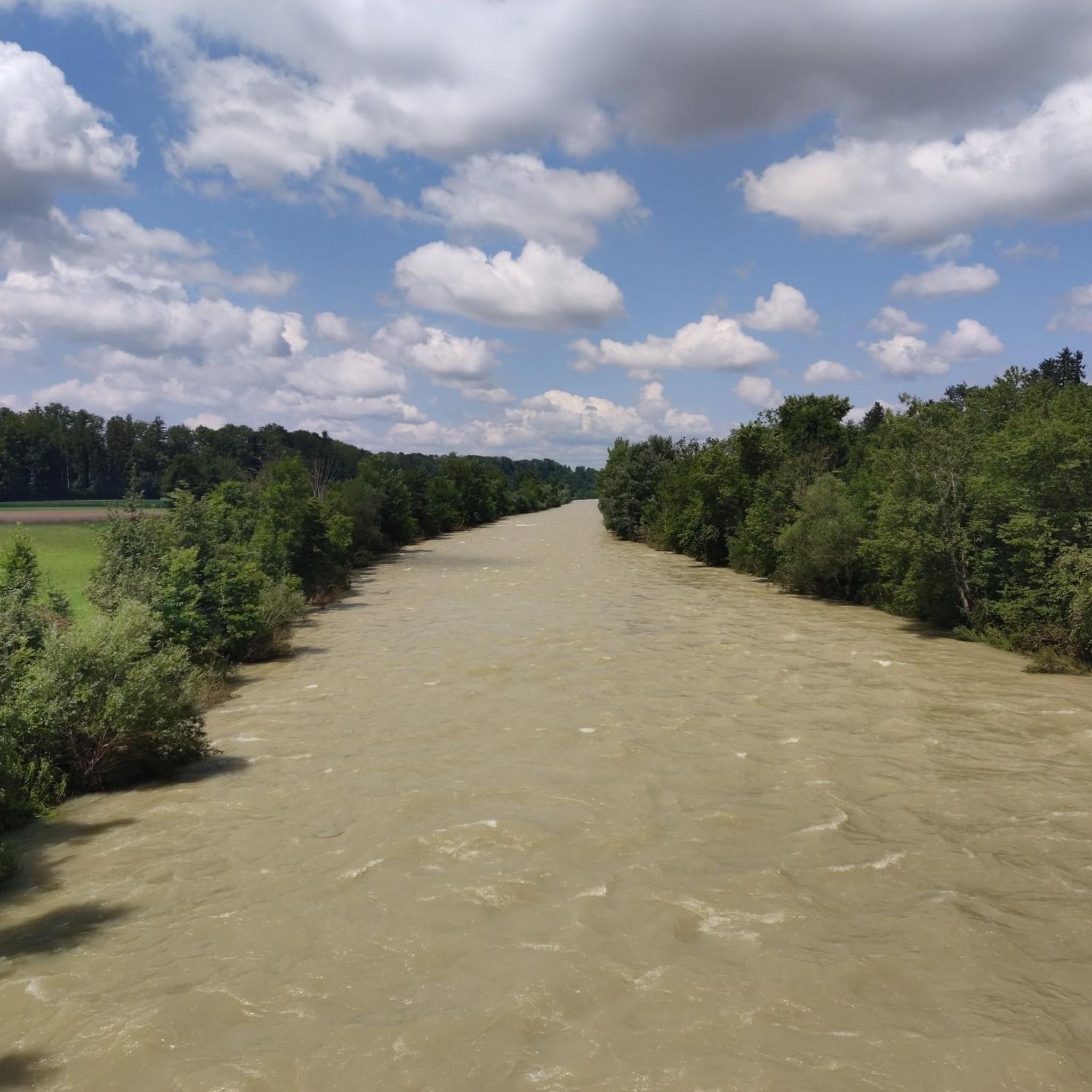
If you are cycling along the Thur river on gravel, you will have to drive under this bridge.
1
0

Excellent panoramic view of Wil and the surrounding communities as well as the mountains from the Alpstein to the Glarus Alps.
0
0
SORRY, that's the Hofberg Tower! The Peter and Paul Tower stands on the hill between Wittenbach and St. Gallen and is an antenna tower.
0
0
Steep, quite narrow, and winding downhill trail S3 (especially the lower section; it's a bit easier at the top). Largely unrideable for regular bikers; pushing is possible, but not enjoyable.
1
0
I noticed it more because of the trail ride. Please, dear biking community, respect the priority of people who use this barbecue area for its intended purpose!
0
1
Moderate climb, which rewards with great views.
0
0
Frequently Asked Questions
How many mountain bike trails are available around Bussnang?
There are over 500 mountain bike trails recorded on komoot for the Bussnang region, offering a wide variety of options for different skill levels and preferences.
What is the general difficulty level of mountain bike trails in Bussnang?
The trails around Bussnang cater to a broad range of riders. You'll find approximately 120 easy trails, over 360 moderate routes, and about 30 more challenging options for experienced mountain bikers.
Are there family-friendly mountain bike routes in Bussnang?
Yes, Bussnang offers several family-friendly mountain bike routes, particularly those that follow the Thur river or traverse gentler agricultural paths. These routes often have less elevation gain and are suitable for riders of varying ages and abilities.
What do other mountain bikers enjoy the most about mountain biking in Bussnang?
The area is highly rated by the komoot community, with an average score of 4.4 stars from over 800 reviews. Riders often praise the diverse landscape, including riverside paths, rolling hills, and scenic viewpoints, as well as the well-maintained network of trails connecting various hamlets and historical sites.
Are there circular mountain bike trails available in Bussnang?
Many of the mountain bike trails around Bussnang are designed as circular routes, allowing you to start and finish at the same point. An example is the challenging SF Aktuell Hut – Anwil Castle Ruins loop from Schönholzerswilen, which offers a rewarding ride.
What kind of scenic viewpoints can I expect on mountain bike routes in Bussnang?
Bussnang's rolling hills and elevated sections provide numerous scenic viewpoints. You can find routes that offer panoramic views of the surrounding landscape, including the Thur valley and distant Alps. For instance, the View of Wuppenau and the Alps – Waldwies hamlet loop from Märwil provides stunning vistas.
Are there any interesting landmarks or attractions to see along the mountain bike trails?
Yes, the region is dotted with interesting sights. You might encounter historical sites, charming hamlets, and natural features. Highlights include the Nollen viewpoint or the Evangelical Church Hugelshofen. Some trails also pass by unique natural formations or offer views of distant peaks like Nieselberg.
What is the best time of year for mountain biking in Bussnang?
The best time for mountain biking in Bussnang is typically from spring through autumn (April to October). During these months, the weather is generally mild, and the trails are dry and well-maintained. Always check local weather forecasts before heading out.
Are there mountain bike trails in Bussnang that are accessible by public transport?
Many routes in the Bussnang area can be accessed via public transport, particularly those starting or ending near train stations or bus stops in the larger villages. Planning your route with komoot allows you to easily identify suitable starting points.
Is parking available at the trailheads in Bussnang?
Yes, parking is generally available in and around the villages and at common starting points for trails in Bussnang. It's advisable to check specific route descriptions or local signage for designated parking areas.
Are there options for advanced mountain bikers seeking a challenge?
Absolutely. While Bussnang has many moderate trails, there are also about 30 difficult routes designed for experienced riders. These trails often feature steeper climbs, technical descents, and more rugged terrain, such as the Ave Maria Chapel on Hohen Weg – Stählibuck Tower loop from Oppikon which includes significant elevation.
Can I find places to stop for refreshments or food along the mountain bike trails?
Yes, many routes pass through or near villages and hamlets where you can find cafes, restaurants, or local shops to refuel. For example, the Restaurant Nollen With Panoramic View is a popular spot that can be incorporated into a ride.
What are the winter conditions like for mountain biking in Bussnang?
Winter mountain biking in Bussnang can be challenging due to snow and ice, especially on higher elevations or shaded trails. Many trails may become impassable or require specialized equipment. It's best to check local conditions and forecasts before planning a winter ride.
Most popular attractions around Bussnang

Get inspired with the komoot mobile app


Explore more
Browse the best MTB trails in other regions.
