The best walks and hikes around Stagno di Tortoli
4.4
(1461)
6,684
hikers
103
hikes
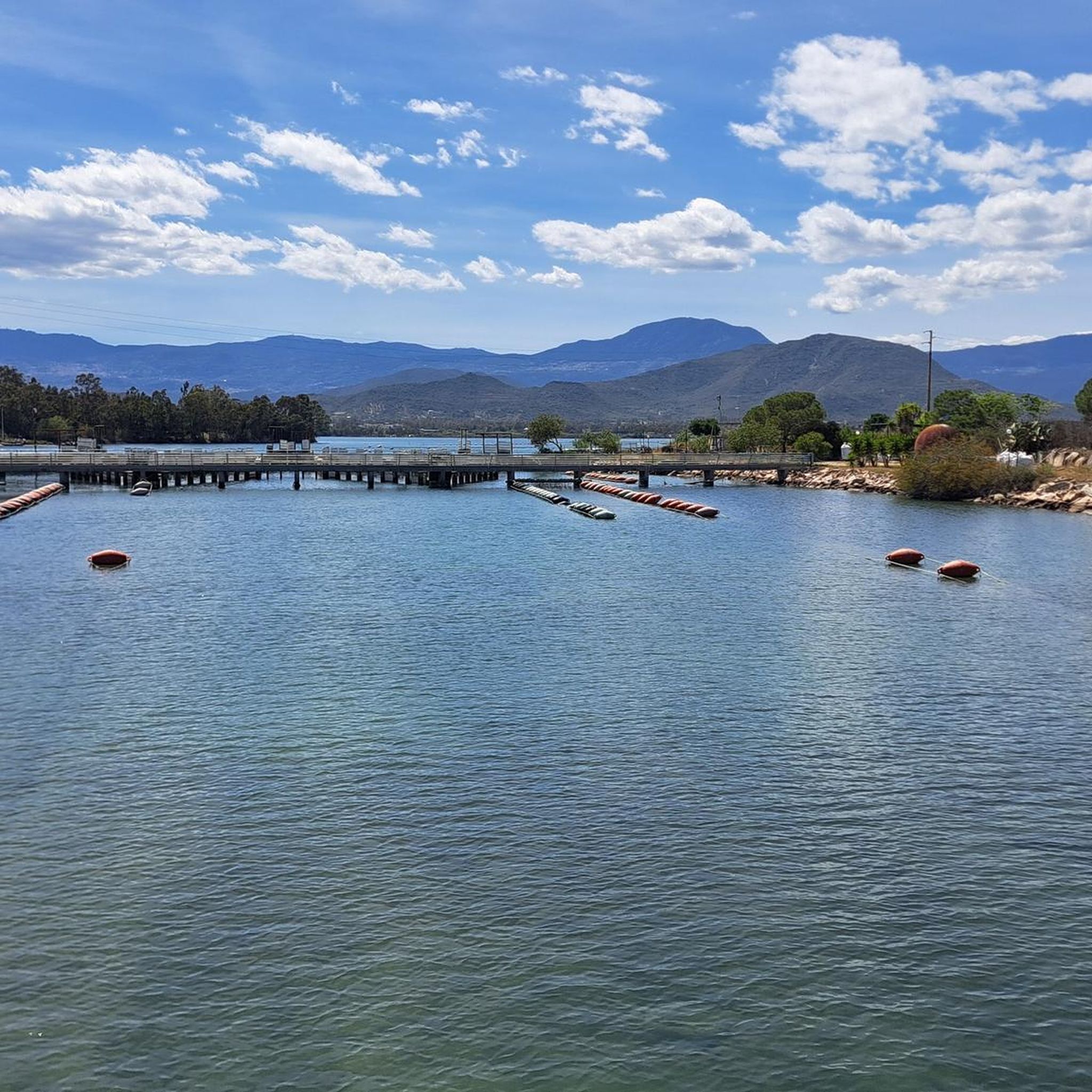
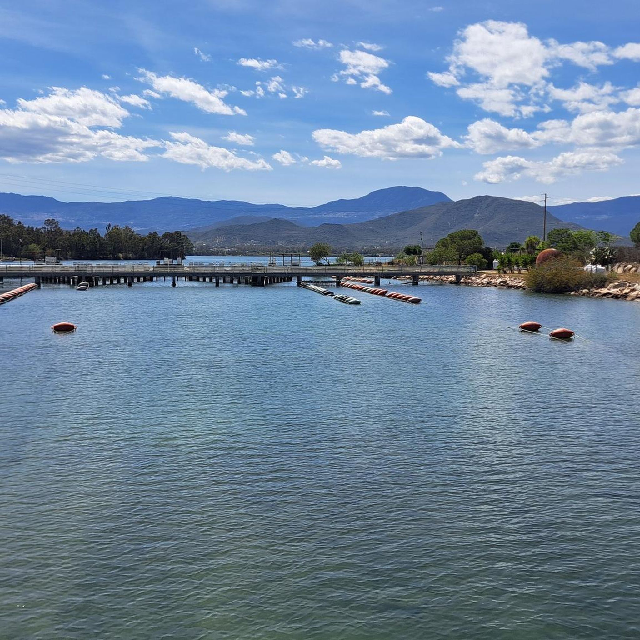
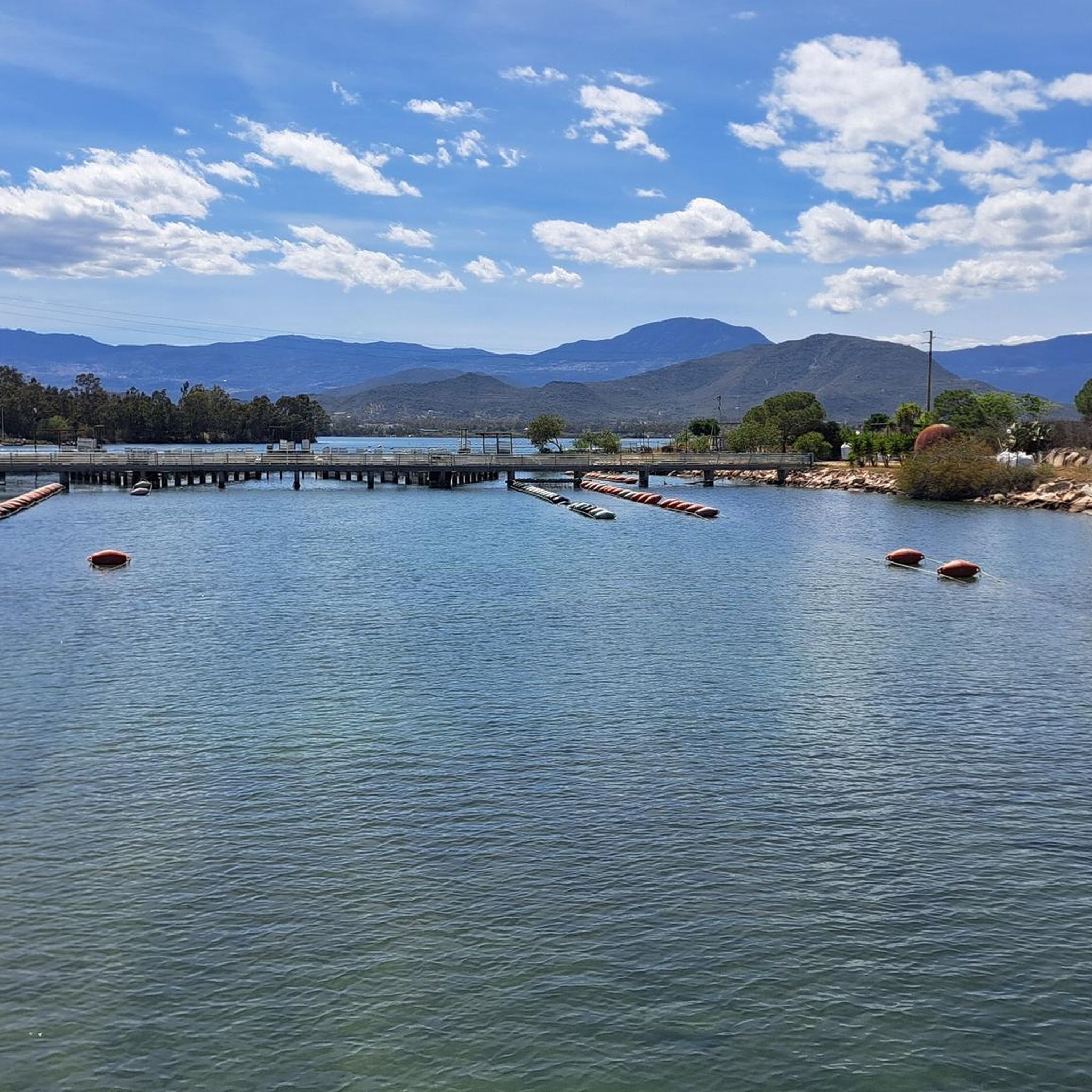
Hiking around Stagno di Tortolì offers diverse landscapes, blending coastal scenery with lagoon views and historical landmarks. The region features a network of trails that traverse the Stagno di Tortolì, connect to the nearby coastline, and pass distinctive natural features like the Arbatax Red Rocks. Paths range from flat, easy strolls around the lagoon to more varied terrain incorporating historical towers and coves. This area provides access to both gentle walks and more challenging routes further inland.
Best hiking trails around Stagno di Tortolì
- The most popular hiking route is Pedestrian and Cyclist Bridge – Arbatax Tower loop from Arbatassa/Arbatax, a 10.3 miles (16.5 km) trail that takes 4 hours 13 minutes to complete. This moderate route offers views of the lagoon and the historic Arbatax Tower.
- Another top favourite among local hikers is Porto Frailis Beach – Arbatax Tower loop from Tortolì, a moderate 8.1 miles (13.1 km) path. This route features coastal scenery around Porto Frailis Beach and includes the Arbatax Tower.
- Local hikers also love the Arbatax Tower – Moresca Cove loop from Zunturinu, a 6.2 miles (9.9 km) trail leading through coastal areas and Moresca Cove, often completed in about 2 hours 33 minutes.
- Hiking around Stagno di Tortolì is defined by coastal paths, lagoon-side trails, and routes featuring the Arbatax Red Rocks and historical towers. The network offers options for easy, moderate, and difficult ability levels.
- The routes in Stagno di Tortolì are highly rated by the komoot community with an average score of 4.4 stars from over 1,500 reviews. More than 7,400 hikers have used komoot to explore Stagno di Tortolì's varied terrain.
Last updated: June 25, 2026
2.0
(2)
10
hikers
Moderate hike. Good fitness required. Easily-accessible paths. Suitable for all skill levels.
7
hikers
Easy hike. Great for any fitness level. Easily-accessible paths. Suitable for all skill levels.

Sign up for free
4.4
(8)
49
hikers
14.8km
03:47
50m
50m
Moderate hike. Good fitness required. Easily-accessible paths. Suitable for all skill levels.
1.0
(2)
9
hikers
6.76km
01:46
50m
50m
Easy hike. Great for any fitness level. Easily-accessible paths. Suitable for all skill levels.
4.7
(3)
11
hikers
13.2km
03:27
100m
100m
Moderate hike. Good fitness required. Easily-accessible paths. Suitable for all skill levels.
Get access to more routes and recommendations from other explorers.
Sign up for free
Already have an account?
Our route recommendations are based on thousands of hikes, rides, and runs completed by other people on komoot.
Start today with a free account
Your next adventure awaits.
Login or Signup

Tips from the Community

Arbatax station is a railway station located in the hamlet of the same name in the municipality of Tortolì, the terminus of the railway to Mandas, used exclusively for the tourist services of the Trenino Verde.
2
0

Mural in the new and recommendable pedestrian zone of Corso Umberto
0
0

Clear water, great sand, very quiet.
0
0
One of the countless murals in Sardinia. Very beautiful.
1
1
Beautifully designed church.
0
1
Train station and starting point for tours with the green train.
0
1

From here on, the route around the harbor is not at all inviting, industrial zone, no shade, lots of rubbish everywhere.
0
0
Frequently Asked Questions
How many hiking trails are available around Stagno di Tortolì?
There are over 100 hiking trails around Stagno di Tortolì, offering a diverse range of experiences. These include 49 easy routes, 45 moderate routes, and 10 more challenging options.
What kind of terrain can I expect on the hiking trails around Stagno di Tortolì?
The terrain around Stagno di Tortolì is quite varied. You can expect coastal paths, trails alongside the lagoon, and routes that feature distinctive natural formations like the Arbatax Red Rocks. Some paths are flat and easy, while others incorporate historical towers and coves, offering more varied ground.
What natural landmarks or attractions can I see while hiking?
While hiking, you can encounter several notable natural landmarks. The striking Arbatax Red Rocks are a highlight, offering dramatic views next to the harbor. You can also explore beautiful spots like Porto Frailis Beach and the transparent waters of Moresca Cove. Further afield, the region provides access to wonders like Pedra Longa, Grotta del Fico, and the impressive Gorropu Canyon.
Are there any historical sites along the trails?
Yes, several historical sites are integrated into the hiking routes. The Arbatax Tower and the San Gemiliano Tower are prominent historical fortifications that offer significant viewpoints and are often part of the trails. For example, the Pedestrian and Cyclist Bridge – Arbatax Tower loop includes the historic Arbatax Tower.
Are there hiking trails suitable for families with children?
Yes, Stagno di Tortolì offers many easy hikes suitable for families. Nearly half of the trails (49 out of 104) are classified as easy, often featuring flat paths around the lagoon or along the coast. These routes are generally shorter and have minimal elevation gain, making them ideal for all ages.
Can I bring my dog on the hiking trails?
Many trails around Stagno di Tortolì are suitable for dogs, especially the coastal and lagoon-side paths. However, it's always recommended to keep your dog on a leash, particularly in nature reserves or areas with wildlife, and to check specific trail regulations before you go.
Are there any circular hiking routes around Stagno di Tortolì?
Yes, many of the popular routes around Stagno di Tortolì are circular, allowing you to start and end at the same point. Examples include the Pedestrian and Cyclist Bridge – Arbatax Tower loop and the Arbatax Tower – Moresca Cove loop.
What is the best time of year to go hiking in Stagno di Tortolì?
The best time to hike in Stagno di Tortolì is generally during the spring (April-May) and autumn (September-October) months. The weather is milder and more pleasant for outdoor activities, avoiding the intense heat of summer and potential winter rains. These seasons also offer good opportunities for bird watching around the lagoon.
Are there opportunities for wildlife spotting?
Yes, the unspoiled habitats around Stagno di Tortolì, particularly in areas like the secular oak forests and near peaks such as Bruncu Matzei, are home to various animal species. You might spot royal eagles and mouflon, especially during quieter times of the year.
Is parking available near the trailheads?
Parking is generally available in the towns and villages surrounding Stagno di Tortolì, such as Tortolì and Arbatax, which serve as common starting points for many trails. Specific parking details can often be found on individual route descriptions.
How can I reach the hiking trails using public transport?
Public transport options, primarily local buses, connect the main towns like Tortolì and Arbatax. From these hubs, many trailheads are accessible, particularly those around the lagoon and coastal areas. It's advisable to check local bus schedules in advance for specific routes and timings.
Are there any waterfalls to see in the region?
While the immediate area around Stagno di Tortolì is more focused on coastal and lagoon scenery, the wider region of Sardinia offers natural wonders like the Lequarci waterfalls, which are within reach for those looking to explore further inland.
What do other hikers say about the trails in Stagno di Tortolì?
The trails in Stagno di Tortolì are highly rated by the komoot community, with an average score of 4.4 stars from over 1,500 reviews. Hikers often praise the diverse landscapes, blending coastal beauty with lagoon views, and the well-maintained paths that cater to various fitness levels.
Most popular routes around Stagno di Tortoli

Get inspired with the komoot mobile app


Explore more
Browse the best Hikes in other regions.
