The best road cycling routes around Lac de Kruth-Wildenstein
4.6
(564)
27,731
riders
122
rides
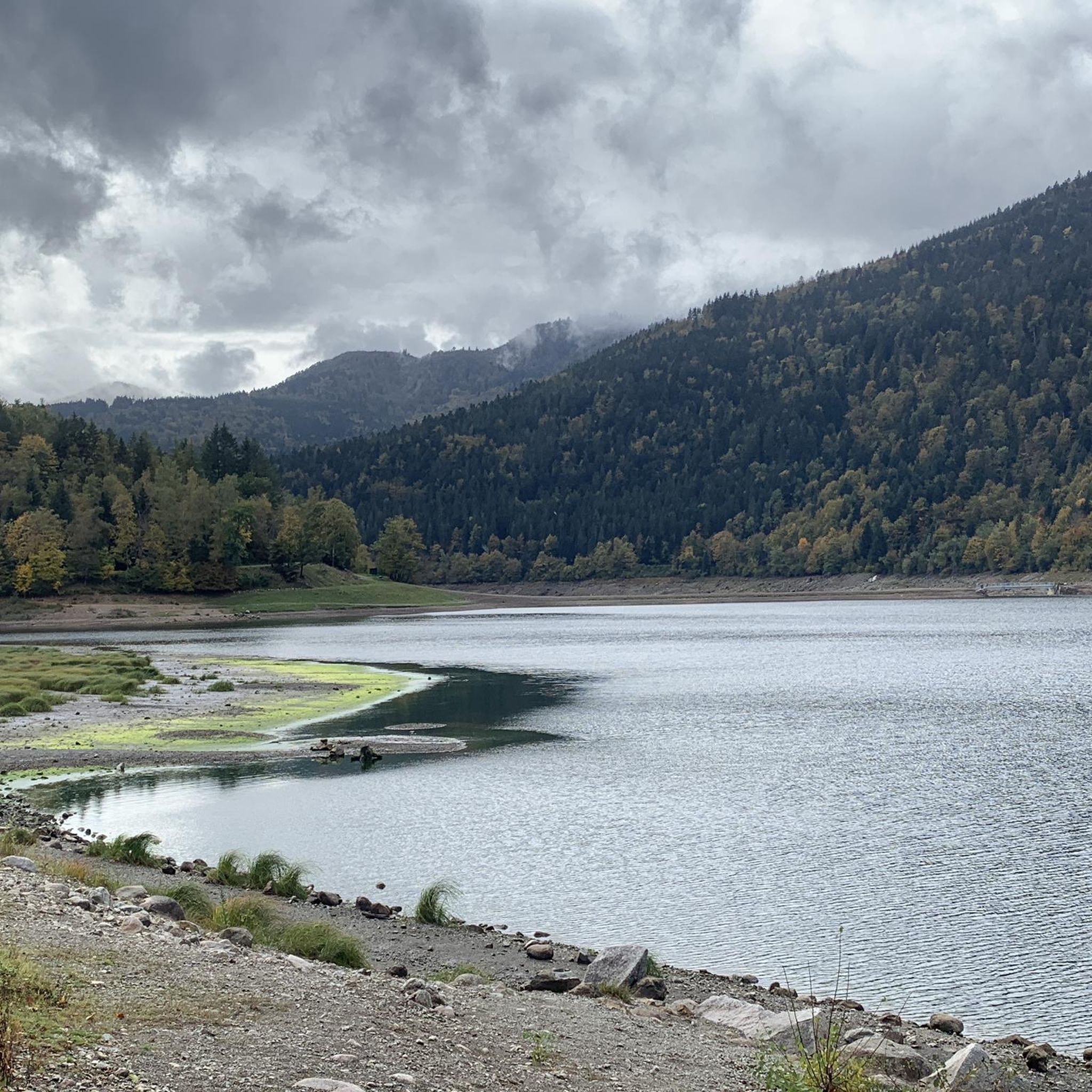
Road cycling routes around Lac de Kruth-Wildenstein navigate a landscape characterized by the lake itself, surrounded by forested hills and valleys of the Vosges mountains. The region features varied terrain, from lakeside paths to ascents towards mountain passes. Road cyclists can expect a mix of rolling hills and more challenging climbs, with routes often following river valleys and winding through dense woodlands.
Best road cycling routes around Lac de Kruth-Wildenstein
- The most popular road cycling route is Oderen Pass –…
Last updated: October 9, 2026
4.3
(3)
130
riders
Moderate road ride. Good fitness required. Some segments of this route may be unpaved and difficult to ride.
38
riders
11.6km
00:32
120m
120m
Moderate road ride. Great for any fitness level. Some segments of this route may be unpaved and difficult to ride.

4.4
(5)
65
riders
Moderate road ride. Good fitness required. Mostly well-paved surfaces and easy to ride.
5.0
(1)
31
riders
43.0km
02:32
1,040m
1,040m
Hard road ride. Very good fitness required. Some segments of this route may be unpaved and difficult to ride.
4
riders
11.3km
00:33
70m
70m
Easy road ride. Great for any fitness level. Mostly well-paved surfaces and easy to ride.
Get access to more routes and recommendations from other explorers.
Already have an account?
Our route recommendations are based on thousands of hikes, rides, and runs completed by other people on komoot.
Start today with a free account
Your next adventure awaits.
Popular around Lac de Kruth-Wildenstein
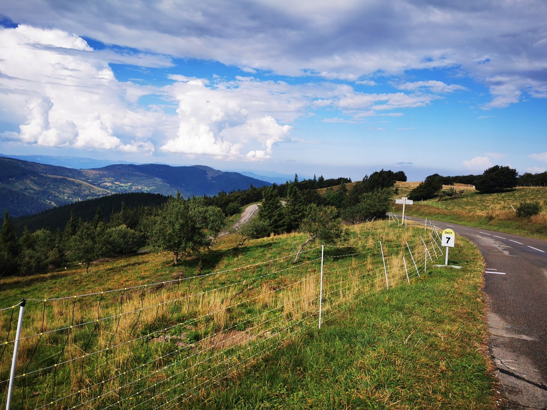
Climbing the Vosges in France — Les 3 Ballons
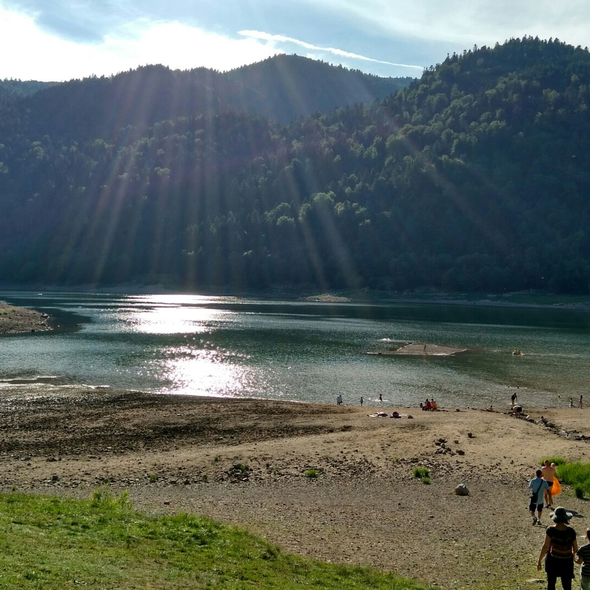
Hiking around Lac de Kruth-Wildenstein
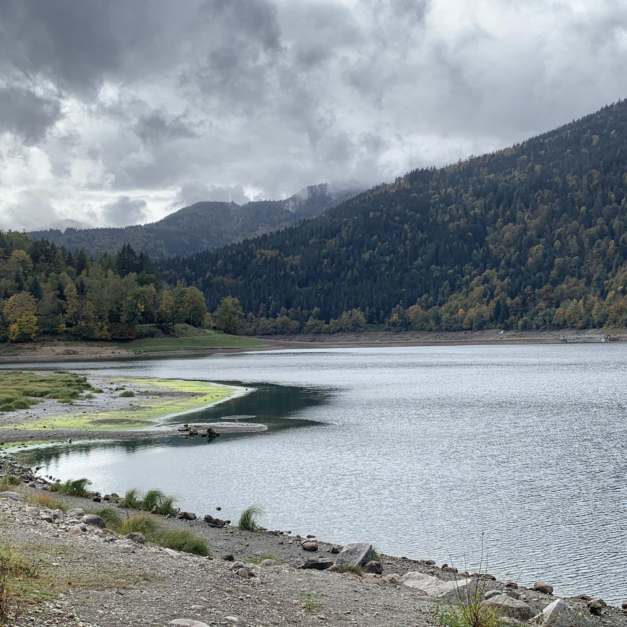
Cycling around Lac de Kruth-Wildenstein
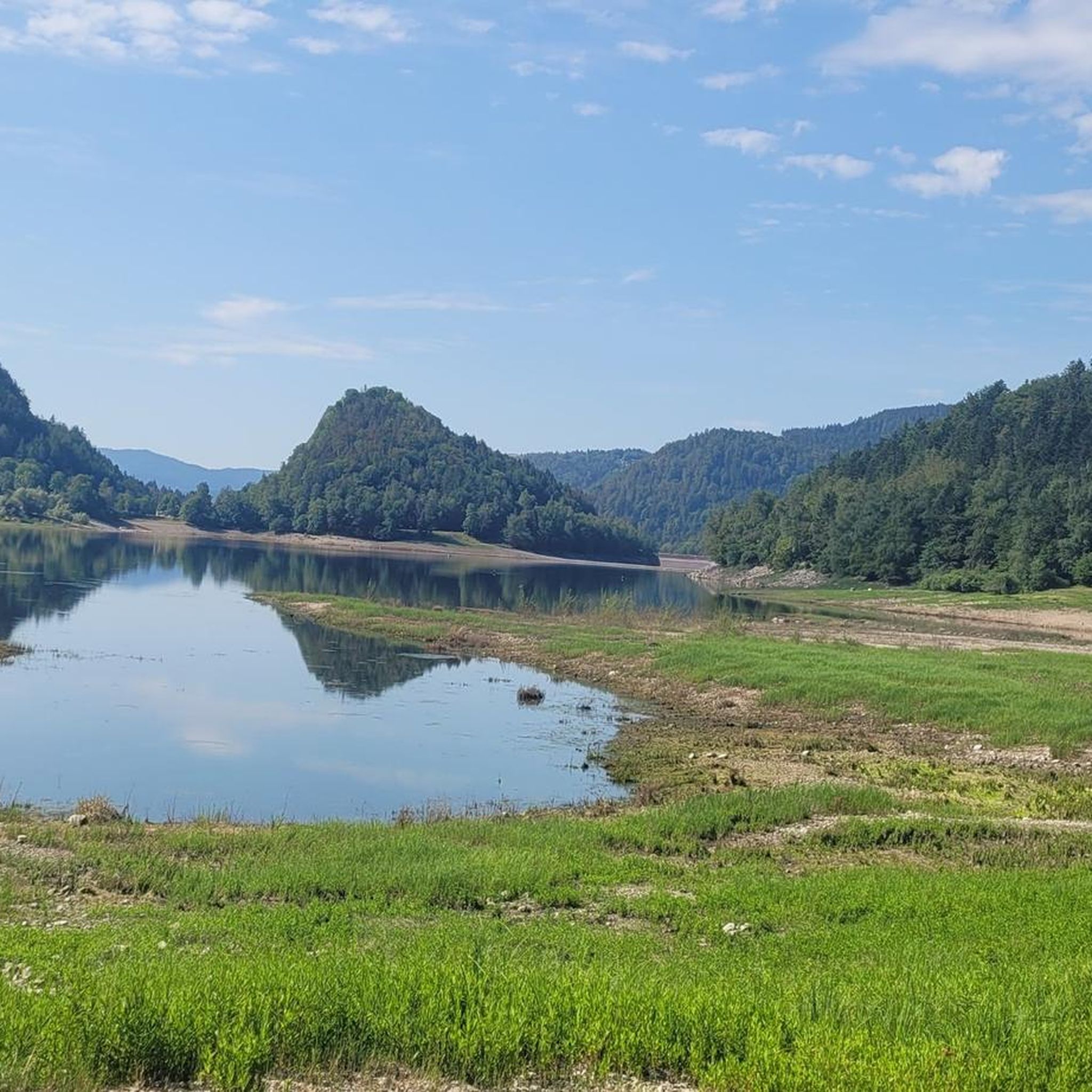
MTB Trails around Lac de Kruth-Wildenstein
Running Trails around Lac de Kruth-Wildenstein

Gravel biking around Lac de Kruth-Wildenstein

Mountain Hikes around Lac de Kruth-Wildenstein
Other adventures around Lac de Kruth-Wildenstein

Tips from the Community

The Col du Rothenbach is a 5-kilometer climb. This is a category 2 climb. The average gradient of this climb is 6.6% with a maximum of 9%. The Col du Rothenbach rises from 903 meters at the start to 1,234 meters at the top, with a total of 331 meters of elevation gain.
5
0
The Col du Rothenbach is a 1205-meter-high mountain pass in the High Vosges. The pass is located directly on the famous, panoramic Route des Crêtes (D430) and lies within the territory of the municipality of Wildenstein. The pass is situated in the heart of the Hautes Chaumes du Rothenbach protected nature reserve, known for its characteristic high-altitude meadows (chaumes) and subalpine flora. For cyclists, the col is mainly known as a link station or a rolling intermediate section (approx. 5 kilometers of climbing depending on the approach) on the ridge route between Le Markstein and the Col de la Schlucht.
5
0
There are no restaurants or cafes at the summit of the Col de Bramont itself. However, the pass serves as a strategic junction. From the summit, you can directly connect to the famous Route des Crêtes (the D431), which links the main mountain peaks of the Vosges. This allows you to easily cycle or hike to larger attractions nearby, such as the Col de la Schlucht, the Hohneck, or the Grand Ballon. The climb is enjoyable due to its 12 hairpin bends on the southern flank (Kruth).
5
0
Nice, 12 beautiful hairpin bends
5
0
The climb starts relatively calmly; the first 4.5 kilometers hardly show any significant incline, while the road runs slightly undulating along the Lac de Kruth-Wildenstein reservoir. Only after that does the real climbing work begin over a distance of about 3.5 to 4 kilometers. From that moment on, the road winds its way up via 12 characteristic hairpin bends. The gradient during this section is very constant and fluctuates almost continuously around 5 to 6%, making the climb ideal for finding a steady rhythm. The road is well-asphalted and leads entirely through a dense pine forest. This allows you to cycle delightfully in the shade, although due to the dense vegetation at the top and during the climb, there are few sweeping views of the valley. Once at the top (955m), you can descend directly to the north side towards La Bresse or join the well-known Route des Crêtes to extend the ride to, for example, the Col de la Schlucht or the Grand Ballon.
4
0
The building was designed by the architect A. Sassary from Colmar. He gave the structure a characteristic neoclassical portal on the front of the semi-basement tower, where the year 1834 can still be read above the entrance door. The striking upper part of the church tower with the spire was added later in 1908. The church is officially included in the French Mérimée base, the national database for architectural heritage.
4
0
The Cascade du Bockloch is an atmospheric waterfall in Alsace (Haut-Rhin department), located on the wooded northeastern bank (right bank) of the Kruth-Wildenstein Lake. The waterfall is fed by the Hinterbockloch mountain stream, which originates on the slopes of the nearby Grand Ventron massif. Water plunges here via an abrupt, steep rock face about 12 meters down into a small, photogenic basin, just before it flows into the reservoir.
5
0
The Col d' Oderen is an 8.2 kilometer climb. This is a category 3 climb. It is located in Cornimont, Lorraine, France. The average gradient of this climb is 3.9% with a maximum of 6%. The Col d' Oderen rises from 573 meters at the start to 885 meters at the top, with a total of 312 meters of elevation gain.
5
0
Frequently Asked Questions
How many road cycling routes are available around Lac de Kruth-Wildenstein?
There are over 120 road cycling routes around Lac de Kruth-Wildenstein, offering a wide range of options for different skill levels and preferences.
Are there any easy road cycling routes suitable for beginners or families?
Yes, the region offers several easy routes. For a relaxed ride with lakeside views, consider the Statement in Odern loop from Kruth, which is an easy 7-mile (11.2 km) path.
What are some challenging road cycling routes in the area?
For experienced cyclists seeking a challenge, the region features routes with significant ascents. The Hohneck – Col de Bramont loop from Lac de Kruth-Wildenstein is a difficult 26.4-mile (42.5 km) route with over 1000 meters of elevation gain.
Are there road cycling routes that offer views of the lake or waterfalls?
Absolutely. Many routes provide scenic views of the lake. The Lake Kruth-Wildenstein – Bockloch Waterfall loop from Kruth is a moderate 7.2-mile (11.6 km) path that offers beautiful lakeside vistas and passes by the impressive Bockloch Waterfall.
What kind of terrain can I expect on road cycling routes around Lac de Kruth-Wildenstein?
The terrain varies significantly, from flat lakeside paths to challenging climbs towards mountain passes. You'll encounter a mix of rolling hills and steeper ascents, often winding through dense woodlands and river valleys characteristic of the Vosges mountains.
Are there any circular road cycling routes around Lac de Kruth-Wildenstein?
Yes, many routes are designed as loops, allowing you to start and finish at the same point. An example is the Oderen Pass – Col du Page Memorial (957 m) loop from Lac de Kruth-Wildenstein, a 16.3-mile (26.2 km) trail featuring significant climbs.
What are some notable landmarks or points of interest along the cycling routes?
Beyond the beautiful Lake Kruth-Wildenstein itself, routes often pass through forested areas and offer views of mountain passes like the Descent of the Route des Crêtes at Le Martinet. You'll find natural beauty and serene forest trails throughout the region.
What is the best time of year for road cycling in this region?
The spring, summer, and early autumn months generally offer the most favorable conditions for road cycling around Lac de Kruth-Wildenstein. During these seasons, the weather is typically milder, and the natural scenery is at its most vibrant.
Where can I find parking for road cycling near Lac de Kruth-Wildenstein?
Parking is generally available at various points around the lake and in nearby villages like Kruth. Look for designated parking areas, especially near popular starting points for routes, to ensure convenient access to the trails.
What do other road cyclists say about the routes in Lac de Kruth-Wildenstein?
The routes in Lac de Kruth-Wildenstein are highly rated by the komoot community, with an average score of 4.6 stars from over 400 reviews. Cyclists often praise the varied terrain, the stunning lake views, and the challenging mountain passes.
Are there any moderate road cycling options for those looking for a balanced ride?
Yes, there are many moderate routes that offer a good balance of challenge and enjoyment. The Col de Bramont – Col du Bramont (Southwest) loop from Lac de Kruth-Wildenstein is a moderate 12.3-mile (19.7 km) trail that leads through mountainous terrain with notable ascents.
Most popular routes around Lac de Kruth-Wildenstein
Most popular attractions around Lac de Kruth-Wildenstein

Get inspired with the komoot mobile app


Explore more
Browse the best Road cycling routes in other regions.
