The best walks and hikes around Steingrundsee (Peterhafen)
4.4
(1108)
4,734
hikers
308
hikes
Hiking around Steingrundsee (Peterhafen) offers a network of trails primarily characterized by flat terrain and proximity to water bodies. The region features lakeside paths, riverside forests, and open landscapes, with minimal elevation changes. These routes provide accessible options for exploring the natural environment of the Ortenaukreis area.
Best hiking trails around Steingrundsee (Peterhafen)
- The most popular hiking route is Mühlbach-Wiede Trail – Helmlingen Lake Beach loop from Hinterwörth-Laast, a 3.7 miles (5.9 km) trail that takes 1 hour 30…
Last updated: July 5, 2026
4.8
(8)
14
hikers
Easy hike. Great for any fitness level. Easily-accessible paths. Suitable for all skill levels.
5.0
(5)
34
hikers
Easy hike. Great for any fitness level. Easily-accessible paths. Suitable for all skill levels.

Sign up for free
3
hikers
14.0km
03:32
20m
20m
Moderate hike. Good fitness required. Easily-accessible paths. Suitable for all skill levels.
1
hikers
3.02km
00:46
0m
10m
Easy hike. Great for any fitness level. Easily-accessible paths. Suitable for all skill levels.
4.7
(15)
82
hikers
Moderate hike. Good fitness required. Easily-accessible paths. Suitable for all skill levels.
Get access to more routes and recommendations from other explorers.
Sign up for free
Already have an account?
Our route recommendations are based on thousands of hikes, rides, and runs completed by other people on komoot.
Start today with a free account
Your next adventure awaits.
Login or Signup
Tips from the Community

Flood protection can be found in various places here.
0
0

A very dynamic display of the power of water!
0
0

The Rench is 57 km long. It rises near the refuge at an altitude of 915 m. Near Helmlingen, the Rench flows into the Rhine.
0
0

Idyllic, narrow path along the stream. Unspoilt nature, very romantic.
1
0

you have a really nice view here
2
0
Here you can relax and unwind.
1
0
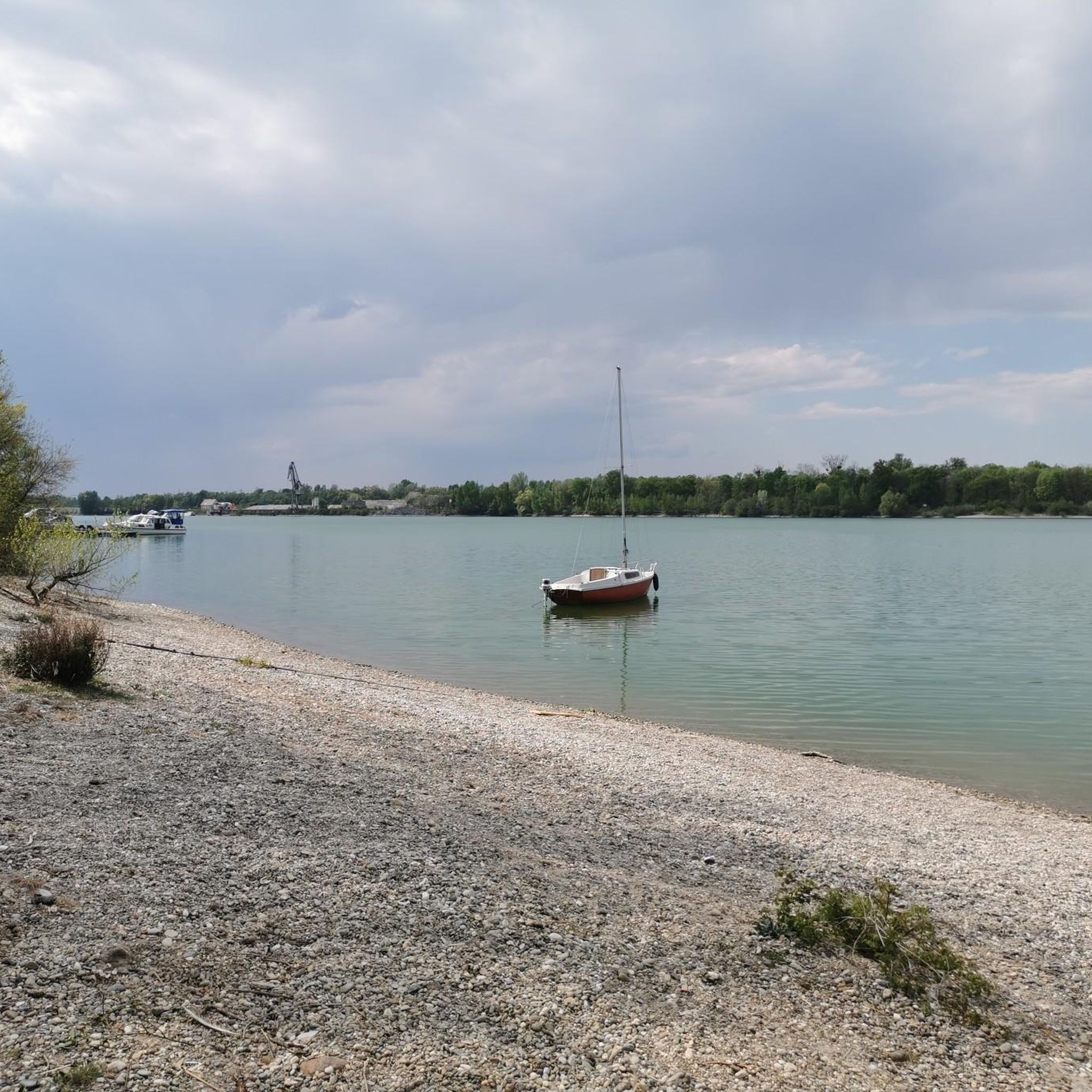
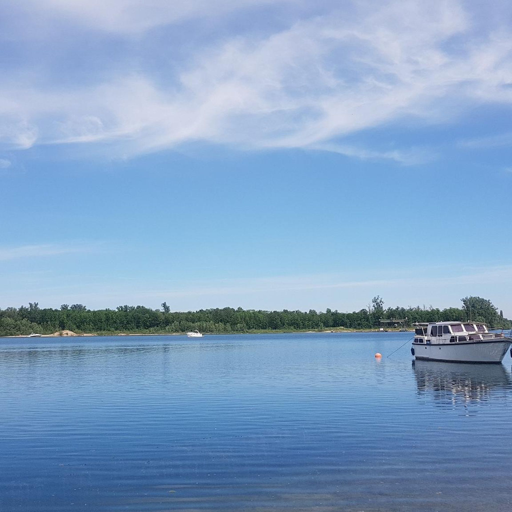
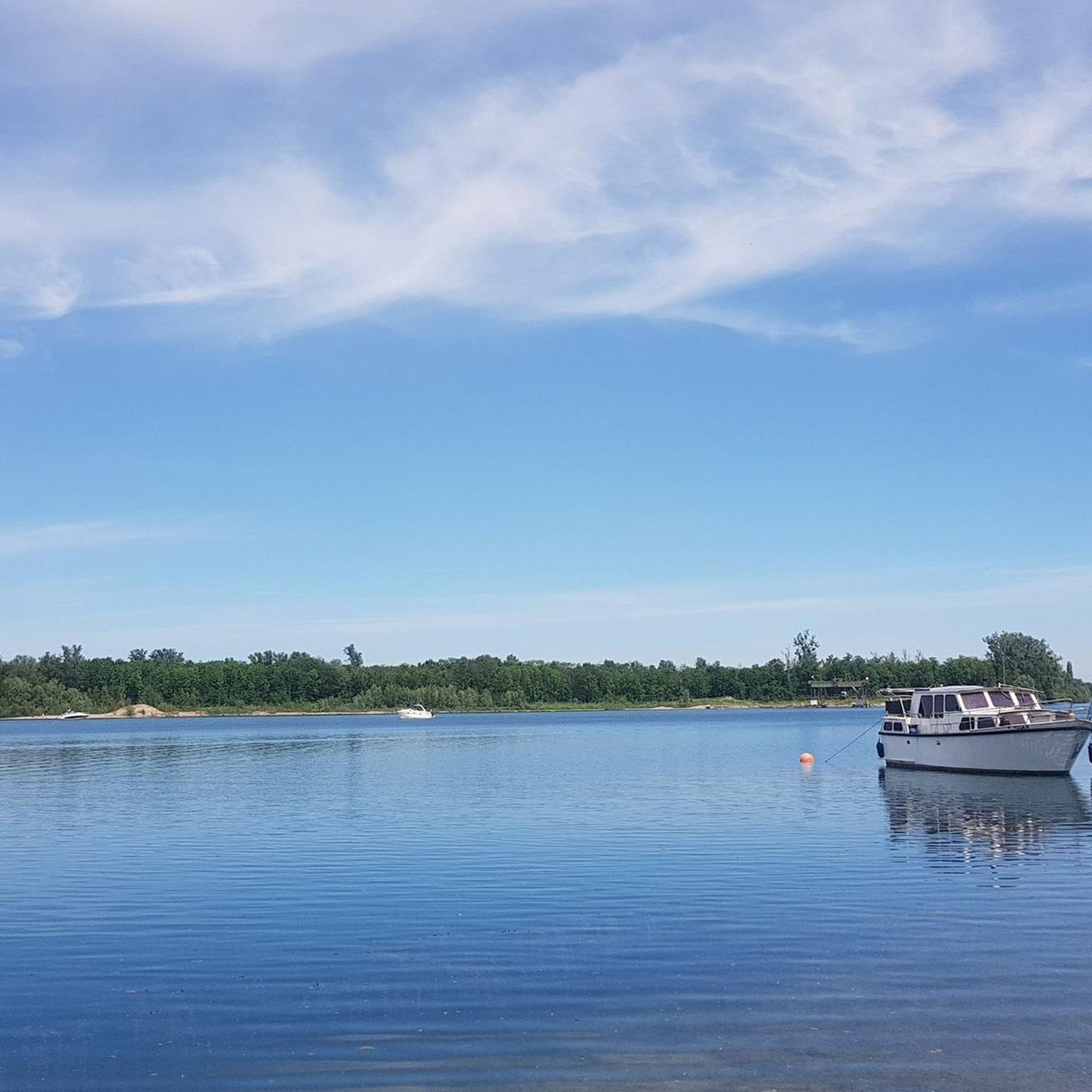
At this point the quarry lake became a beautiful bathing lake with a sandy beach.
3
0
There are weirs at various locations to respond to flooding.
2
0
Frequently Asked Questions
How many hiking trails are there in Steingrundsee (Peterhafen)?
The Steingrundsee (Peterhafen) region offers a wide selection of hiking opportunities, with over 300 routes available. These trails cater to various preferences, from short, easy strolls to longer, more challenging excursions.
Are there many easy hiking trails around Steingrundsee (Peterhafen)?
Yes, the area is particularly well-suited for easy hikes. More than 200 of the available routes are classified as easy, featuring flat terrain and minimal elevation changes, making them accessible for most hikers. An example is the Gambsheim-Rheinau Fish Pass loop from Centrale Hydroélectrique de Gambsheim, an easy 3.0 miles (4.8 km) path.
What is the best time of year to hike around Steingrundsee (Peterhafen)?
The region's trails, characterized by lakeside paths and riverside forests, are enjoyable throughout much of the year. Spring and autumn offer pleasant temperatures and beautiful scenery, while summer provides opportunities for waterside activities. Even in winter, the flat terrain can be suitable for walks, though conditions may vary.
Can I find circular hiking routes in the Steingrundsee (Peterhafen) area?
Yes, many of the trails around Steingrundsee (Peterhafen) are designed as circular routes, allowing you to start and end at the same point. This is ideal for exploring the diverse landscapes without retracing your steps. For instance, the Mühlbach-Wiede Trail – Helmlingen Lake Beach loop from Hinterwörth-Laast is a popular circular option.
Are the hiking trails around Steingrundsee (Peterhafen) suitable for families with children?
Absolutely. The predominantly flat terrain and numerous easy routes make Steingrundsee (Peterhafen) an excellent destination for family-friendly hikes. Many paths follow lakeshores or rivers, offering engaging scenery for younger hikers. The Ill Diversion Canal loop from Offendorf is a shorter, easy option perfect for families.
Are dogs allowed on the hiking trails in Steingrundsee (Peterhafen)?
Generally, dogs are welcome on the hiking trails in the Steingrundsee (Peterhafen) area. It's always recommended to keep your dog on a leash, especially in nature protection areas or near wildlife. Please also ensure you clean up after your pet to maintain the natural environment for everyone.
What kind of terrain can I expect on the hikes?
The hiking trails in Steingrundsee (Peterhafen) are primarily characterized by flat terrain. You can expect well-maintained paths along lakesides, through riverside forests, and across open landscapes. Elevation changes are minimal, making most routes relatively easy to navigate.
Are there any viewpoints or scenic spots along the trails?
While the region is generally flat, the proximity to water bodies like Steingrundsee and the Rhine river offers many scenic spots. Paths often provide open views across the water and into the surrounding forests. The View from Hohe Brücke loop from Mittelgrund Helmlingen is an example of a route that highlights specific scenic points.
What do other hikers enjoy the most about hiking in Steingrundsee (Peterhafen)?
The area is highly rated by the komoot community, with an average score of 4.5 stars from over 1000 reviews. Reviewers often praise the region's accessible, flat trails, the peaceful lakeside and riverside environments, and the opportunity to enjoy nature without significant physical challenge.
Are there options for longer hikes in the region?
Yes, while many trails are easy and shorter, there are also options for longer excursions. For example, the Groschenwasser – Rheinauewald Diersheim loop from Rheinau is a moderate 8.7 miles (14.0 km) trail that leads through dense riverside forests and offers open water views, typically taking about 3 hours 30 minutes to complete.
Where can I find parking for the hiking trails?
Parking availability varies depending on the specific trailhead. Many popular starting points, especially near towns or recreational areas, offer designated parking spaces. It's advisable to check the route details on komoot for specific parking information related to your chosen hike.
Most popular routes around Steingrundsee (Peterhafen)

Get inspired with the komoot mobile app


Explore more
Browse the best Hikes in other regions.
