The best walks and hikes around Clyffe Pypard
4.4
(592)
4,768
hikers
229
hikes
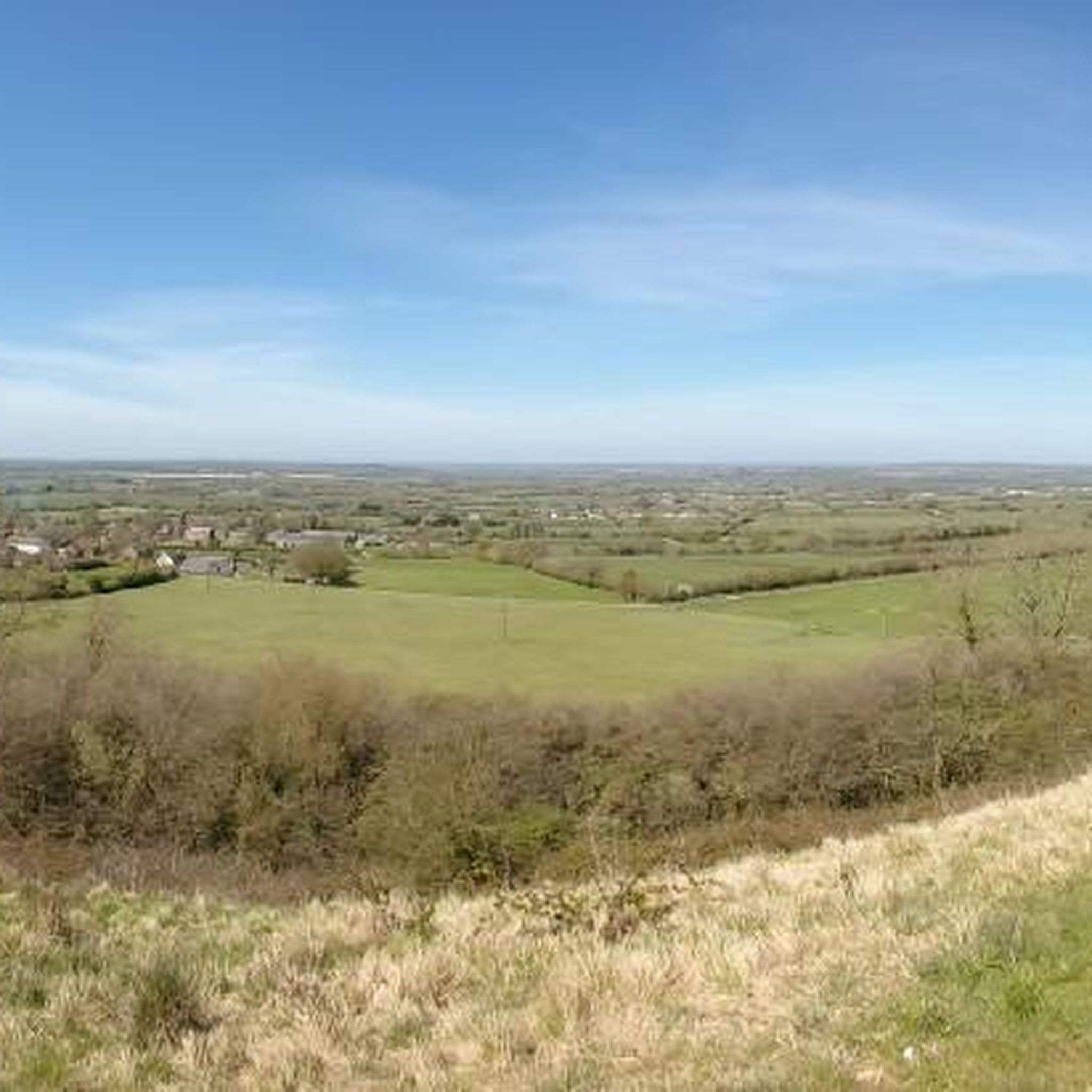
Hiking around Clyffe Pypard offers diverse routes through North Wiltshire's dramatic landscapes. The region is characterized by a steep, north-west facing chalk escarpment, part of the Marlborough Downs and within the North Wessex Downs Area of Outstanding Natural Beauty. Prominent features include Clyffe Hill, ancient woodlands like Cleeve Wood, and streams forming headwaters of the Bristol Avon. Hikers can expect a mix of chalk downland, hedge-lined pastures, and historical elements such as Iron Age hillforts and Bronze Age burial mounds.
Best hiking trails around Clyffe Pypard
- The most popular hiking route is Wilts & Berks Canal Overflow loop from Royal Wootton Bassett, an easy 3.7 miles (5.96 km) trail that takes 1 hour 33 minutes to complete. This route follows a section of the historic canal.
- Another top favourite among local hikers is Broad Hinton Village Centre – Bincknoll Castle Earthworks loop from Broad Hinton, a moderate 6.1 miles (9.76 km) path. This trail explores the area's historical earthworks and surrounding countryside.
- Local hikers also love the Broad Hinton Village Centre loop from Broad Hinton, an easy 3.1 miles (5.03 km) trail leading through village surroundings, often completed in about 1 hour 19 minutes.
- Hiking around Clyffe Pypard is defined by chalk downland, ancient woodlands, and open escarpments. The network offers options for different ability levels, from easy village loops to moderate trails with varied terrain.
- The routes in Clyffe Pypard are highly rated by the komoot community with an average score of 4.5 stars from over 500 reviews. More than 4,000 hikers have used komoot to explore Clyffe Pypard's varied terrain.
Last updated: May 9, 2026
3.0
(2)
22
hikers
5.96km
01:33
40m
40m
Easy hike. Great for any fitness level. Easily-accessible paths. Suitable for all skill levels.
4.5
(2)
12
hikers
Moderate hike. Good fitness required. Easily-accessible paths. Suitable for all skill levels.

Sign up for free
5.0
(1)
15
hikers
Moderate hike. Good fitness required. Easily-accessible paths. Suitable for all skill levels.
9
hikers
5.03km
01:19
40m
40m
Easy hike. Great for any fitness level. Easily-accessible paths. Suitable for all skill levels.
3.5
(2)
10
hikers
Easy hike. Great for any fitness level. Easily-accessible paths. Suitable for all skill levels.
Get access to more routes and recommendations from other explorers.
Sign up for free
Already have an account?
Our route recommendations are based on thousands of hikes, rides, and runs completed by other people on komoot.
Start today with a free account
Your next adventure awaits.
Login or Signup

Tips from the Community

On the left hand side of the Altar you will find the tomb of a 13th century Abbess. The slab bears evidence of an attempt to destroy it, probably during the reformation. The tomb was moved from elsewhere in the church during Victorian changes to the chancel area. As the lands at the north of the Benefice were under the control and ownership of Glastonbury Abbey, at which there was a Nunnery, it is entirely possible this Abbess was a significant figure. The tomb slab is remarkable and a very rare example of a slab tomb that is both etched and carved with a face.
0
0
The Sir William Wroughton monument on the right in the chancel describes Elizabeth I as Queen of England and France although Mary, her predecessor, had lost Calais, the last remaining English possession in France in 1558 and Elizabeth renounced her claim to Calais in 1559.
0
0
Lt. Colonel Francis Glanville, killed fighting for Charles I in 1645 at the battle of Bridgewater in the Civil War, has his helmet, gauntlets and a replica of his sword (the original is in the Royal Armoury) displayed above him. The Latin inscription ends “A greater hero England never saw, happily she did oft produce his equal”. The small reclining figure of a woman in her shroud at the bottom of this monument (usually hidden behind a bench seat) appears in Pevsner’s guide to Wiltshire:“her agonised features are not easily forgotten”. A panel from the Duke of Wellington’s funeral carriage (1851) hangs in the chancel in a glass case because the victor of Waterloo owned land locally.
0
0
In the top left corner of the nave is a flight of stone steps which shows there was once a medieval rood screen to screen the chancel off from the laity, probably with a figure of Christ on the cross above. Next to the stone steps are George III’s Royal Arms, painted in 1763 and cleaned in 2008 – note the fleur de lys in the shield. The chancel contains some interesting monuments to the Glanville family. Sir John was Speaker of the House of Commons in 1640. He burned his own Manor House rather than let it be used by Cromwell’s troops. A famous lawyer, he spent three years in the Tower of London after the Civil War for holding illegal Assizes and later served Charles II, as he had Charles I, as Sergeant-at-Law.
0
0
The sixteenth century was a bad time for this church. In 1553 parishioners refused to receive communion for fear of falling masonry. The broken stones allowed so many birds into the then chancel that the minister couldn’t stand by the communion table and there was no seat whilst reading the psalms. John Batewell, a vicar appointed in 1576, was officially censured for his inability to preach, neglect of catechizing and failure to wear the prescribed dress. However, a water colour of the church, painted in 1795 has text underneath which says that the church was “new built in the year 1634; brought to perfection in the year 1635; finished and beautified in the year 1636; a new pulpit erected in the year 1672; the first loft in the tower was boarded in 1676; the belfry and church porch paved in 1677”. The wonderful tie and hammer beam roof of the nave belongs to the 1634 rebuilding.
0
0
The tower was repaired in the 1870s, when the pinnacles were added, but in 1928 the south pier of the tower arch was found to be bulging inwards and giving way. The tower was shored up with timber while new foundations were laid and survived a gale while standing on only three legs. Walking up the nave towards the altar, on your right is the Sir Thomas Wroughton monument from 1597. The monument reflects the legend that he came home from hunting to find his wife, Anne, reading the Bible instead of cooking his supper. He flung the Bible in the fire and she badly burned her hands retrieving it. His blasphemous behaviour caused his hands to wither away, as well as those of his children. Anne holds a partly burned Bible. Sir Thomas was Sheriff of Wiltshire, yet is listed among poachers of the King’s deer in the records of the Wardens of Savernake Forest!
0
0
Turning left as you enter the church, the fifteenth century tower has a peal of six bells, the oldest three being dated 1664. Prior to 1930, the bells were rung from a loft half way up the 61 feet tower. This position was adapted in 2007 when the choir vestry was moved to the ground floor of the tower to facilitate the introduction of a lavatory, and the bellringers were given a new platform above the vestry.
0
0
The small Squint Window behind the font (on your left as you enter the church) contains Victorian glass. Originally it would not have done so and may have been a leper’s window in early medieval times. Lepers would gather outside the church during the service and after the consecration the Eucharist would be placed on a slab within arms-length of the lepers. Centuries later, masons failed to take account of the presence of this window until after the majority of the porch had been constructed. At which point someone halted the proceedings and ordered a niche to be made to avoid obscuring the window completely.
0
0
Frequently Asked Questions
What kind of terrain can I expect on hikes around Clyffe Pypard?
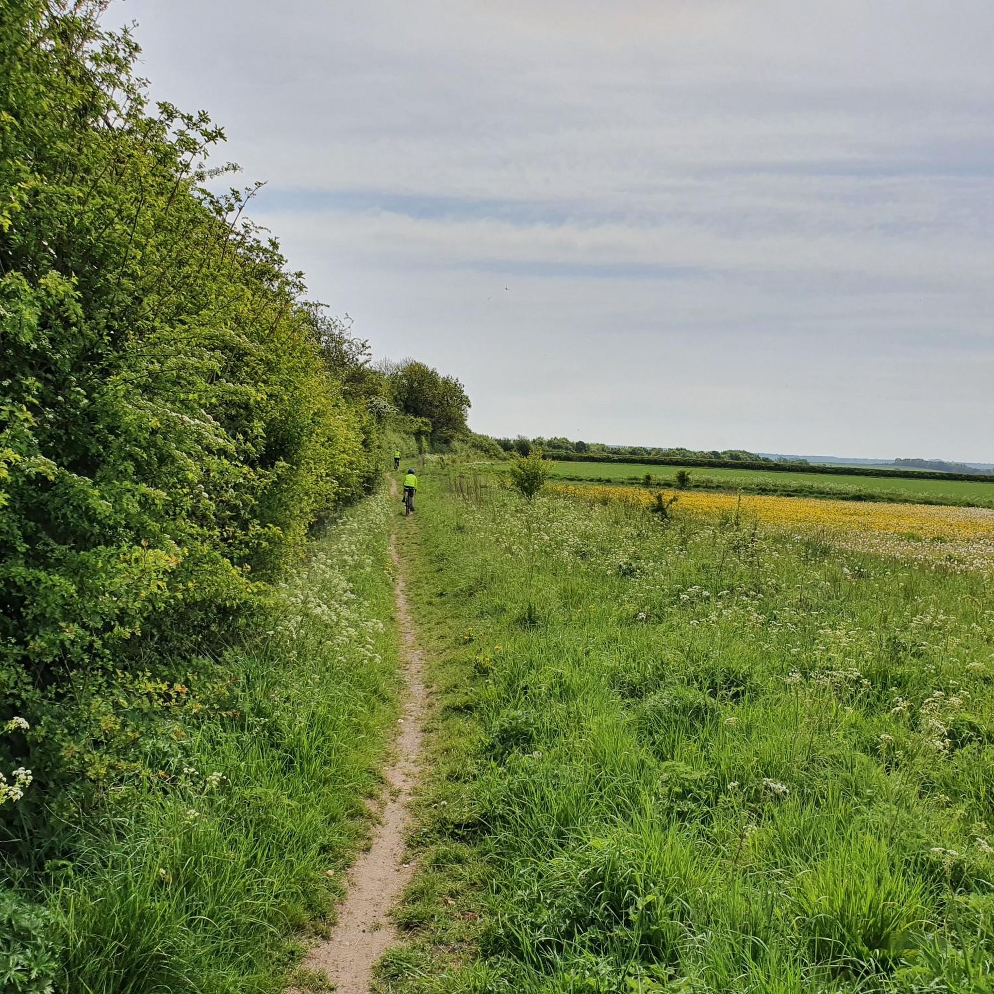
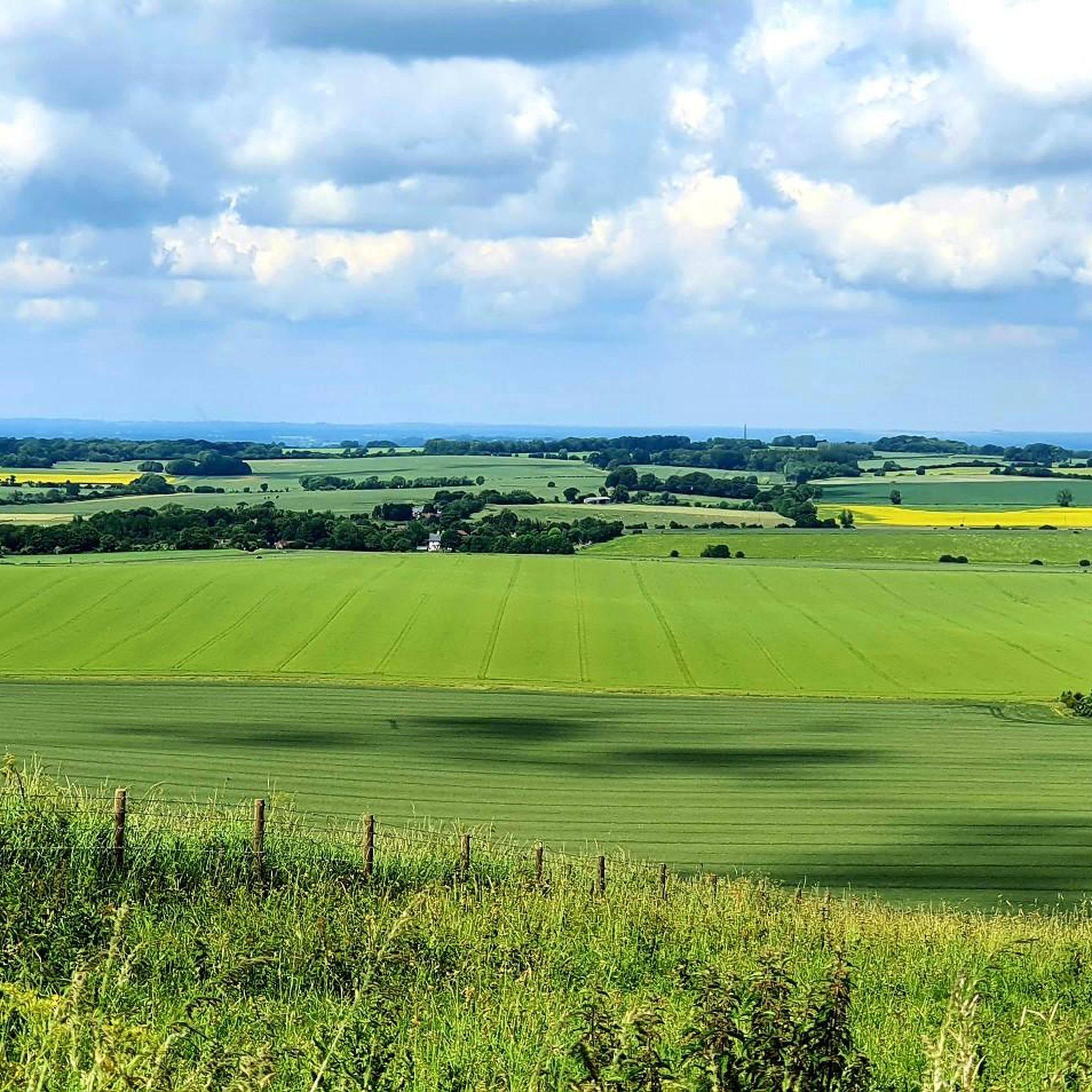
Hiking around Clyffe Pypard offers a diverse mix of landscapes. You'll encounter steep chalk escarpments, classic chalk downland, ancient woodlands like Cleeve Wood, and hedge-lined pastures. Many routes also feature wildflower meadows and follow streams, providing varied and picturesque scenery.
Are there any family-friendly hiking options in Clyffe Pypard?
Yes, Clyffe Pypard offers several easy routes suitable for families. These often include village loops and paths through agricultural lands. For example, the Broad Hinton Village Centre loop from Broad Hinton is an easy 3.1-mile trail that takes about 1 hour 19 minutes, perfect for a family outing.
What historical sites or landmarks can I see while hiking near Clyffe Pypard?
The area is rich in history. You can explore the degraded earthworks of an Iron Age hillfort and Bronze Age burial mounds on Clyffe Hill. Other notable landmarks include the 19th-century chalk figure of The White Horse and the magnificent St. Peter's Church in the village. The ancient Wansdyke earthwork is also accessible. Additionally, the area is close to the Avebury World Heritage Site, where you can visit the Avebury Stone Circle, Silbury Hill, and West Kennet Long Barrow.
Are there any circular walks available in the Clyffe Pypard area?
Yes, Clyffe Pypard is known for its numerous circular walks. These routes allow you to explore the diverse landscapes, including ancient woodlands, chalk escarpments, and agricultural lands, often returning to your starting point without retracing your steps.
What is the best time of year to go hiking in Clyffe Pypard?
The best time to hike in Clyffe Pypard is generally during spring, summer, and early autumn. These seasons offer pleasant weather for exploring the chalk downland and wildflower meadows. Spring brings blooming flowers, while autumn showcases beautiful foliage in the ancient woodlands. Winter hikes are possible but can be muddy on some trails.
What do other hikers say about the trails in Clyffe Pypard?
The hiking trails around Clyffe Pypard are highly regarded by the komoot community, with an average rating of 4.5 stars from over 500 reviews. Hikers often praise the spectacular, sweeping views across the Vale of Pewsey, the diverse landscapes, and the historical points of interest along the routes.
Where can I find parking for hiking trails near Clyffe Pypard?
Parking facilities are typically available in Clyffe Pypard village and in nearby villages like Broad Hinton and Royal Wootton Bassett, which serve as starting points for many trails. Specific parking details can often be found on individual route descriptions.
Can I reach hiking trails in Clyffe Pypard using public transport?
Public transport options to Clyffe Pypard and surrounding villages like Bushton or Broad Town are limited but exist. It's advisable to check local bus schedules in advance, as services may not be frequent, especially on weekends. For more detailed local transport information, you might consult resources like Visit Wiltshire's guides or Wiltshire Council's community history pages for general area information.
Are there any trails that feature water bodies or canals?
Yes, some routes incorporate water features. For instance, the Wilts & Berks Canal Overflow loop from Royal Wootton Bassett is an easy 3.7-mile trail that follows a section of the historic canal, offering a different type of scenery and opportunities to observe local wildlife.
What kind of wildlife might I encounter on a hike in Clyffe Pypard?
The diverse habitats around Clyffe Pypard support various wildlife. Hikers often spot birds of prey like red kites and buzzards soaring overhead. The streams and woodlands also provide homes for numerous water birds and other woodland creatures.
Are there any challenging hikes for experienced walkers?
While many routes are easy to moderate, the varied terrain and elevation changes, particularly on the chalk escarpments, can offer a good challenge. There are 17 difficult routes available, providing options for those seeking more strenuous walks with significant elevation gains.
Are there any specific trails that offer panoramic views?
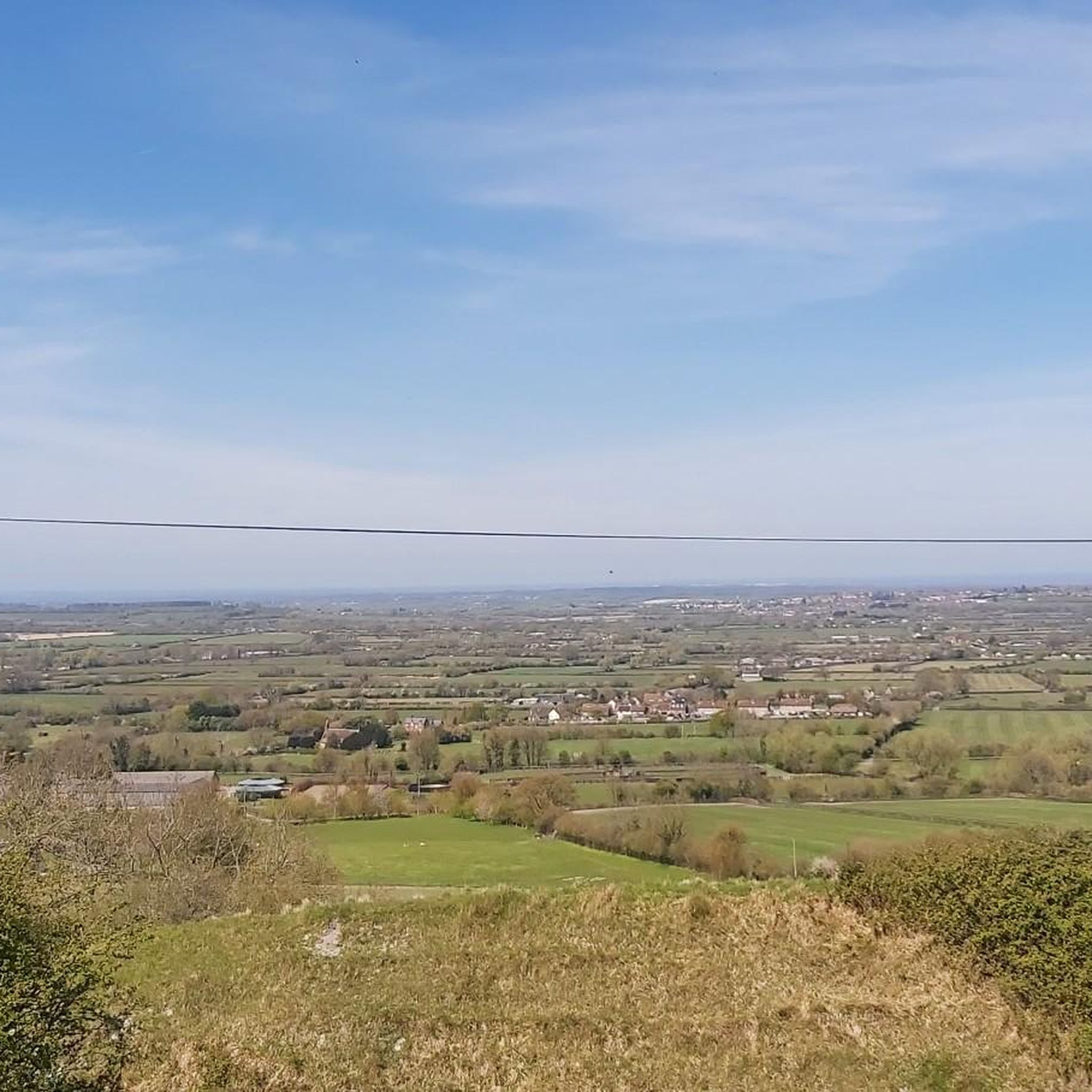
Absolutely. The steep, north-west facing chalk escarpment, especially around Clyffe Hill, provides spectacular, sweeping views south across the entire Vale of Pewsey to the Salisbury Plain escarpment. Many trails along this ridge offer breathtaking vistas.
Most popular attractions around Clyffe Pypard

Get inspired with the komoot mobile app


Explore more
Browse the best Hikes in other regions.
