The best walks and hikes around Lea And Cleverton
4.2
(247)
1,788
hikers
82
hikes
Hikes around Lea and Cleverton explore the rolling countryside on the southern edge of the Cotswolds. The landscape is characterized by low hills, shallow valleys, and agricultural land interspersed with small woodlands like Angrove Wood. Watercourses such as the Woodridge Brook and the nearby River Avon feature on many of the local routes, which are generally suitable for a range of fitness levels.
Best hiking trails around Lea and Cleverton
- The most popular hiking route is the Angrove Wood loop…
Last updated: June 22, 2026
5.0
(6)
31
hikers
11.8km
03:06
110m
110m
Moderate hike. Good fitness required. Easily-accessible paths. Suitable for all skill levels.
4.3
(6)
27
hikers
9.72km
02:32
70m
70m
Moderate hike. Good fitness required. Easily-accessible paths. Suitable for all skill levels.

Sign up for free
4.0
(4)
34
hikers
5.14km
01:22
50m
50m
Easy hike. Great for any fitness level. Easily-accessible paths. Suitable for all skill levels.
4.8
(5)
30
hikers
15.3km
04:01
120m
120m
Moderate hike. Good fitness required. Easily-accessible paths. Suitable for all skill levels.
4.6
(5)
8
hikers
3.35km
00:53
30m
30m
Easy hike. Great for any fitness level. Easily-accessible paths. Suitable for all skill levels.
Get access to more routes and recommendations from other explorers.
Sign up for free
Already have an account?
Our route recommendations are based on thousands of hikes, rides, and runs completed by other people on komoot.
Start today with a free account
Your next adventure awaits.
Login or Signup


Tips from the Community

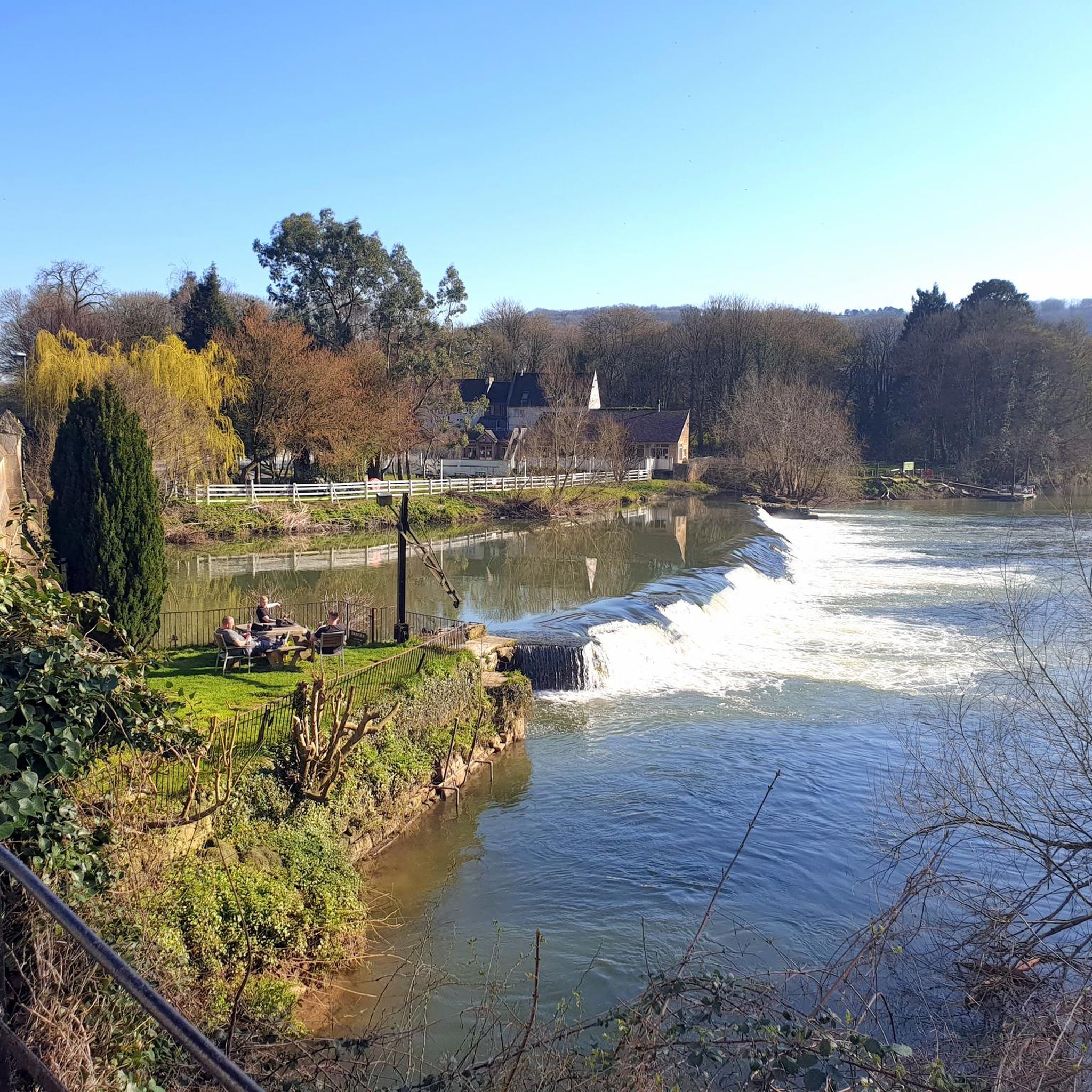
Just a gorgeous view of the Malmesbury Abbey, you can imagine it, centuries ago, being a place so visible in the landscape with much fewer buildings!
0
0

This is a bit of a hidden gem. It's quite easy to miss it, yet it has a large indoor seating area as well as outside tables and chairs. Open 7 days a week. Big choice of snacks, cakes, and coffees. Recommended.
0
0

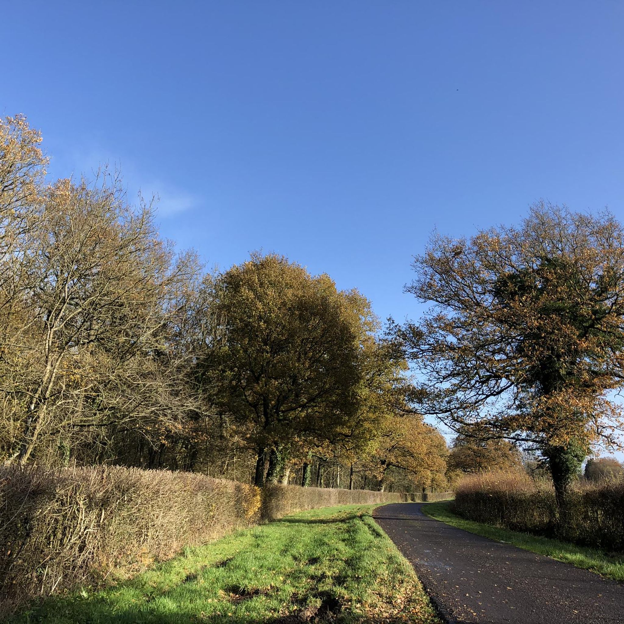
I believe this lane was once part of the main Bristol to Oxford road. The Saxon M4 🙂
1
0

"Malmesbury (/ˈmɑː(l)mzbəri/) is a town and civil parish in Wiltshire, England. As a market town it became prominent in the Middle Ages as a centre for learning focused on and around Malmesbury Abbey, the bulk of which forms a rare survival of the dissolution of the monasteries. Once the site of an Iron Age fort, in the early medieval period it became the site of a monastery famed for its learning and one of Alfred the Great's fortified burhs for defence against the Vikings. Æthelstan, the first king of all England, was buried in Malmesbury Abbey when he died in 939." Cit. https://en.wikipedia.org/wiki/Malmesbury
1
0

Lovely quiet lanes with a good surface.
0
0

Lovely market town, lots of nice small shops and cafe's
1
0
Frequently Asked Questions
Are there many circular walks available around Lea and Cleverton?
Yes, the area is well-suited for circular hikes. Many routes start and end in nearby Malmesbury or surrounding villages, looping through the countryside. A good example is the Angrove Wood loop from Malmesbury, a moderate walk that takes you through local woodlands.
Can I take my dog on the hiking trails?
Most footpaths in the countryside are suitable for walking with dogs, but they should be kept under control, especially near livestock. The trails often cross agricultural land, so it's important to follow the Countryside Code. Routes through open fields and woodlands are generally good options.
What is the general terrain like for hiking in this area?
The hiking terrain around Lea and Cleverton is characterized by gently rolling open countryside, low hills, and shallow valleys. You'll encounter a mix of agricultural field footpaths, quiet country lanes, and paths through small woodlands. Most trails are on well-maintained paths, thanks in part to local volunteer groups.
Are there any easy, family-friendly walks?
Certainly. The area offers many shorter, easier walks with minimal elevation change. For a very accessible option, consider the View of Malmesbury Abbey loop from Malmesbury. It's a short walk of about 2 miles (3.2 km) that provides lovely perspectives of the historic abbey without being too strenuous.
Where is the best place to park for a walk?
Most hikers start from the nearby town of Malmesbury, which has several public car parks. Starting from here gives you access to multiple trailheads. For routes beginning in smaller villages like Little Somerford, on-street parking may be available, but please park considerately.
Are there any good pub walks in the area?
Yes, you can easily combine a hike with a pub visit. A great option for this is The Somerford Arms loop from Little Somerford. This longer route allows you to explore the surrounding villages and finish your walk near a traditional pub.
What do other hikers think of the routes around Lea and Cleverton?
The trails in this region are highly rated by the komoot community. Reviewers often praise the peaceful English countryside scenery, the gentle riverside paths, and the views of historic landmarks like Malmesbury Abbey.
Are there any longer hikes for a full day out?
Yes, there are several longer routes for those seeking a more substantial hike. For example, the Hiking loop from Malmesbury is a moderate trail of about 5.8 miles (9.3 km) that explores the area between Malmesbury and Lea. For more ambitious hikers, the parish's location on the edge of the Cotswolds provides access to an extensive network of long-distance paths.
What are some interesting things to see on a walk?
Walks in this area are rich with scenic and historic points of interest. You can see the 12th-century St. Giles Church in Lea, charming historic cottages, and enjoy views of the magnificent Malmesbury Abbey. The routes often follow picturesque watercourses like the River Avon and Woodridge Brook.
Are there any nature reserves or good spots for wildlife watching?
Yes, the nearby Lower Moor Nature Reserve is a fantastic spot for wildlife enthusiasts. It features lakes, meadows, and ancient woodlands with pathways and boardwalks for visitors. It's a great place to see birds, dragonflies, and other local wildlife.
How many hiking trails are there to choose from?
There are over 75 hiking routes to explore around Lea and Cleverton on komoot. They range from short, easy strolls to more moderate, half-day hikes, offering plenty of options for all fitness levels.
Can I see any interesting art on the trails?
Yes, for something a bit different, the Gorilla Mural, Brokenborough – Hotel Grange loop from Malmesbury takes you past some unique local street art as part of a pleasant and easy walk through the surrounding hamlets.
Most popular routes around Lea And Cleverton
Most popular attractions around Lea And Cleverton

Get inspired with the komoot mobile app


Explore more
Browse the best Hikes in other regions.
