The best running trails around Colerne
4.4
(71)
3,209
runners
27
runs
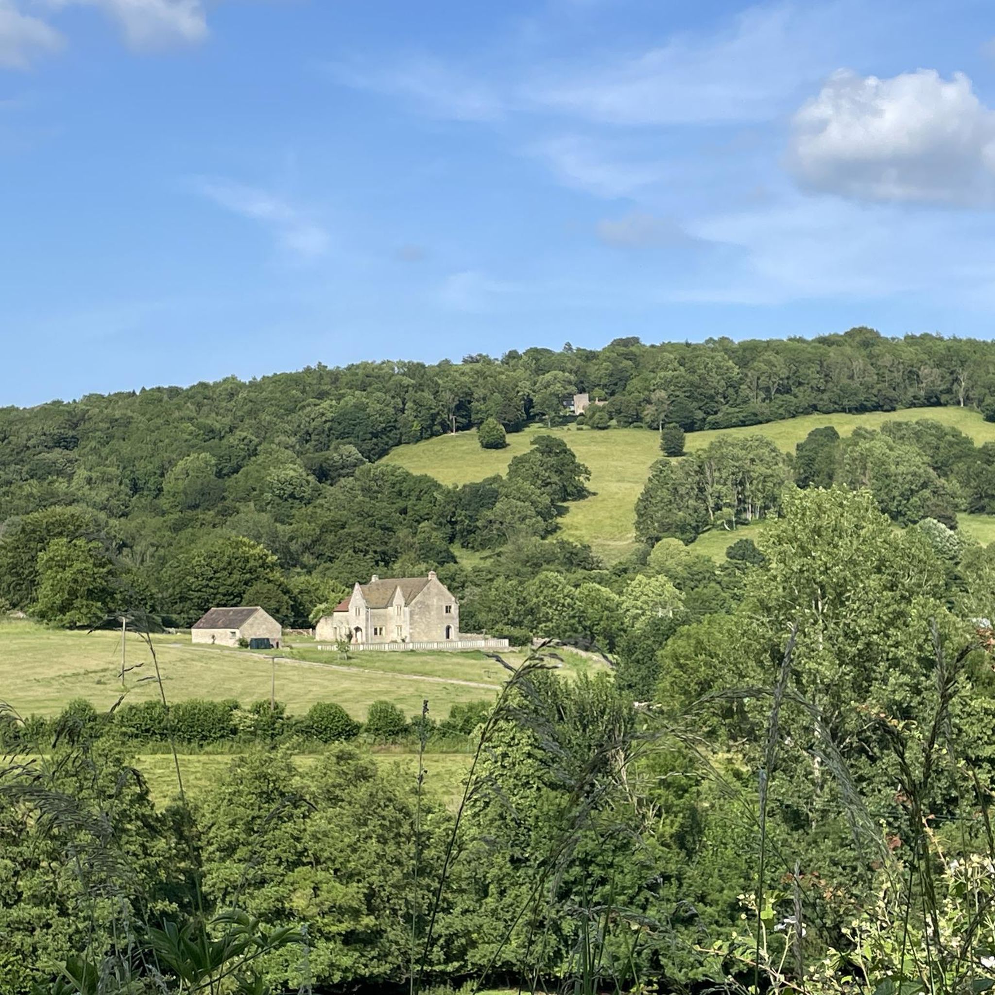
Jogging around Colerne offers a variety of routes through the rolling hills and woodlands characteristic of this region. The landscape features a mix of open fields, ancient bridleways, and sections of the historic Fosse Way. Runners can explore diverse terrain, from gentle slopes to more challenging ascents, providing options for different fitness levels. The area's network of paths allows for both short, easy jogging routes and longer distance running trails.
Best jogging routes around Colerne
- The most popular jogging route is Eastrip Bridleway – Brace Hill loop from Colerne, a 12.6 miles (20.3 km) trail that takes 2 hours 12 minutes to complete. This difficult route follows a long bridleway through varied countryside.
- Another top favourite among local runners is Muddy Path in Weavern Woods loop from Colerne, a moderate 6.3 miles (10.1 km) path. This route leads through the scenic Weavern Woods, offering a mix of woodland trails.
- Local runners also love the Fosse Way Near Colerne loop from Colerne, a 5.1 miles (8.2 km) trail leading through open fields and along the historic Fosse Way, often completed in about 52 minutes.
- Jogging around Colerne is defined by rolling hills, ancient bridleways, and dense woodlands, with options for easy, moderate, and difficult running routes. The network offers options for different ability levels, from beginner running routes to long distance running trails.
- The routes in Colerne are highly rated by the komoot community with an average score of 4.3 stars from over 50 reviews. More than 3000 runners have used komoot to explore Colerne's varied terrain.
Last updated: November 5, 2026
12
runners
20.3km
02:12
290m
290m
Hard run. Very good fitness required. Mostly paved surfaces.
10
runners
10.1km
01:08
210m
210m
Moderate run. Good fitness required. Mostly paved surfaces.

3.0
(1)
8
runners
8.25km
00:52
80m
80m
Moderate run. Good fitness required. Mostly paved surfaces.
7
runners
8.78km
00:59
160m
160m
Moderate run. Good fitness required. Mostly paved surfaces.
7
runners
17.1km
01:53
190m
190m
Hard run. Very good fitness required. Mostly paved surfaces.
Get access to more routes and recommendations from other explorers.
Already have an account?
Our route recommendations are based on thousands of hikes, rides, and runs completed by other people on komoot.
Start today with a free account
Your next adventure awaits.
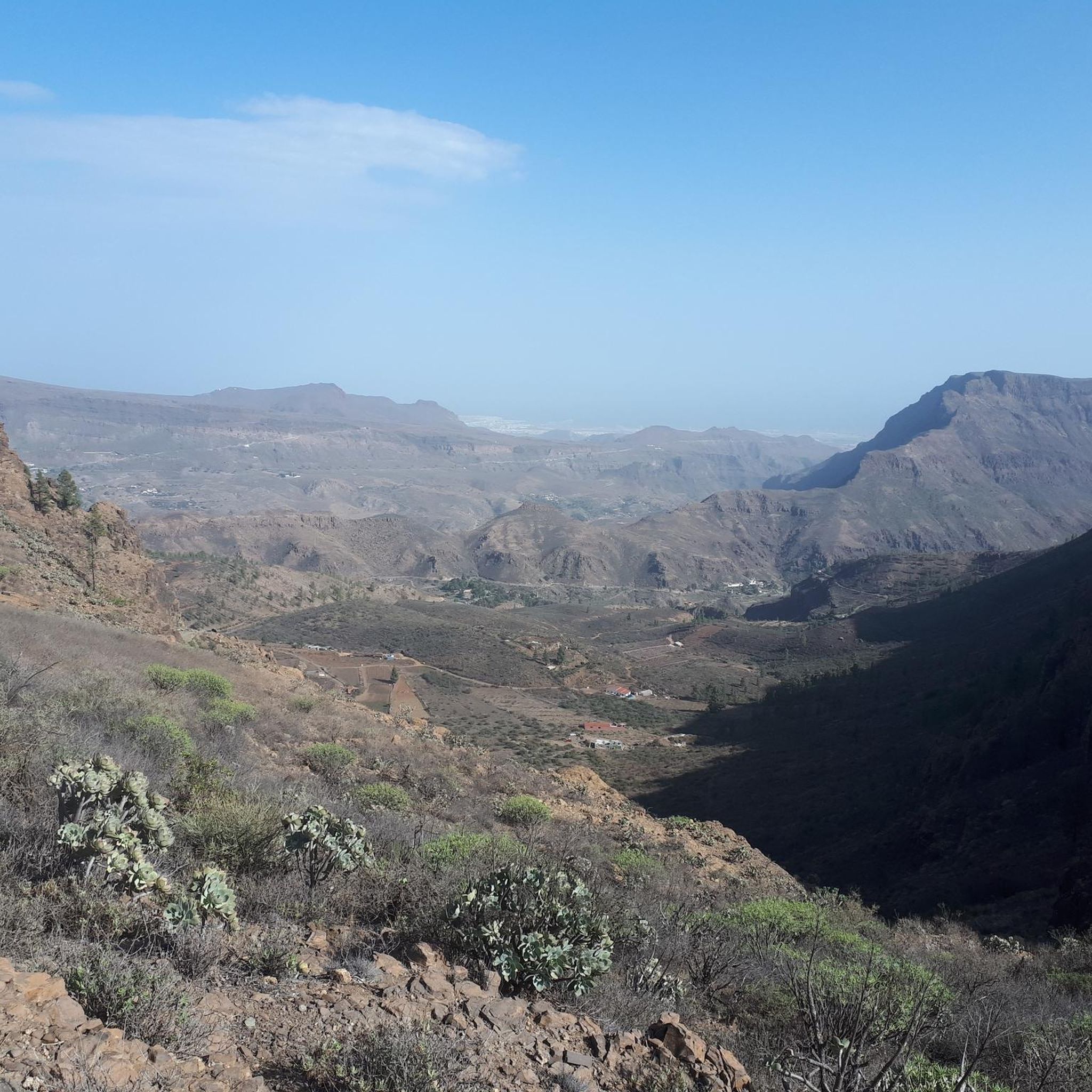
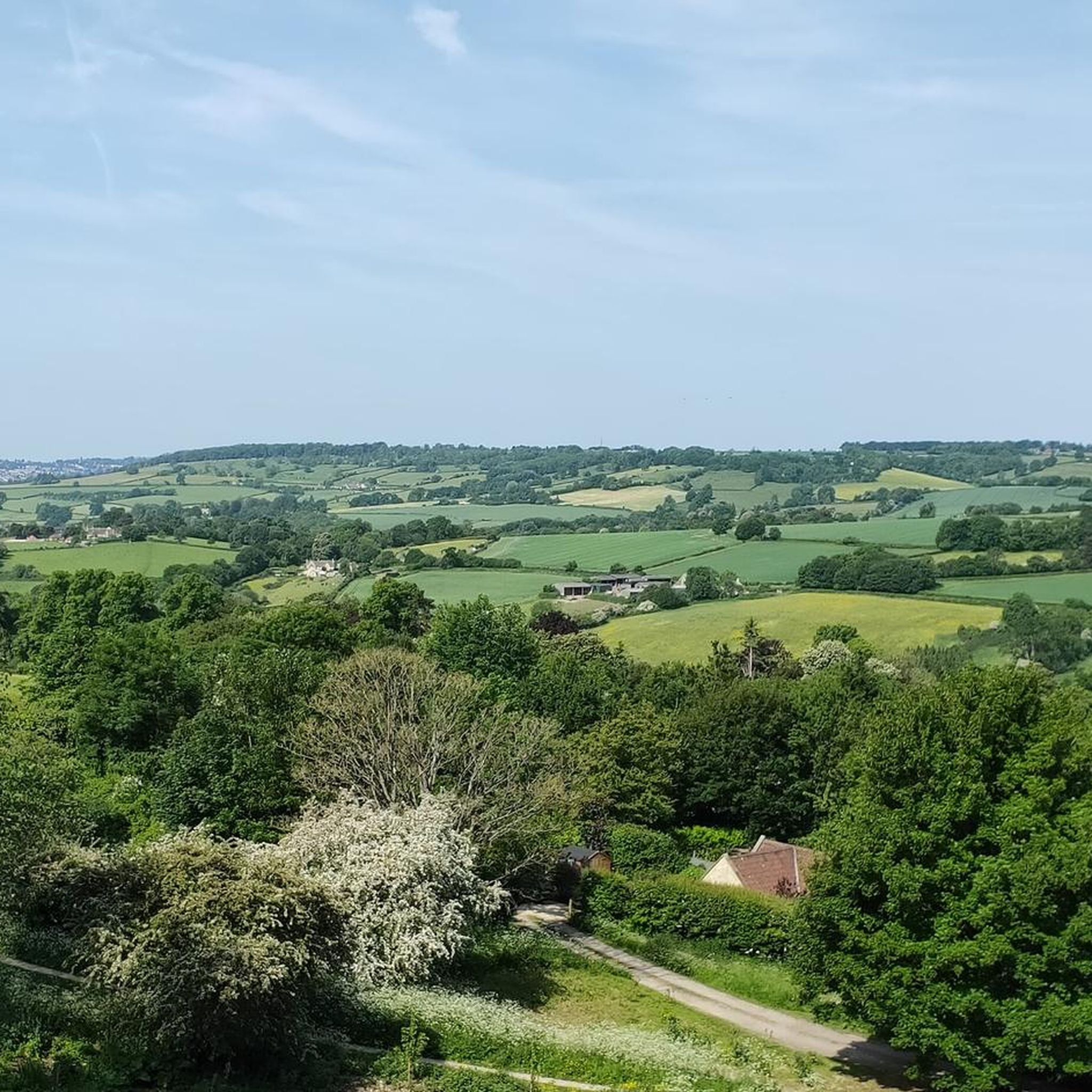
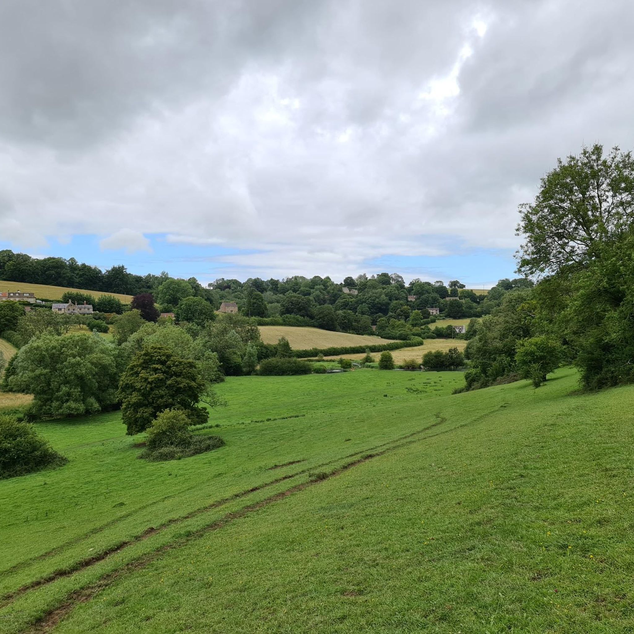
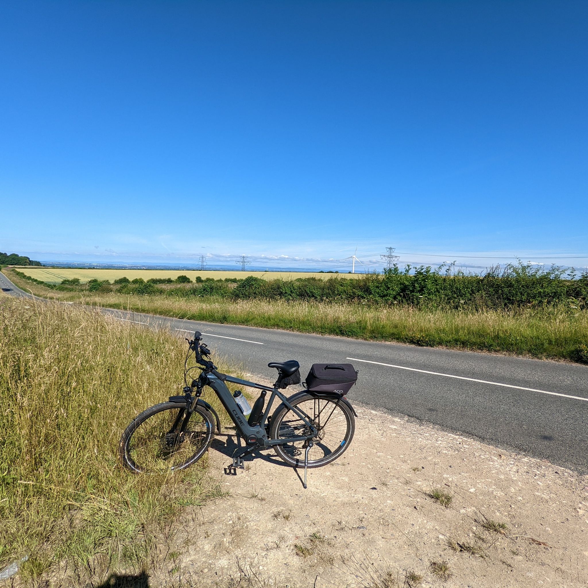
Tips from the Community

This final climb steadily gets steeper as it goes on providing a brutal finish to this route.
0
0

Take a flask or a cold drink or even a picnic. This is a lovely spot to stop for a rest and enjoy the stunning views
0
0

Open year round. Decent coffee. Good range of food. Very popular. You may not get a table if you haven't booked.
0
0

This is a loooong hill. South is UP. Steep at the beginning and middle and convinces you it gets a bit gentler by the end.
0
0

May 2024. Starts well, but turns to rutted swamp for about a km in the middle. expect to get wet. I hate Motos
0
0

Lovely tea room in Marshfield. Emily's review earlier still stands on bike parking, but the back is quite safe. Good traditional cakes with indoor seating. Does offer cake to take away.
0
0

but not after a month of rain.
0
0
Extremely muddy to the point of boggy in winter into spring. East to west you have a hill to deal with so I imagine it's easier in reverse. Have come down here in summer and it's pretty great in the dry.
0
0
Frequently Asked Questions
How many running routes are available in Colerne?
There are over 30 running routes around Colerne, offering a diverse range of options for all fitness levels. These include easy, moderate, and difficult trails through the region's characteristic rolling hills and woodlands.
Are there easy running routes suitable for beginners in Colerne?
Yes, Colerne offers several easy running routes perfect for beginners. These trails typically feature gentler slopes and well-maintained paths, allowing new runners to enjoy the scenic countryside without excessive challenge. There are 3 easy routes available.
Can I find long-distance running trails around Colerne?
Absolutely. For those looking for a challenge, Colerne has several long-distance running trails. One notable option is the Eastrip Bridleway – Brace Hill loop from Colerne, which spans 12.6 miles (20.3 km) and follows a long bridleway through varied countryside.
Are there any circular jogging routes in Colerne?
Many of the running routes in Colerne are circular, providing convenient starting and ending points. For example, the Muddy Path in Weavern Woods loop from Colerne is a moderate 6.3-mile (10.1 km) circular path that leads through scenic woodlands.
What kind of scenery can I expect on running trails near Colerne?
Running trails near Colerne offer a mix of picturesque scenery, including rolling hills, ancient bridleways, and dense woodlands. You'll encounter open fields, sections of the historic Fosse Way, and often expansive views of the surrounding countryside, such as those found on the Eastrip Bridleway – View of the Cotswolds loop from Colerne.
Are there any interesting landmarks or attractions along the running routes?
While the routes themselves focus on natural beauty, the wider area around Colerne features several points of interest. You might consider visiting the Dundas Aqueduct or exploring the Kennet and Avon Canal Towpath, both within reach of Colerne. For natural sights, the Golden Valley Nature Reserve Waterfall is also a notable highlight.
What do other runners enjoy most about jogging in Colerne?
The running routes in Colerne are highly rated by the komoot community, with an average score of 4.3 stars from over 50 reviews. Runners frequently praise the varied terrain, from gentle slopes to more challenging ascents, and the opportunity to explore ancient bridleways and dense woodlands.
Are there any running routes that follow historical paths?
Yes, Colerne's location allows for running along historical paths. The Fosse Way Near Colerne loop from Colerne is a great example, leading through open fields and directly along sections of the ancient Roman road, offering a unique historical running experience.
Can I find running routes that offer views of the Cotswolds?
Indeed. Some routes provide stunning vistas of the Cotswolds. The Eastrip Bridleway – View of the Cotswolds loop from Colerne is specifically designed to showcase these panoramic views, making it a popular choice for scenic runs.
What is the terrain like on Colerne's running trails?
The terrain on Colerne's running trails is quite varied, reflecting the region's landscape. You'll encounter a mix of open fields, ancient bridleways, and woodland paths. Expect rolling hills with both gentle slopes and some more challenging ascents, providing a diverse running experience.
Are there moderate running routes for intermediate runners?
Colerne offers a good selection of moderate running routes, perfect for intermediate runners looking for a balanced challenge. These trails often combine varied terrain with manageable distances and elevation changes. There are 21 moderate routes available, such as the Eastrip Bridleway loop from Colerne.
Most popular routes around Colerne
Most popular attractions around Colerne

Get inspired with the komoot mobile app


Explore more
Browse the best Running Trails & Routes in other regions.
