The best walks and hikes around Lac de Montoliu
4.5
(323)
3,340
hikers
49
hikes
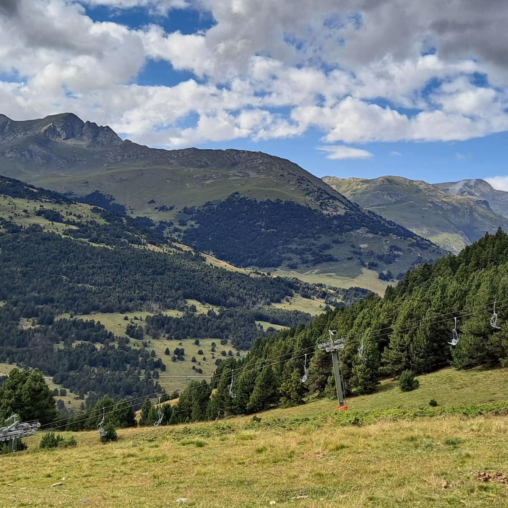
Hiking around Lac de Montoliu offers a classic high-mountain environment in the Spanish Pyrenees. The region is characterized by open valleys, elevated passes like the Còth de Montoliu, and the lake itself situated at 2,380 meters. The landscape features rugged glacial terrain, pastures, and the prominent Tuc de Maubèrme peak (2,881 m). This area provides diverse natural features for outdoor exploration.
Best hiking trails around Lac de Montoliu
- The most popular hiking route is Pico Mauberne and Minas de Montoliu…
Last updated: May 12, 2026
5.0
(2)
25
hikers
12.5km
04:06
830m
830m
Hard hike. Good fitness required. Sure-footedness, sturdy shoes and alpine experience required.
4.0
(1)
9
hikers
6.34km
02:16
370m
370m
Moderate hike. Good fitness required. Easily-accessible paths. Suitable for all skill levels.

Sign up for free
8.58km
02:41
300m
300m
Moderate hike. Good fitness required. Mostly accessible paths. Sure-footedness required.
6
hikers
Easy hike. Great for any fitness level. Easily-accessible paths. Suitable for all skill levels.
5.0
(1)
12
hikers
5.35km
01:50
260m
260m
Easy hike. Great for any fitness level. Easily-accessible paths. Suitable for all skill levels.
Get access to more routes and recommendations from other explorers.
Sign up for free
Already have an account?
Our route recommendations are based on thousands of hikes, rides, and runs completed by other people on komoot.
Start today with a free account
Your next adventure awaits.
Login or Signup
Popular around Lac de Montoliu
Tips from the Community

Spectacular lake found in this north-eastern area, border of the Vall d'Aran region and located at the foot of the Tuc de Maubèrme.
0
0

This abandoned mining village is a truly special place. A stunning scenery you will have to earn with a hard climb.
0
0

The houses of the Liat mines are located near the Liat refuge and the Pica Palomera lake, at more than 2,300 meters of altitude. Wherever we look, we have magnificent views.
0
0
Estanh Long de Liat in Aránese, is of glacial origin located at 2,136 meters of altitude, in the north of the Valle de Arán region. Located near the mines of Liat and under the attentive gaze of the peak of Mauberne.
0
0
The views are spectacular from the highest point of the Varradós track next to the lake of the same name.
0
0
Magnificent panoramic views of the Aran Valley. Border between Spain and France, the peak of Mauberme is at an altitude of 2880 meters.
0
0

This refuge is located at an altitude of 2,270 meters and is not guarded, which means that there are no services. It has capacity for about 12 people. In winter there may be snow inside.
3
0
At this point are the ruins of what were the huts of the Liat miners. Although mining activity began to decline in the 1920s, it was not until the 1960s that the facilities were permanently abandoned. In this complex there are many remains of rusty tools and tunnels dug in search of ore.
2
0
Frequently Asked Questions
How many hiking trails are available around Lac de Montoliu?
There are over 50 hiking trails around Lac de Montoliu, catering to various skill levels. You'll find a good mix of easy, moderate, and difficult routes to explore the high-mountain environment.
What is the best time of year to go hiking in Lac de Montoliu?
The ideal time for hiking around Lac de Montoliu is during late spring and summer. This period offers the most favorable weather conditions for exploring the high-mountain terrain. It's advisable to avoid busy holiday weekends for a more tranquil experience. Early spring might present muddy conditions on some trails.
Are there any historical sites or landmarks to see while hiking?
Yes, the region offers intriguing historical sites. Hikers can explore the abandoned Montoliu mines, located high up on the Pòrt d'Urets. These mines, operational from 1864 to 1923, extracted various minerals. You can experience this history on routes like Pico Mauberne and Minas de Montoliu — Valle de Arán. The 'sister mines' of Liat are also nearby, and you can visit them via the Liat Mines Trail.
What kind of wildlife can I expect to see on the trails?
The remote and secluded nature of the Lac de Montoliu area makes it rich in wildlife. Visitors often have the opportunity to spot herds of deer, marmots, and chamois, particularly in less frequented areas, offering a deeper connection with nature.
Are there any easy hiking options suitable for beginners or families?
While many routes in Lac de Montoliu involve challenging ascents, there are easier options available. Out of the 50 trails, 11 are classified as easy. For example, the Ruins of the Liat Mines – Liat unmanned shelter loop from Colhada deth Pas Estret is an easy 4.2 km loop that takes about 1 hour 28 minutes, offering a less strenuous way to enjoy the scenery and history.
What are the typical terrain and elevation changes like on hikes here?
The terrain around Lac de Montoliu is characteristic of a high-mountain environment, shaped by ancient glacial activity. You'll encounter well-trodden paths, but also more challenging mountain trails with significant elevation gains. For instance, the route to Còth de Montoliu can involve over 1,000 meters of ascent. The landscape features open valleys, pastures, and rugged, sometimes reddish, slopes, with the impressive Tuc de Maubèrme towering above.
Are there any circular hiking routes around Lac de Montoliu?
Yes, there are several circular routes that allow you to experience the diverse landscapes. A popular option is the Lake Montoliu – Maubèrme Peak loop from Bocard des Calhaus, a difficult 13.9 km path offering extensive views. Another is the Lake Montoliu loop from Pic de Maubermé / Tuc de Maubèrme, a moderate 6.3 km trail through alpine landscapes.
What do other hikers say about the trails in Lac de Montoliu?
The trails in Lac de Montoliu are highly regarded by the komoot community, with an average rating of 4.6 stars from over 300 reviews. Hikers frequently praise the stunning alpine landscapes, the challenging yet rewarding ascents, and the opportunity to explore historical mine sites and observe wildlife in a tranquil setting.
Are there opportunities for longer, more challenging multi-day hikes?
While specific multi-day routes aren't detailed, the region's connection to the GR-211 and Pass'Aran routes, combined with the demanding ascents and remote nature, suggests possibilities for extended treks. For example, a full trek from Pla de Beret to Lac de Montoliu and back can take 8-9 hours, indicating the potential for longer, more strenuous adventures for experienced hikers.
What are the prominent natural features or viewpoints in the area?
The region is defined by its stunning natural features. Key viewpoints include the Còth de Montoliu, offering panoramic vistas, and the impressive pyramid of Tuc de Maubèrme (2,881 m) which dominates the skyline. Exploring the Colhada Nera from Lac de Montoliu also promises spectacular views, including glimpses of the distant Maladeta massif.
Is water readily available on the trails?
While water sources are part of the natural environment, they can sometimes be scarce, particularly in August, between Pla de Beret and Lac de Montoliu. It's always recommended to carry sufficient water for your hike, and if purifying water from streams, ensure you have the necessary equipment.
Most popular routes around Lac de Montoliu

Get inspired with the komoot mobile app


Explore more
Browse the best Hikes in other regions.
