The 6 Most Amazing Peaks around Horningsham
Best mountain peaks around Horningsham are characterized by elevated terrain and notable hills rather than dramatic mountains. The region is part of the Cranborne Chase and West Wiltshire Downs Area of Outstanding Natural Beauty, offering scenic views and recreational opportunities. Horningsham Common is a prominent elevated feature, reaching 229 meters with a prominence of 31 meters. The area provides diverse terrain for hikers and nature enthusiasts, featuring open moorland and chalk ridges.
Best mountain peaks around Horningsham
- The most popular…
Last updated: July 1, 2026
Cold Kitchen Hill Trig Point
Highlight • Viewpoint
Tip by

Cley Hill
Highlight • Viewpoint
Tip by

Sign up now to discover places like this
Get recommendations on the best single tracks, peaks, & plenty of other exciting outdoor places.
Sign up for free
Middle Hill
Highlight • Historical Site
Tip by

Upton Cow Down
Highlight • Trail
Tip by

Hose Gate Road Summit
Highlight • Viewpoint
Tip by
Sign up for free to discover even more peaks around Horningsham.
Sign up for free
Already have an account?
Start today with a free account
Your next adventure awaits.
Login or Signup

Tips from the Community

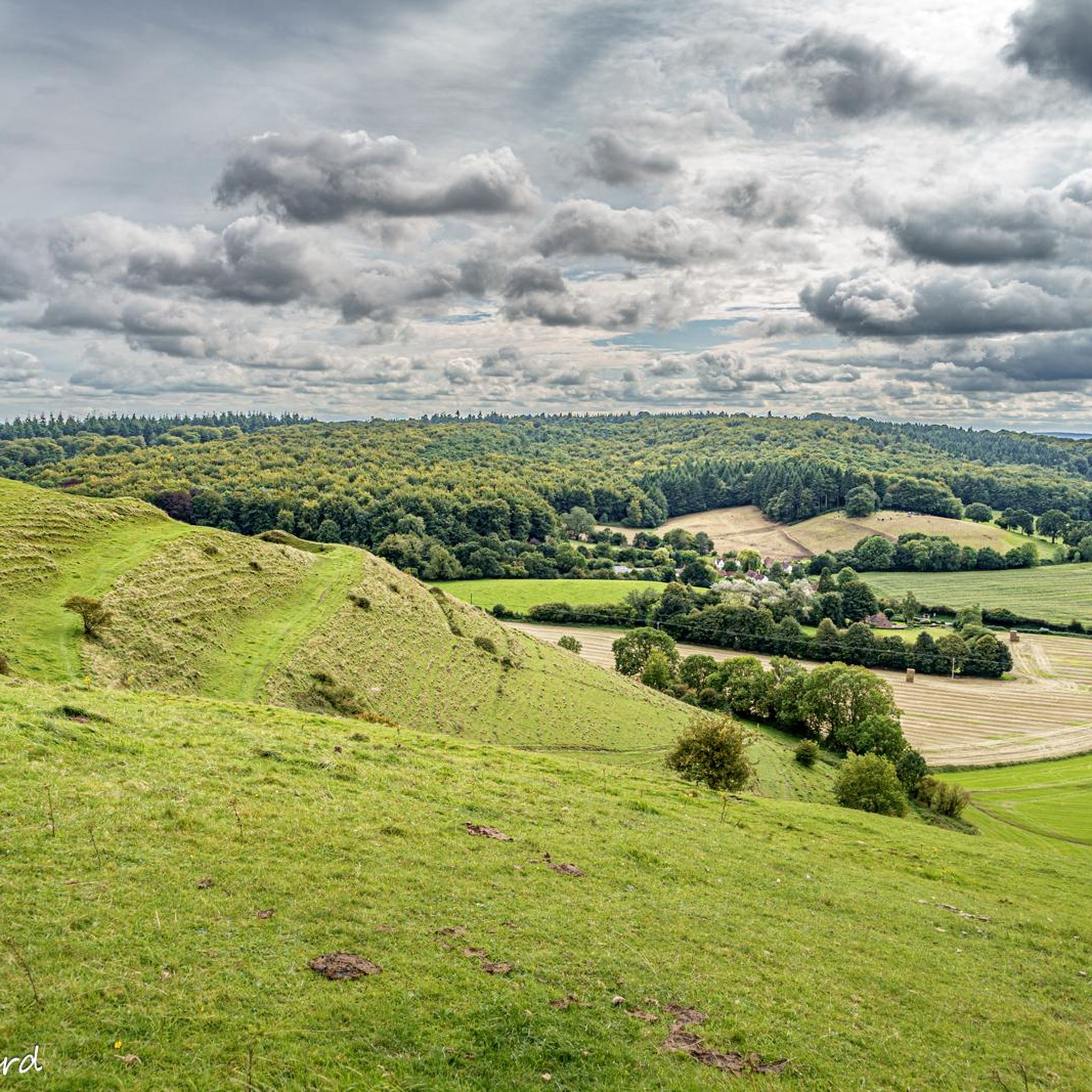
Good climb, was across fields but fine today as they’ve been harvested. Might have been tricky earlier in the year
0
0

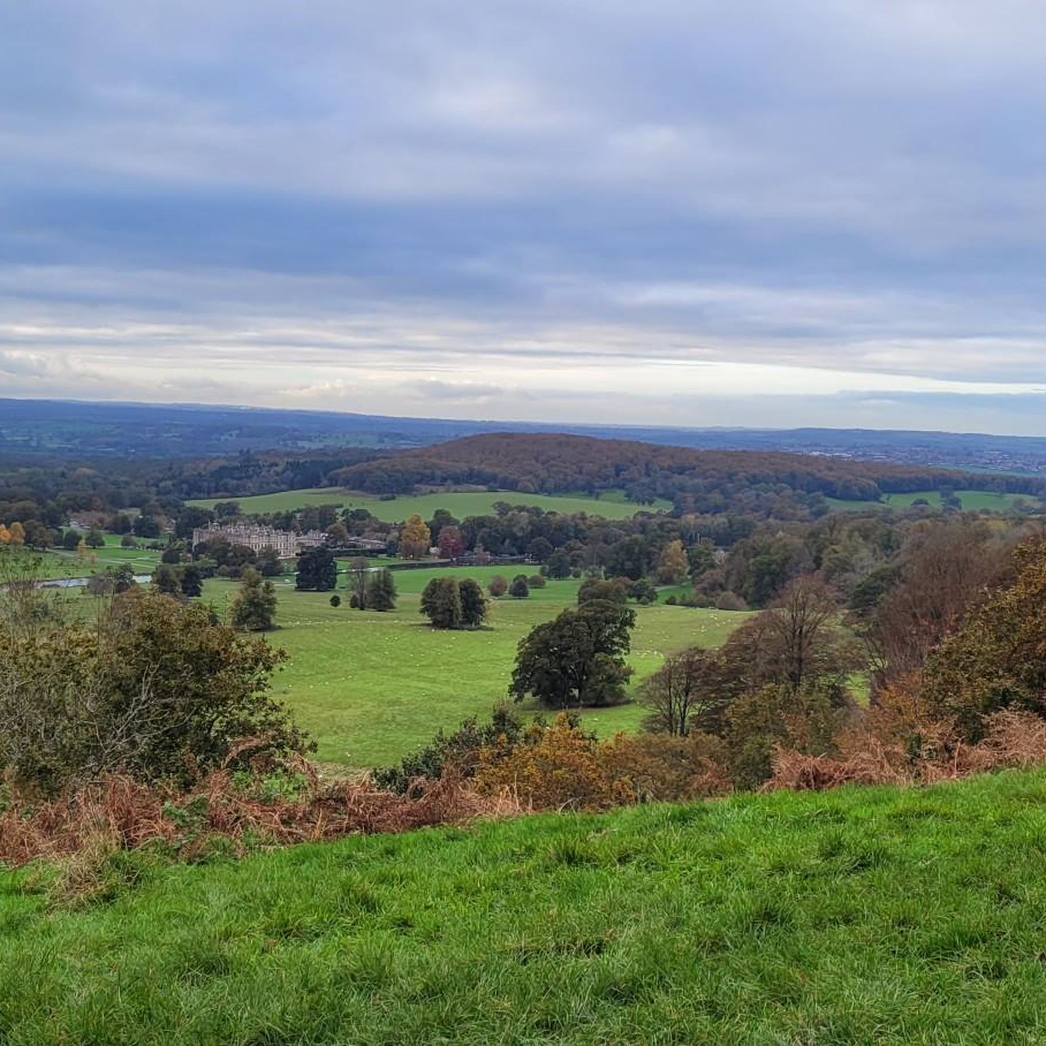
Amazing views of the hills. If your lucky you can see the gliders circling above from the Wing Farm Airfield
0
0

an absolutely beautiful halfway point to sit and have a snack or two. the views are breathtaking.
0
0

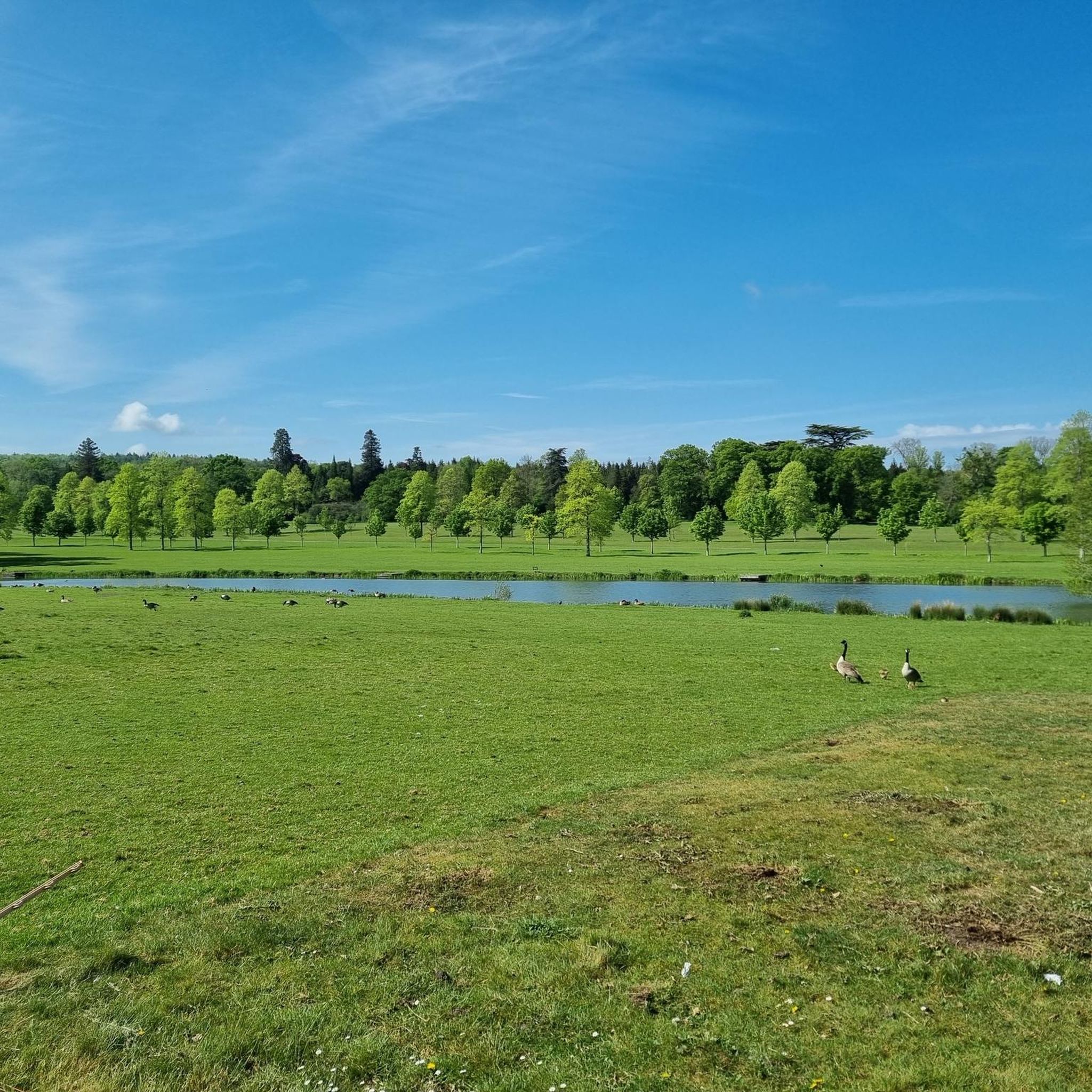
Cold Kitchen Hill has a trig point at 257 m. Alfred's Tower at Stourhead is visible, as well as vast swathes of Wiltshire and the West Country.
0
0
Cley Hill stands proud of the surrounding flatlands at 244 m high. There is a trig point, awesome views and steep sided trails to run. It's an important area of chalk downland managed by the National Trust for the plants and insects which live here. Cley Hill is also famous for UFO sightings and crop circles, so keep an eye out :-)
0
0

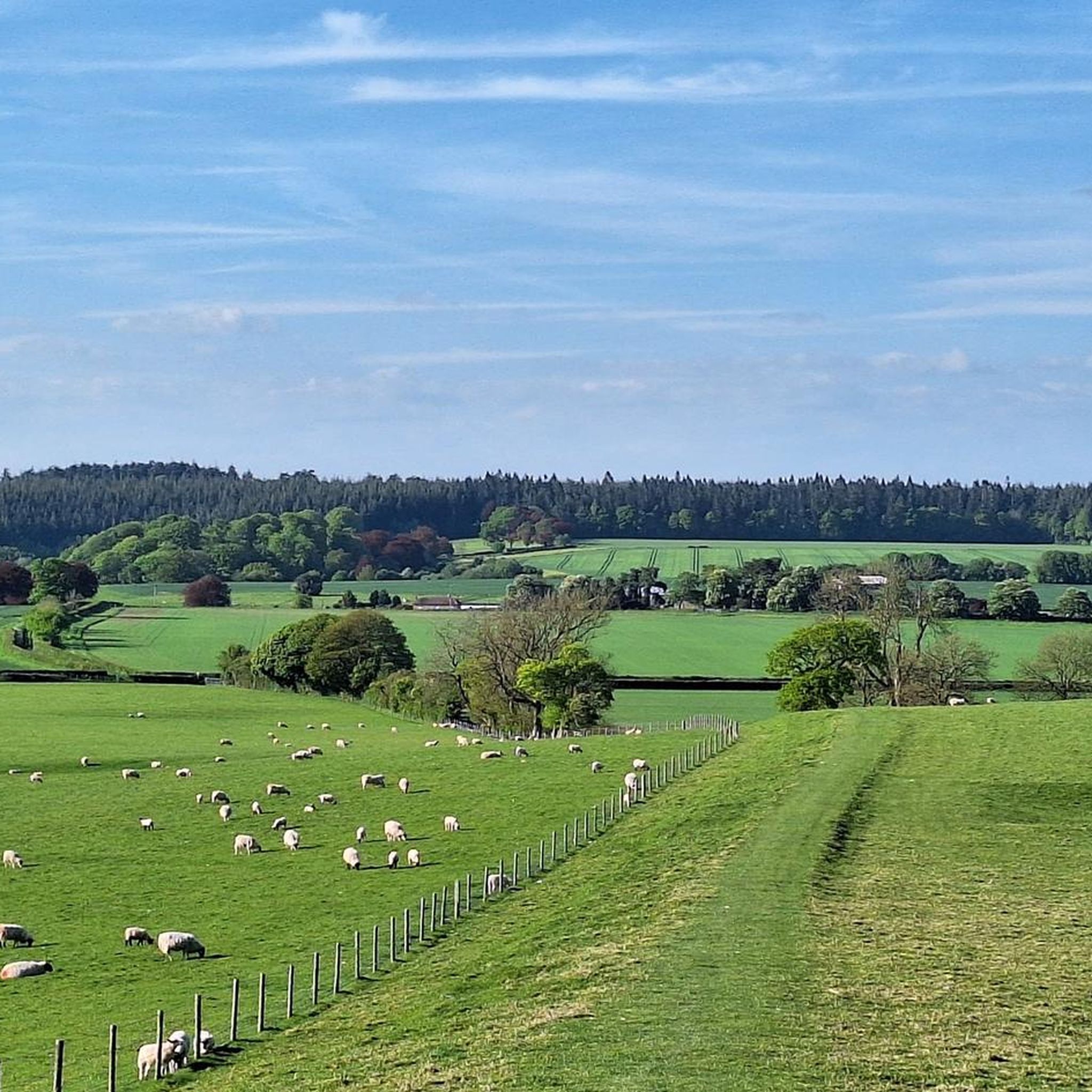
Set amidst classic Wiltshire countryside of rolling chalk downland dotted with ancient remnants of human habitation, Cold Kitchen Hill rises above the Deverills - a series of villages set along the valley of the River Deverill. Head for the trig point at the top.
0
0
Upton Cow Down is a 16.4 hectare biological Site of Special Scientific Interest on the western edge of Salisbury Plain and overlooking the village of Upton Scudamore. The down is an area of chalk grassland, covered in wildflowers and pollinators over the summer months.
0
0

A fun section. Quite exposed and not loads of grip on a gravel bike in December, but I liked it!
0
0
Frequently Asked Questions
What are the most popular elevated points around Horningsham?
The area around Horningsham features several popular elevated points and hills rather than dramatic mountains. Among the most appreciated are Cold Kitchen Hill Trig Point, known for its expansive views of Wiltshire and the West Country, and Cley Hill, an important area of chalk downland offering impressive views of Somerset and Wiltshire.
Are there family-friendly walks among the peaks near Horningsham?
Yes, several elevated spots around Horningsham are suitable for families. Cley Hill is a great short walk for all the family, offering amazing views. Additionally, Hose Gate Road Summit features forest tracks that are family-friendly and suitable for cycling.
What kind of natural features can I expect to see on these elevated points?
The elevated terrain around Horningsham is characterized by chalk grasslands and open moorland. You'll find diverse landscapes, including areas like Upton Cow Down, which is a Site of Special Scientific Interest known for its chalk grassland, wildflowers, and pollinators during summer months. Many points offer expansive views across the surrounding Wiltshire landscape, including the Blackmoor Vale and Salisbury Plain.
Are there any historical sites on or near these elevated points?
Yes, the region has historical significance. For instance, Middle Hill, a conical chalk hill, features an ancient and sizable bowl barrow atop its summit. Cley Hill is also considered an important area of chalk downland with historical context.
What outdoor activities can I do near the elevated points around Horningsham?
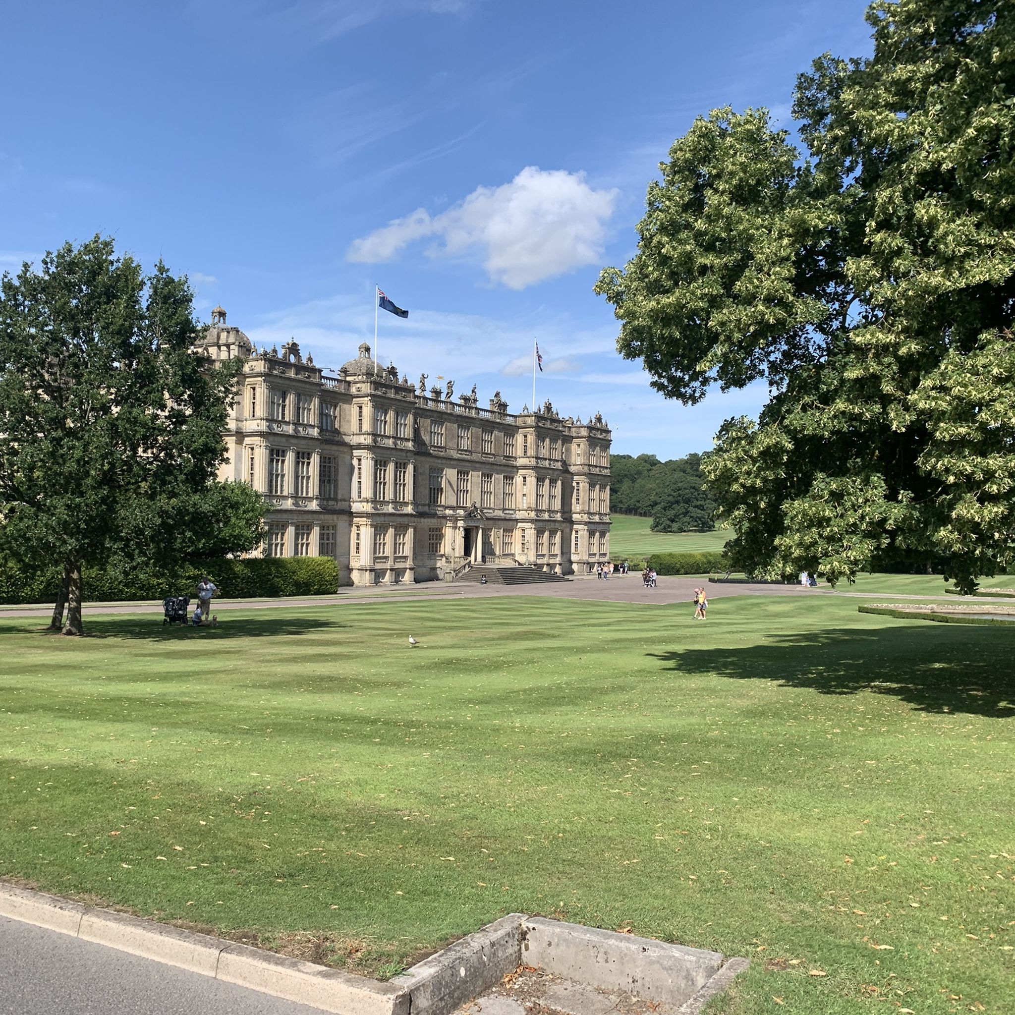
The area offers a variety of outdoor activities. You can enjoy hiking on trails like the 'Cold Kitchen Hill Trig Point – Barn on Cranborne Chase loop' or the 'Shearwater Lake loop from Horningsham'. For cycling, there are routes such as the 'Longleat House – Longleat House Drive loop from Horningsham' or the 'Bike loop from Cley Hill'. You can find more details on these and other routes in the Hiking around Horningsham and Cycling around Horningsham guides.
What is the best time to visit the elevated points around Horningsham?
The region is beautiful year-round, but spring and summer are particularly pleasant for experiencing the chalk grasslands and wildflowers, especially at sites like Upton Cow Down. Clear days offer the best chance for expansive views from viewpoints like Cold Kitchen Hill Trig Point, which can extend across the Blackmoor Vale, Salisbury Plain, and even to the Isle of Wight.
Are dogs allowed on the trails around Horningsham's elevated points?
Many trails in the Horningsham area are dog-friendly, allowing you to explore with your canine companion. However, it's always advisable to keep dogs on a leash, especially in areas with livestock or sensitive wildlife, and to check specific rules for estates like Longleat or protected areas within the Cranborne Chase AONB.
Where can I find parking for these elevated points?
Parking availability varies by location. For popular spots like Cold Kitchen Hill Trig Point or areas near Shearwater Lake, designated parking areas are usually available. For other elevated points, roadside parking or small lay-bys might be an option. Always check local signage for restrictions.
What makes Horningsham Common a notable elevated feature?
Horningsham Common, while not a traditional mountain, is a prominent elevated feature reaching 229 meters (751 feet) with a prominence of 31 meters. It offers the experience of a summit in a picturesque rural setting, providing tranquil moderate hikes and good views of the surrounding Wiltshire landscape.
Are there any less crowded elevated points to explore near Horningsham?
While popular spots like Cley Hill attract visitors, the wider area of the Cranborne Chase and West Wiltshire Downs AONB offers numerous elevated points and trails. Exploring lesser-known hills such as Brimsdown Hill or Roddenbury Hill, which are part of the varied topography, can provide a quieter experience away from the main tourist paths.
What are the views like from the elevated points around Horningsham?
The views from the elevated points around Horningsham are often breathtaking. From locations like Cold Kitchen Hill Trig Point and Cley Hill, you can expect expansive panoramas across Wiltshire, Somerset, the Blackmoor Vale, and Salisbury Plain. On exceptionally clear days, it's even possible to see as far as the Isle of Wight.
Can I find cafes or pubs near the elevated points for refreshments?
Horningsham village itself offers options for cafes and pubs. While not directly on every elevated point, many trails and routes will pass through or near villages where you can find refreshments. It's a good idea to plan your route to include stops in nearby settlements for a break.
Most popular routes around Horningsham
Most popular attractions around Horningsham

Get inspired with the komoot mobile app


Explore more
See even more amazing summits around Horningsham with these guides:
