The best running trails around Norton Bavant
4.1
(23)
2,376
runners
169
runs
Jogging routes around Norton Bavant traverse a landscape characterized by chalk uplands, river valleys, and ancient historical sites. The area features the scenic Wylye Valley with its riverside paths, alongside significant chalk hills such as Scratchbury Hill and Cotley Hill. These natural features provide a variety of scenic and engaging running routes, from easier, flatter sections to more challenging climbs.
Best jogging routes around Norton Bavant
- The most popular jogging route is Knook Horse Hill & Wessex Ridgeway loop from…
Last updated: May 20, 2026
1
runners
Hard run. Very good fitness required. Mostly paved surfaces. Suitable for all skill levels.
45
runners
7.09km
00:44
50m
50m
Moderate run. Good fitness required. Mostly paved surfaces. Suitable for all skill levels.

Sign up for free
31
runners
7.86km
00:53
170m
170m
Moderate run. Good fitness required. Mostly paved surfaces. Suitable for all skill levels.
19
runners
8.00km
00:53
120m
120m
Moderate run. Good fitness required. Mostly paved surfaces. Suitable for all skill levels.
4.0
(1)
15
runners
12.2km
01:25
300m
300m
Hard run. Very good fitness required. Mostly paved surfaces. Suitable for all skill levels.
Get access to more routes and recommendations from other explorers.
Sign up for free
Already have an account?
Our route recommendations are based on thousands of hikes, rides, and runs completed by other people on komoot.
Start today with a free account
Your next adventure awaits.
Login or Signup
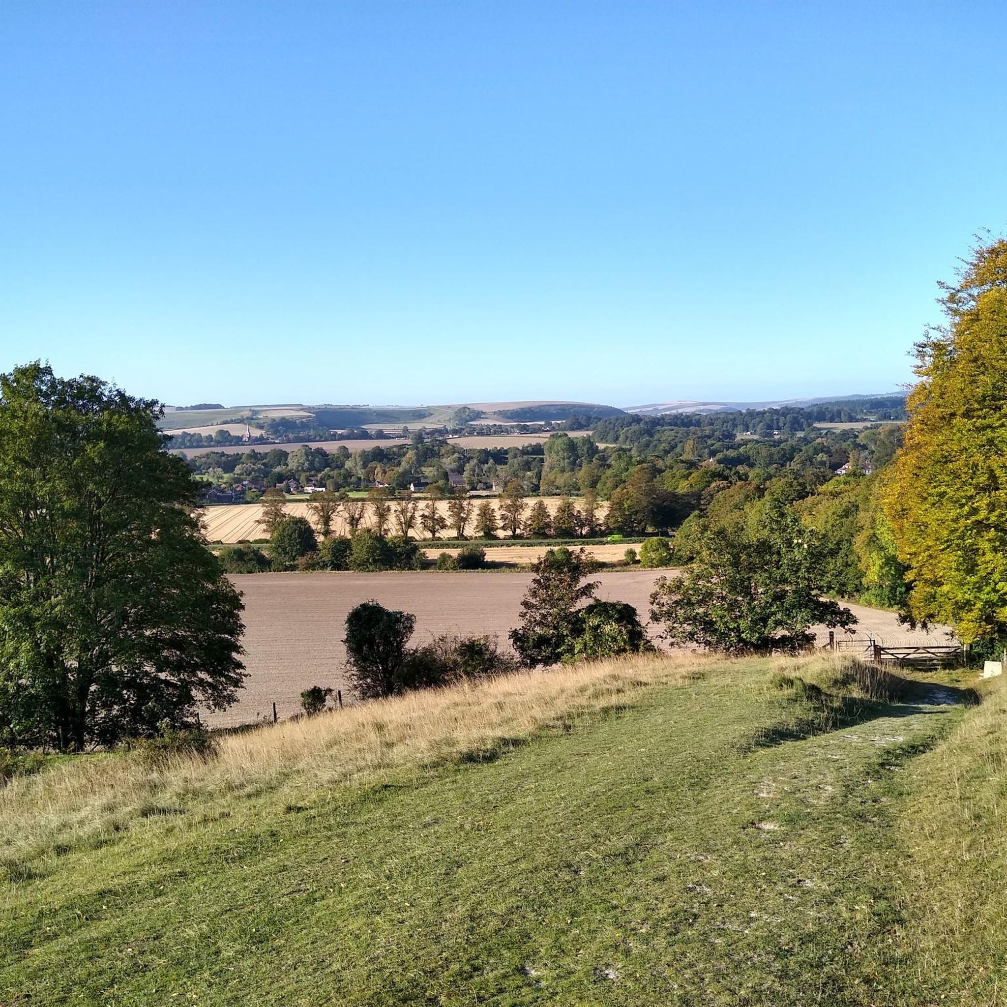
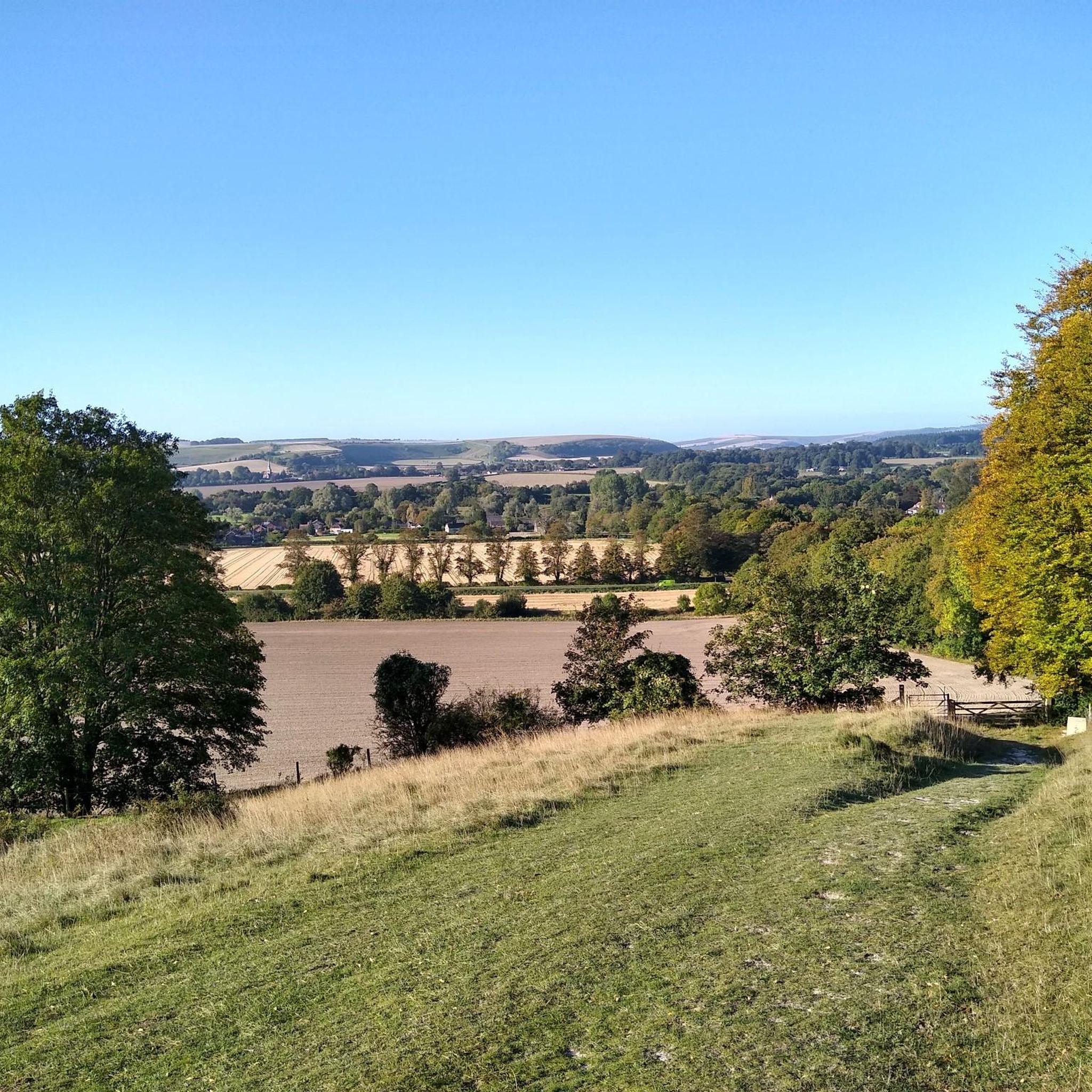
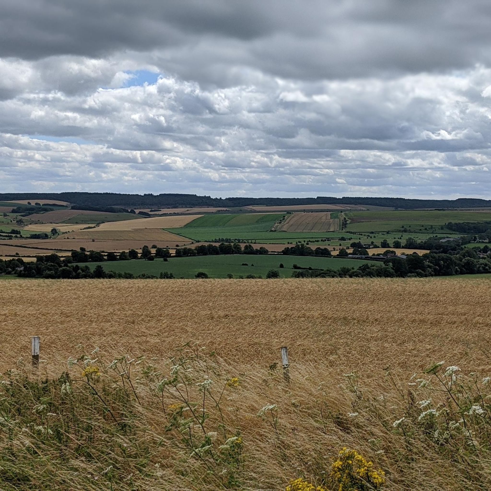
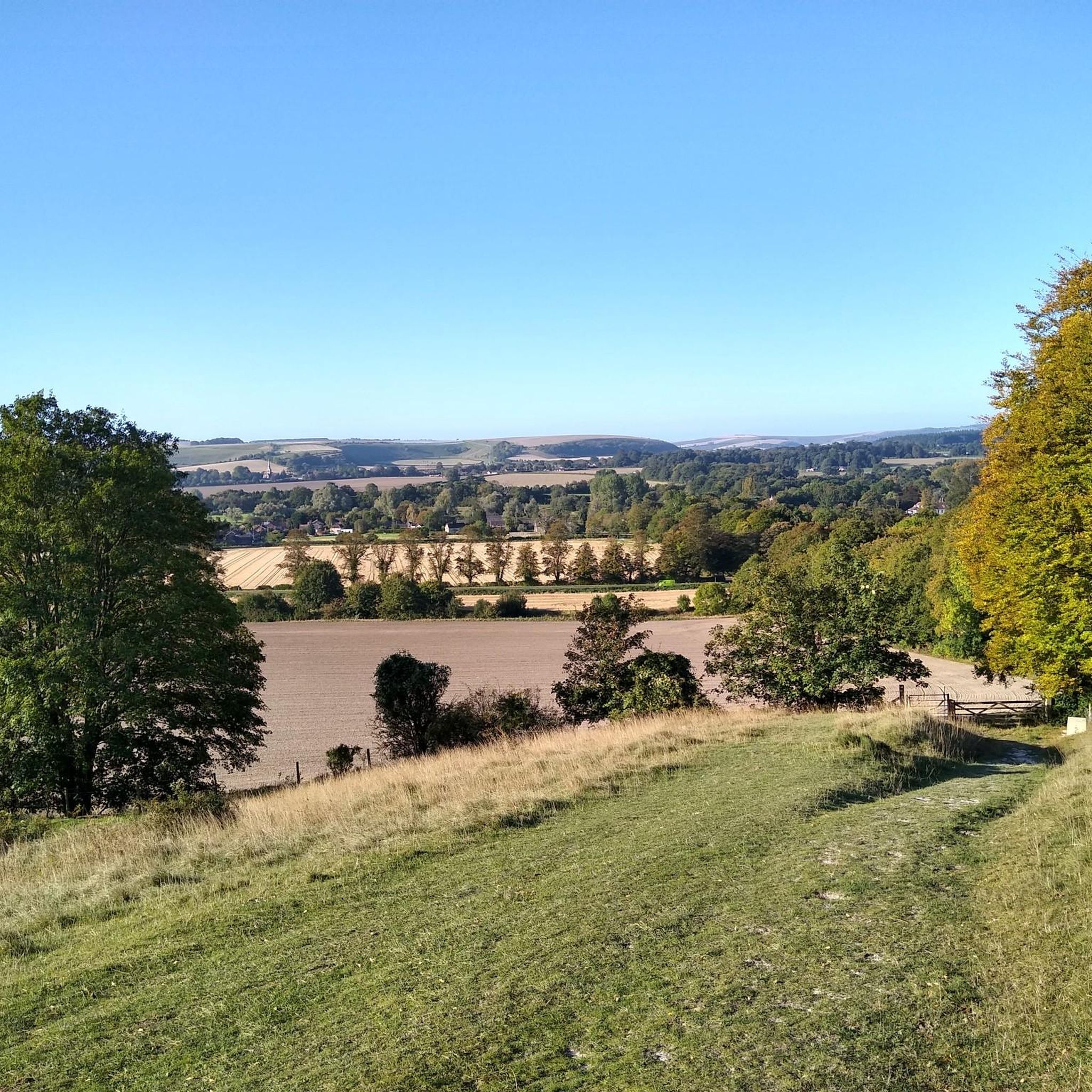

Tips from the Community

take a turn off the B3414 to visit the Iron Age hillfort of Scratchbury, 1km or so off the main road and immerse yourself in a scene of unparalleled peace and tranquility
0
0

The Wessex Ridgeway Trail follows a brilliant gravel track from the Wylye valley up to the Great Ridge. It's easy and fun traffic free running.
0
0
Knook Horse Hill stands at 178 m to the south-east of the Imber Range. It's a good climb up from the River Wylye and makes a nice loop from Heytesbury.
0
0
Knook Horse Hill stands at 178 m to the south-east of the Imber Range. It's a good climb up from the River Wylye and makes a nice looping walk from Heytesbury.
0
0
Battlesbury Hill has a trig point at 208 m. It's ringed by the earthworks of the old Iron Age hill fort which once crowned this hill. Today it's one of the hills at the western end of the Salisbury Plain and the Imber Range.
0
0

Run past the farm house & just follow the route. Slight cut at end, but a great path to run/walk.
0
0

A beautiful ruin with audio tour available via a qr code
0
0

Middle Hill, nicknamed locally as ‘piggy in the middle’, is a conical chalk hill that stands between Battlesbury Hill to the northwest and Scratchbury to the southeast. This row of hills is on the southwestern edge of Salisbury Plain overlooks the Wylye valley. Atop the hill you find an ancient and sizable bowl barrow.
1
0
Frequently Asked Questions
How many running routes are available around Norton Bavant?
There are over 175 running routes around Norton Bavant, offering a wide variety of options for all fitness levels. These include 23 easy routes, 118 moderate routes, and 34 difficult trails.
What kind of landscapes can I expect on the jogging routes around Norton Bavant?
Jogging routes around Norton Bavant traverse diverse landscapes, including the scenic Wylye Valley with its pleasant riverside paths, challenging chalk uplands like Scratchbury Hill and Cotley Hill, and sections of wooded areas. You'll find a mix of flat terrain and significant climbs.
Are there any historical sites or landmarks to see while running?
Yes, the area is rich in history. Many routes pass by ancient sites such as Iron Age hill forts like Scratchbury Camp and Battlesbury Camp, and numerous Bronze Age barrows. You can also find landmarks like Middle Hill, which is topped with a bowl barrow, and the Cold Kitchen Hill Trig Point offering historical interest.
Are there routes with good viewpoints for scenic runs?
Absolutely. The chalk downs around Norton Bavant, including Scratchbury Hill, Cotley Hill, and Middle Hill, offer rewarding panoramic views. The Knook Horse Hill & Wessex Ridgeway loop, for example, incorporates sections with far-reaching vistas, especially eastwards towards Salisbury Plain.
Are there routes suitable for beginners or easy runs?
Yes, there are 23 easy running routes around Norton Bavant. The Wylye Valley offers pleasant riverside paths that are generally flatter and ideal for easier, more relaxed runs. These paths are often easily accessible and suitable for various skill levels.
Are there challenging running trails for experienced runners?
For experienced runners seeking a challenge, Norton Bavant offers 34 difficult trails. Routes that climb the significant chalk hills like Scratchbury Hill and Cotley Hill provide demanding ascents and descents. The Knook Horse Hill & Wessex Ridgeway loop is a difficult 14.6-mile trail with significant elevation gain.
Can I find circular running routes in the area?
Yes, many of the running routes around Norton Bavant are circular, allowing you to start and end at the same point. Examples include The Range Road loop from Warminster and the Middle Hill – The Range Road loop from Bishopstrow, which are popular choices for local runners.
What do other runners say about the jogging routes in Norton Bavant?
The running routes in Norton Bavant are highly rated by the komoot community, with an average score of 4.1 stars from over 20 reviews. Runners often praise the varied terrain, from tranquil river paths to challenging hill climbs, and the historical points of interest along the way.
Is parking available near the running routes?
While specific parking details vary by route, many trailheads and popular starting points in and around Norton Bavant, such as those near Warminster or Bishopstrow, offer parking facilities. It's advisable to check individual route descriptions for precise parking information.
What is the best time of year for running in Norton Bavant?
Spring and early summer are particularly beautiful times for running in Norton Bavant. The chalk downland around Scratchbury Hill, for instance, is home to a rich variety of flora, including cowslips, harebells, and trefoil, adding to the scenic beauty of your run.
Are the running trails around Norton Bavant dog-friendly?
Many of the public footpaths and trails in the Wiltshire countryside, including those around Norton Bavant, are dog-friendly. However, it's always recommended to keep dogs under control, especially when passing through livestock fields or nature reserves. Check specific route details for any restrictions.
How accessible are the routes by public transport?
Norton Bavant is a rural village, so public transport options might be limited directly to all trailheads. However, nearby towns like Warminster have better public transport links, and some routes, such as those starting from Warminster or Heytesbury, may be more accessible via bus services. It's best to plan your journey in advance.
Most popular attractions around Norton Bavant

Get inspired with the komoot mobile app


Explore more
Browse the best Running Trails & Routes in other regions.
