The best walks and hikes around Bassin du Lampy Neuf
4.4
(335)
1,789
hikers
73
hikes
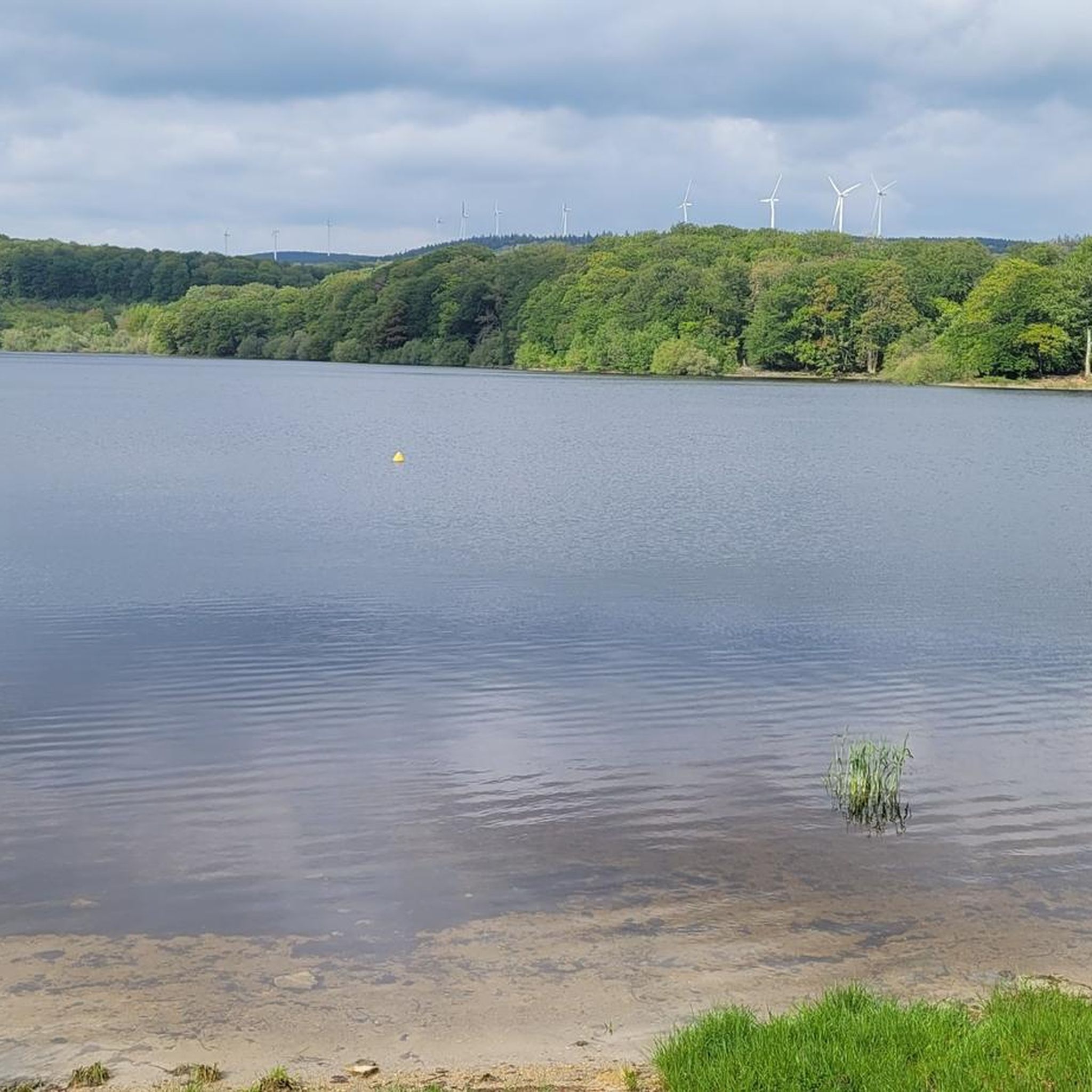
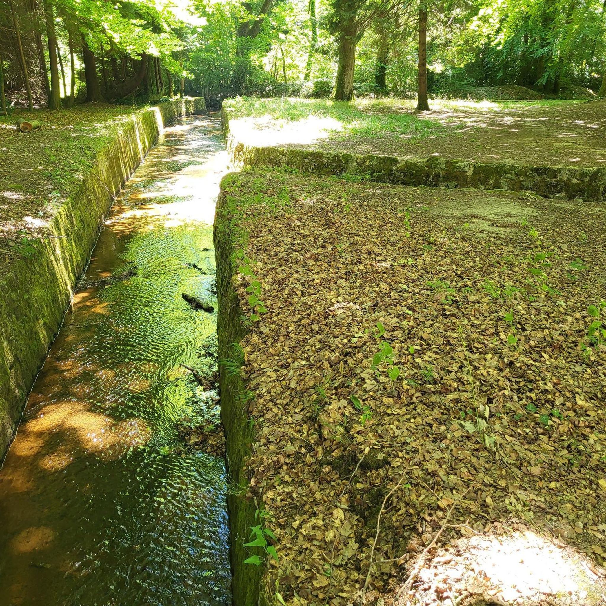
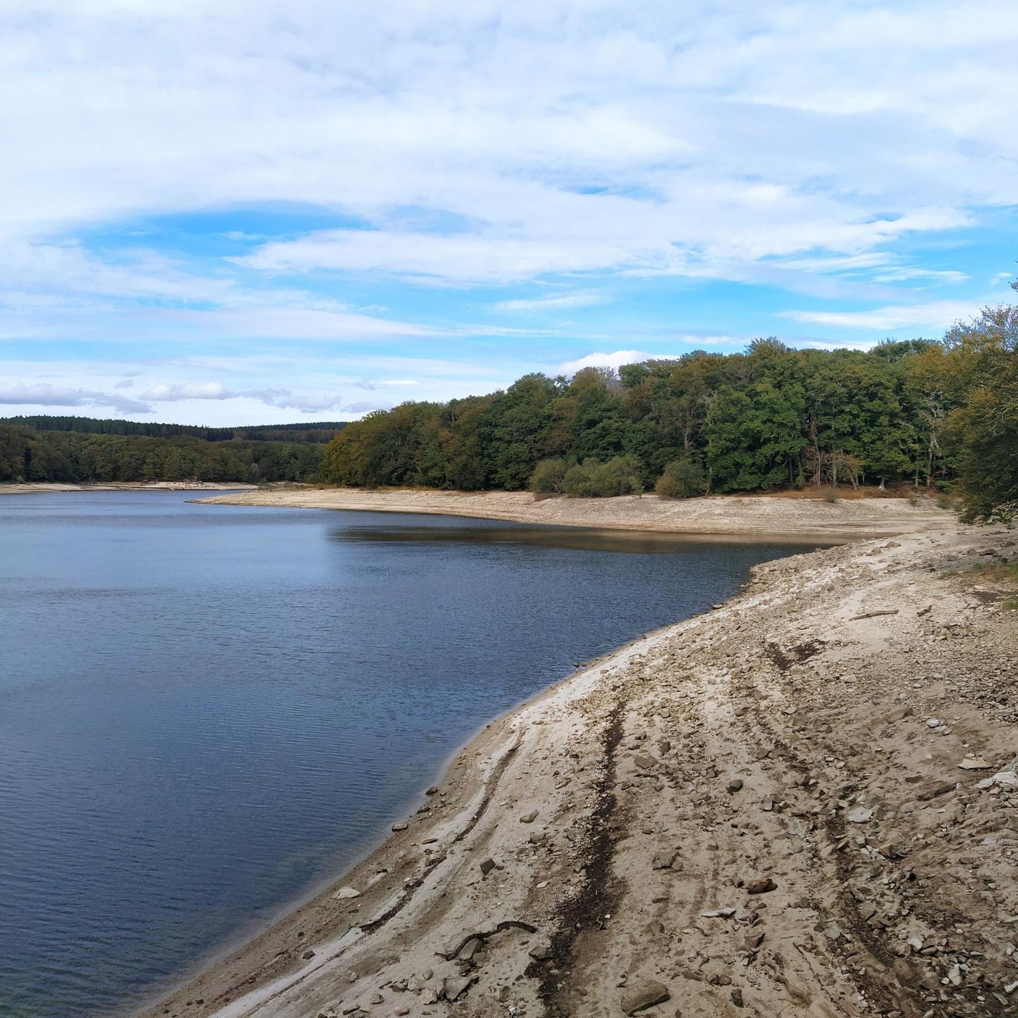
Hiking around Bassin du Lampy Neuf offers diverse landscapes within the Montagne Noire region of south-central France. The area is centered around the artificial reservoir, a key water supply for the Canal du Midi, and features the historic La Rigole de la Montagne Noire channel. Much of the terrain is characterized by sheltered deciduous beech forests, providing a pleasant environment for trails.
Best hiking trails around Bassin du Lampy Neuf
- The most popular hiking route is Lampy Neuf Reservoir –…
Last updated: July 9, 2026
4.5
(4)
25
hikers
19.6km
05:26
360m
360m
Hard hike. Very good fitness required. Easily-accessible paths. Suitable for all skill levels.
4.4
(7)
15
hikers
Hard hike. Very good fitness required. Easily-accessible paths. Suitable for all skill levels.

Sign up for free
4.0
(1)
13
hikers
11.1km
02:59
120m
120m
Moderate hike. Good fitness required. Easily-accessible paths. Suitable for all skill levels.
2
hikers
6.74km
01:49
80m
80m
Easy hike. Great for any fitness level. Easily-accessible paths. Suitable for all skill levels.
4.8
(6)
77
hikers
4.86km
01:17
40m
40m
Easy hike. Great for any fitness level. Easily-accessible paths. Suitable for all skill levels.
Get access to more routes and recommendations from other explorers.
Sign up for free
Already have an account?
Our route recommendations are based on thousands of hikes, rides, and runs completed by other people on komoot.
Start today with a free account
Your next adventure awaits.
Login or Signup
Tips from the Community

The Alzeau dam (or d'Alzau[1]), located in the commune of Arfons, in the Tarn[2], is the starting point of the rigole de la Montagne, which then feeds the Canal du Midi. It is located on the border with the Aude department, and is accessible via the commune of Lacombe. (Wikipedia)
0
0
A beautiful destination for hikers and mountain bikers! Leisurely tours and sporty options to the Prise d'Alzeau
0
0
The Cammazes Dam is located in the Montagne Noire massif in the Tarn department. It provides a drinking water reserve for the municipalities around Revel. Built between 1954 and 1957 and commissioned in 1958, the Cammazes Dam is located on the Sor River, between the municipalities of Cammazes and Sorèze in the Tarn department, and the municipality of Saissac in the Aude department. It forms Lake Cammazes, which also receives excess water from the mountain channel via the Conquet spillway. The structure is intended for drinking water supply and irrigation. It supplies 200 municipalities, representing over 170,000 inhabitants. The surface area of the body of water is approximately 90 hectares. Its reservoir volume is 18.8 million cubic meters; the watershed area is 30 km². The operator is the Montagne Noire Water Institution. The water is piped to the Picotalen treatment plant. It also serves as a reserve for the Canal du Midi via a water intake feeding the mountain channel (water rights of 4 million cubic meters) (Wikipedia)
0
0

8.5 km, 2 hours of pleasant, shaded hiking
0
0

Nice and not very difficult unless there is an Autan wind
0
0
Frequently Asked Questions
How many hiking trails are available around Bassin du Lampy Neuf?
There are over 70 hiking trails around Bassin du Lampy Neuf, offering a wide range of options for different skill levels and preferences. You'll find everything from easy strolls to more challenging routes.
Are there easy hiking options suitable for beginners or families?
Yes, Bassin du Lampy Neuf offers 25 easy hiking routes perfect for beginners or families. These trails often feature shaded paths through beech forests and gentle inclines, making them enjoyable for all ages. An example is the Bassin du Lampy Neuf – loop from Lampy Vieux, which is just under 5 km.
What kind of terrain can I expect on hikes around Bassin du Lampy Neuf?
The terrain around Bassin du Lampy Neuf is diverse, characterized by sheltered deciduous beech forests, serene lake views, and paths along the historic La Rigole de la Montagne Noire channel. You'll encounter gentle slopes and some more challenging ascents, especially on routes extending into the Montagne Noire foothills.
What natural features or historical sights can I discover while hiking?
Hikers can explore several notable features, including the artificial reservoir itself, the impressive 18th-century dam built from granite blocks, and the historic La Rigole de la Montagne Noire, which supplies water to the Canal du Midi. You might also find the remains of the older 'Lampy Vieux' dam and a rehabilitated 19th-century arboretum with various tree species.
Are there any circular hiking routes around Bassin du Lampy Neuf?
Yes, many of the most popular routes around Bassin du Lampy Neuf are circular. For instance, the La Rigole de la Montagne Noire – Lampy Neuf Reservoir loop from Plage du Lampy is an easy 6.7 km loop that combines the reservoir with the historic water channel.
Is Bassin du Lampy Neuf a dog-friendly hiking destination?
Yes, Bassin du Lampy Neuf is generally dog-friendly. Many trails wind through shaded forests, providing a pleasant environment for dogs. It's always recommended to keep your dog on a leash, especially near wildlife or other hikers, and to clean up after them.
What is the best time of year to go hiking in Bassin du Lampy Neuf?
The best time to hike in Bassin du Lampy Neuf is typically from spring through autumn. The deciduous beech forests provide excellent shade during warmer months, making summer hiking pleasant. Spring and autumn offer vibrant colors and comfortable temperatures. Winter hiking is possible, but some paths might be muddy or slippery.
Are there places to park near the hiking trails?
Yes, there are designated parking areas available, such as at Aire Bassin du Lampy and Plage du Lampy, which serve as common starting points for many trails. These spots provide convenient access to the reservoir and surrounding paths.
What do other hikers enjoy most about hiking in Bassin du Lampy Neuf?
The area is highly rated by the komoot community, with an average score of 4.4 stars. Reviewers often praise the serene lake views, the peaceful, shaded forest paths, and the historical engineering marvels like the dam and La Rigole. The variety of routes for different ability levels is also frequently highlighted.
Can I swim in Bassin du Lampy Neuf?
Yes, Bassin du Lampy Neuf is a popular spot for swimming, especially during warm weather. It's a great way to cool off after a hike and enjoy the natural surroundings.
Are there any cafes or amenities near the hiking trails?
While the immediate area around the reservoir is primarily natural, there are designated picnic areas in the undergrowth. For cafes and more extensive amenities, you would typically find options in nearby villages like Arfons, which is traversed by the GR 7 long-distance hiking trail.
What is the historical significance of Bassin du Lampy Neuf?
Bassin du Lampy Neuf is an artificial reservoir built between 1777 and 1781, serving as a crucial water supply for the UNESCO World Heritage-listed Canal du Midi. Its historic dam is a testament to 18th-century engineering, and the area is also connected to La Rigole de la Montagne Noire, another vital part of the Canal's water system.
Most popular routes around Bassin du Lampy Neuf

Get inspired with the komoot mobile app


Explore more
Browse the best Hikes in other regions.
