The best walks and hikes around Étang d'Izourt
4.6
(732)
8,728
hikers
161
hikes
Hiking around Étang d'Izourt offers trails through a high mountain environment in the Ariège Pyrenees. The region is characterized by the emerald green waters of the barrage lake, surrounded by majestic peaks such as Pic de Tristagne and Pic de l'Étang Fourcat. Hiking trails traverse varied terrain, including lush forests of hazel and beech, alongside picturesque streams. Hikers can expect panoramic views of the valley and, depending on the season, snow-capped summits.
Best hiking trails around Étang d'Izourt
- The most…
Last updated: June 25, 2026
17
hikers
Hard hike. Very good fitness required. Sure-footedness, sturdy shoes and alpine experience required.
4.6
(14)
217
hikers
5.84km
02:57
480m
480m
Moderate hike. Good fitness required. Mostly accessible paths. Sure-footedness required.

Sign up for free
10
hikers
7.08km
03:21
510m
510m
Hard hike. Good fitness required. Sure-footedness, sturdy shoes and alpine experience required.
5.0
(1)
6
hikers
4.59km
02:27
380m
380m
Hard hike. Good fitness required. Sure-footedness, sturdy shoes and alpine experience required.
Hard hike. Good fitness required. Sure-footedness, sturdy shoes and alpine experience required.
Get access to more routes and recommendations from other explorers.
Sign up for free
Already have an account?
Our route recommendations are based on thousands of hikes, rides, and runs completed by other people on komoot.
Start today with a free account
Your next adventure awaits.
Login or Signup

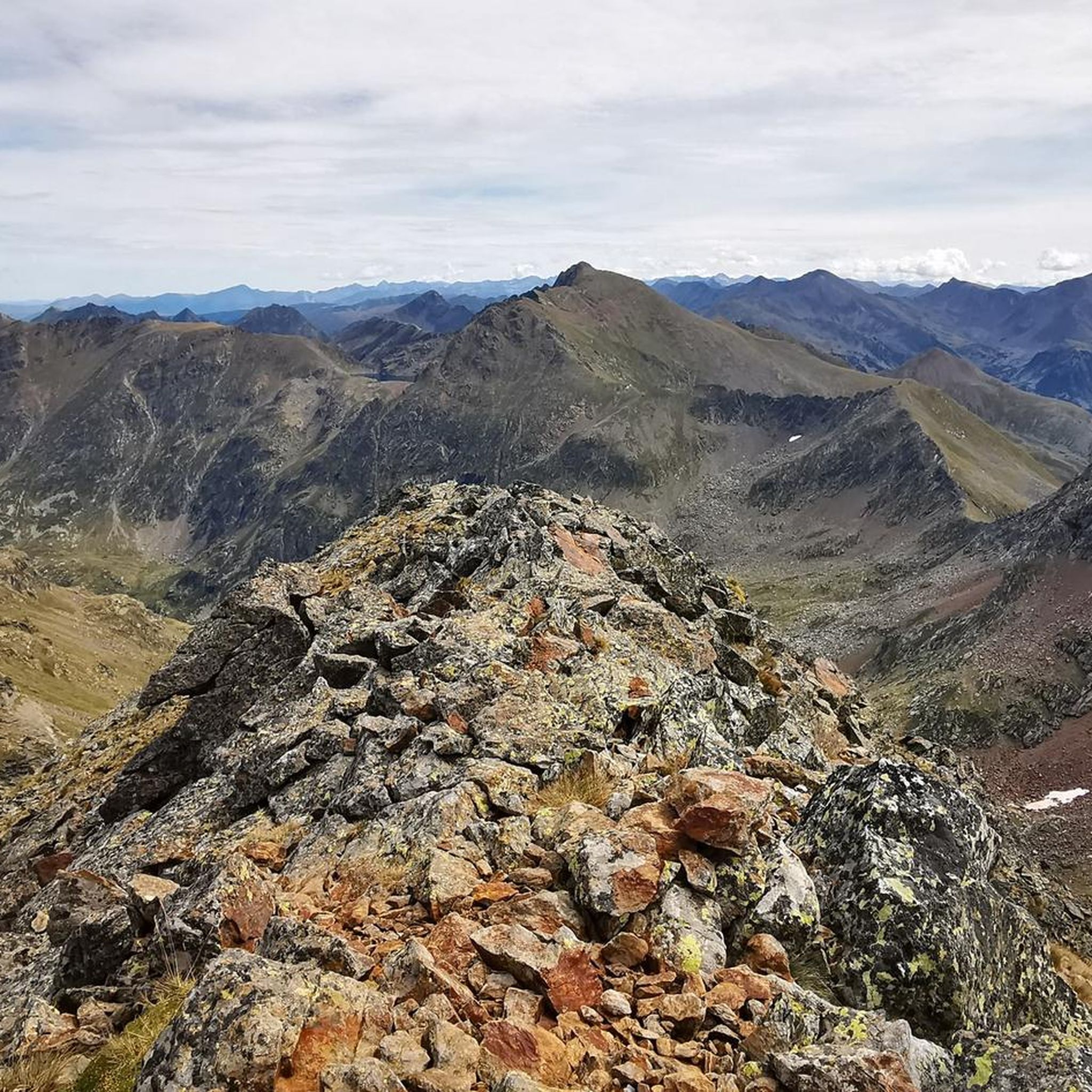
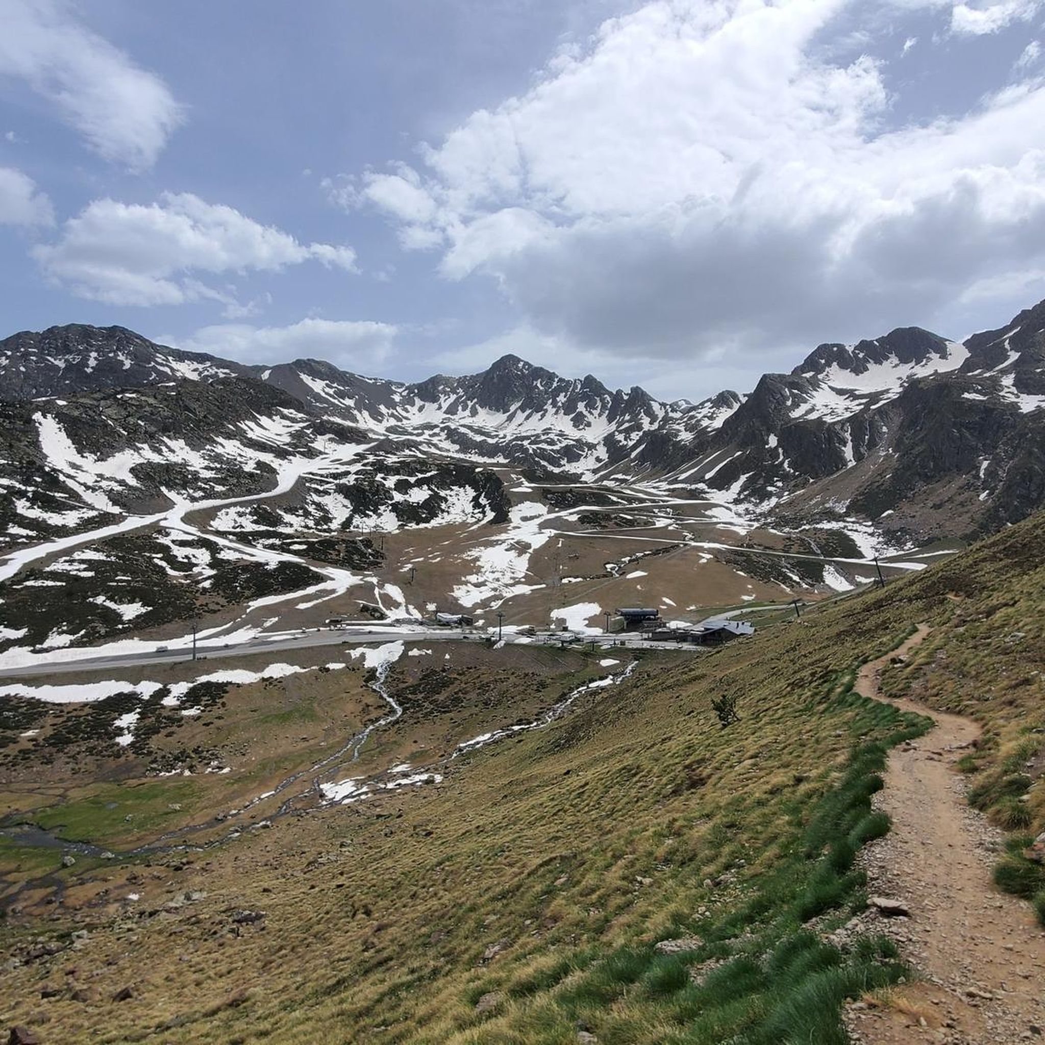
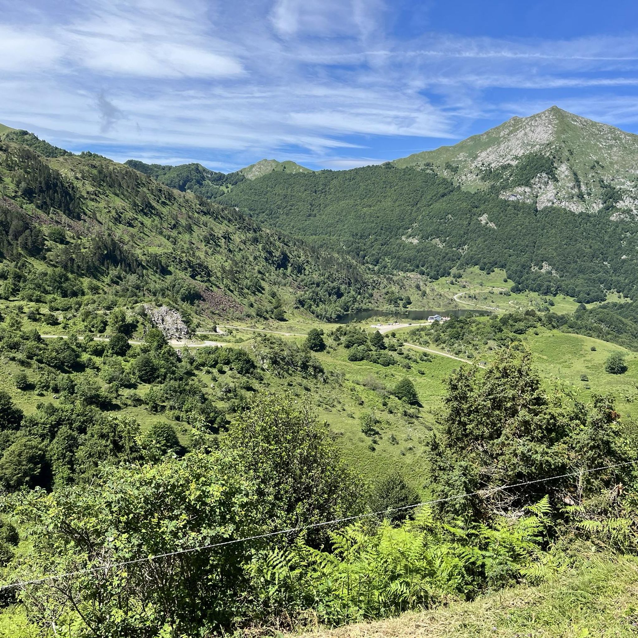
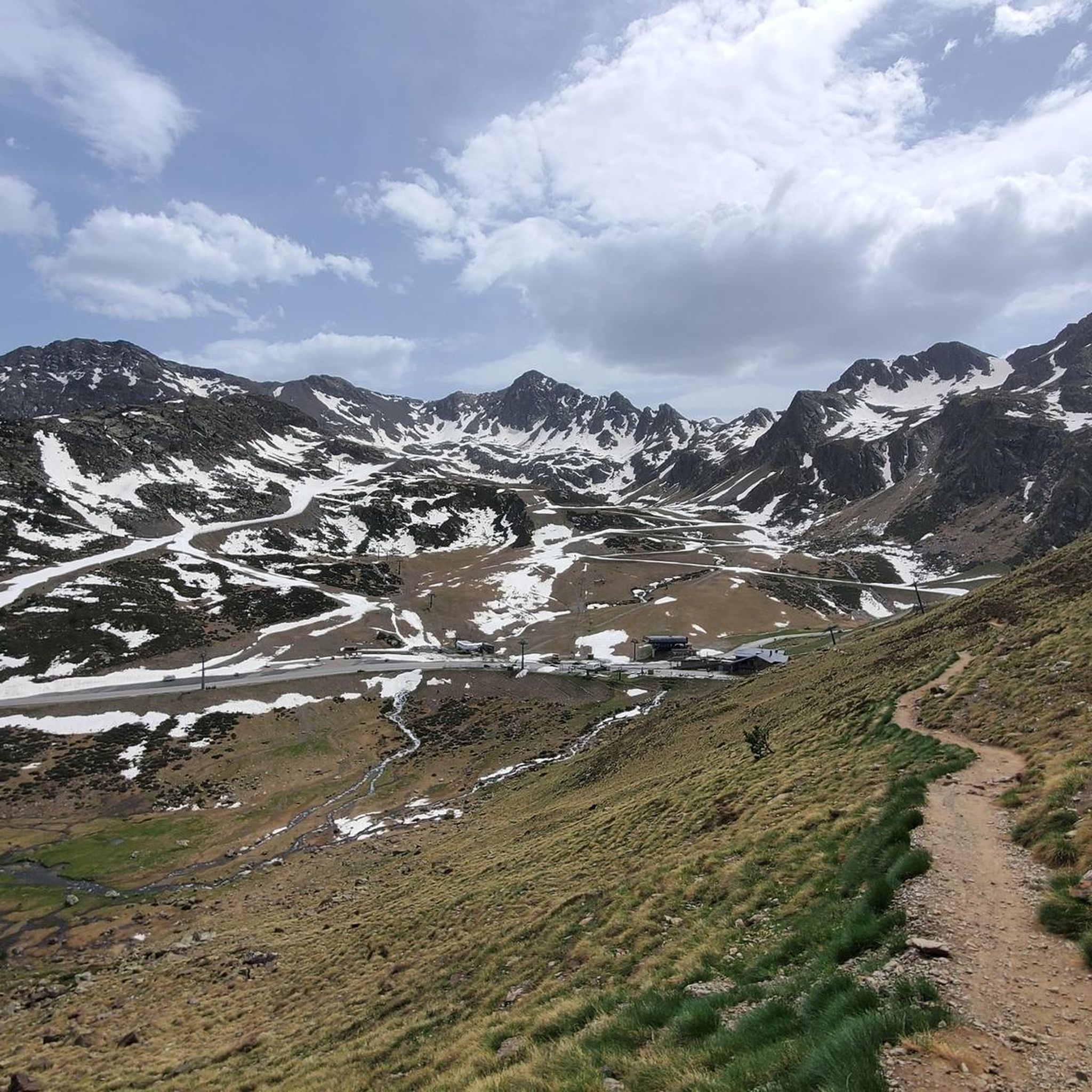

Other adventures around Étang d'Izourt

Tips from the Community

A beautiful, not too difficult summit on the national border 🇦🇩🇫🇷😃, but requiring some light scrambling 😃 in the summit area (⚠️ UIAA: I). Great view of the surrounding lakes 😃.
1
0

Very beautiful and photogenic lakes in a high valley, accessible only by long hikes/climbing. Therefore, they are not as crowded as the reservoir in the valley below. You'll often need your hands on the descent from the eponymous peak, Pic d'Étang Fourcat.
0
0

Mountain pass that separates these two areas that on one side is Andorra and the other, the French side. The same goes for the respective lakes, on one side the Fourcat lake and on the other, one of the Tristania lakes
0
0
This is the last of the lagoons that are under the feet of the peak of Tristania and consequently in its cirque. Beautiful view of the set of lakes that embrace this northern area of Andorra.
0
0

Beautiful hike, easy to access. However, there is work underway on the dam (August 2023). The lake has been emptied and there are Algecos installed at the finish. Avoid for the moment.
1
0

Pretty lake accessible from the beginning of April this year. Note that the return made by the other side is not marked but the path is obvious.
1
0

The large Fourcat pond is part of a group of three ponds: the Oussade pond, the large Fourcat pond and the small Fourcat pond downstream. A guarded refuge is located between the small and the large Fourcat pond.
0
0
The Izourt pond is an artificial body of water at an altitude of 1652 m on the Artiès stream. A small shelter is located near the dam.
1
0
Frequently Asked Questions
How many hiking trails are available around Étang d'Izourt?
There are over 150 hiking routes available around Étang d'Izourt, catering to a wide range of abilities. You'll find everything from moderate loops to challenging ascents in this high mountain environment.
What are the different difficulty levels of hikes in the Étang d'Izourt area?
The trails around Étang d'Izourt offer a variety of difficulty levels. You can find approximately 10 easy routes, 72 moderate routes, and 71 difficult routes. Easy trails are typically under two hours with up to 300 meters of elevation gain, while difficult routes can extend beyond five hours or involve more than 1,000 meters of elevation, requiring excellent fitness and alpine experience.
Are there any circular hiking routes around Étang d'Izourt?
Yes, there are several circular hiking routes. A popular moderate option is the Orri of La Coume Izourt – Izourt Pond loop from Centrale hydroélectrique de Pradières, which is 5.8 km long. Another option is the Étang de la Oussade – View of Estany de Fourcat loop from Tristaina / Tristagne, a 6.7 km trail through high mountain terrain.
What natural features and landmarks can I expect to see while hiking around Étang d'Izourt?
Hikers can expect stunning natural beauty, including the emerald green and turquoise waters of Étang d'Izourt itself, surrounded by majestic peaks like Pic de Tristagne and Pic de l'Étang Fourcat. The trails traverse varied terrain, from lush forests of hazel and beech to picturesque streams. You'll also find remnants of old construction buildings and commemorative panels along the 'Chemin de la Mémoire,' which marks a tragic historical event during the dam's construction.
What do other hikers say about the trails around Étang d'Izourt?
The routes in Étang d'Izourt are highly rated by the komoot community, with an average score of 4.6 stars from over 700 reviews. Hikers often praise the stunning mountain scenery, the beautiful lake, and the diverse terrain that offers challenges for various skill levels.
Is Étang d'Izourt suitable for family hikes?
While many trails are moderate to difficult, there are easy options available, making it possible for families to enjoy the area. Look for trails with shorter distances and less elevation gain, typically under two hours, which are suitable for all skill levels. Always check the specific route details for suitability before heading out with children.
Can I hike with my dog around Étang d'Izourt?
Generally, dogs are welcome on trails in the Pyrenees, but it's always best to keep them on a leash, especially in areas with livestock or protected wildlife. Be mindful of the terrain and duration of the hike, as some routes can be challenging for pets. Always carry enough water for both yourself and your dog.
Where can I park for hikes to Étang d'Izourt?
Parking is typically available near the starting points of many trails, such as at the Centrale hydroélectrique de Pradières. It's advisable to arrive early, especially during peak season, as parking can fill up quickly. Always check local signage for any restrictions or fees.
Are there any less crowded hiking alternatives near Étang d'Izourt?
While Étang d'Izourt is popular, the broader Ariège Pyrenees region offers many trails. If you're looking for a different experience, consider exploring other nearby lakes or valleys. The area has 153 total tours, so there are many options beyond the most frequented paths. You might find quieter routes by exploring trails that connect to the GR10 long-distance path but are not direct routes to the lake itself.
What is the best time of year to hike around Étang d'Izourt?
The best time to hike around Étang d'Izourt is generally from late spring to early autumn (June to September) when the weather is most favorable and the trails are clear of snow. During these months, you'll experience lush forests and panoramic views. Early spring or late autumn can still be beautiful but may involve snow at higher elevations, requiring appropriate gear and experience.
Are there any facilities or shelters available near Étang d'Izourt?
Near Étang d'Izourt, hikers can find an unguarded refuge, which is an old EDF building. It's capable of accommodating about 10 people and is equipped with bunks, a chimney, and a water point, offering a basic but welcoming stop for those exploring the area.
What kind of terrain should I expect on the trails?
The terrain around Étang d'Izourt is varied, ranging from lush forests of hazel, beech, birch, and alder at lower elevations to more rugged, rocky paths as you ascend towards the peaks. You'll encounter picturesque streams, and some sections may be steep or require sure-footedness. Sturdy hiking shoes are recommended for most trails.
Most popular routes around Étang d'Izourt

Get inspired with the komoot mobile app


Explore more
Browse the best Hikes in other regions.
