The best walks and hikes around Grand Canal du Havre
4.5
(1259)
8,149
hikers
352
hikes
Hiking around Grand Canal du Havre offers a unique blend of industrial infrastructure and natural landscapes within the Seine estuary in Normandy, France. The area is characterized by its commercial waterway, views of the Seine where it meets the English Channel, and the prominent Pont de Normandie. Trails often feature a mix of urban scenery, port activity, and natural elements like reedbeds, providing diverse perspectives for outdoor activities.
Best hiking trails around Grand Canal du Havre
- The most popular hiking…
Last updated: July 9, 2026
3.9
(7)
27
hikers
9.63km
02:25
10m
10m
Moderate hike. Good fitness required. Easily-accessible paths. Suitable for all skill levels.
4.4
(5)
21
hikers
9.85km
02:29
10m
10m
Moderate hike. Good fitness required. Easily-accessible paths. Suitable for all skill levels.

Sign up for free
4.0
(2)
25
hikers
Easy hike. Great for any fitness level. Easily-accessible paths. Suitable for all skill levels.
13
hikers
Easy hike. Great for any fitness level. Easily-accessible paths. Suitable for all skill levels.
2.5
(2)
10
hikers
5.76km
01:27
10m
10m
Easy hike. Great for any fitness level. Easily-accessible paths. Suitable for all skill levels.
Get access to more routes and recommendations from other explorers.
Sign up for free
Already have an account?
Our route recommendations are based on thousands of hikes, rides, and runs completed by other people on komoot.
Start today with a free account
Your next adventure awaits.
Login or Signup

Tips from the Community


Faced with the rapid increase in road traffic, the idea of a second bridge connecting the two banks of the Seine was born in 1972. The Normandy Bridge, which was opened on 26 January 1995, is a true engineering feat: 2141.25 m long, 23.60 m wide, pylons 214 m high, 7 years of work... and 10 million hours of work.
2
0


The Pont de Normandie (English: Normandy Bridge) is a cable-stayed bridge that has the longest span in Europe at 856 m. It crosses the Seine estuary and connects Le Havre (then Upper Normandy) on the right bank to the north with Honfleur (then Lower Normandy) on the left bank to the south. The bridge was built between 1988 and 1994 and was inaugurated on January 20, 1995. The 23.60 m wide bridge has a total length of 2141.25 m. It consists of the southern approach bridges with twelve spans and spans of 96.00 m + 9×43.50 m + 32.5 m + 3×70 m + 27.75 m (= 547.75 m), the northern approach bridges with 16 spans and spans of 96.00 m + 14×43.50 m + 32.50 m (= 737.50 m) and the 856 m large one main opening. The 3 m high superstructure of the main opening consists of a 624 m long central steel section, which is followed on both sides by 116 m long prestressed concrete sections. The pylons of the cable-stayed bridge are 203 m high and each carry 2×23 cables. The passage height for ships is 52 m at the highest known water level. Source: de.wikipedia.org/wiki/Pont_de_Normandie
3
0
The Pont de Normandie (English: Normandy Bridge) is a cable-stayed bridge that has the longest span in Europe at 856 m. It crosses the Seine estuary and connects Le Havre (then Upper Normandy) on the right bank to the north with Honfleur (then Lower Normandy) on the left bank to the south. The bridge was built between 1988 and 1994 and was inaugurated on January 20, 1995. The 23.60 m wide bridge has a total length of 2141.25 m. It consists of the southern approach bridges with twelve spans and spans of 96.00 m + 9×43.50 m + 32.5 m + 3×70 m + 27.75 m (= 547.75 m), the northern approach bridges with 16 spans and spans of 96.00 m + 14×43.50 m + 32.50 m (= 737.50 m) and the 856 m large one main opening. The 3 m high superstructure of the main opening consists of a 624 m long central steel section, which is followed on both sides by 116 m long prestressed concrete sections. The pylons of the cable-stayed bridge are 203 m high and each carry 2×23 cables. The passage height for ships is 52 m at the highest known water level. Source: https://de.wikipedia.org/wiki/Pont_de_Normandie
2
0

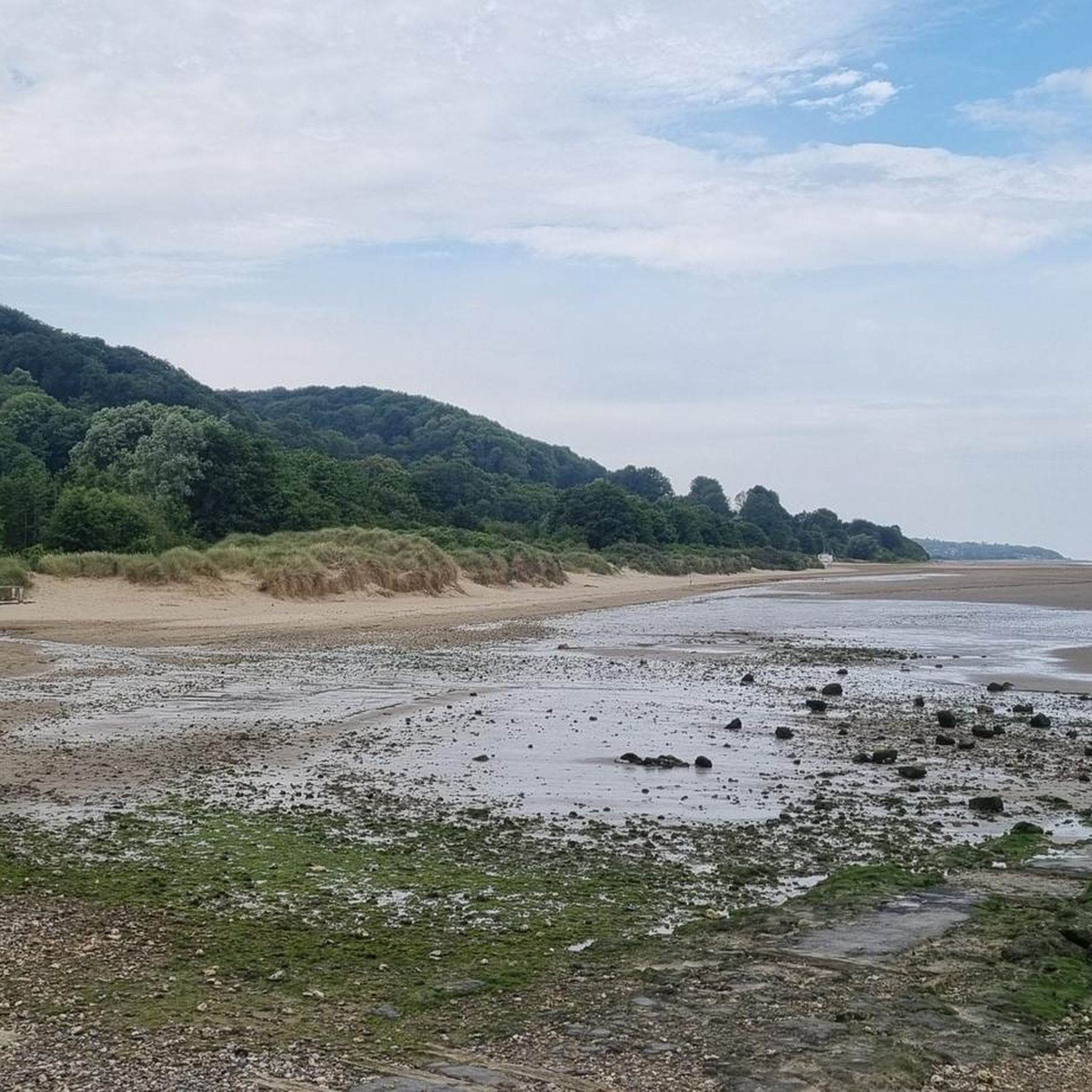
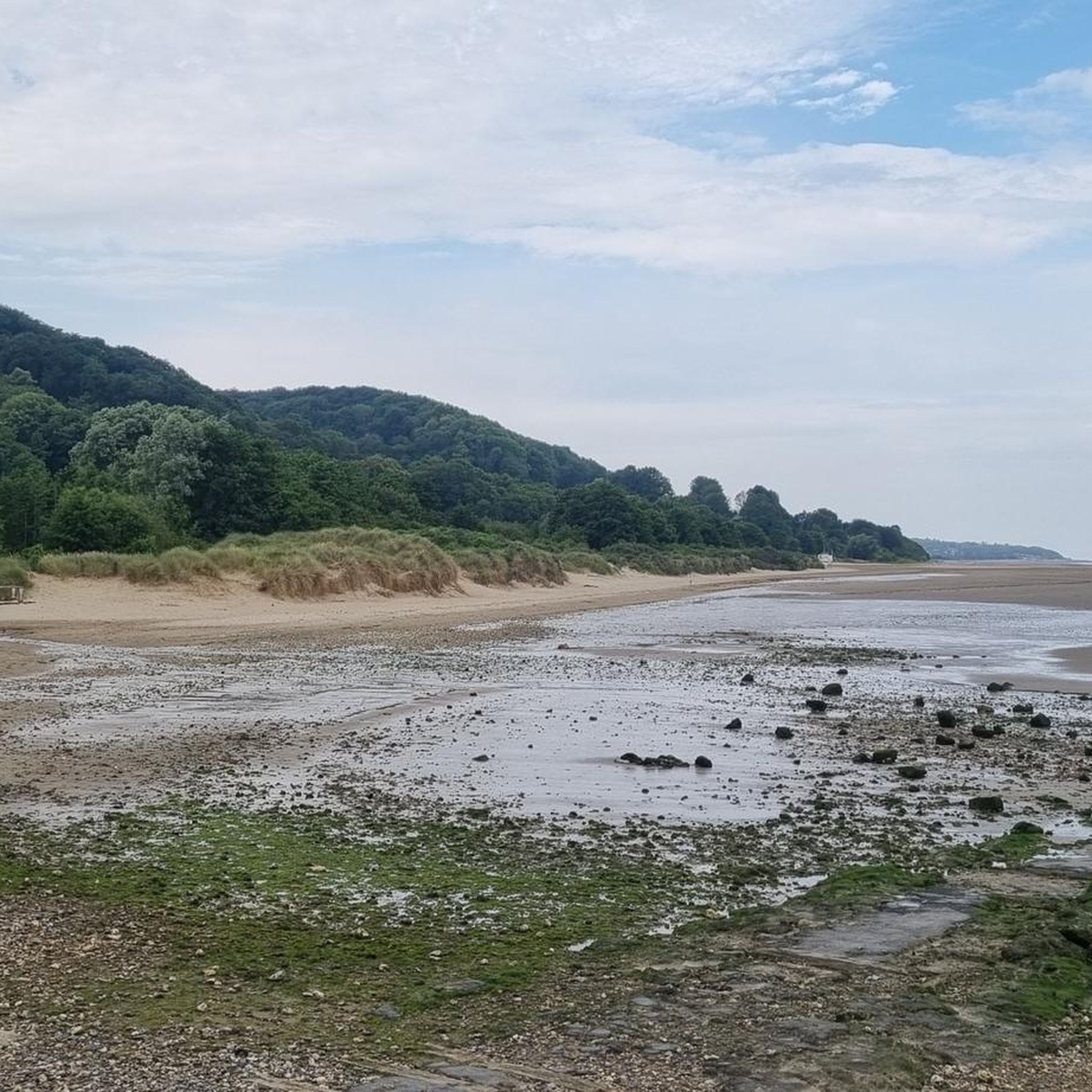
Very accessible trail - boots recommended for the end of the route - immersed in the reedbed with very beautiful views.
0
0

Admittedly, not the most beautiful route and not particularly pleasant when the cars drive by so close at 90 km/h, but it is still impressive to walk across the bridge in gusty winds. A few figures: For a long time, the bridge was the one with the longest roadway (2252 m) suspended from suspension cables. The span between the 215 m high pylons is 856 m. The roadway is suspended from 184 steel cables, the longest is 460 m long. The passage height for the ships is 50 m at the highest water level. The bridge can withstand winds of up to 300 km/h, today the average was 40 km/h.
2
0
Frequently Asked Questions
How many hiking trails are there around Grand Canal du Havre?
There are over 350 hiking and walking routes available around the Grand Canal du Havre, offering a diverse range of experiences. These include routes suitable for various fitness levels, from easy strolls to more moderate hikes.
Are there easy trails suitable for beginners or families?
Yes, the area offers many easy trails perfect for beginners or families. Approximately 200 routes are classified as easy. For example, the At the top of the Pont de Normandie loop from Maison de la Réserve is an easy 3.6 km hike, ideal for a shorter outing.
What kind of scenery can I expect while hiking around Grand Canal du Havre?
Hiking around Grand Canal du Havre offers a unique blend of industrial and natural vistas. You'll experience views of the Seine estuary where the river meets the English Channel, the impressive Pont de Normandie, and the active port of Le Havre. Some routes also feature natural elements like reedbeds, providing a striking contrast to the urban and industrial landscapes.
Are there any circular walks available?
Yes, many of the popular routes around Grand Canal du Havre are circular. For instance, the Pont de Normandie loop from Hangar 131 is a moderate 9.6 km circular path offering expansive views of the bridge and the industrial-maritime landscape.
What are the main attractions or landmarks to see along the hiking trails?
The most prominent landmark is the Pont de Normandie, a magnificent cable-stayed bridge that you can walk or cycle across, offering panoramic views of the Seine estuary. The trails also provide unique perspectives on Le Havre's port activity and modern infrastructure. For broader views of the city and sea, consider visiting the Hanging Gardens (Les Jardins Suspendus), set in a former 19th-century fort.
What do other hikers enjoy most about the trails in Grand Canal du Havre?
The trails around Grand Canal du Havre are highly rated by the komoot community, with an average score of 4.5 stars from over 1100 reviews. Hikers often praise the unique combination of industrial and natural scenery, especially the impressive views of the Pont de Normandie and the Seine estuary. The accessibility of many routes and the diverse perspectives they offer are also frequently highlighted.
Can I hike with my dog on the trails?
While many outdoor areas in France are dog-friendly, it's always best to check specific trail regulations, especially in nature reserves or protected areas. Generally, dogs on a leash are permitted on most public footpaths. Be mindful of local signage and ensure your dog is well-behaved around other hikers and wildlife.
What is the best time of year to hike around Grand Canal du Havre?
The Grand Canal du Havre area can be enjoyed year-round. Spring and autumn offer pleasant temperatures and often vibrant scenery. Summer is also popular, though trails can be busier. Winter hiking is possible, but be prepared for cooler, potentially wet weather, and shorter daylight hours. The views of the industrial landscape and estuary can be particularly atmospheric in different seasons.
Are there any routes that offer coastal views?
While the Grand Canal itself is inland, trails in the broader Le Havre area, such as sections of the GR21, offer stunning views of the Alabaster Coast with its famous limestone cliffs. The Hanging Gardens also provide panoramic views of Le Havre, the sea, and the Seine estuary, connecting the canal experience with the wider coastal landscape.
Is public transport available to reach the trailheads?
Le Havre has a public transport network, including buses and trams, that can connect you to various parts of the city and its surroundings. It is advisable to check the local public transport schedules and routes to find the most convenient way to reach specific trailheads around the Grand Canal du Havre.
Are there options for parking near the hiking trails?
Yes, parking is generally available near popular trailheads and attractions around the Grand Canal du Havre and the Pont de Normandie. Specific parking information can often be found on local tourism websites or by checking the starting points of individual routes on komoot.
Are there any trails that go through unique natural features like reedbeds?
Yes, some routes in the area offer immersive walks through unique natural features. For instance, the region research mentions "La roselière de l'estuaire de la Seine" (the reedbed of the Seine estuary), which provides beautiful views and a distinct natural experience. It's recommended to wear appropriate footwear, such as boots, for these sections.
Most popular routes around Grand Canal du Havre

Get inspired with the komoot mobile app


Explore more
Browse the best Hikes in other regions.
