The best walks and hikes around Étang de Biguglia
4.3
(729)
4,837
hikers
158
hikes
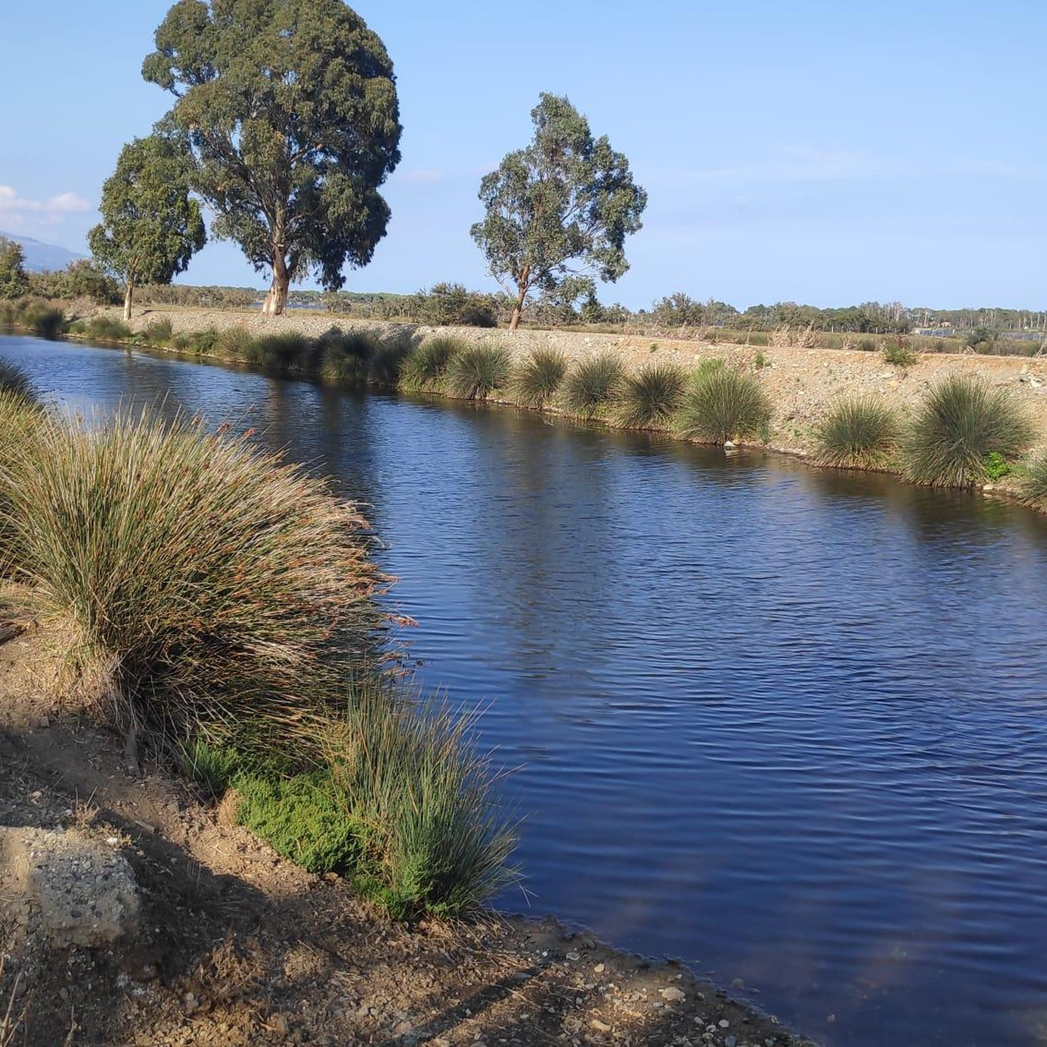
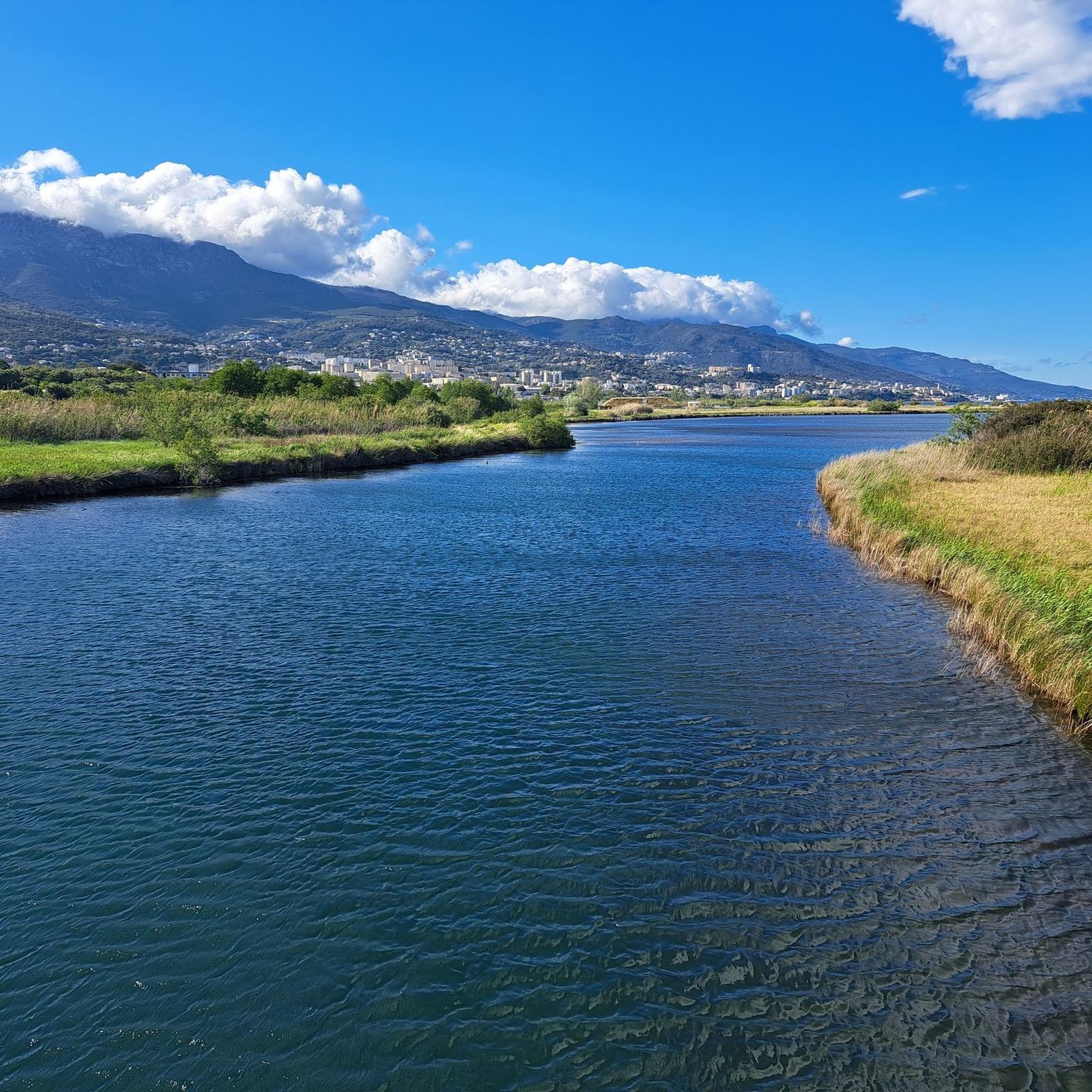
Hiking around Étang de Biguglia offers trails through Corsica's largest wetland, a shallow coastal lagoon separated from the Tyrrhenian Sea by the Lido de la Marana. The terrain is characterized by minimal elevation gain, featuring reed beds, salt meadows, and scattered trees like tamarisks and pines. This natural reserve provides a unique blend of coastal and wetland environments, with paths often leading along the water's edge. The landscape is generally flat, making many routes accessible for various fitness levels.
Best hiking trails around Étang de Biguglia
- The most popular hiking route is Plage de la Marana loop from Réserve naturelle de l'étang de Biguglia, a 5.6 miles (9.0 km) trail that takes 2 hours 15 minutes to complete. This moderate path offers views of the Tyrrhenian Sea and the coastal strip.
- Another top favourite among local hikers is Plage de la Marana loop from Pineto, a moderate 7.4 miles (12.0 km) path. This route follows the Lido de la Marana, providing a coastal walking experience.
- Local hikers also love the Route de la Lagune loop from Stade Armand Cesari, a 7.9 miles (12.6 km) trail leading through the lagoon's edge, often completed in about 3 hours 12 minutes.
- Hiking around Étang de Biguglia is defined by coastal paths, wetland environments, and the Lido de la Marana. The network offers options for easy, moderate, and difficult routes, catering to different ability levels.
- The routes in Étang de Biguglia are highly rated by the komoot community with an average score of 4.3 stars from over 600 reviews. More than 4000 hikers have used komoot to explore Étang de Biguglia's varied terrain.
Last updated: June 25, 2026
4.4
(5)
20
hikers
8.75km
02:12
10m
10m
Moderate hike. Good fitness required. Easily-accessible paths. Suitable for all skill levels.
5.0
(2)
22
hikers
12.5km
03:10
20m
20m
Moderate hike. Good fitness required. Easily-accessible paths. Suitable for all skill levels.

Sign up for free
5
hikers
7.59km
01:55
10m
10m
Easy hike. Great for any fitness level. Easily-accessible paths. Suitable for all skill levels.
17
hikers
6.34km
01:36
10m
10m
Easy hike. Great for any fitness level. Easily-accessible paths. Suitable for all skill levels.
5.0
(1)
11
hikers
5.06km
01:16
0m
0m
Easy hike. Great for any fitness level. Easily-accessible paths. Suitable for all skill levels.
Get access to more routes and recommendations from other explorers.
Sign up for free
Already have an account?
Our route recommendations are based on thousands of hikes, rides, and runs completed by other people on komoot.
Start today with a free account
Your next adventure awaits.
Login or Signup

Tips from the Community

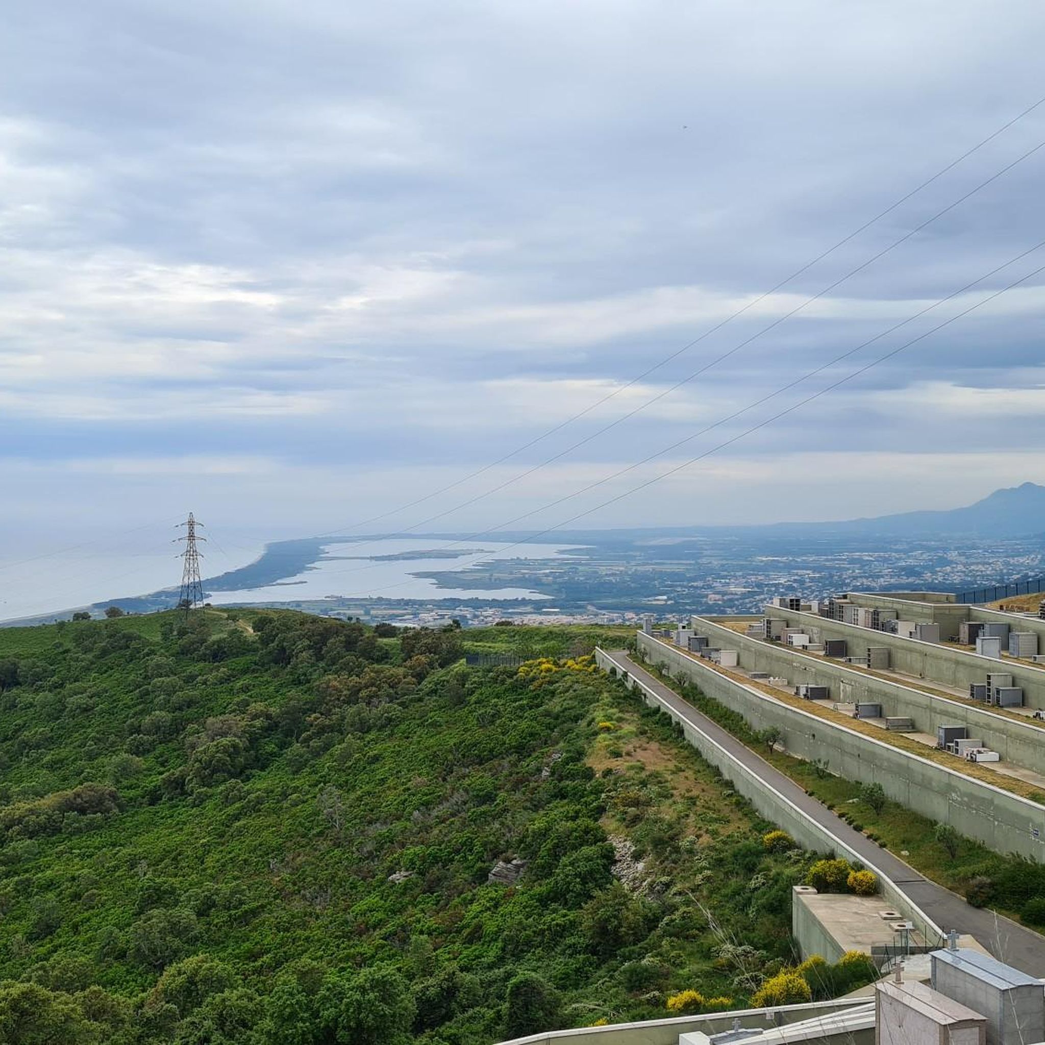
From this vantage point you have an idyllic view over the Étang de Biguglia and the mountains and villages behind it. The Écomusée du Fortin, which is located on a peninsula and extends far into the Étang, is very prominent here. Nearby you can observe flamingos, which overwinter here.
0
0

At the Route de la Lagune a bike path runs parallel to the road. You can reach the sea via any of the main roads, if necessary via a campsite.
2
2
Frequently Asked Questions
How many hiking trails are available around Étang de Biguglia?
Based on komoot data, there are over 150 hiking routes around Étang de Biguglia, catering to various skill levels. You'll find a good mix of easy, moderate, and a few more challenging options.
What is the typical terrain and difficulty level for hiking around Étang de Biguglia?
The terrain around Étang de Biguglia is generally flat with minimal elevation gain, characterized by reed beds, salt meadows, and scattered trees. Many paths follow the water's edge. Most routes are classified as easy or moderate, making them accessible for a wide range of hikers.
Are there any easy or family-friendly hiking routes around Étang de Biguglia?
Yes, Étang de Biguglia offers many easy and family-friendly options. For example, the Route de la Lagune – Beach at Sunset loop from Étang de Biguglia is an easy 6.2 km hike. The region's flat terrain makes many of its 47 easy routes suitable for families and beginners.
What kind of wildlife can I expect to see while hiking around Étang de Biguglia?
Étang de Biguglia is a significant nature reserve, especially renowned for its birdlife. You can expect to spot over 200 species of aquatic birds, including vibrant pink flamingos, ospreys, marsh harriers, and kingfishers. Birdwatching is a major activity, with observation points available along the trails.
Are there any circular hiking routes around Étang de Biguglia?
Yes, many of the trails around Étang de Biguglia are circular. Popular options include the Plage de la Marana loop from Réserve naturelle de l'étang de Biguglia, which is a moderate 9 km route, and the Route de la Lagune loop from Stade Armand Cesari, a 12.6 km moderate trail.
What are some interesting landmarks or viewpoints along the hiking trails?
Along the trails, you can find several points of interest. The View of Étang de Biguglia and Écomusée du Fortin offers insights into the wetland ecosystem. You can also explore the Route de la Lagune, which provides scenic views of the lagoon.
Is Étang de Biguglia suitable for dog-friendly hikes?
While the region is a nature reserve, many trails around Étang de Biguglia are generally accessible for dogs, especially those on the Lido de la Marana. However, it's always best to keep dogs on a leash to protect the local wildlife, particularly during bird nesting seasons.
What do other hikers enjoy most about hiking in Étang de Biguglia?
The area is highly rated by the komoot community, with an average score of 4.3 stars from over 600 reviews. Reviewers often praise the peaceful wetland environment, the opportunities for birdwatching, and the accessible, flat trails that offer a unique blend of coastal and lagoon scenery.
Where can I find parking for hiking trails around Étang de Biguglia?
Parking is available at various access points around the lagoon. For instance, the Plage de la Marana loop from Parking n°2 de Pineto indicates a specific parking area. Many trailheads, especially along the Lido de la Marana, offer designated parking facilities.
What is the best time of year to hike around Étang de Biguglia?
The best time to hike is generally during spring and autumn when temperatures are milder and the bird migration is active, offering excellent birdwatching opportunities. Summer can be hot, but coastal breezes make some routes pleasant, especially in the mornings or late afternoons. Winter offers a quieter experience with different bird species.
Are there any cafes or accommodation options near the hiking trails?
While the immediate vicinity of the nature reserve focuses on natural preservation, you can find cafes, restaurants, and accommodation options in the nearby towns and villages surrounding the Étang de Biguglia, such as Biguglia itself or along the Lido de la Marana.
Are there any longer hiking routes for more experienced hikers?
While the terrain is generally flat, there are longer routes for those seeking more distance. For example, the Plage de la Marana loop from Pineto is a moderate 12 km path that follows the Lido de la Marana, providing a coastal walking experience over a longer duration.
Most popular routes around Étang de Biguglia
Most popular attractions around Étang de Biguglia

Get inspired with the komoot mobile app


Explore more
Browse the best Hikes in other regions.
