The best walks and hikes around Étang de Ventilegne
4.6
(2861)
20,894
hikers
112
hikes
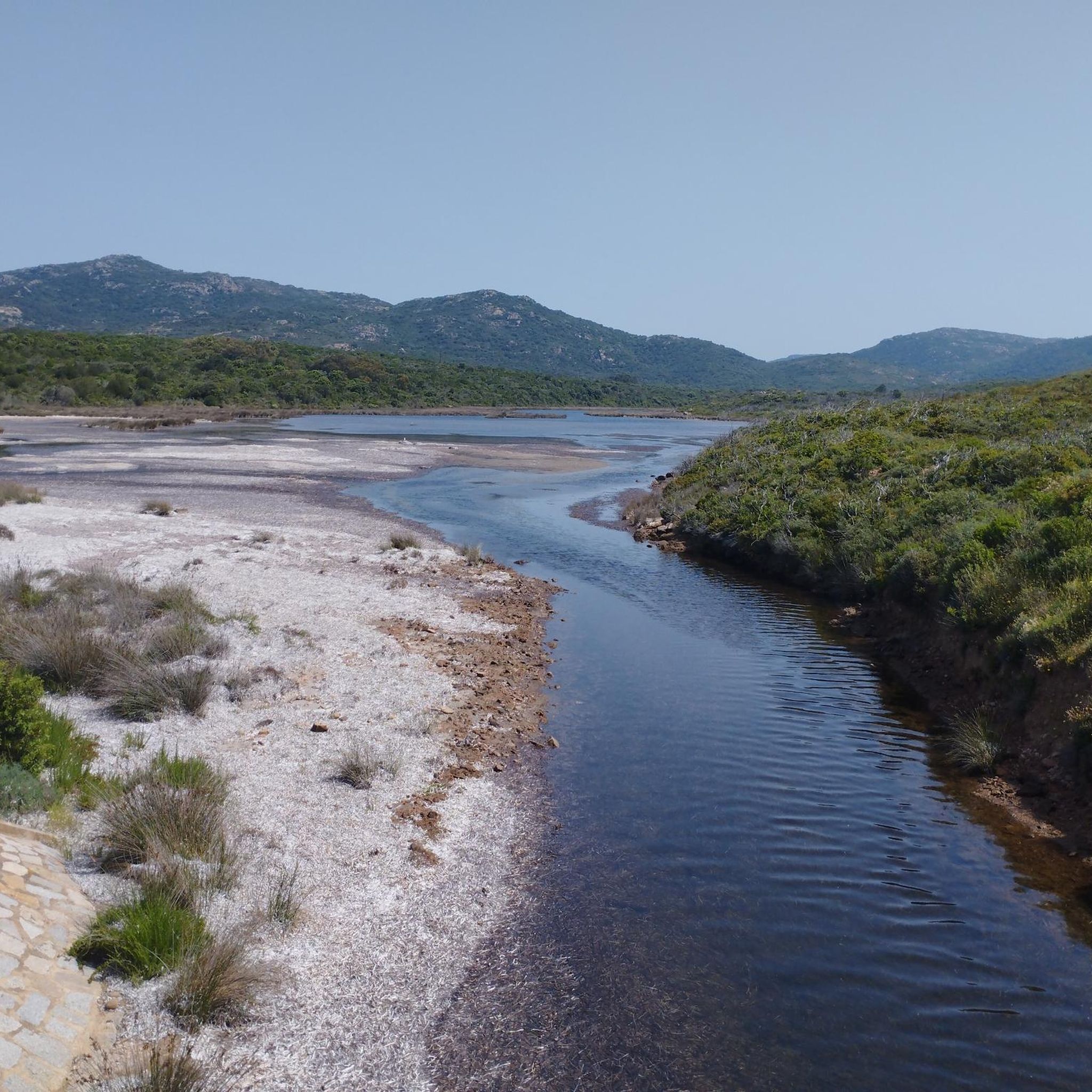
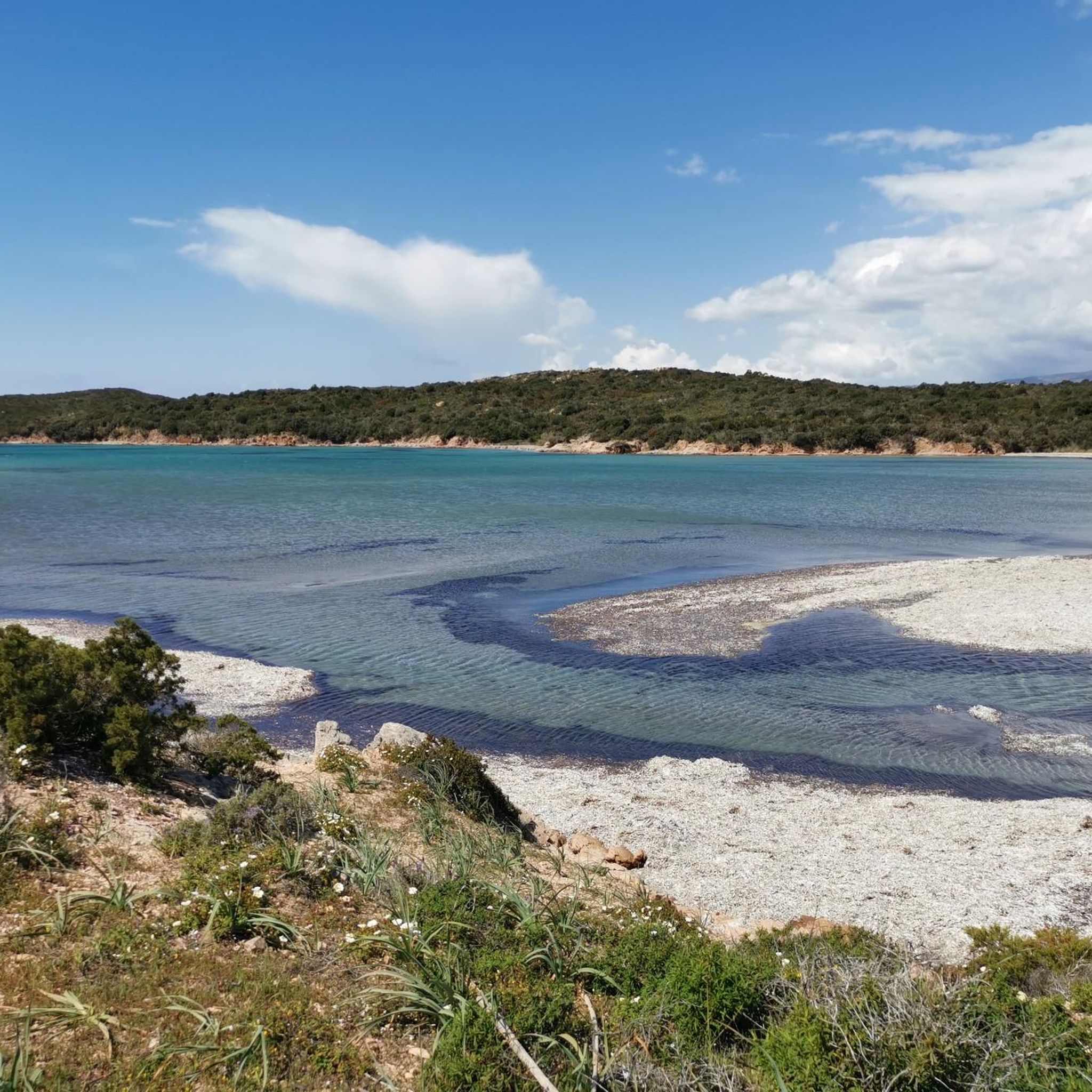
Hiking trails around Étang de Ventilegne offer a diverse range of landscapes within the Parc Naturel des Bouches de Bonifacio. The region features coastal paths, Mediterranean maquis, and significant wetlands. Hikers can expect varied terrain, including sandy coves, rocky formations, and scrubland sculpted by the wind.
Best hiking trails around Étang de Ventilegne
- The most popular hiking route is Hiking loop from Figari, a 4.0 miles (6.5 km) trail that takes 1 hour 40 minutes to complete. This easy…
Last updated: June 25, 2026
14
hikers
6.51km
01:40
20m
20m
Easy hike. Great for any fitness level. Easily-accessible paths. Suitable for all skill levels.
4.6
(23)
136
hikers
Moderate hike. Good fitness required. Easily-accessible paths. Suitable for all skill levels.

Sign up for free
5.0
(6)
75
hikers
12.0km
03:13
110m
110m
Moderate hike. Good fitness required. Mostly accessible paths. Sure-footedness required.
4.2
(9)
41
hikers
12.8km
03:28
190m
190m
Moderate hike. Good fitness required. Easily-accessible paths. Suitable for all skill levels.
11
hikers
4.03km
01:02
20m
20m
Easy hike. Great for any fitness level. Easily-accessible paths. Suitable for all skill levels.
Get access to more routes and recommendations from other explorers.
Sign up for free
Already have an account?
Our route recommendations are based on thousands of hikes, rides, and runs completed by other people on komoot.
Start today with a free account
Your next adventure awaits.
Login or Signup
Tips from the Community

super mega beautiful here
1
0
mega super here, wonderful
1
0
pretty here, very pretty
3
0
Frequently Asked Questions
How many hiking trails are available around Étang de Ventilegne?
There are over 110 hiking trails around Étang de Ventilegne, offering a wide variety of experiences. These include 42 easy routes, 60 moderate paths, and 9 more challenging excursions.
What kind of landscapes will I encounter on the trails?
The trails around Étang de Ventilegne feature diverse landscapes within the Parc Naturel des Bouches de Bonifacio. You can expect beautiful coastal paths, dense Mediterranean maquis, and significant wetlands. The terrain often includes sandy coves, unique rocky formations sculpted by the wind, and scrubland.
Are there any easy hikes suitable for families or beginners?
Yes, Étang de Ventilegne offers numerous easy hiking options. For example, the Hiking loop from Figari is an easy 6.5 km trail that takes about 1 hour 40 minutes, leading through varied coastal sections. Another accessible option is the Hiking loop from La Tonnara, which is 4 km long and takes around 1 hour.
What is the best time of year to go hiking in this region?
The region is particularly vibrant with flowers in the spring, making it an excellent time for coastal walks. The Mediterranean climate generally allows for hiking outside of the hottest summer months, with spring and autumn offering pleasant temperatures and beautiful scenery.
Are there opportunities for birdwatching along the trails?
Yes, the wetlands of Étang de Ventilegne and the nearby Étang de Pisciu Cane are recognized nature reserves and are ideal for birdwatching. These serene areas provide a chance to observe local wildlife in a protected environment.
What do other hikers enjoy most about the trails in Étang de Ventilegne?
The hiking routes in Étang de Ventilegne are highly rated by the komoot community, with an average score of 4.6 stars from over 2,300 reviews. Hikers often praise the stunning coastal scenery, the unique Mediterranean maquis, and the variety of trails suitable for different ability levels.
Are there any circular hiking routes available?
Yes, many trails in the area are circular. For instance, the Capo di Feno loop from Caldarello is a 11.8 km circular trail that takes about 3 hours 10 minutes, offering beautiful coastal landscapes and maquis. Another option is the Hiking loop from Figari.
Can I bring my dog on the hiking trails?
While specific regulations can vary, many natural areas in France, especially within regional parks like Parc Naturel des Bouches de Bonifacio, often permit dogs on trails if they are kept on a leash. It's always recommended to check local signage or park authority guidelines for the most current information regarding pet access.
What kind of flora and fauna can I expect to see?
The landscape is characterized by the Corsican maquis, a dense scrubland rich in Mediterranean flora, enveloping walkers with the scents of sun-ripened fruit and rosemary. The wetlands are home to various bird species, making it a great spot for wildlife observation.
Are there any longer, more challenging hikes in the area?
For those seeking a longer excursion, the Driftwood, driftwood. – Saline Sottane Beach loop from Étang de Pisciu Cane is a moderate 16.3 km path that takes approximately 4 hours 15 minutes. This route offers extensive coastal scenery and a good workout.
Is public transport available to reach the hiking trailheads?
Public transport options directly to specific trailheads in more remote natural areas like Étang de Ventilegne can be limited. It is often advisable to have a car for greater flexibility in accessing various starting points. However, some larger towns nearby may have bus services.
Where can I find parking for the hiking trails?
Parking availability varies by trailhead. Many popular starting points, especially for well-known loops, often have designated parking areas. It's recommended to check the specific route details on komoot for information on parking at the beginning of your chosen hike.
Most popular routes around Étang de Ventilegne

Get inspired with the komoot mobile app


Explore more
Browse the best Hikes in other regions.
