The best road cycling routes around Mare à Goriaux
4.3
(226)
5,771
riders
442
rides
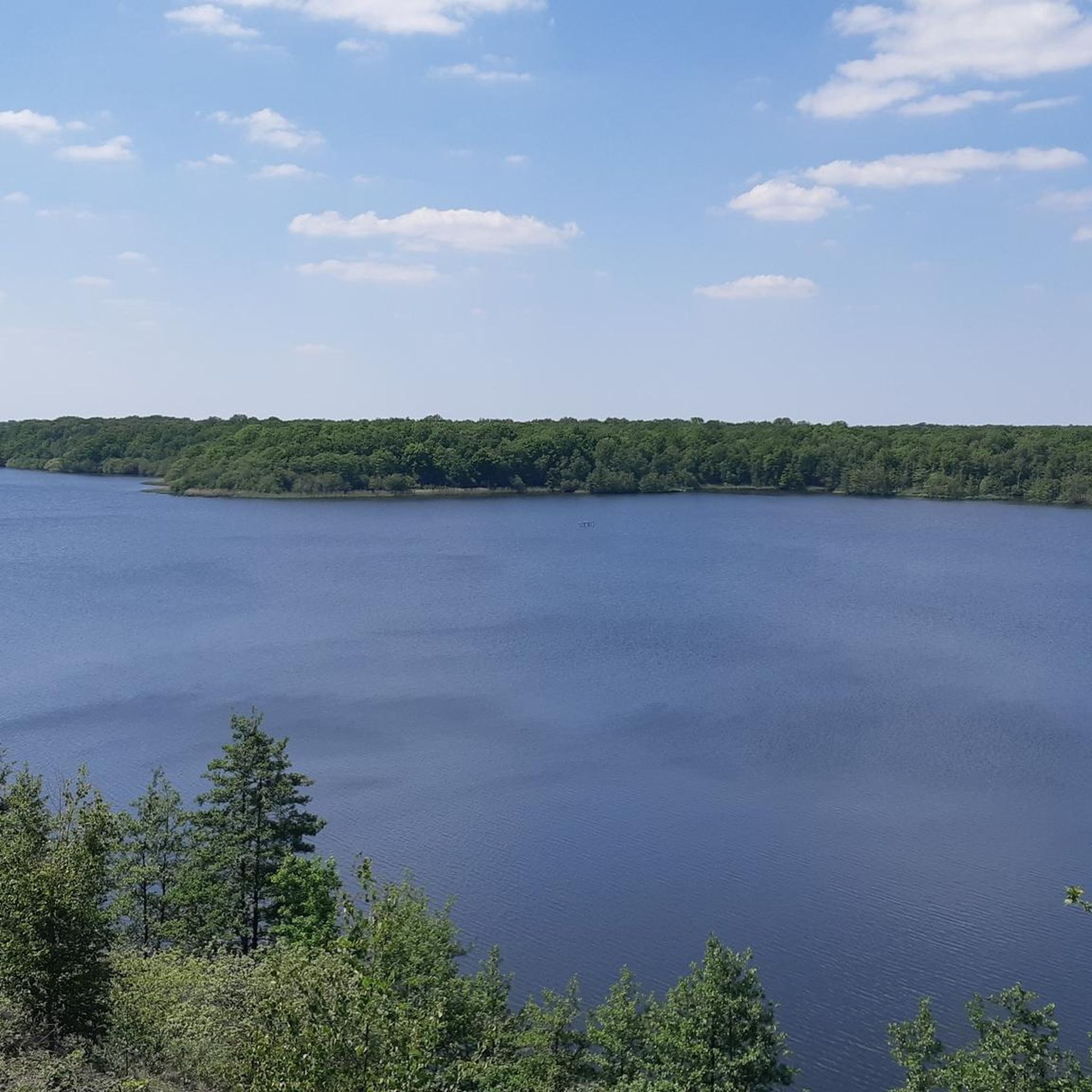
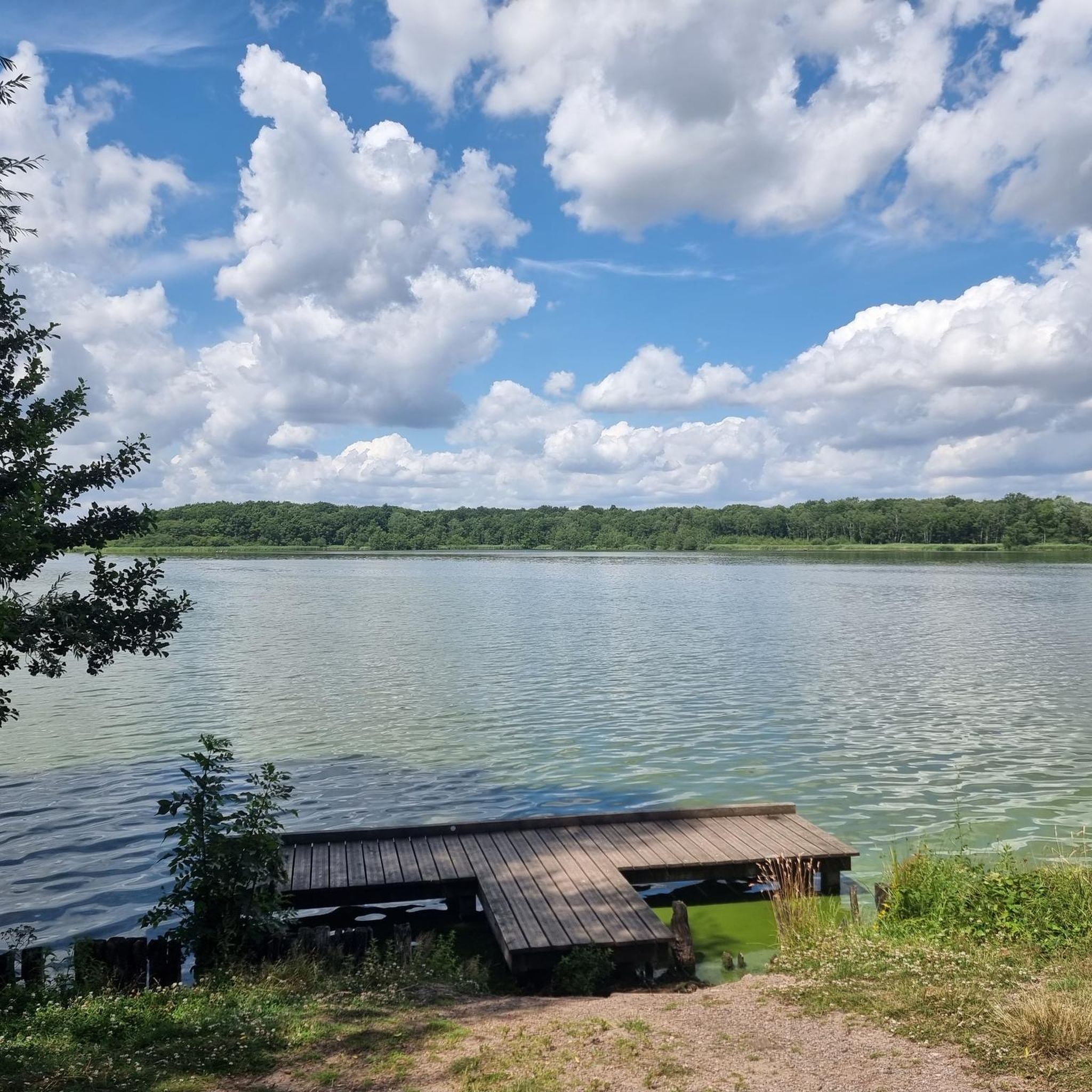
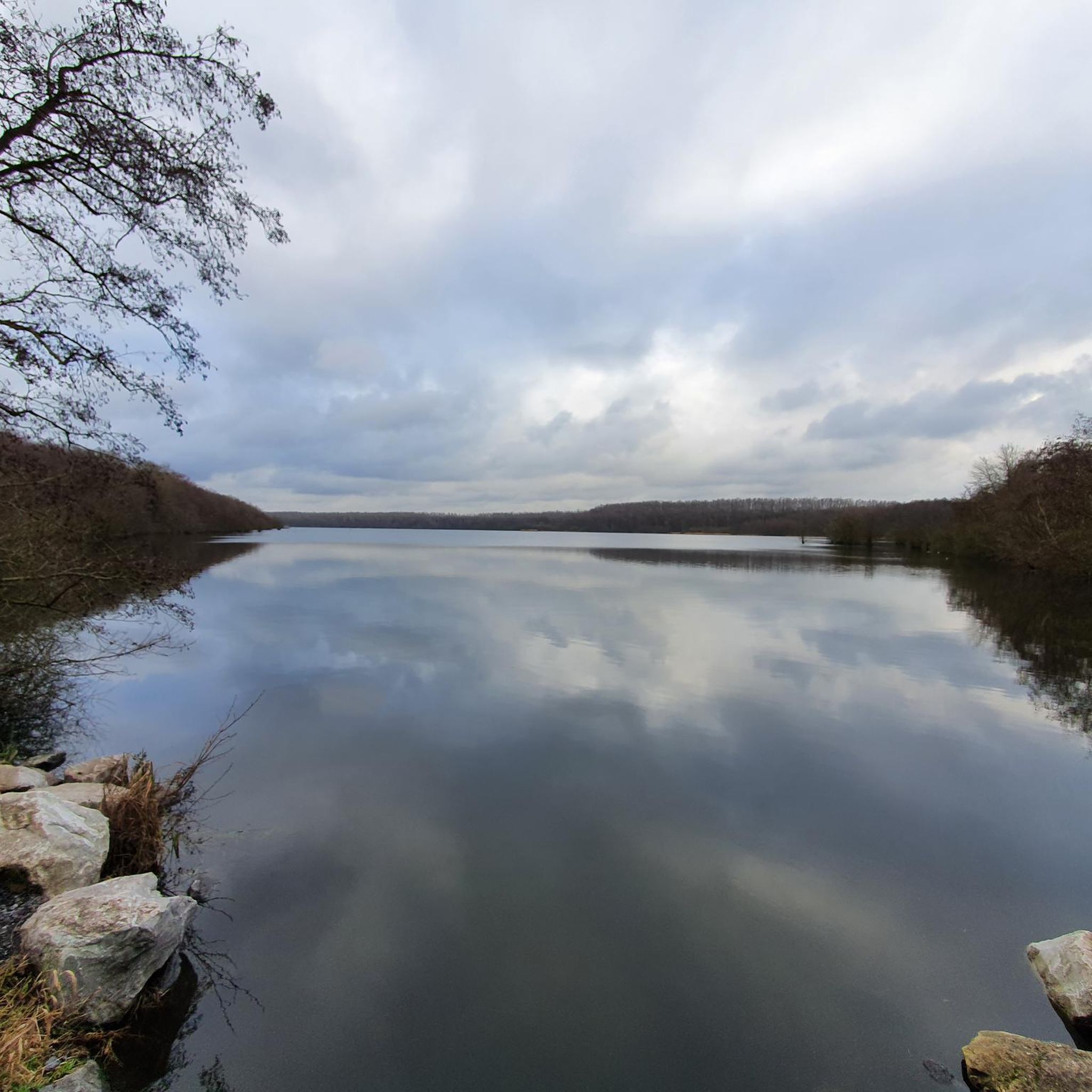
Road cycling around Mare à Goriaux is characterized by routes traversing the flat to gently rolling terrain surrounding the lake, located near Valenciennes. The area features a mix of agricultural landscapes, local villages, and remnants of industrial heritage. Road cyclists can expect paths that often follow canals or pass through open countryside, with minimal significant elevation changes. The region provides a network of paved roads suitable for various road cycling abilities.
Best road cycling routes around Mare à Goriaux
- The…
Last updated: July 6, 2026
27
riders
27.8km
01:25
50m
50m
Moderate road ride. Great for any fitness level. Some segments of this route may be unpaved and difficult to ride.
28
riders
34.8km
01:23
70m
70m
Moderate road ride. Great for any fitness level. Some segments of this route may be unpaved and difficult to ride.

Sign up for free
13
riders
33.5km
01:18
90m
90m
Easy road ride. Great for any fitness level. Mostly well-paved surfaces and easy to ride.
36
riders
82.1km
03:34
390m
390m
Moderate road ride. Good fitness required. Mostly well-paved surfaces and easy to ride.
51
riders
88.4km
03:43
500m
500m
Moderate road ride. Good fitness required. Mostly well-paved surfaces and easy to ride.
Get access to more routes and recommendations from other explorers.
Sign up for free
Already have an account?
Our route recommendations are based on thousands of hikes, rides, and runs completed by other people on komoot.
Start today with a free account
Your next adventure awaits.
Login or Signup

Tips from the Community

Very special place to take pictures
0
0

You can step on the gas again when you come from the asphalt road after Trouee Arenberg 170 km 30 lanes
1
0
very recognizable place on the John Degenkolb route strip 17
1
0

The Pont des Trous, or "Bridge of Holes," is a historic Gothic bridge spanning the Scheldt River in Tournai, Belgium. It's considered one of the most significant vestiges of medieval military architecture in Belgium and a symbolic monument of Tournai https://www-crediblebh.com
5
0
Mourcourt is a Belgian village located on the slopes of Mont-Saint-Aubert, a prominent local hill, offering scenic walks. While "St Aubert" generally refers to Saint Aubert of Avranches, founder of Mont Saint-Michel, in this context, it primarily designates the hill near Mourcourt, forming a key geographical link between the two https://www.mycard-statement.com
1
0

it's long
1
0


Lovely spot, named after Gilbert-Duclos Lassalle (2-time winner). Official name is pavé de Wallers à Hélesmes but everyone seems to have forgotten that.... The beginning of the strip (up to the bridges) is in good condition, the 2nd part slowly gets worse and therefore heavier in the legs. Still a long way from here!
2
0
Frequently Asked Questions
How many road cycling routes are available around Mare à Goriaux?
There are nearly 450 road cycling routes around Mare à Goriaux documented on komoot. These routes cater to various skill levels, from easy loops to more challenging rides.
Are there road cycling routes suitable for beginners in Mare à Goriaux?
Yes, Mare à Goriaux offers over 100 easy road cycling routes. A great option for beginners is the Arenberg Mining Site loop from Raismes, an easy 21.8-mile (35.1 km) trail that takes about 1 hour 23 minutes to complete, offering a relatively flat ride.
What is the best season for road cycling in Mare à Goriaux?
The best season for road cycling in Mare à Goriaux is typically spring through early autumn (April to October). During these months, the weather is generally mild and conducive to cycling, allowing you to enjoy the agricultural landscapes and local villages.
Are there any circular road cycling routes near Mare à Goriaux?
Yes, many routes in the area are circular. For example, the Trouée d'Arenberg – Gibus Bridge loop from Aubry-du-Hainaut is a moderate 20.3-mile (32.7 km) circular path that includes some minor elevation changes and varied scenery.
What kind of terrain can I expect on road cycling routes around Mare à Goriaux?
Road cycling around Mare à Goriaux is characterized by flat to gently rolling terrain. Routes often traverse agricultural landscapes, local villages, and sometimes follow canals, with minimal significant elevation changes. The region provides a network of paved roads suitable for various abilities.
Are there any longer, more challenging road cycling routes in the area?
For those seeking longer rides, the Mont-Saint-Aubert – Belfry of Tournai loop from Raismes is a moderate 48.6-mile (78.2 km) trail, typically completed in about 3 hours 25 minutes. Another option is the Côte de la Cascade – Côte du Caillou qui Bique loop from Raismes, which is 51.4 miles (82.7 km) long and features more significant elevation changes.
What do other road cyclists enjoy most about road cycling in Mare à Goriaux?
The komoot community highly rates road cycling in Mare à Goriaux, with an average score of 4.3 stars from over 200 reviews. Cyclists often praise the region's accessible, well-paved roads, the charming agricultural scenery, and the historical elements like the Arenberg Mining Site.
Are there any scenic viewpoints or notable landmarks along the road cycling routes?
While the region is generally flat, routes like the Mont-Saint-Aubert – Belfry of Tournai loop from Raismes lead towards the Mont-Saint-Aubert area, which offers some elevated views. The area also features remnants of industrial heritage, such as the Arenberg Mining Site, which can be explored on routes like the Arenberg Mining Site loop from Raismes.
Are there options for advanced road cyclists looking for more elevation?
While Mare à Goriaux is known for its generally flat terrain, some routes do offer more elevation gain. The Côte de la Cascade – Côte du Caillou qui Bique loop from Raismes, for instance, includes over 640 meters of ascent, providing a more demanding ride for advanced cyclists.
What are the typical road conditions for cycling around Mare à Goriaux?
The road cycling routes around Mare à Goriaux primarily use paved roads. These often include quiet country roads, paths alongside canals, and roads through local villages, generally offering smooth surfaces suitable for road bikes.
Can I find routes that pass through different towns or villages?
Yes, many routes are designed to connect local villages and towns. For example, the Pont des Trous – Mont-Saint-Aubert loop from Wallers takes you through varied scenery, including different settlements, offering a glimpse into the local life and architecture of the region.
Most popular routes around Mare à Goriaux

Get inspired with the komoot mobile app


Explore more
Browse the best Road cycling routes in other regions.
