The best road cycling routes around Tarrant Launceston
4.5
(43)
1,671
riders
113
rides
Road cycling around Tarrant Launceston offers diverse terrain through the heart of Dorset. The landscape is characterized by rolling hills, river valleys, and open countryside, providing varied gradients for cyclists. Routes often feature ascents to viewpoints and descents through picturesque villages. This area provides a mix of challenging climbs and gentler stretches suitable for different fitness levels.
Best road cycling routes around Tarrant Launceston
- The most popular road cycling route is The Cliff Ascent – St Mary the Virgin Church…
Last updated: October 7, 2026
71
riders
88.2km
04:08
760m
760m
Moderate road ride. Good fitness required. Some segments of this route may be unpaved and difficult to ride.
5.0
(1)
18
riders
37.0km
01:36
290m
290m
Easy road ride. Great for any fitness level. Mostly well-paved surfaces and easy to ride.

17
riders
32.4km
01:34
390m
390m
Moderate road ride. Good fitness required. Mostly well-paved surfaces and easy to ride.
5.0
(1)
13
riders
Easy road ride. Great for any fitness level. Mostly well-paved surfaces and easy to ride.
10
riders
55.7km
02:47
550m
550m
Moderate road ride. Good fitness required. Mostly well-paved surfaces and easy to ride.
Get access to more routes and recommendations from other explorers.
Already have an account?
Our route recommendations are based on thousands of hikes, rides, and runs completed by other people on komoot.
Start today with a free account
Your next adventure awaits.

Tips from the Community

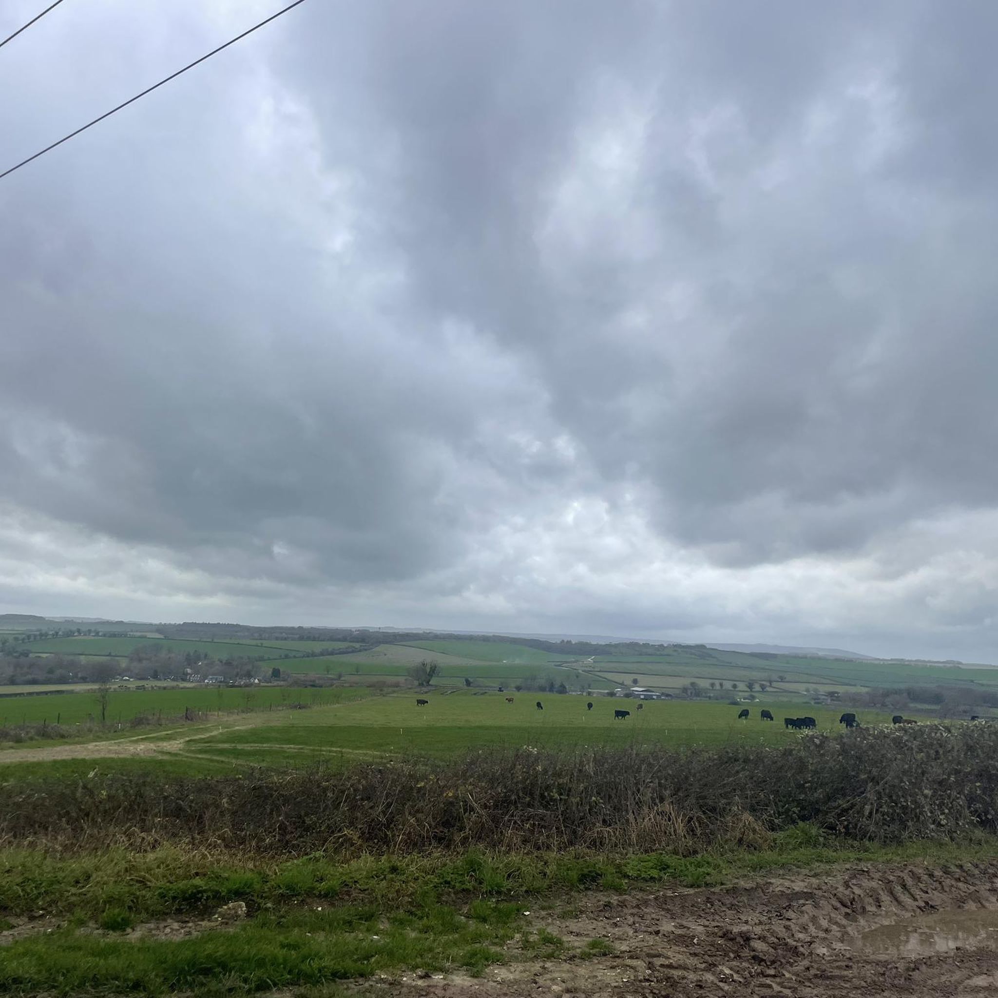
The River Tarrant is a small but historically significant river in Dorset, England. Here's a breakdown of its key characteristics: Tributary of the River Stour: The Tarrant is a 12 km (7.5 miles) long tributary that flows into the larger River Stour. Location: Its valley lies to the east of Blandford Forum in Dorset, within the chalk downland area of Cranborne Chase. Source: The river rises near Tarrant Gunville, specifically in the grounds of what was Gunville House. Flow Direction: It generally flows from north to south. Mouth: The Tarrant joins the River Stour at Tarrant Crawford. "Tarrant" Villages: A distinctive feature of the river is that eight (or sometimes cited as nine) villages and hamlets along its course bear its name as a prefix
0
0
A church at Tarrant Keyneston is known to have existed as early as the 14th century, with the first known rector recorded in 1317.
0
0
"bastard graves" refers to the table tombs in the churchyard of All Saints' Church in Tarrant Keyneston, Dorset, specifically those of the Bastard and Barfoot families. These tombs are Grade II listed monuments and are a significant part of the churchyard's history. The "Bastard" part of the name comes from the fact that the notable architects Thomas Bastard (d. 1731) and John Bastard (d. 1778) were buried in these tombs, along with other members of their family. The tombs are known to have been rebuilt after the Blandford fire of 1731.
0
0


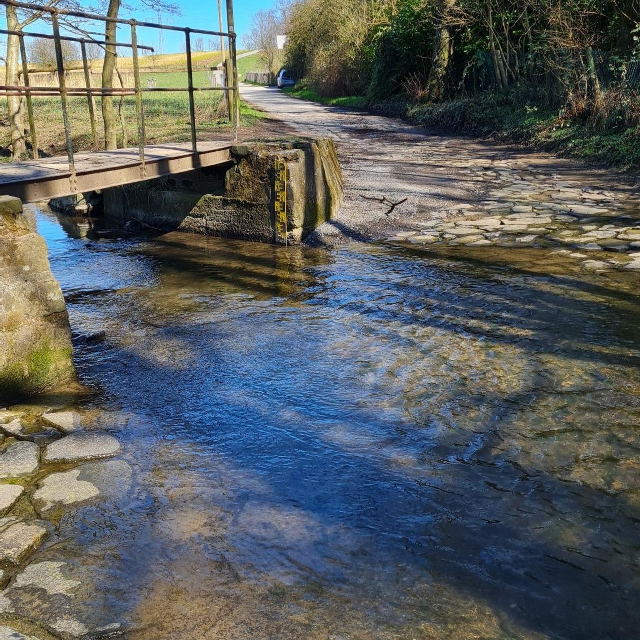
A beautiful ancient bridge lovely views in all seasons x
0
0


Frequently Asked Questions
How many road cycling routes are available around Tarrant Launceston?
There are over 100 road cycling routes around Tarrant Launceston, offering diverse terrain through the heart of Dorset. This includes 30 easy routes, 76 moderate routes, and 13 difficult routes, catering to various fitness levels and preferences.
What kind of terrain can I expect when road cycling in Tarrant Launceston?
Road cycling in Tarrant Launceston is characterized by rolling hills, river valleys, and open countryside. You'll find a mix of challenging climbs to scenic viewpoints and gentler descents through picturesque villages, providing varied gradients for cyclists.
Are there any easy road cycling routes suitable for beginners in Tarrant Launceston?
Yes, Tarrant Launceston offers 30 easy road cycling routes. A popular easy option is the Blandford Forum Market Place – White Mill Bridge loop from Pimperne, which is 22.9 miles (36.9 km) and winds through the scenic Tarrant Valley.
What are some challenging road cycling routes for experienced riders?
For more experienced riders, there are 13 difficult routes available. While specific challenging routes are not detailed in the guide, the region's rolling hills and significant elevation gains on some routes, such as The Cliff Ascent – St Mary the Virgin Church loop from Pimperne (55.0 miles with 759m elevation gain), provide ample challenge.
What do other road cyclists enjoy most about the routes in Tarrant Launceston?
The road cycling routes in Tarrant Launceston are highly rated by the komoot community, with an average score of 4.5 stars from over 40 reviews. Cyclists often praise the diverse terrain, from river valleys to rolling hills, and the panoramic views offered from various ascents.
Are there any circular road cycling routes in Tarrant Launceston?
Many of the routes around Tarrant Launceston are designed as loops, offering circular journeys. Examples include the The Cliff Ascent – St Mary the Virgin Church loop from Pimperne and the Blandford Forum Market Place – Okeford Hill Viewpoint loop from Pimperne, allowing you to start and finish in the same location.
What landmarks or viewpoints can I see along the road cycling routes?
As you cycle, you can encounter several notable landmarks and viewpoints. These include historical sites like Win Green Summit and Hambledon Hill Ramparts, as well as scenic viewpoints such as Hambledon Hill Iron Age hill fort, Badbury Rings Iron Age hillfort, and Hod Hill.
Are there any routes that offer significant elevation gain for a workout?
Yes, routes like The Cliff Ascent – St Mary the Virgin Church loop from Pimperne feature significant elevation gain, with over 759 meters of climbing over 55 miles, providing a substantial workout and rewarding panoramic views.
What is the average duration for road cycling routes in Tarrant Launceston?
Route durations vary significantly based on distance and elevation. For example, an easy route like Blandford Forum Market Place – White Mill Bridge loop from Pimperne (22.9 miles) takes around 1 hour 35 minutes, while a moderate route like The Cliff Ascent – St Mary the Virgin Church loop from Pimperne (55.0 miles) can take over 4 hours.
Can I find routes that combine historical sites with scenic views?
Absolutely. Many routes in the area pass by or offer views of historical sites. For instance, you can cycle near ancient hill forts like Hambledon Hill Iron Age hill fort and Badbury Rings Iron Age hillfort, which also serve as excellent viewpoints over the Dorset countryside.
Are there any routes that follow river valleys?
Yes, the Tarrant Valley is a prominent feature of the region. Routes such as the Blandford Forum Market Place – White Mill Bridge loop from Pimperne specifically wind through the Tarrant Valley, offering gentler rides through picturesque riverside landscapes.
Most popular routes around Tarrant Launceston
Most popular attractions around Tarrant Launceston

Get inspired with the komoot mobile app


Explore more
Browse the best Road cycling routes in other regions.
