The best running trails around Tarrant Rawston
4.5
(28)
2,062
runners
185
runs
Jogging routes around Tarrant Rawston traverse a landscape of rolling Dorset downland and serene river valleys. The area features chalk downs, offering expansive views, and unique paths on the former RAF Tarrant Rushton airfield. The tranquil River Tarrant also provides waterside running opportunities through meadows and past historical features.
Best jogging routes around Tarrant Rawston
- The most popular jogging route is RAF Tarrant Rushton Airfield – Tarrant Rushton Airfield loop from Tarrant Rushton, a 3.4 miles (5.5 km) trail…
Last updated: May 20, 2026
54
runners
Moderate run. Good fitness required. Mostly paved surfaces. Suitable for all skill levels.
50
runners
13.3km
01:32
100m
100m
Moderate run. Good fitness required. Mostly paved surfaces. Suitable for all skill levels.

Sign up for free
5.0
(1)
41
runners
20.1km
02:18
160m
160m
Hard run. Very good fitness required. Mostly paved surfaces. Suitable for all skill levels.
17
runners
9.07km
01:02
140m
140m
Moderate run. Good fitness required. Mostly paved surfaces. Suitable for all skill levels.
14
runners
Easy run. Great for any fitness level. Mostly paved surfaces. Suitable for all skill levels.
Get access to more routes and recommendations from other explorers.
Sign up for free
Already have an account?
Our route recommendations are based on thousands of hikes, rides, and runs completed by other people on komoot.
Start today with a free account
Your next adventure awaits.
Login or Signup

Tips from the Community


All Saint Church, unfortunately it was closed due to repair work going on, The Beautifully looking Langton Arms, and get this..... A WORKING RED PHONE BOX!!!! A bit cobwebby, but still... cool
0
0
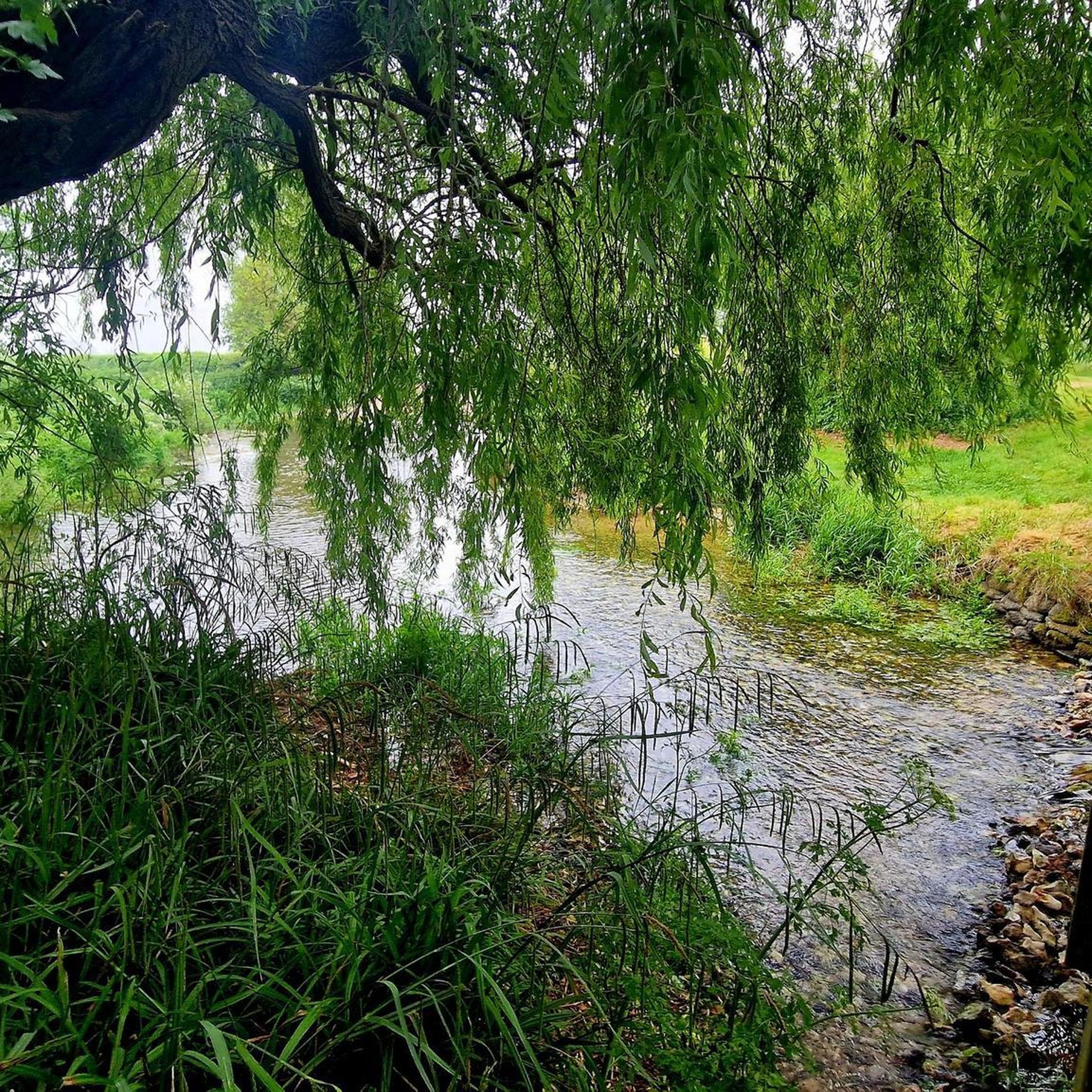
The River Tarrant is a small but historically significant river in Dorset, England. Here's a breakdown of its key characteristics: Tributary of the River Stour: The Tarrant is a 12 km (7.5 miles) long tributary that flows into the larger River Stour. Location: Its valley lies to the east of Blandford Forum in Dorset, within the chalk downland area of Cranborne Chase. Source: The river rises near Tarrant Gunville, specifically in the grounds of what was Gunville House. Flow Direction: It generally flows from north to south. Mouth: The Tarrant joins the River Stour at Tarrant Crawford. "Tarrant" Villages: A distinctive feature of the river is that eight (or sometimes cited as nine) villages and hamlets along its course bear its name as a prefix.
0
0
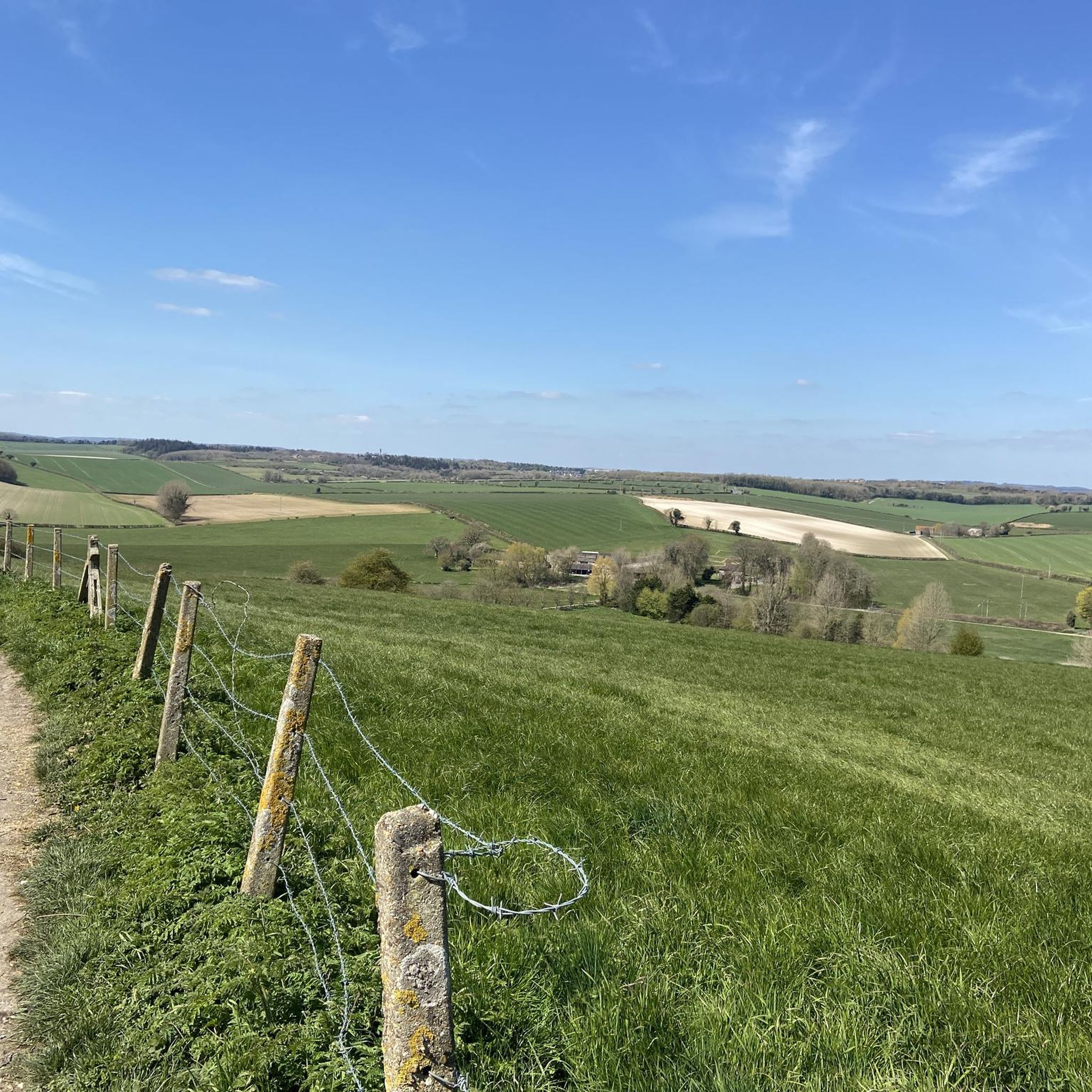
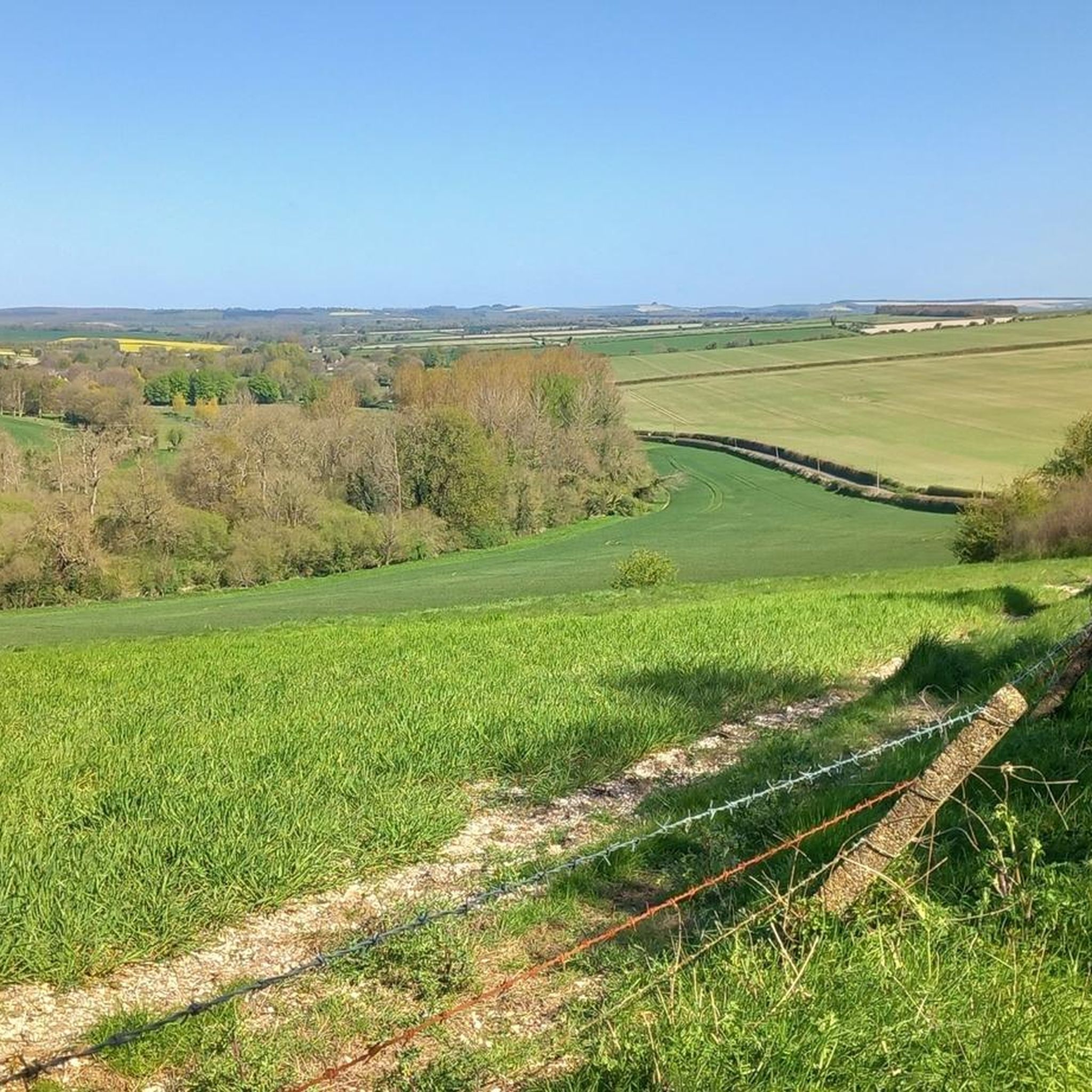
A lovely Run,walk or ride across the top of the tarrant valley access from Langton arms pub south of this view point
0
0
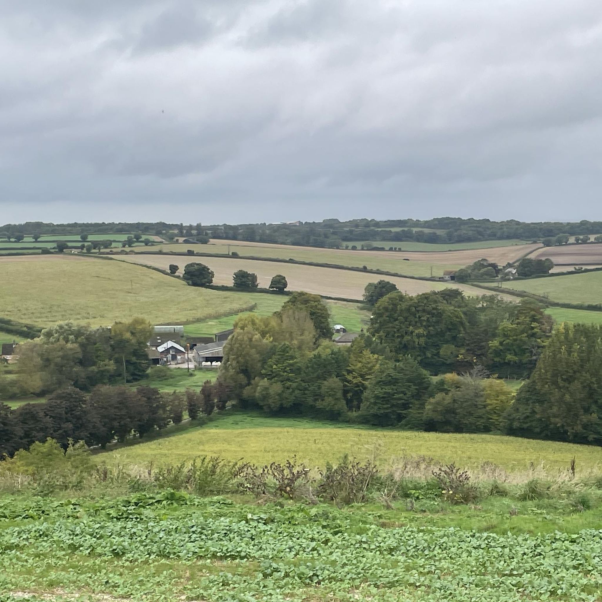
A very nice route indeed. Nothing too demanding at all. Give it a whirl!!!
1
0

There are toilets here - usually open during the day
0
0

Easy ride around the former wartime airbase, where D-day gliders took off.
0
0
Frequently Asked Questions
How many running routes are available in the Tarrant Rawston area?
There are over 190 running routes around Tarrant Rawston, offering a wide variety of options for different fitness levels and preferences. These routes traverse rolling Dorset downland, serene river valleys, and even former airfield paths.
What kind of terrain can I expect on jogging routes around Tarrant Rawston?
The terrain around Tarrant Rawston is diverse. You'll find routes across chalk downs offering fine vistas, tranquil paths along the River Tarrant, and unique, flat sections on the former RAF Tarrant Rushton airfield's concrete taxiways. Many routes also utilize a network of field paths and bridleways.
Are there running routes suitable for beginners in Tarrant Rawston?
Yes, Tarrant Rawston offers several easy running routes perfect for beginners. For example, the Blandford Forum Market Place – Stour Meadows Park loop from Blandford Forum is an easy 4.5 km (2.8 miles) trail that takes approximately 28 minutes to complete, offering a gentle introduction to the area's beauty.
What do other runners say about the trails in Tarrant Rawston?
The running routes in Tarrant Rawston are highly rated by the komoot community, with an average score of 4.5 stars from over 24 reviews. Runners often praise the varied terrain, the scenic views across the Tarrant Valley, and the unique historical elements like the former RAF airfield.
Are there any challenging running trails for experienced runners?
Absolutely. For those seeking a more challenging run, Tarrant Rawston has 39 difficult routes. An example is the View of Tarrant Valley loop from Long Crichel, a 20.1 km (12.5 miles) trail with significant elevation changes, offering a rewarding experience through the picturesque Tarrant Valley.
Can I find circular running routes in Tarrant Rawston?
Yes, many of the running routes in Tarrant Rawston are circular, allowing you to start and finish at the same point. A popular option is the RAF Tarrant Rushton Airfield – Tarrant Rushton Airfield loop from Tarrant Rushton, which is a 5.5 km (3.4 miles) loop utilizing the historic airfield paths.
Are the jogging routes in Tarrant Rawston dog-friendly?
Many of the public footpaths and bridleways in the Tarrant Rawston area are suitable for running with dogs, provided they are kept under control, especially near livestock. Always be mindful of local signage and ensure your dog is well-behaved around other trail users and wildlife.
What natural features or landmarks can I see while running in Tarrant Rawston?
While running in Tarrant Rawston, you can encounter several notable natural features and historical landmarks. These include the tranquil River Tarrant, the rolling chalk downs, and the unique landscape of the former RAF Tarrant Rushton airfield. Nearby, you can also explore significant sites like the Hambledon Hill Iron Age hill fort and Badbury Rings Iron Age hillfort, both offering breathtaking views.
Are there any family-friendly jogging routes in the area?
Yes, there are several routes suitable for families, particularly those that are shorter and have less elevation gain. The flat, historic concrete taxiways of the former RAF Tarrant Rushton airfield, as featured in the RAF Tarrant Rushton Airfield – Tarrant Rushton Airfield loop, offer an easy and interesting option for families.
Where can I park when visiting Tarrant Rawston for a run?
While specific parking facilities in Tarrant Rawston village might be limited, many routes in the wider Tarrant Valley area start from villages or trailheads with designated parking areas. It's advisable to check the starting point of your chosen route for specific parking information.
Are there any pubs or cafes near the running routes in Tarrant Rawston?
The Tarrant Valley, including Tarrant Rawston, is dotted with charming villages that often feature traditional pubs. While Tarrant Rawston itself is small, nearby villages like Tarrant Monkton offer options such as The Langton Arms, which is a starting point for routes like The Langton Arms – Turners Lane loop from Tarrant Monkton, perfect for a post-run refreshment.
What is the best time of year for running in Tarrant Rawston?
The Tarrant Rawston area is beautiful year-round. Spring and autumn offer pleasant temperatures and vibrant scenery, with spring bringing wildflowers to the downs. Summer is ideal for longer runs, though paths can be exposed. Winter runs can be crisp and clear, but some paths might be muddy, especially along the river valleys.
Most popular attractions around Tarrant Rawston

Get inspired with the komoot mobile app


Explore more
Browse the best Running Trails & Routes in other regions.
