The best running trails around Tarrant Crawford
4.4
(30)
2,656
runners
190
runs
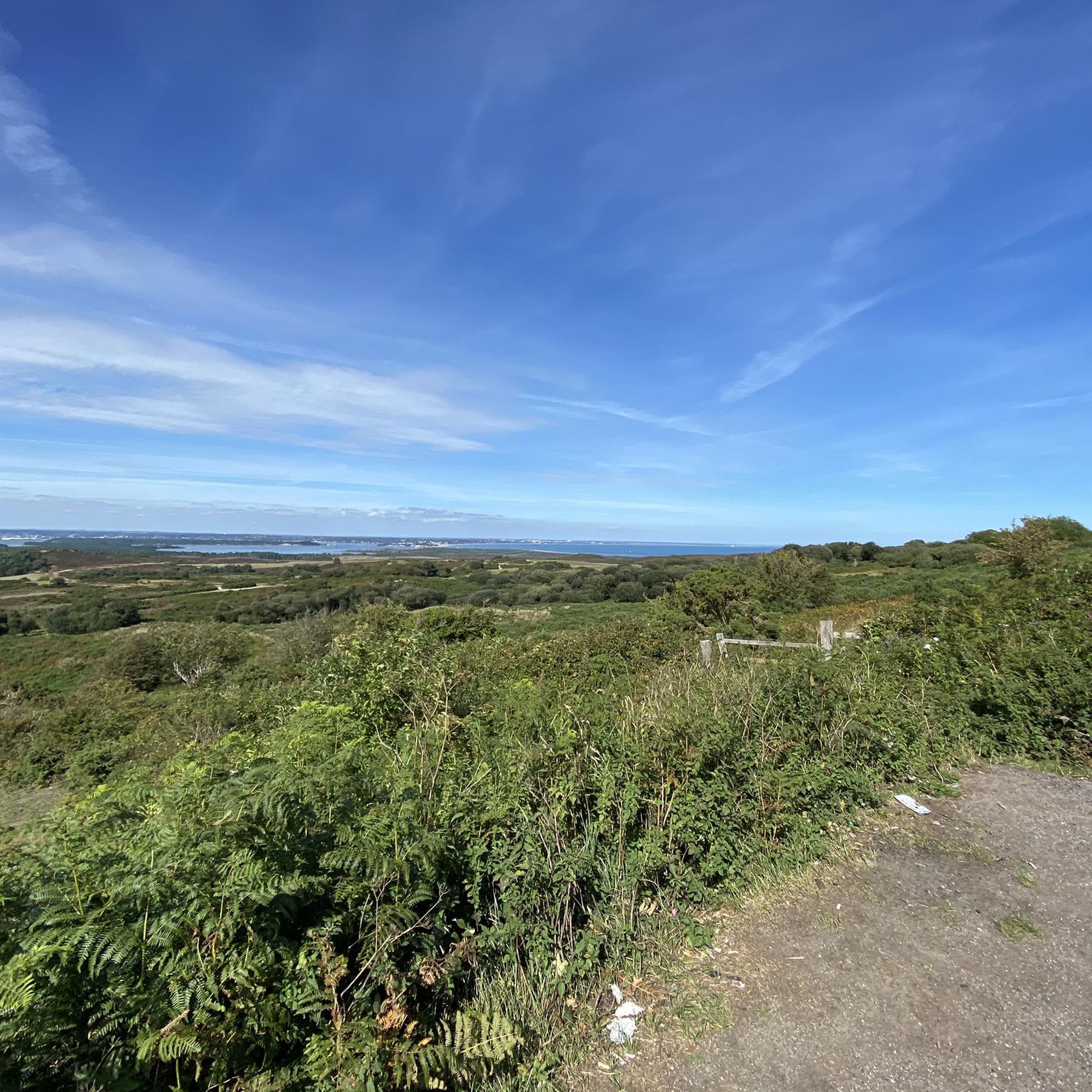
Jogging routes around Tarrant Crawford traverse the tranquil Tarrant Valley, characterized by its unique chalk stream, the River Tarrant, and undulating chalk downland. The area is situated within the Cranborne Chase and West Wiltshire Downs National Landscape, offering protected natural environments for running. Joggers can experience varied terrain, from lush water meadows and ancient woodlands to gentle hills, providing diverse scenery throughout the seasons.
Best jogging routes around Tarrant Crawford
- The most popular jogging route is Spetisbury Station loop from Spetisbury, a 7.6 miles (12.2 km) trail that takes 1 hour 17 minutes to complete. This moderate route offers views of the surrounding countryside.
- Another top favourite among local runners is Spetisbury Rings Hill Fort – Tarrant Crawford Bridge loop from Spetisbury, a moderate 6.8 miles (11.0 km) path. This route includes historical features and scenic river sections.
- Local runners also love the North Dorset Trailway – Blandford Forum Market Place loop from Spetisbury, a 9.0 miles (14.4 km) trail leading through the scenic North Dorset Trailway, often completed in about 1 hour 32 minutes.
- Jogging around Tarrant Crawford is defined by undulating chalk downland, the Tarrant Valley, and ancient woodlands. The network offers options for different ability levels, from gentle riverside paths to more challenging ascents.
- The routes in Tarrant Crawford are highly rated by the komoot community with an average score of 4.4 stars from over 20 reviews. More than 2000 runners have used komoot to explore Tarrant Crawford's varied terrain.
Last updated: May 20, 2026
42
runners
12.2km
01:17
100m
100m
Moderate run. Good fitness required. Mostly paved surfaces. Suitable for all skill levels.
12
runners
Moderate run. Good fitness required. Mostly paved surfaces. Suitable for all skill levels.

Sign up for free
8
runners
14.5km
01:32
110m
110m
Moderate run. Good fitness required. Mostly paved surfaces. Suitable for all skill levels.
3.0
(1)
9
runners
Moderate run. Good fitness required. Mostly paved surfaces. Suitable for all skill levels.
3.0
(1)
9
runners
Moderate run. Good fitness required. Mostly paved surfaces. Suitable for all skill levels.
Get access to more routes and recommendations from other explorers.
Sign up for free
Already have an account?
Our route recommendations are based on thousands of hikes, rides, and runs completed by other people on komoot.
Start today with a free account
Your next adventure awaits.
Login or Signup
Tips from the Community

The North Dorset Trailway Connection Today, Spetisbury Station is a popular access point for the North Dorset Trailway. Trailhead: The section of the Trailway running from Spetisbury north to Sturminster Newton, largely following the old railway bed, is a well-maintained, traffic-free path for walking, cycling, and riding. Visitor Stop: The former station site makes a perfect place to stop, rest, and picnic while exploring the Trailway, offering fine views over the Stour Valley. It's a wonderful example of local history being preserved and repurposed for community and recreation!
0
0
The Spetisbury Station Project Unlike the bridge at Blandford, which remains a preserved structure, the Spetisbury station site is being actively restored by volunteers. The Project: The Spetisbury Station Project Group was formed in 2012 by dedicated volunteers to clear and preserve the abandoned site. What You Can See: While the original station buildings were demolished shortly after the 1956 closure, the project has cleared the site to reveal the foundations of the station buildings, the booking office, and the signal box. Ambience: The site is now a peaceful, landscaped green space featuring picnic areas, benches, and information boards. Volunteers have added replica signage and restored the platforms to recreate the atmosphere of the former country station. Wildlife Haven: The site is also managed to be a haven for local wildlife, with features like a wildlife pond, bat boxes, and specific flower borders.
0
0
The Railway and Closure Original Line: Spetisbury Station was located on the Somerset & Dorset Joint Railway (S&DJR), which connected Bath to Bournemouth. Opening: It originally opened on November 1, 1860, as part of the Dorset Central Railway's line from Wimborne to Blandford. It initially had a single platform. Double Track: Around 1901, the line was doubled through the station, and a second platform and a signal box were added to handle the increased traffic. Downgrade: Like many rural stations seeking to cut costs, it was downgraded to an unstaffed "halt" in 1934. Passenger Closure: The station closed completely to passengers on September 17, 1956, one of the early closures on the S&D line. Line Closure: Although the station itself was closed, the main S&DJR line through the site continued to operate passenger services until the whole route closed in March 1966. Goods traffic ceased in 1969, and the track was lifted in 1970.
0
0
The structure you see today stands in isolation in the flood meadows and acts as a major landmark for the area. North Dorset Trailway: The former railway line's route, including the embankment leading up to the remaining arches, has been repurposed as the North Dorset Trailway. This popular multi-use path is enjoyed by walkers, cyclists, and horse riders, and stretches for miles along the former trackbed. Stour Meadows Park: The park itself is a beautiful area for recreation and nature walks, situated next to the River Stour, and the preserved arches are a key historic feature on the route. Essentially, the remaining spans of the railway bridge are a powerful, tangible reminder of a celebrated piece of British railway history that once played a vital role in the commercial and social life of Blandford Forum.
0
0
The former railway bridge in Stour Meadows (part of the wider flood meadows near the River Stour) is significant for several reasons: The Line: It carried the Somerset & Dorset Joint Railway line, which ran a crucial cross-country route connecting Bath to Bournemouth. The Town's Station: The bridge was essential for the railway to reach the final location of Blandford Forum Station, which opened north of the River Stour in 1863. This required the extension of the line from its original temporary terminus south of the river at Blandford St Mary. Closure: The entire S&DJR line, often referred to simply as the "S&D," was closed as a result of the infamous Beeching Cuts. The Blandford station closed to passengers in March 1966, with the track eventually lifted around 1969. Demolition & Preservation: Following the line's closure, the original railway bridge that crossed the River Stour was largely demolished. However, two of its arches/spans were saved and are still visible in the meadows today. This is thanks to the efforts of local groups, like the Blandford Railway Arches Trust, who recognized their historical importance.
1
0
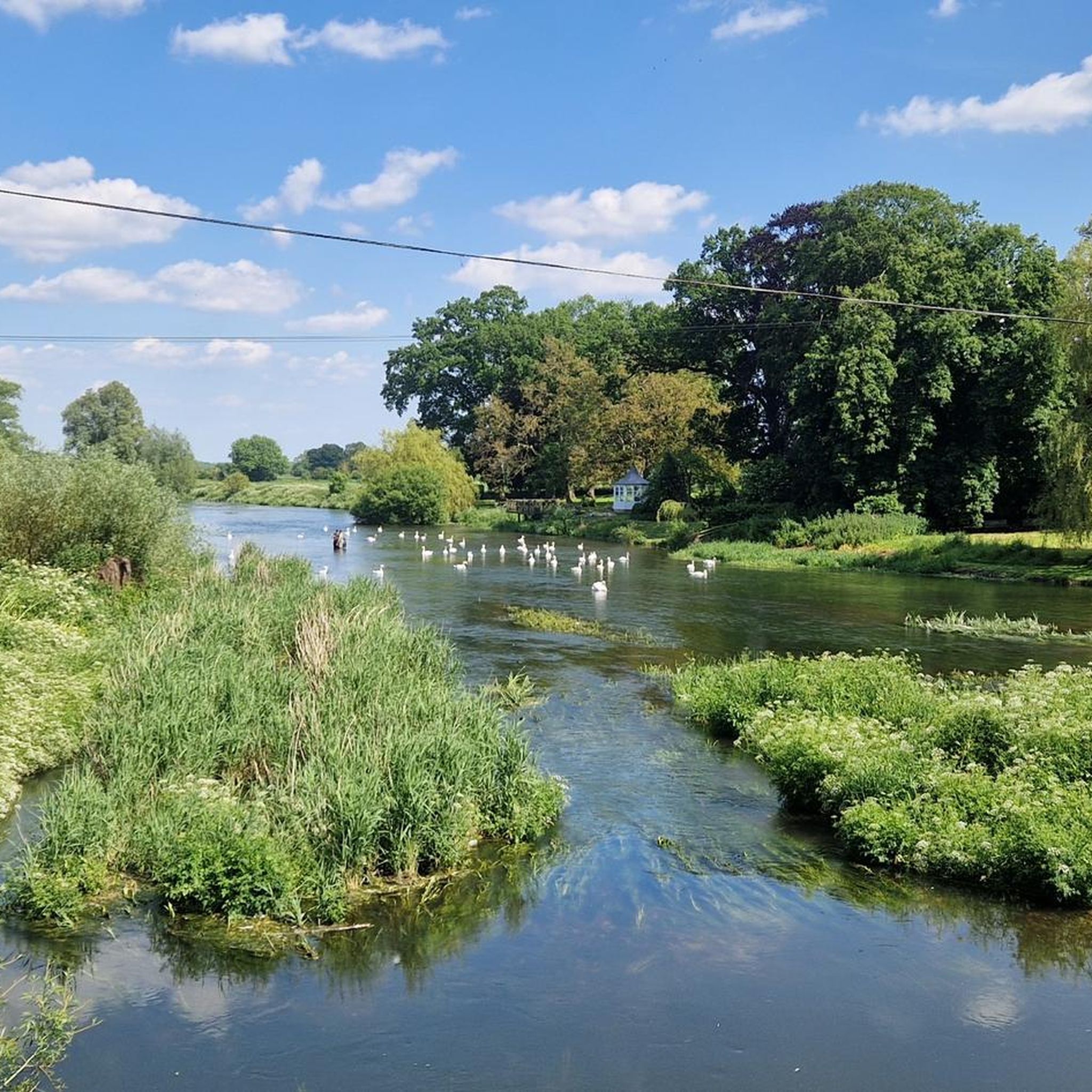
Historic Significance: It is a Grade I Listed Building (the highest level of protection), noted for its special architectural and historic interest. Age: The first record of the bridge dates back to 1334, suggesting its medieval origins, with parts of the current structure likely dating to the 15th century. Construction: It is built of coursed rubble and ashlar stone and features nine semi-circular arches. Widening: The bridge was widened in 1819. The upstream side is the original, medieval part and features triangular cut-waters which extend up to form pedestrian refuges. The downstream side is the later, plainer widening. Inscriptions: There is a reset stone on the east side of the bridge inscribed with the year 1719. Name Origin: The bridge is named Crawford Bridge because it carries the road from Spetisbury to Tarrant Crawford. The nearby area of Spetisbury was historically one of three manors, including Great Crawford.
0
0

Single lane beware of on coming vehicles
0
0
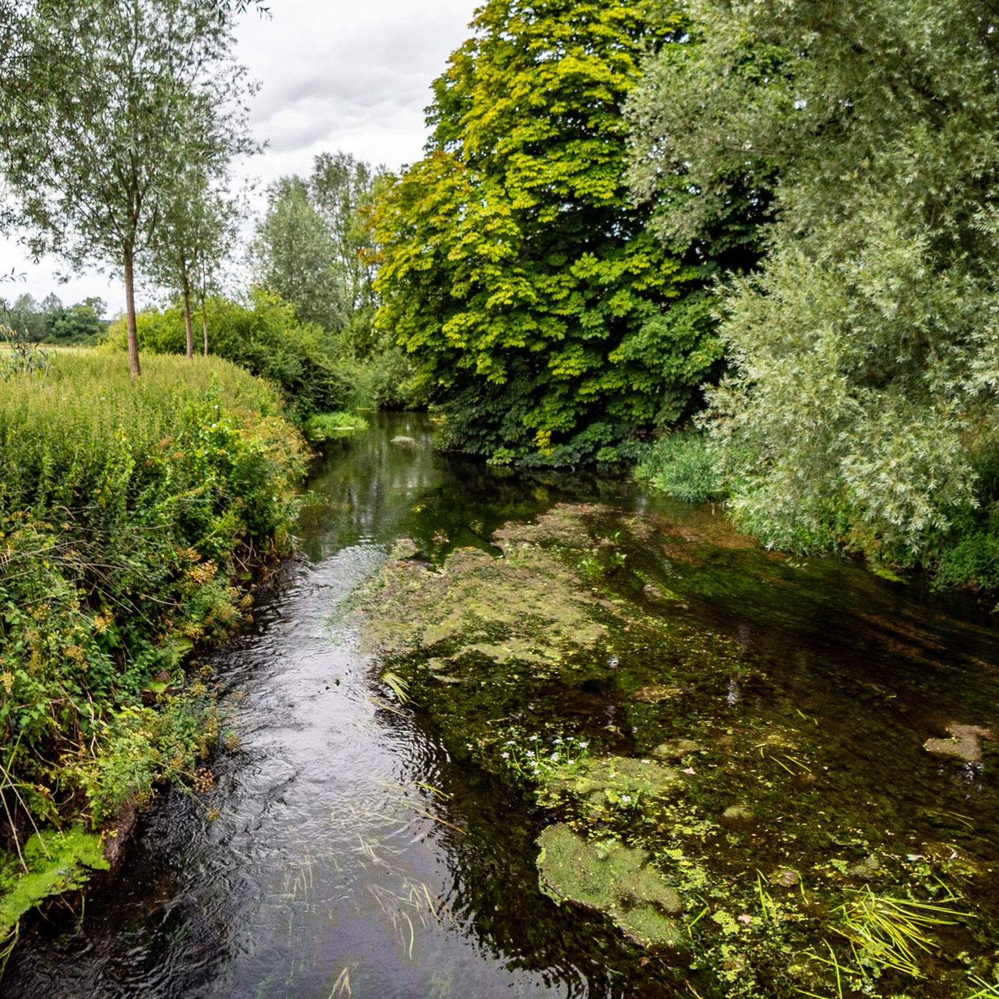
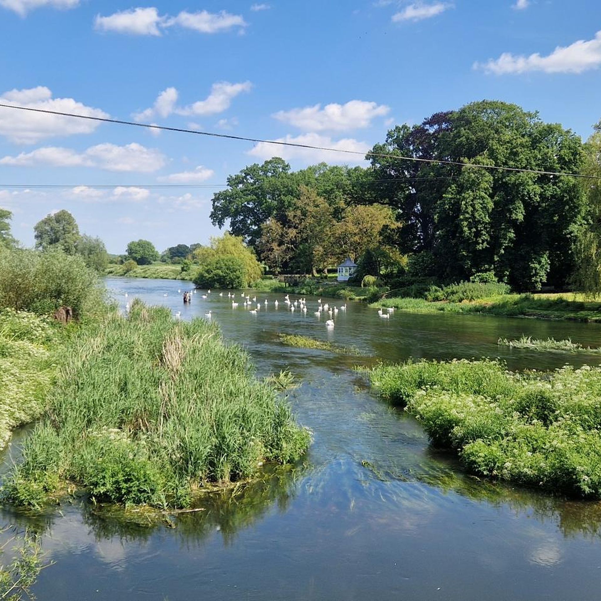
The River Tarrant is a small but significant river in Dorset, England. Such clear water. Secluded and peaceful
0
0
Frequently Asked Questions
How many running routes are available around Tarrant Crawford?
There are nearly 200 running routes around Tarrant Crawford documented on komoot. These routes offer a variety of experiences, from easy riverside paths to more challenging ascents through the undulating chalk downland.
What kind of terrain can I expect on jogging routes in Tarrant Crawford?
Jogging routes in Tarrant Crawford feature diverse terrain, including lush water meadows along the River Tarrant, ancient woodlands, and undulating chalk downland. The area is part of the Cranborne Chase and West Wiltshire Downs National Landscape, ensuring protected and scenic environments for your run.
Are there any easy running routes suitable for beginners in Tarrant Crawford?
Yes, Tarrant Crawford offers a selection of easier running routes. You can find 21 routes classified as 'easy' on komoot, perfect for beginners or those looking for a more relaxed run. These often follow gentler paths through the Tarrant Valley.
Can I find circular jogging routes in Tarrant Crawford?
Many of the running routes around Tarrant Crawford are circular, allowing you to start and finish at the same point. For example, the Spetisbury Station loop from Spetisbury is a popular moderate circular route covering 7.6 miles (12.2 km).
What interesting landmarks or natural features can I see while running in Tarrant Crawford?
Running in Tarrant Crawford offers views of several interesting features. You might encounter historical sites like the site of the former Tarrant Abbey or the ancient earthworks of Badbury Rings Iron Age hillfort. Natural highlights include the unique River Tarrant, ancient woodlands, and expansive views across the Cranborne Chase and West Wiltshire Downs National Landscape.
Are there any running routes that follow a dedicated trail?
Yes, the North Dorset Trailway is a notable highlight for runners. This gravel path provides an off-road experience through scenic countryside. You can explore routes like the North Dorset Trailway – Blandford Forum Market Place loop from Spetisbury, which incorporates sections of this trail.
What do other runners say about the routes in Tarrant Crawford?
The running routes in Tarrant Crawford are highly rated by the komoot community, with an average score of 4.4 stars from over 20 reviews. Runners often praise the tranquil rural landscapes, the varied scenery, and the opportunity to combine physical activity with exploring historical features.
Are there any routes that pass by historical sites?
Absolutely. Many routes incorporate historical elements. For instance, the Spetisbury Rings Hill Fort – Tarrant Crawford Bridge loop from Spetisbury includes historical features and scenic river sections. You can also find routes that pass near the site of the former Tarrant Abbey or ancient hill forts.
When is the best time of year to go jogging in Tarrant Crawford?
Tarrant Crawford offers beautiful jogging conditions throughout the year, with seasonal variations. Spring brings lush water meadows and bluebells in ancient woodlands. Summer provides peaceful dry valleys. The River Tarrant, a winterbourne, flows strongly in winter, creating a dynamic landscape. Each season offers a unique experience.
Are there options for longer running routes in the area?
Yes, Tarrant Crawford has several longer running routes. For example, the North Dorset Trailway – Blandford Forum Market Place loop from Spetisbury is a 9.0-mile (14.4 km) trail, offering a more extended run through the scenic countryside.
Are there any running routes that offer views of the River Tarrant?
Many routes in Tarrant Crawford traverse the tranquil Tarrant Valley, offering views of the River Tarrant. This unique chalk stream flows strongly in winter and can dry up in summer, providing varied scenery throughout the year, from lush water meadows to peaceful dry valleys.
What are some of the more challenging running routes in Tarrant Crawford?
For those seeking a challenge, Tarrant Crawford offers 39 routes classified as 'difficult' on komoot. These routes often feature more significant uphill sections through the undulating chalk downland, providing a good workout and expansive views.
Most popular attractions around Tarrant Crawford

Get inspired with the komoot mobile app


Explore more
Browse the best Running Trails & Routes in other regions.
