The best road cycling routes around Lac de Monteynard-Avignonet
4.6
(244)
4,557
riders
115
rides
Road cycling routes around Lac de Monteynard-Avignonet are set within the Isère region of France, characterized by a large artificial lake with turquoise waters. The area features varied terrain, including surrounding alpine landscapes, river valleys, and mountain passes. Cyclists encounter significant altitude changes, with routes often traversing between 300 and 1600 meters, offering demanding climbs and descents on paved roads. The region's geography provides a dynamic cycling experience with views of the Ecrins, Vercors, and Chartreuse massifs.
Best road cycling…
Last updated: July 1, 2026
4.9
(10)
156
riders
55.1km
03:21
1,280m
1,280m
Hard road ride. Very good fitness required. Mostly well-paved surfaces and easy to ride.
4.7
(14)
189
riders
41.4km
02:14
800m
800m
Moderate road ride. Good fitness required. Mostly well-paved surfaces and easy to ride.

Sign up for free
5.0
(1)
21
riders
20.7km
01:19
570m
580m
Moderate road ride. Good fitness required. Mostly well-paved surfaces and easy to ride.
21
riders
41.6km
02:23
980m
980m
Hard road ride. Very good fitness required. Mostly well-paved surfaces and easy to ride.
4.0
(2)
20
riders
22.6km
01:20
500m
500m
Moderate road ride. Good fitness required. Mostly well-paved surfaces and easy to ride.
Get access to more routes and recommendations from other explorers.
Sign up for free
Already have an account?
Our route recommendations are based on thousands of hikes, rides, and runs completed by other people on komoot.
Start today with a free account
Your next adventure awaits.
Login or Signup
Popular around Lac de Monteynard-Avignonet


Tips from the Community

From Saint-Michel-les-Portes, it's about 7 km at an average gradient of 8%. The last few kilometers often reach double digits. A cruel climb if it's the last one of your day...
0
0
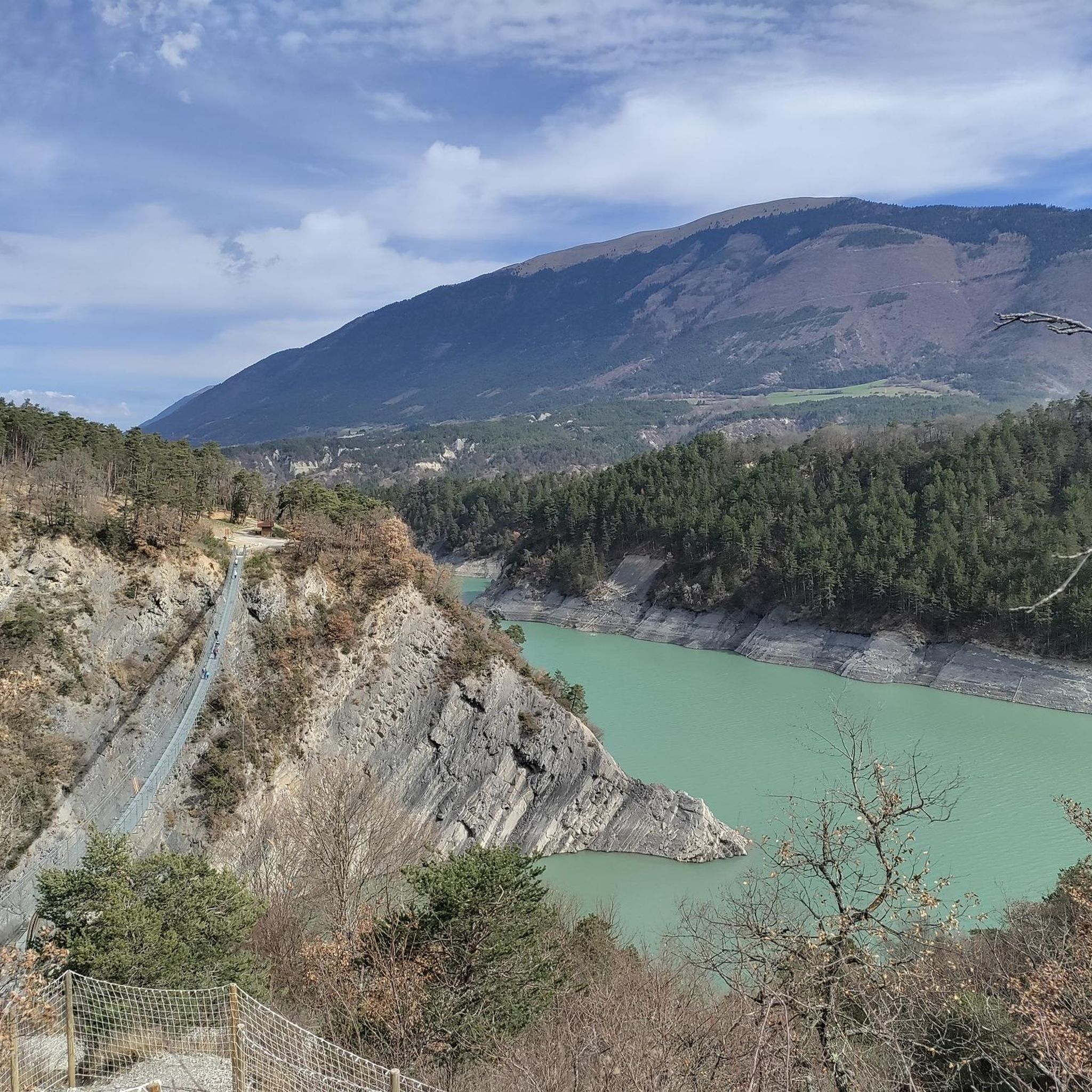
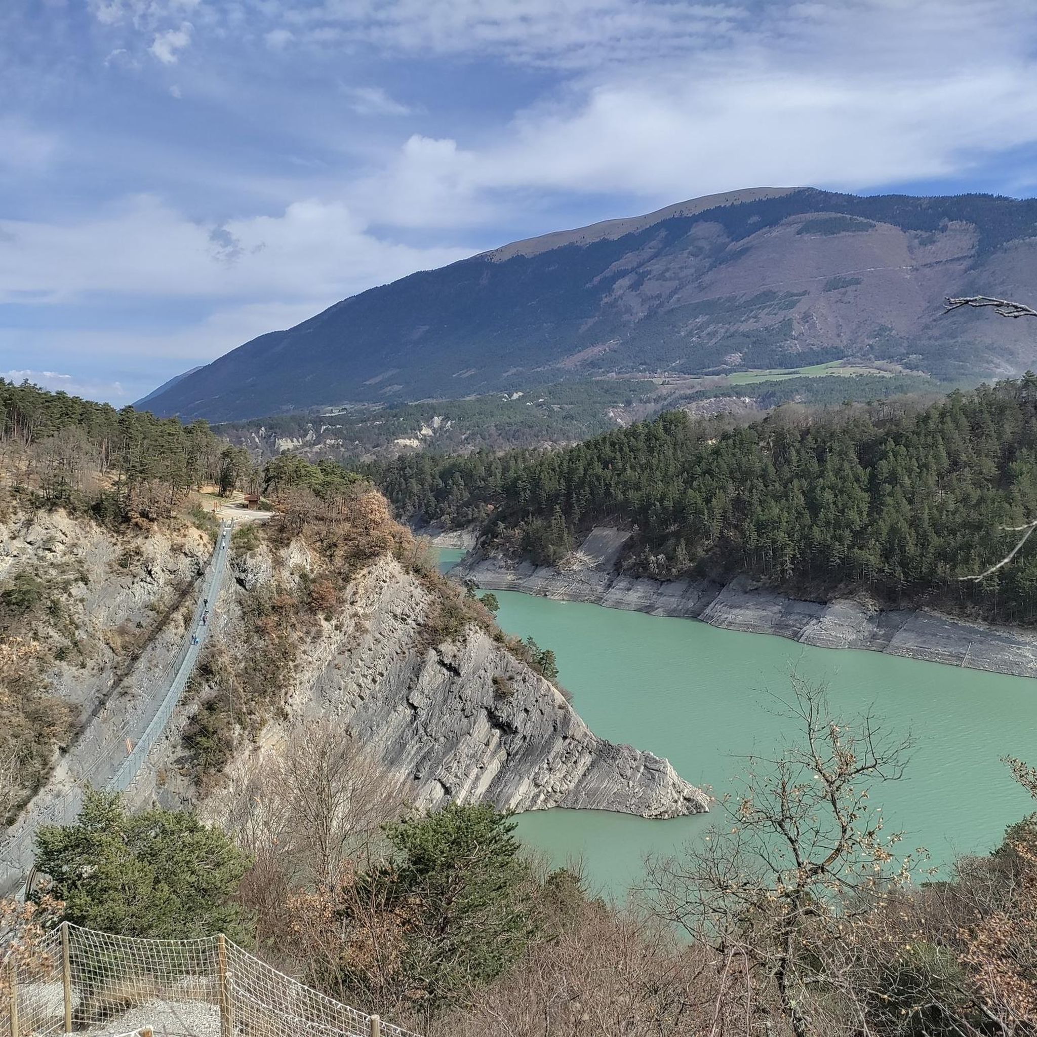
Beautiful view of the steep banks of Lake Monteynard-Avignonet.
0
0

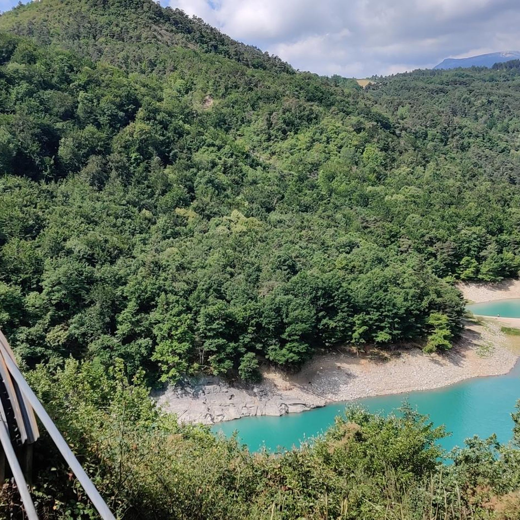
Beautiful view and nice place with a table
0
0

fairly easy, very nice views, quiet roads.
0
0

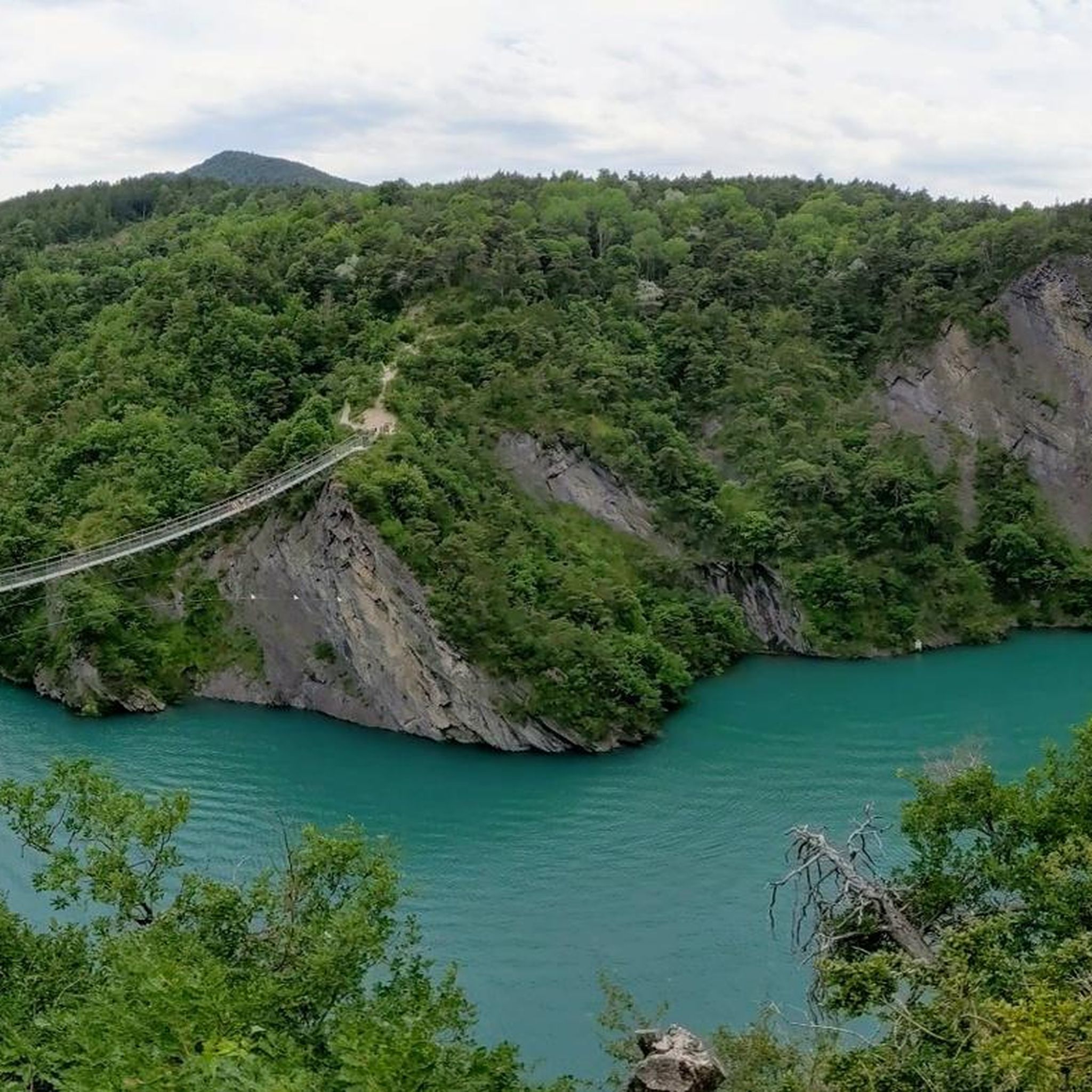
The Brion Bridge is a suspension bridge over the Hebron River, connecting the towns of Roissard and Lavars. The bridge has only one lane.
0
0
This is one of three mine shafts in the Mure basin. The shaft at La Motte d'Aveillans was closed in 1956. Today, it is a museum that traces the history of coal mining in La Mûre.
0
0
It is from the road to La Corniche that we have the most beautiful views of Lake Monteynard
0
0
Frequently Asked Questions
What kind of terrain can I expect on road cycling routes around Lac de Monteynard-Avignonet?
The region offers varied terrain, characterized by significant altitude changes. You'll encounter demanding climbs and descents on paved roads, often traversing between 300 and 1600 meters. The routes provide stunning views of the surrounding alpine landscapes, including the Ecrins, Vercors, and Chartreuse massifs, and the lake's turquoise waters.
Are there challenging road cycling routes available in the Lac de Monteynard-Avignonet area?
Yes, the area is well-known for its demanding road cycling routes. For instance, the Collet of Sinard, 900 m – Col de l'Allimas loop from Treffort is a difficult 54.5 km trail with substantial elevation gain. Another challenging option is the Collet of Sinard, 900 m – Pont de Brion loop from Treffort, covering 41.6 km.
What are some scenic viewpoints or attractions I can see while road cycling around Lac de Monteynard-Avignonet?
Many routes offer panoramic views of the lake and surrounding mountains. You can also incorporate unique attractions into your ride. For example, the impressive dam structure is visible on routes like the Hydraulic dam wall loop from Treffort. The area is also home to the famous Himalayan footbridges, such as the Ebron Footbridge and Drac Footbridge, which are primarily for hiking but offer spectacular views.
Are there any moderate road cycling routes suitable for those looking for a less intense ride?
Absolutely. While many routes are challenging, there are also moderate options. The Hydraulic dam wall loop from Treffort is a moderate 20.4 km path offering views of the lake and dam. Another great choice is The Drac Corniche loop from Plage de Mayres Savel, a moderate 35.7 km trail that follows river valleys and the lake's edge.
What do other road cyclists say about the routes in Lac de Monteynard-Avignonet?
The road cycling routes around Lac de Monteynard-Avignonet are highly rated by the komoot community, with an average score of 4.5 stars from over 160 reviews. Cyclists often praise the stunning turquoise lake views, the dramatic alpine landscapes, and the engaging challenge of the mountain passes.
How many road cycling routes are available in the Lac de Monteynard-Avignonet area?
There are over a dozen dedicated road cycling routes around Lac de Monteynard-Avignonet listed on komoot, offering a range of distances and difficulties to explore the region's diverse landscapes.
Can I find loop road cycling routes around Lac de Monteynard-Avignonet?
Yes, many of the road cycling routes in the area are loops, allowing you to start and finish at the same point. Examples include the Collet of Sinard, 900 m – Col de l'Allimas loop from Treffort and the Cognet bridge loop from Chardeau, providing convenient circular journeys.
What is the best time of year for road cycling around Lac de Monteynard-Avignonet?
While not explicitly stated, given the alpine landscape and significant elevation changes, the warmer months from late spring to early autumn (May to October) are generally ideal for road cycling in the region, offering more stable weather and clear roads. Always check local weather conditions before heading out.
Are there any specific points of interest related to bridges or dams on the cycling routes?
Yes, the region is notable for its impressive engineering. You can cycle routes that offer views of the large artificial lake's dam structure, such as the Hydraulic dam wall loop from Treffort. Additionally, the View of the Brion Bridge is another highlight in the area.
What are the general road conditions like for cycling in this region?
The road cycling routes around Lac de Monteynard-Avignonet primarily consist of paved roads, ensuring a smoother ride for road cyclists. However, be prepared for constant changes in altitude and winding roads typical of an alpine environment.
Are there any routes that follow the Drac river?
Yes, you can find routes that trace the river valleys. The The Drac Corniche loop from Plage de Mayres Savel is a great example, leading through river valleys and along the lake's edge, where the Drac river converges with the Ebron.
What are the typical distances for road cycling routes in this area?
The routes vary in length to suit different preferences. You can find shorter, moderate loops around 20 km, such as the Hydraulic dam wall loop from Treffort, up to more challenging and longer rides exceeding 50 km, like the Collet of Sinard, 900 m – Col de l'Allimas loop from Treffort.
Most popular routes around Lac de Monteynard-Avignonet
Most popular attractions around Lac de Monteynard-Avignonet

Get inspired with the komoot mobile app


Explore more
Browse the best Road cycling routes in other regions.
