The 12 Most Amazing Peaks around Penyrheol Trecenydd & Energlyn
Best mountain peaks around Penyrheol Trecenydd & Energlyn are found within the Caerphilly county borough in South Wales, an area known for its elevated landscapes. This community, situated at an altitude of 133 meters, is surrounded by prominent hills often referred to as mountains due to their recreational value. These natural features provide opportunities for hiking, cycling, and enjoying panoramic views across the region. The area's terrain includes grassy slopes, heather-strewn hillsides, and forested sections, offering diverse outdoor experiences.
Best…
Last updated: June 29, 2026
Mynydd Machen Summit
Highlight • Viewpoint
Tip by

Garth Summit
Highlight • Viewpoint
Tip by

Sign up now to discover places like this
Get recommendations on the best single tracks, peaks, & plenty of other exciting outdoor places.
Sign up for free
Caerphilly Mountain Summit
Highlight • Viewpoint
Tip by
Craig yr Allt
Highlight • Trail
Tip by
Coed Craig Ruperra Hill Fort
Highlight • Summit
Tip by

Sign up for free to discover even more peaks around Penyrheol Trecenydd & Energlyn.
Sign up for free
Already have an account?
Start today with a free account
Your next adventure awaits.
Login or Signup
Popular around Penyrheol Trecenydd & Energlyn
Cycling around Penyrheol Trecenydd & Energlyn
Road Cycling Routes around Penyrheol Trecenydd & Energlyn
MTB Trails around Penyrheol Trecenydd & Energlyn
Hiking around Penyrheol Trecenydd & Energlyn
Running Trails around Penyrheol Trecenydd & Energlyn
Gravel biking around Penyrheol Trecenydd & Energlyn
Tips from the Community

Nice ascent from Crosskeys, but watch out for very overgrown pathways on the Machen side. Great views from the top!
1
0
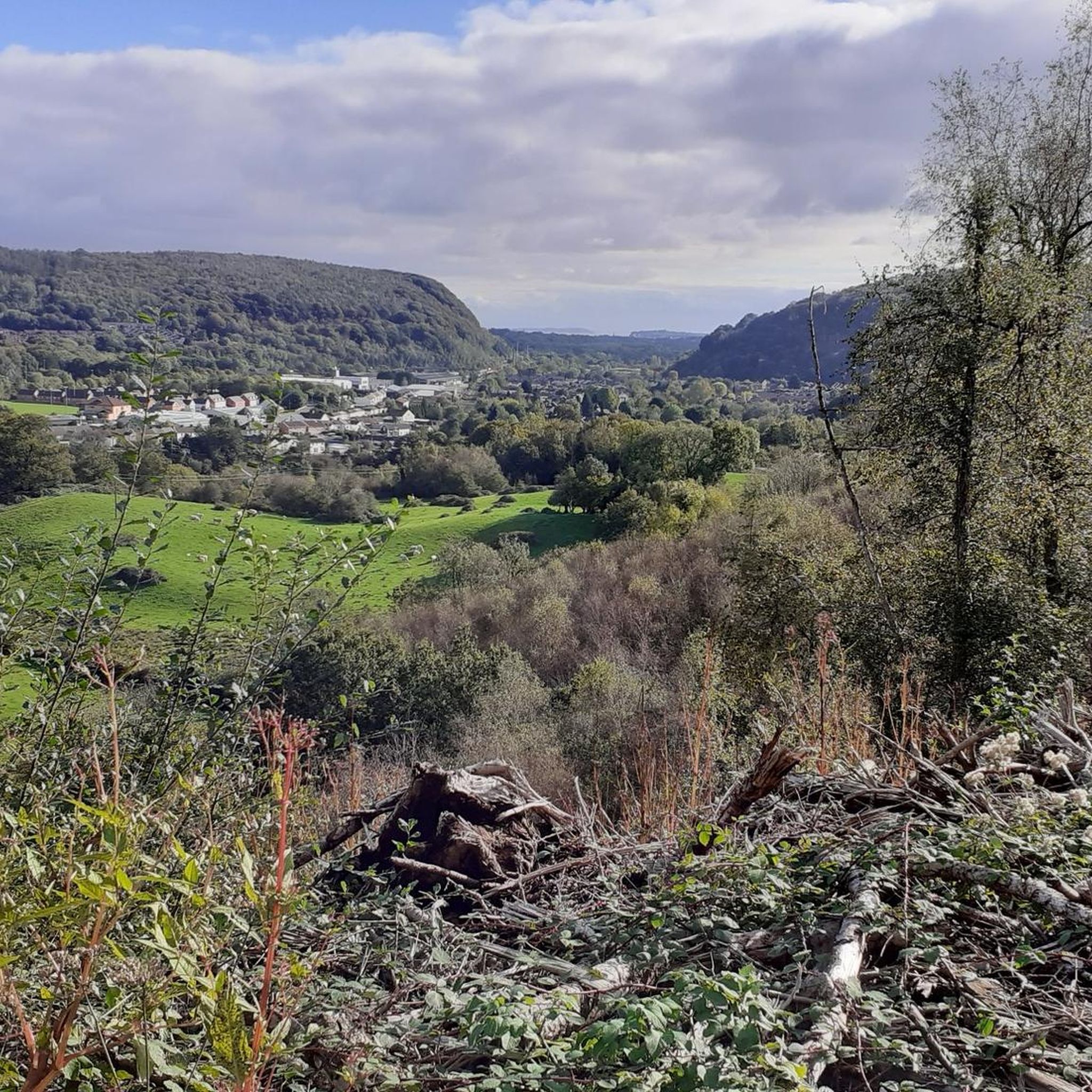
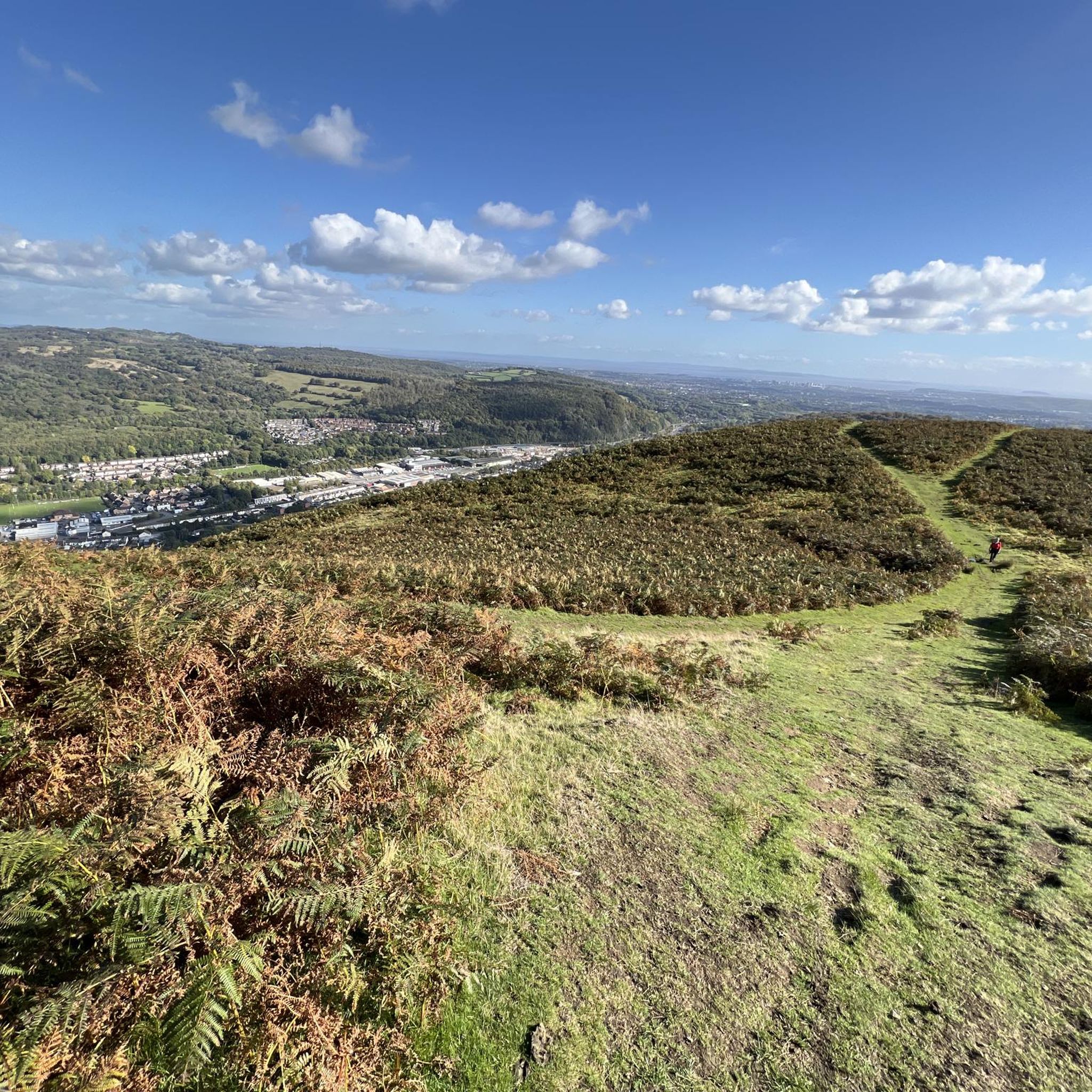
The Garth has a nice flat top with views across the valleys. Lots of sheep grazing too (March). Also a number of mounds provide some cover from the wind if a break is in order
0
0

Caerphilly Mountain is located in the Vale of Glamorgan in Caerphilly and stands at 271 m above sea level. There are some magnificent panoramic views on offer here across Cardiff and Caerphilly, Feet, and on a sunny day, even over to Flat Home and Steep Home Islands, a pair of welsh islands lying in the Bristol Channel.
2
0

The earliest evidence of settlement at Ruperra is from between around 700 BC and 100 AD, when an Iron Age Hill Fort was constructed along the ridge of Coed Craig Ruperra. The splendid panoramic views from the top of the ridge would have given the site a strategically strong position. Defensive banks and ditches are still visible around the area of the mound, and continuing work on the site will reveal these more clearly. This hill fort lies within what would have been the tribal territory of a people the Romans called the Silures, who were a fiercely independent nation inhabiting the vale of Glamorgan, Gwent and the valleys
1
0

Lovely place to visit you can walk up to the top where there’s a grassy platform. Great views across the forest and out to the sea. Definitely worth a visit
1
0

plenty of free parking in Machen next to the village hall and library
1
0

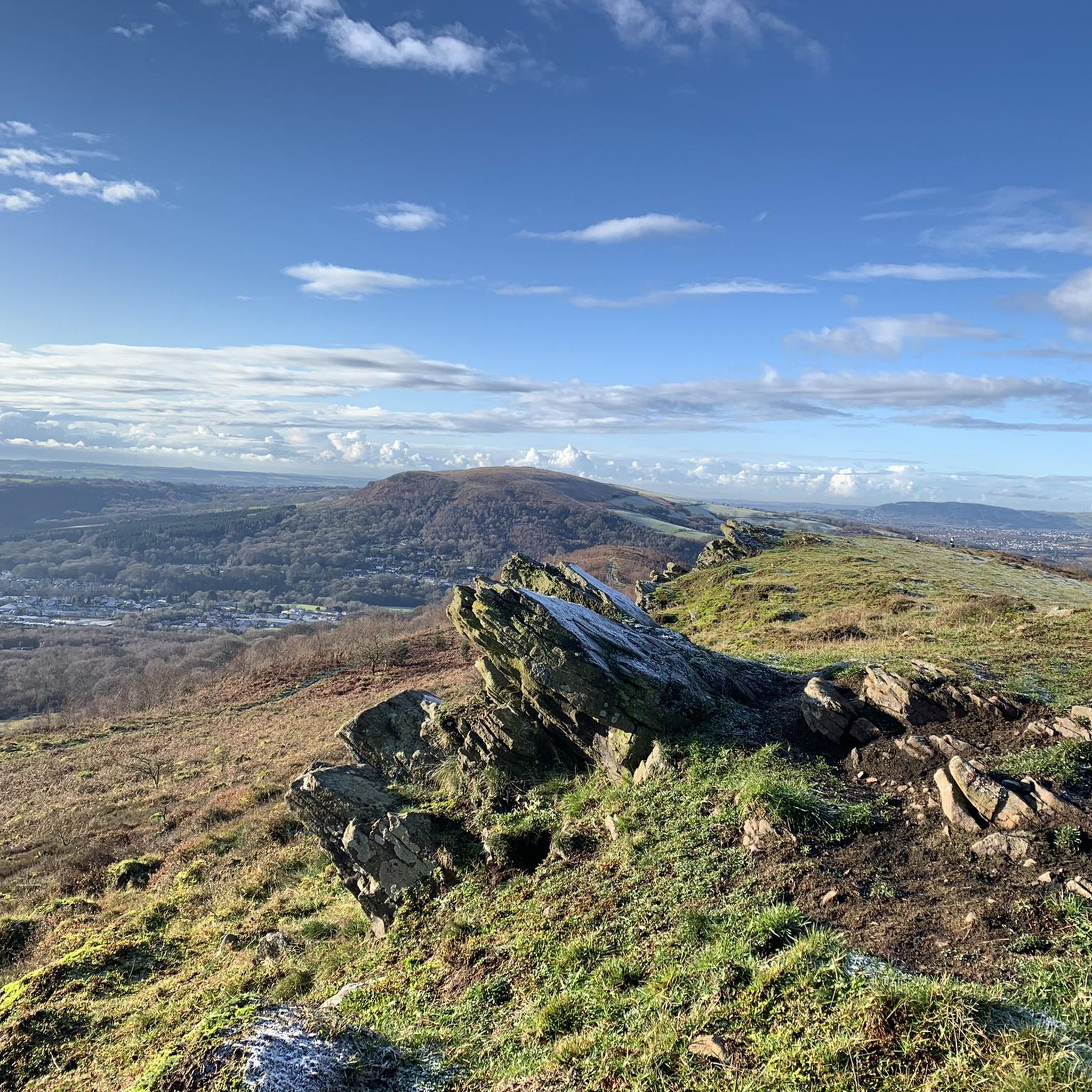
Mynydd Machen is a 1,188-foot (362 m) hill in South Wales which affords glorious views over Newport, Cardiff, Steep Holm, Flat Holm, Brean Down, and the Severn Estuary. The summit is marked by the rock 10 feet (3 m) northwest of the trig point.
2
0
Frequently Asked Questions
What are some of the most popular mountain peaks to visit around Penyrheol, Trecenydd & Energlyn?
The area offers several prominent peaks known for their views and recreational opportunities. Highly recommended are Garth Summit, a UK listed Marilyn with commanding views, and Craig yr Allt, which provides expansive 360-degree panoramic views. Caerphilly Mountain Summit is also a local favorite, offering magnificent views and amenities.
What kind of views can I expect from the mountain peaks in this area?
From the various peaks, you can expect extensive panoramic views. For instance, from Craig yr Allt, you can see across Cardiff, the Bristol Channel, Pontypridd, and Caerphilly Mountain. Caerphilly Mountain Summit offers views stretching to Cardiff Bay, the Principality Stadium, and on clear days, even the River Severn and Weston-super-Mare. Mynydd Machen Summit provides glorious views over Newport, Cardiff, and the Severn Estuary.
Are there any historical sites on these mountain peaks?
Yes, several peaks have historical significance. Garth Summit is notable for its ancient Bronze Age burial mounds (tumuli) dating back to around 2000 BC. Additionally, Coed Craig Ruperra Hill Fort features an Iron Age hill fort with visible defensive banks and ditches, offering a glimpse into the region's past.
Are there family-friendly mountain walks around Penyrheol, Trecenydd & Energlyn?
Many of the elevated areas offer accessible trails suitable for families. Craig yr Allt, for example, has well-maintained trails. Caerphilly Mountain also provides various walking routes, including a 6.6-mile circular loop, and features a modern snack bar near the summit for convenience. For easy hikes, consider routes like the 'Hiking loop from Penyrheol' or the 'Caerphilly Mountain Summit loop from Caerphilly', which are listed in the Easy hikes around Penyrheol Trecenydd & Energlyn guide.
What outdoor activities can I do near these mountain peaks?
Beyond hiking, the region is popular for cycling and mountain biking. Craig yr Allt is a popular location for mountain biking, and Caerphilly Mountain is famous in the cycling world, having been part of the Tour of Britain. You can find various cycling routes in the Cycling around Penyrheol Trecenydd & Energlyn guide, including routes like the 'Hengoed Viaduct – Caerphilly Castle loop'. For gravel biking, explore options in the Gravel biking around Penyrheol Trecenydd & Energlyn guide.
Are there hiking trails near these mountain peaks?
Yes, the area is rich with hiking trails. The Taff Ely Ridgeway Walk passes over Craig yr Allt, and Garth Hill offers a 3.4km circular trail to its summit. Caerphilly Mountain also has numerous walking routes. For specific hiking options, check out the Easy hikes around Penyrheol Trecenydd & Energlyn guide, which includes routes like the 'Groeswen Chapel loop from Caerphilly'.
What are some lesser-known 'mountains' in the Caerphilly basin worth exploring?
Beyond the more prominent peaks, the Caerphilly basin includes Eglwsylian Mountain, known for offering some of the best views of Caerphilly town. Rudry Mountain features nature trails for outdoor enthusiasts, and Y Grud Mountain (also known as Bedwas Mountain) is the highest in Caerphilly, though with more limited views. These offer opportunities to explore the local countryside and natural beauty.
What amenities are available near the mountain peaks?
Near Caerphilly Mountain Summit, you'll find a modern, eco-friendly snack bar, providing a convenient stop for refreshments. For other peaks, it's advisable to check local village amenities or plan to bring your own supplies, as facilities can be more spread out.
What makes Garth Hill a unique destination?
Garth Hill, also known as 'The Garth', is a Marilyn with spectacular scenery and ancient Bronze Age burial mounds at its summit. It gained further recognition as the inspiration for the novel and film 'The Englishman Who Went Up a Hill But Came Down A Mountain', adding a cultural layer to its natural beauty.
Is there parking available for accessing these mountain peaks?
Yes, for Caerphilly Mountain Summit, there is a large car park available. For Mynydd Machen Summit, there is plenty of free parking in Machen next to the village hall and library. For other peaks, parking may be available in nearby villages or designated lay-bys, but it's always recommended to check local information before your visit.
What is the terrain like on the mountain peaks around Penyrheol, Trecenydd & Energlyn?
The terrain generally consists of grassy slopes and heather-strewn hillsides, offering diverse outdoor experiences. Some areas, like Coed Craig Ruperra Hill Fort, also feature forested sections. The paths can range from well-maintained trails to more challenging, rugged sections, catering to various hiking abilities.
Most popular routes around Penyrheol Trecenydd & Energlyn
Most popular attractions around Penyrheol Trecenydd & Energlyn

Get inspired with the komoot mobile app


Explore more
See even more amazing summits around Penyrheol Trecenydd & Energlyn with these guides:
