The best road cycling routes around Lake Verney
4.6
(98)
4,394
riders
14
rides
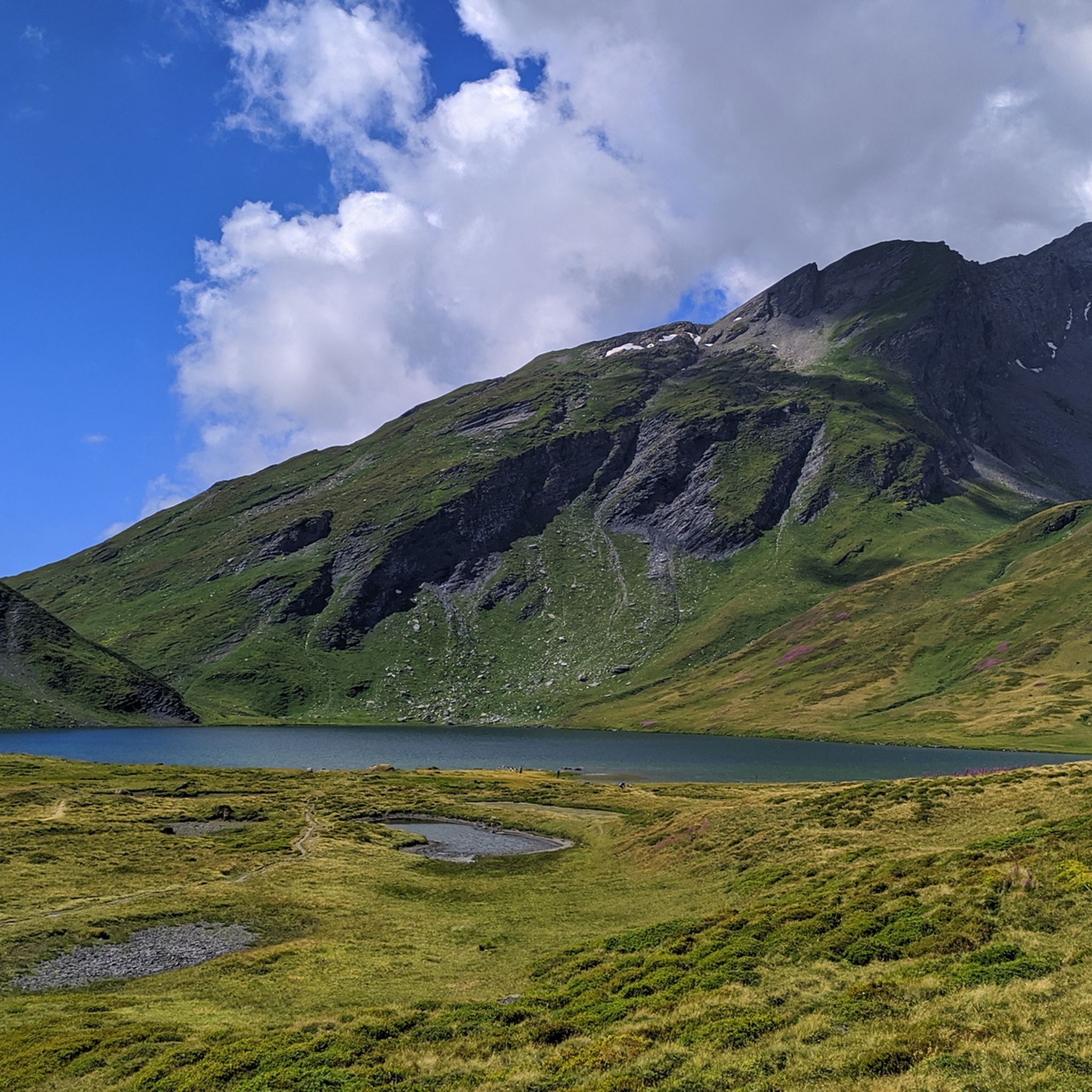
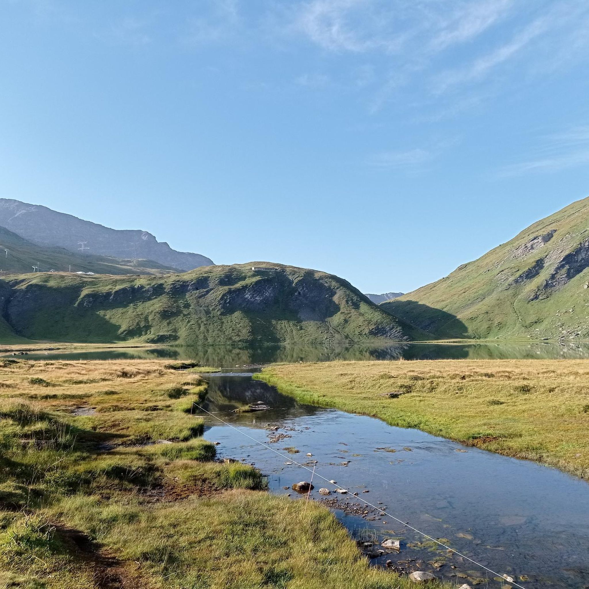
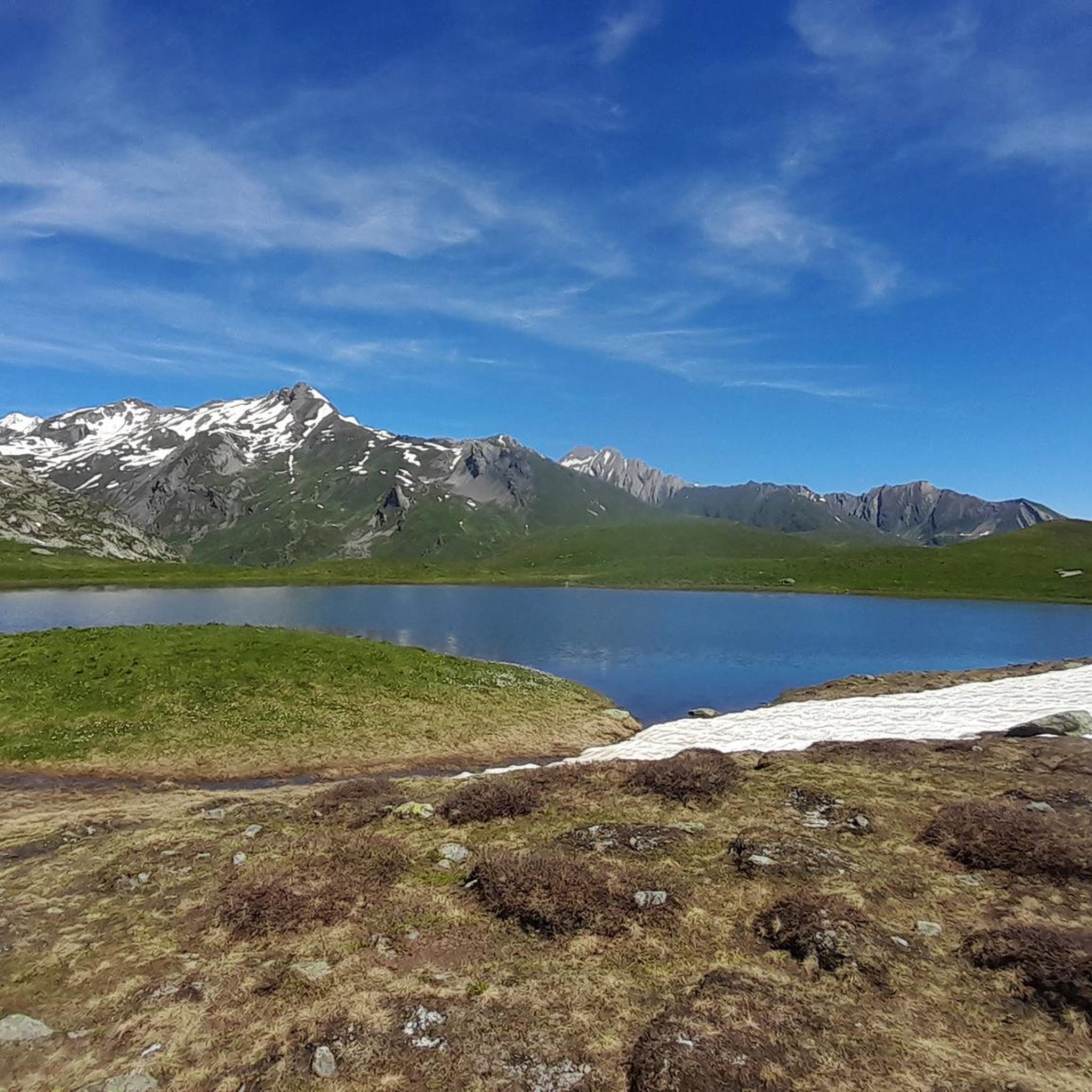
Road cycling routes around Lake Verney traverse the Aosta Valley, characterized by mountainous terrain and scenic valleys. The region offers varied elevation profiles, from lakeside paths to more challenging climbs. Cyclists can expect routes that wind through alpine landscapes.
Best road cycling routes around Lake Verney
- The most popular road cycling route is Lac du Verney – La Rosière loop from Col du Petit-Saint-Bernard, a 11.8 miles (19.1 km) trail that takes 1 hour 5 minutes to complete. This…
Last updated: July 5, 2026
4.7
(3)
182
riders
25.0km
01:34
730m
730m
Moderate road ride. Good fitness required. Mostly well-paved surfaces and easy to ride.
4.0
(1)
112
riders
Moderate road ride. Good fitness required. Mostly well-paved surfaces and easy to ride.

Sign up for free
4.6
(18)
1,069
riders
62.9km
03:42
1,600m
1,600m
Hard road ride. Very good fitness required. Mostly well-paved surfaces and easy to ride.
4.8
(4)
347
riders
118km
07:14
3,300m
3,300m
Hard road ride. Very good fitness required. Mostly well-paved surfaces and easy to ride.
4.7
(3)
186
riders
22.6km
01:26
670m
670m
Moderate road ride. Good fitness required. Mostly well-paved surfaces and easy to ride.
Get access to more routes and recommendations from other explorers.
Sign up for free
Already have an account?
Our route recommendations are based on thousands of hikes, rides, and runs completed by other people on komoot.
Start today with a free account
Your next adventure awaits.
Login or Signup
Tips from the Community

Perfect spot to take advantage and have a good refuel if you are coming from the French side.
0
0

I only posted a photo of the roundabout, which shows the "door to the Little St Bernard Pass", nothing else. If you have a problem with that, I can't help it.
0
1

This is a nice idea for the ascent.
1
0
Grandiose landscape, a dream as a descent.
2
0
Dreamlike descent, but the upper section is nicer.
2
0

A typical Aosta Valley village nestled in the mountains, a crossroads for Colle San Carlo, the Piccolo San Bernardo, and Pré-Saint-Didier. A little trivia: it was here that, at the end of the Second World War, a partisan brigade and a small republican brigade, putting aside all hatred, jointly opposed De Gaulle's attempt to annex the Aosta Valley to France.
6
0
Frequently Asked Questions
How many road cycling routes are available around Lake Verney, and what are their difficulty levels?
There are over 15 road cycling routes around Lake Verney listed on komoot. These routes cater to various skill levels, with 10 routes classified as moderate and 6 as difficult, offering options for both intermediate and experienced cyclists.
What kind of terrain can I expect on road cycling routes around Lake Verney?
Road cycling routes around Lake Verney primarily traverse the Aosta Valley, featuring mountainous terrain and scenic valleys. You can expect varied elevation profiles, from lakeside paths to more challenging climbs through alpine landscapes. The region is known for its mountain passes and alpine valleys.
Are there any family-friendly road cycling options near Lake Verney?
While the komoot guide primarily features moderate and difficult routes, the region around Lac du Verney in the Oisans plain, France, does offer some easier cycling options. Routes directly around the lake are generally considered easy, and there's even an e-bike route that is 29 km long, suitable for a more relaxed pace and varying views of the surrounding valleys.
What are some notable landmarks or natural features to see while cycling around Lake Verney?
The routes around Lake Verney offer views of the majestic Grandes Rousses mountains. While specific landmarks are not detailed in the route data, the alpine scenery, valleys, and the lake itself provide a beautiful backdrop for your ride. The area also features amenities like restaurants in nearby Allemond and Oz village, and the Hydrelec Museum.
What do other road cyclists enjoy most about the routes around Lake Verney?
The road cycling routes around Lake Verney are highly rated by the komoot community, with an average score of 4.4 stars from over 70 reviews. Cyclists often praise the varied terrain, from moderate loops to challenging long-distance rides, and the stunning alpine scenery that defines the region.
Are there any long-distance or challenging road cycling routes available?
Yes, for experienced cyclists seeking a challenge, routes like La Rosière – Serpentine Route loop from La Thuile offer significant distances and elevation gains. This particular route is 73.0 miles (117.5 km) long with over 3,300 meters of elevation, providing panoramic mountain views.
Can I find loop trails for road cycling around Lake Verney?
Absolutely. Many of the routes around Lake Verney are designed as loops, allowing you to start and finish at the same point. Examples include the popular Lac du Verney – La Rosière loop from Col du Petit-Saint-Bernard, which is 11.8 miles (19.1 km), and the La Rosière – Route Rose de Larcajire loop from Montvalezan, covering 11.0 miles (17.7 km).
What is the best time of year for road cycling around Lake Verney?
Given the mountainous terrain and alpine landscapes, the best time for road cycling around Lake Verney is typically during the warmer months, from late spring to early autumn. This period generally offers more favorable weather conditions and ensures mountain passes are clear of snow.
Are there places to eat or find amenities near the cycling routes?
Yes, the region offers amenities for cyclists. In the Oisans plain near Lac du Verney, you can find restaurants in the villages of Allemond and Oz. These spots provide convenient places to refuel and relax during or after your ride.
What are some moderate road cycling routes for intermediate riders?
Intermediate riders have several moderate options. The Lac du Verney – La Rosière loop from Col du Petit-Saint-Bernard is a popular choice, covering 11.8 miles (19.1 km) with moderate climbs. Another is the Colle San Carlo – La Thuile loop from La Thuile, a 17.3 km route with over 550 meters of elevation gain.
How much elevation gain can I expect on the road cycling routes?
The elevation gain varies significantly depending on the route. Moderate routes like the Lac du Verney – La Rosière loop from Col du Petit-Saint-Bernard feature around 430 meters of ascent. More challenging routes, such as the La Rosière – Serpentine Route loop from La Thuile, can involve over 3,300 meters of climbing, offering substantial challenges for experienced riders.
Is there parking available for cyclists near Lake Verney?
While specific parking locations are not detailed in the route information, areas around popular starting points for routes, such as Col du Petit-Saint-Bernard, La Thuile, and Montvalezan, typically offer parking facilities. It's advisable to check local information for specific parking options at your chosen starting point.
Most popular routes around Lake Verney

Get inspired with the komoot mobile app


Explore more
Browse the best Road cycling routes in other regions.
