The best MTB trails around Stourpaine
4.5
(124)
578
riders
92
rides
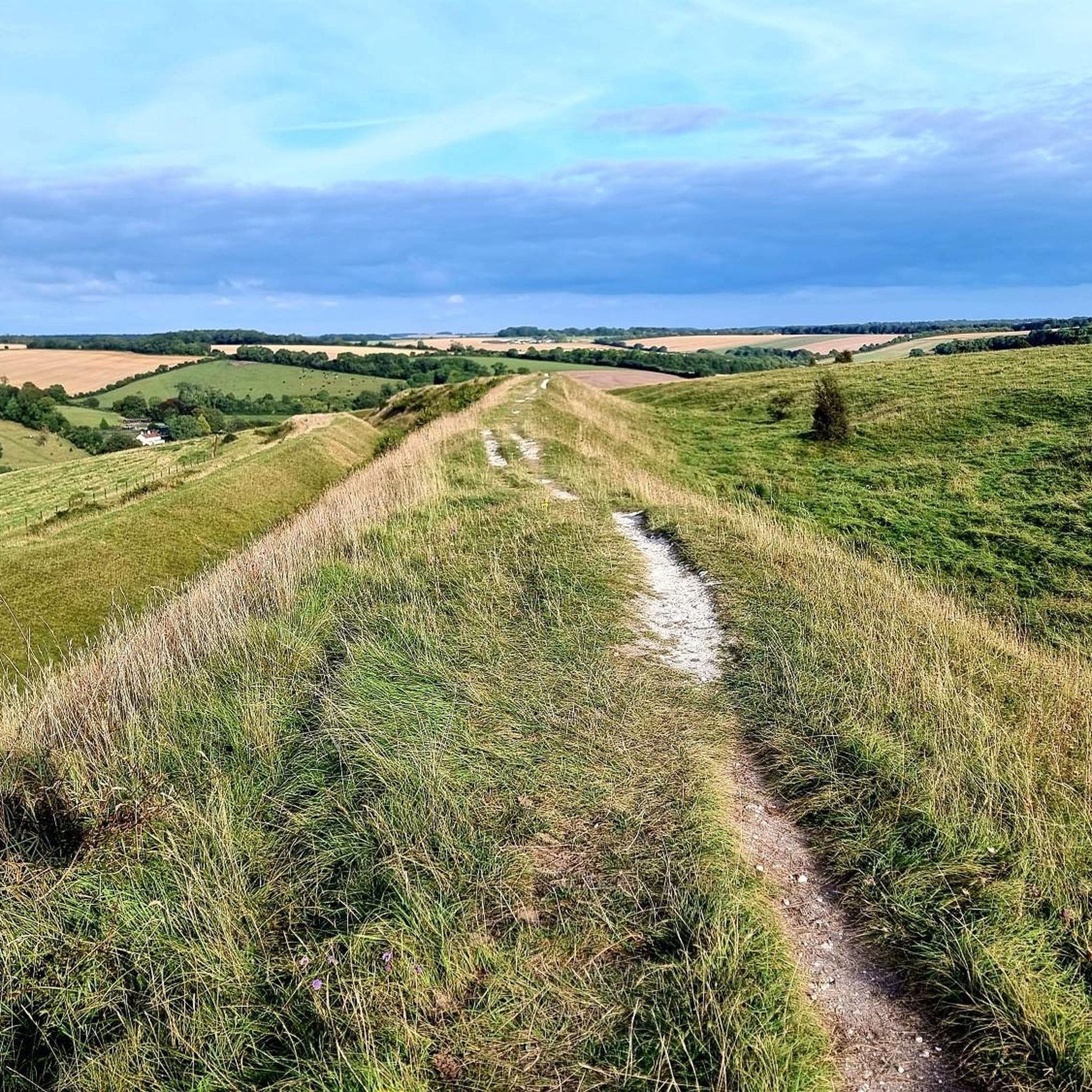
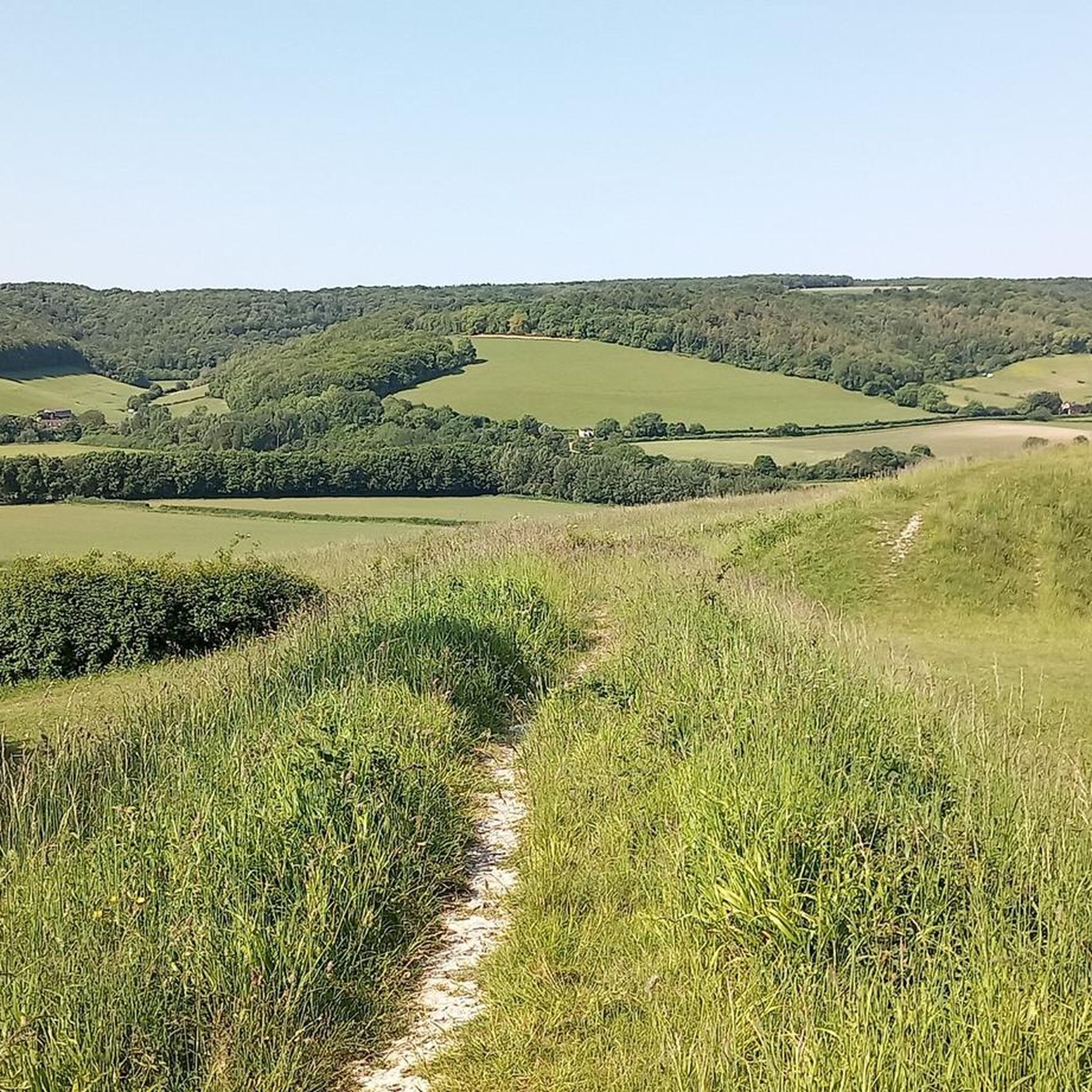
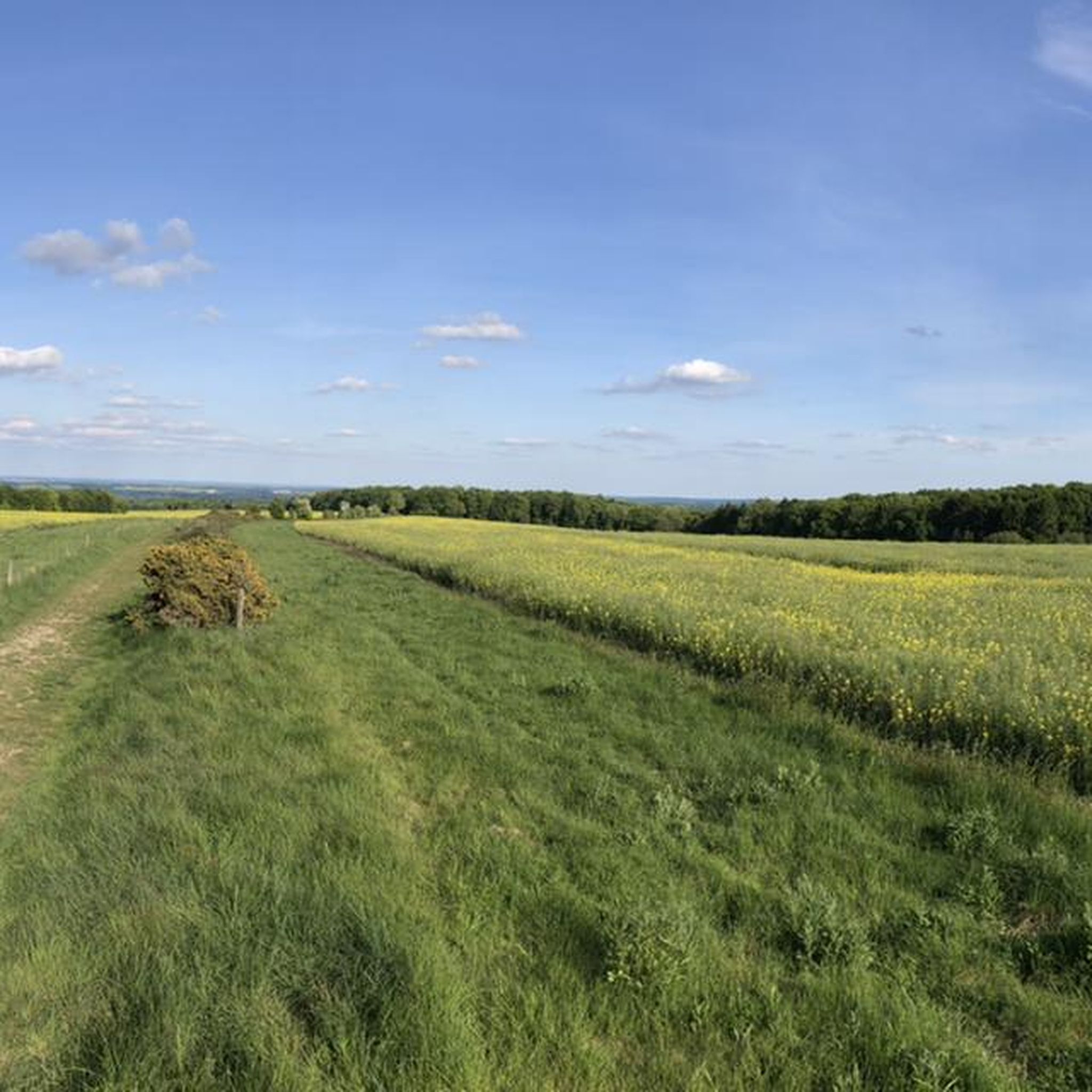
Mountain biking around Stourpaine offers diverse terrain within the Blackmore Vale, characterized by rolling hills, river valleys, and ancient landscapes. The area features the River Stour and significant elevations like Hambledon Hill, which rises to 623 feet (190 m). Riders can explore a network of trails that traverse woodlands, open countryside, and former railway lines, providing varied experiences for different skill levels.
Best mountain bike trails around Stourpaine
- The most popular mountain bike trail is Hodway Lane Trail Intersection –…
Last updated: May 14, 2026
3.7
(3)
20
riders
Moderate mountain bike ride. Good fitness required. Suitable for all skill levels.
5.0
(1)
8
riders
Moderate mountain bike ride. Good fitness required. Suitable for all skill levels.

Sign up for free
5.0
(1)
7
riders
52.4km
02:58
410m
410m
Moderate mountain bike ride. Good fitness required. Suitable for all skill levels.
5.0
(3)
7
riders
Moderate mountain bike ride. Great for any fitness level. Advanced riding skills necessary.
4.0
(1)
8
riders
36.8km
03:01
460m
460m
Moderate mountain bike ride. Good fitness required. Suitable for all skill levels.
Get access to more routes and recommendations from other explorers.
Sign up for free
Already have an account?
Our route recommendations are based on thousands of hikes, rides, and runs completed by other people on komoot.
Start today with a free account
Your next adventure awaits.
Login or Signup

Tips from the Community

Why It’s Actually Cool (Literally) The Font: There’s a 12th-century font inside that’s older than the actual building. It’s basically the antique heirloom that the new house was built around. The Peace and Quiet: It’s located in a "Winterborne" village. For the uninitiated, a winterborne is a stream that only flows in winter. So, half the year the village is "Kingston by the Stream" and the other half it's just "Kingston by the Dry Ditch." The church remains consistently stoic regardless of the water table. The Tower: It’s got a modest, sturdy tower that says, "I’m not trying to touch the heavens, I’m just trying to make sure the bell-ringers have a roof." Is it worth a visit? Absolutely. It’s the kind of place where you can sit in a pew, enjoy the silence, and wonder if the vicar in 1872 also thought the new carvings were "a bit much." It’s peaceful, it’s historic, and it hasn’t been turned into a luxury apartment complex yet—which is a win in 2026!
0
0
If you’re looking for a church that perfectly captures the "I’ve been standing in this field since the 14th century and my back kind of hurts" vibe, St Nicholas in Winterborne Kingston is your spot. It’s a charming, flint-and-stone hug of a building nestled in the Dorset countryside. Here’s the lowdown on why this place is more than just a backdrop for a period drama. The "Wait, How Old Is It?" Factor The church mostly dates back to the 14th century, though like any good Dorset homeowner, the locals couldn't resist a massive renovation. In the 1870s, a fellow named George Edmund Street (who also designed the Royal Courts of Justice in London) decided to give it a "glow-up." The Result: A mix of genuine medieval grit and Victorian "we have a very specific vision for how pious this should look" energy. The Vibe: It’s cozy. If "hygge" was a religious architectural style, this would be it. The Flinty Exterior The church is built with knapped flint and bands of stone. It basically looks like a very sophisticated, holy chessboard. Pro Tip: Don't try to count the flints. You will lose, and the sheep in the nearby field will judge you.
0
1
The North Dorset Trailway Connection Today, Spetisbury Station is a popular access point for the North Dorset Trailway. Trailhead: The section of the Trailway running from Spetisbury north to Sturminster Newton, largely following the old railway bed, is a well-maintained, traffic-free path for walking, cycling, and riding. Visitor Stop: The former station site makes a perfect place to stop, rest, and picnic while exploring the Trailway, offering fine views over the Stour Valley. It's a wonderful example of local history being preserved and repurposed for community and recreation!
0
0
The Spetisbury Station Project Unlike the bridge at Blandford, which remains a preserved structure, the Spetisbury station site is being actively restored by volunteers. The Project: The Spetisbury Station Project Group was formed in 2012 by dedicated volunteers to clear and preserve the abandoned site. What You Can See: While the original station buildings were demolished shortly after the 1956 closure, the project has cleared the site to reveal the foundations of the station buildings, the booking office, and the signal box. Ambience: The site is now a peaceful, landscaped green space featuring picnic areas, benches, and information boards. Volunteers have added replica signage and restored the platforms to recreate the atmosphere of the former country station. Wildlife Haven: The site is also managed to be a haven for local wildlife, with features like a wildlife pond, bat boxes, and specific flower borders.
0
0
The Railway and Closure Original Line: Spetisbury Station was located on the Somerset & Dorset Joint Railway (S&DJR), which connected Bath to Bournemouth. Opening: It originally opened on November 1, 1860, as part of the Dorset Central Railway's line from Wimborne to Blandford. It initially had a single platform. Double Track: Around 1901, the line was doubled through the station, and a second platform and a signal box were added to handle the increased traffic. Downgrade: Like many rural stations seeking to cut costs, it was downgraded to an unstaffed "halt" in 1934. Passenger Closure: The station closed completely to passengers on September 17, 1956, one of the early closures on the S&D line. Line Closure: Although the station itself was closed, the main S&DJR line through the site continued to operate passenger services until the whole route closed in March 1966. Goods traffic ceased in 1969, and the track was lifted in 1970.
0
0
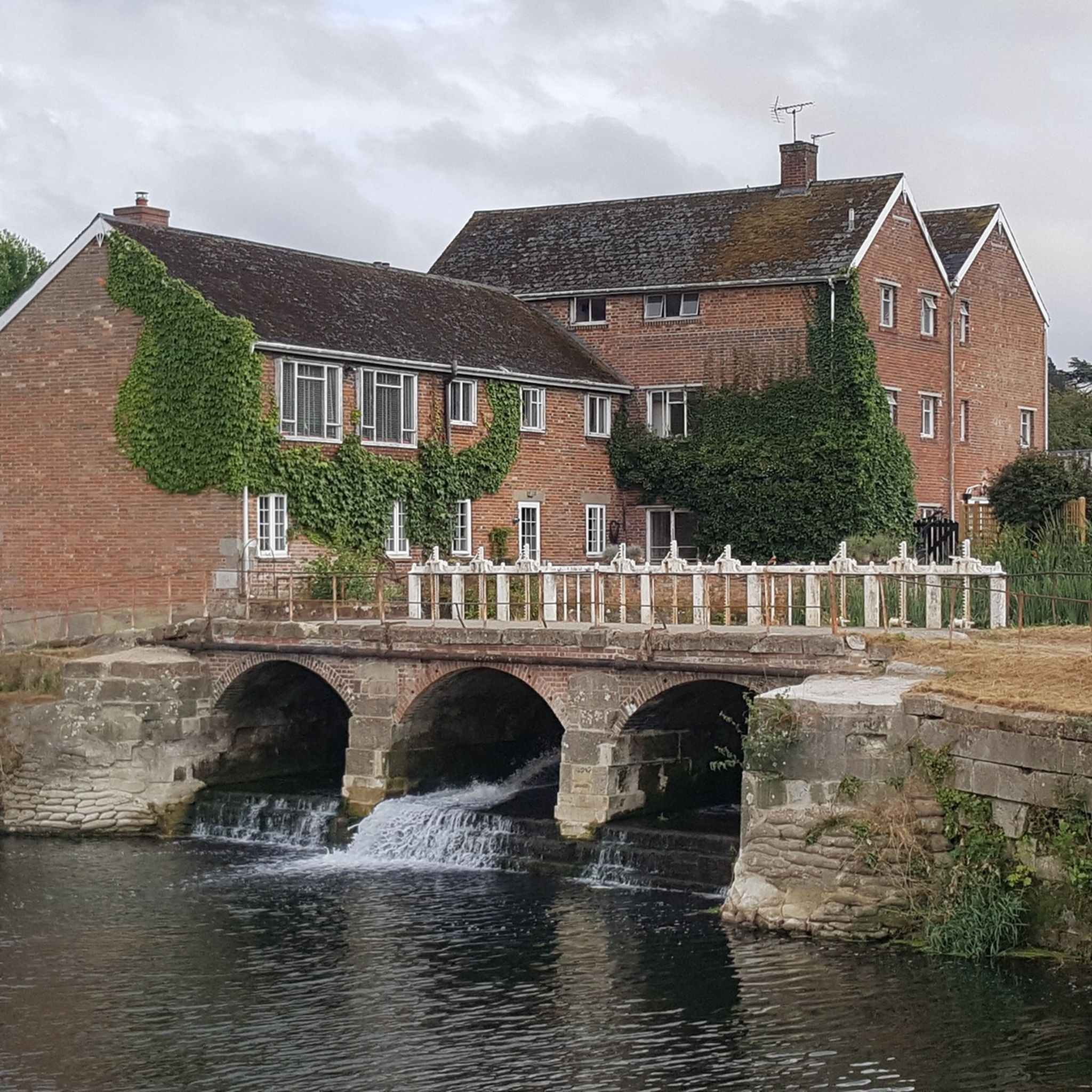
Historic Significance: It is a Grade I Listed Building (the highest level of protection), noted for its special architectural and historic interest. Age: The first record of the bridge dates back to 1334, suggesting its medieval origins, with parts of the current structure likely dating to the 15th century. Construction: It is built of coursed rubble and ashlar stone and features nine semi-circular arches. Widening: The bridge was widened in 1819. The upstream side is the original, medieval part and features triangular cut-waters which extend up to form pedestrian refuges. The downstream side is the later, plainer widening. Inscriptions: There is a reset stone on the east side of the bridge inscribed with the year 1719. Name Origin: The bridge is named Crawford Bridge because it carries the road from Spetisbury to Tarrant Crawford. The nearby area of Spetisbury was historically one of three manors, including Great Crawford.
0
0

The church has its origins in the early 14th century, the Decorated style of that period being well shown by the western tower, its bell-openings are typical of the style. Despite later work the style is also repeated in the southern doorway to the nave and also in the chancel so there is no doubt that originally the church was a single campaign build of the first half of the 14th century. Sporadic work in centuries between that build & the inevitable Victorian changes can be seen, a few windows show Tudor styling of the 16th century, notably 2 windows of a 4-light construction on the southern face. The Victorian work dates from 1873 when not only was the church thoroughly restored but the northern aisle and vestry were added to the fabric, the eastern window of the chancel was also a product of this campaign.
0
0

Single lane beware of on coming vehicles
0
0
Frequently Asked Questions
How many mountain bike trails are available around Stourpaine?
There are over 90 mountain bike trails around Stourpaine listed on komoot. These routes cater to various skill levels, with 34 easy, 58 moderate, and 2 difficult options.
What kind of terrain can I expect on mountain bike trails near Stourpaine?
Mountain bike trails around Stourpaine offer a mix of terrain, from well-maintained, traffic-free paths like sections of the North Dorset Trailway to unpaved segments through forested areas such as Blandford and Shillingstone Forest. You'll encounter rolling hills, river valleys, and some challenging ascents, particularly around features like Hambledon Hill.
Are there any family-friendly mountain bike routes in Stourpaine?
Yes, Stourpaine offers several family-friendly options. The View of the Dorset Countryside – Hodway Lane Trail Intersection loop from Shroton is an easy 14.1 km route with 208 meters of elevation gain, suitable for those looking for a less strenuous ride. The North Dorset Trailway, being traffic-free, also provides a safe and enjoyable experience for families.
What are some notable landmarks or viewpoints I can see while mountain biking in the area?
The area is rich with landmarks and scenic viewpoints. You can ride past the impressive Hambledon Hill Iron Age hill fort, offering breathtaking views over the Blackmore Vale. The Hodway Lane Trail Intersection – Okeford Hill Viewpoint loop from Pimperne specifically highlights panoramic views from Okeford Hill. On clear days, from Win Green Summit, you might even see the Isle of Wight.
Are there any circular mountain bike routes around Stourpaine?
Yes, many routes around Stourpaine are designed as loops. For example, the North Dorset Trailway – Spetisbury Station Project loop from Blandford Forum is a moderate 32.3 km circular trail that incorporates sections of the North Dorset Trailway. Another option is the Compton Abbas Airfield – Ashmore Wood loop from Pimperne, a moderate 36.9 km route.
What do other mountain bikers say about the trails in Stourpaine?
The mountain bike trails around Stourpaine are highly rated by the komoot community, with an average score of 4.6 stars from over 120 reviews. Riders often praise the varied terrain, the scenic views, and the opportunity to explore both the historic North Dorset Trailway and the more challenging forest paths.
Is there public transport access to the mountain bike trails in Stourpaine?
While Stourpaine is a village, the North Dorset Trailway, which is central to many mountain bike routes, connects several towns and villages. You would typically need to check local bus services to Stourpaine or nearby towns like Blandford Forum or Sturminster Newton, which are points of access for the Trailway.
Where can I park when mountain biking near Stourpaine?
Parking availability varies by starting point. For routes utilizing the North Dorset Trailway, you can often find parking in the towns and villages it passes through, such as Sturminster Newton, Shillingstone, or Blandford Forum. For specific trailheads, it's advisable to check the route details on komoot for designated parking areas.
Are there any historical sites along the mountain bike routes?
Absolutely. The area is rich in history. You can visit the restored Shillingstone Railway Station & Museum, which is part of the old railway line that forms the North Dorset Trailway. The Hambledon Hill Iron Age hill fort is another significant historical site that offers stunning views and is often incorporated into rides.
What is the best time of year to go mountain biking in Stourpaine?
Stourpaine offers good mountain biking conditions for much of the year. Spring and autumn provide pleasant temperatures and beautiful scenery, with vibrant foliage or blooming wildflowers. Summer is also popular, though trails can be busier. During winter, some unpaved sections might become muddy, so checking current trail conditions is recommended.
Are there any routes that follow the River Stour?
Yes, the North Dorset Trailway often follows the meandering course of the River Stour, offering scenic rides alongside the water. The North Dorset Trailway – Spetisbury Station Project loop from Blandford Forum is a great example of a route that utilizes these riverside sections.
What is the longest mountain bike trail in the Stourpaine area?
One of the longer routes available is the Tarrant Abbey Church and Ruins – Closed Bridleway Gate loop from Pimperne, which spans 52.3 km (32.5 miles) and features 408 meters of elevation gain, typically taking around 2 hours 56 minutes to complete.
Most popular attractions around Stourpaine

Get inspired with the komoot mobile app


Explore more
Browse the best MTB trails in other regions.
