The best walks and hikes around Lac de Grand'Maison
4.4
(1708)
17,477
hikers
187
hikes
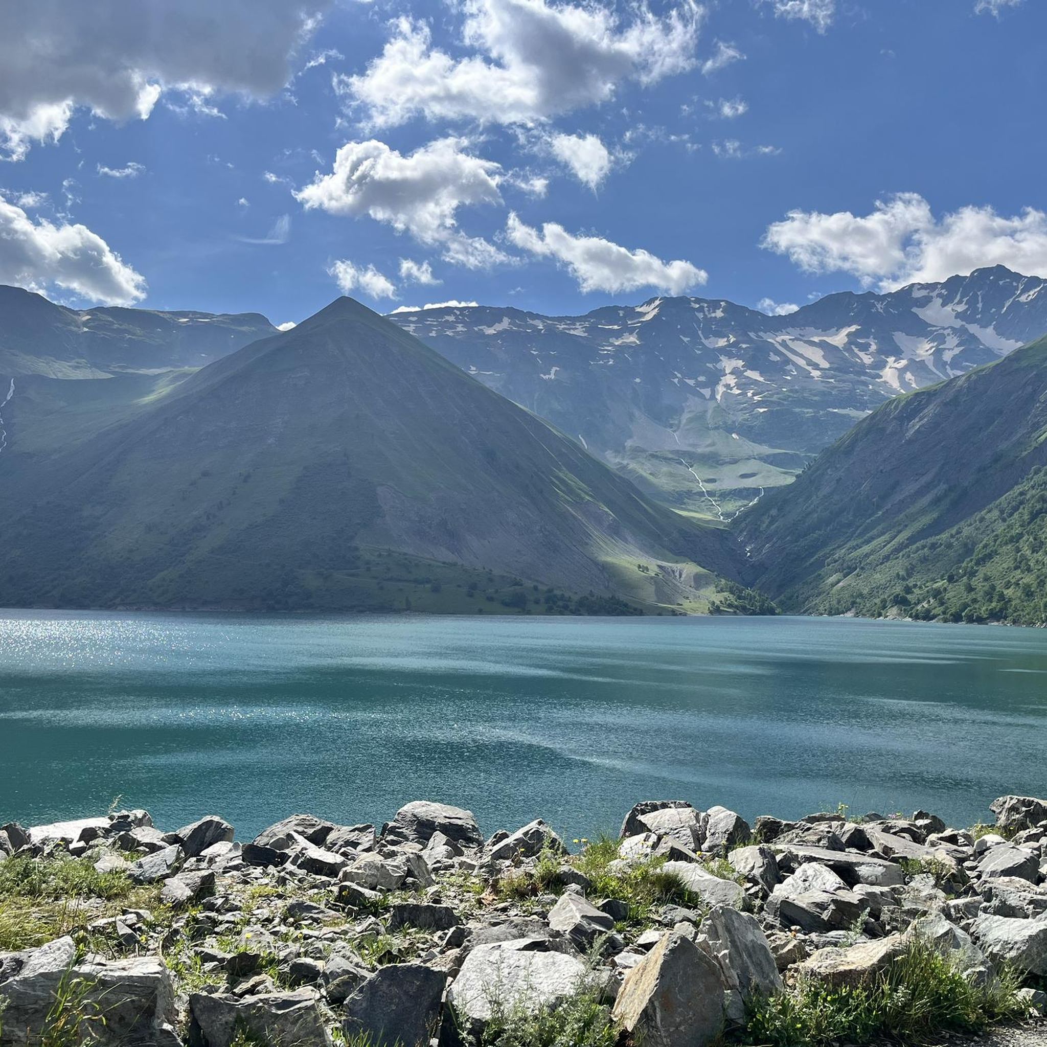
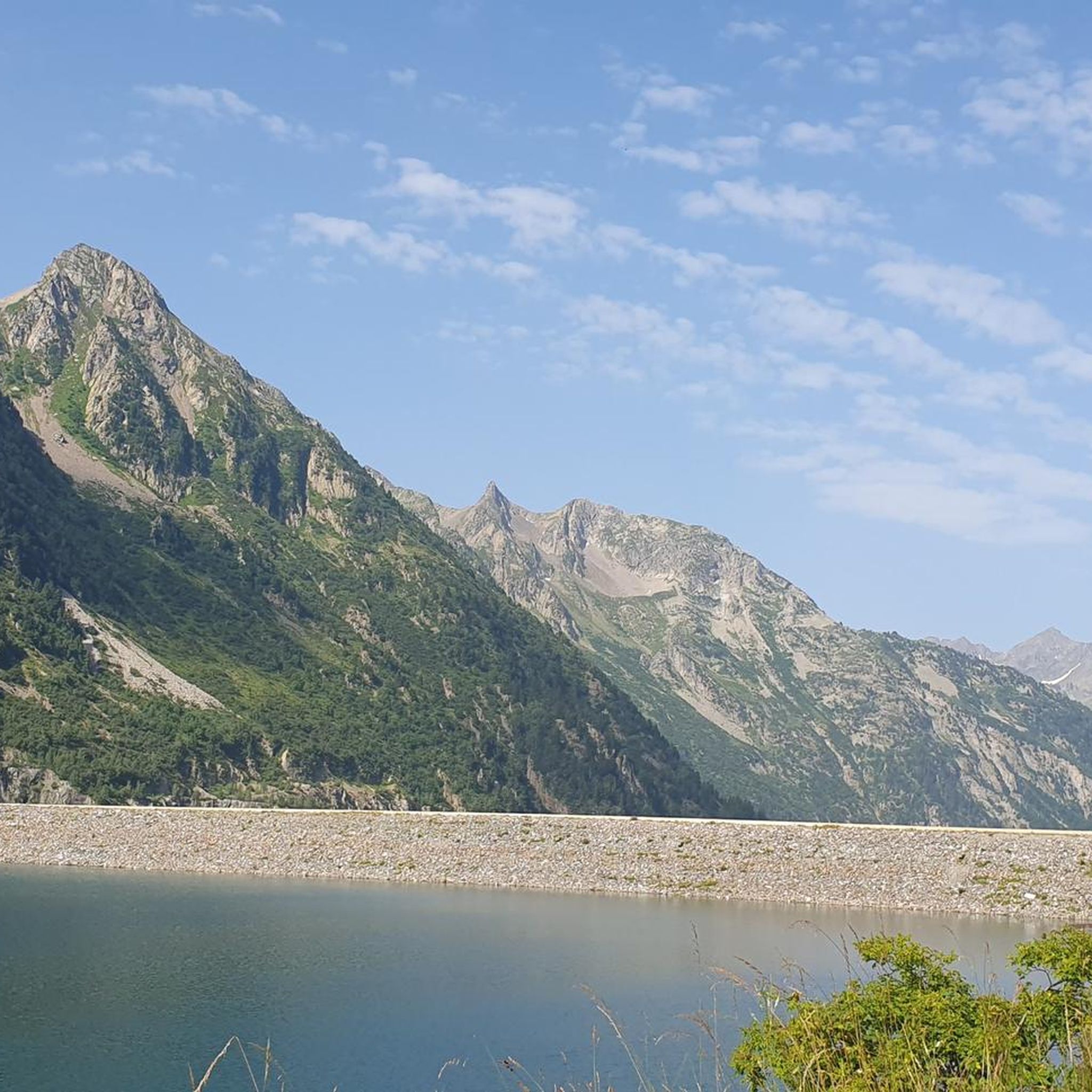
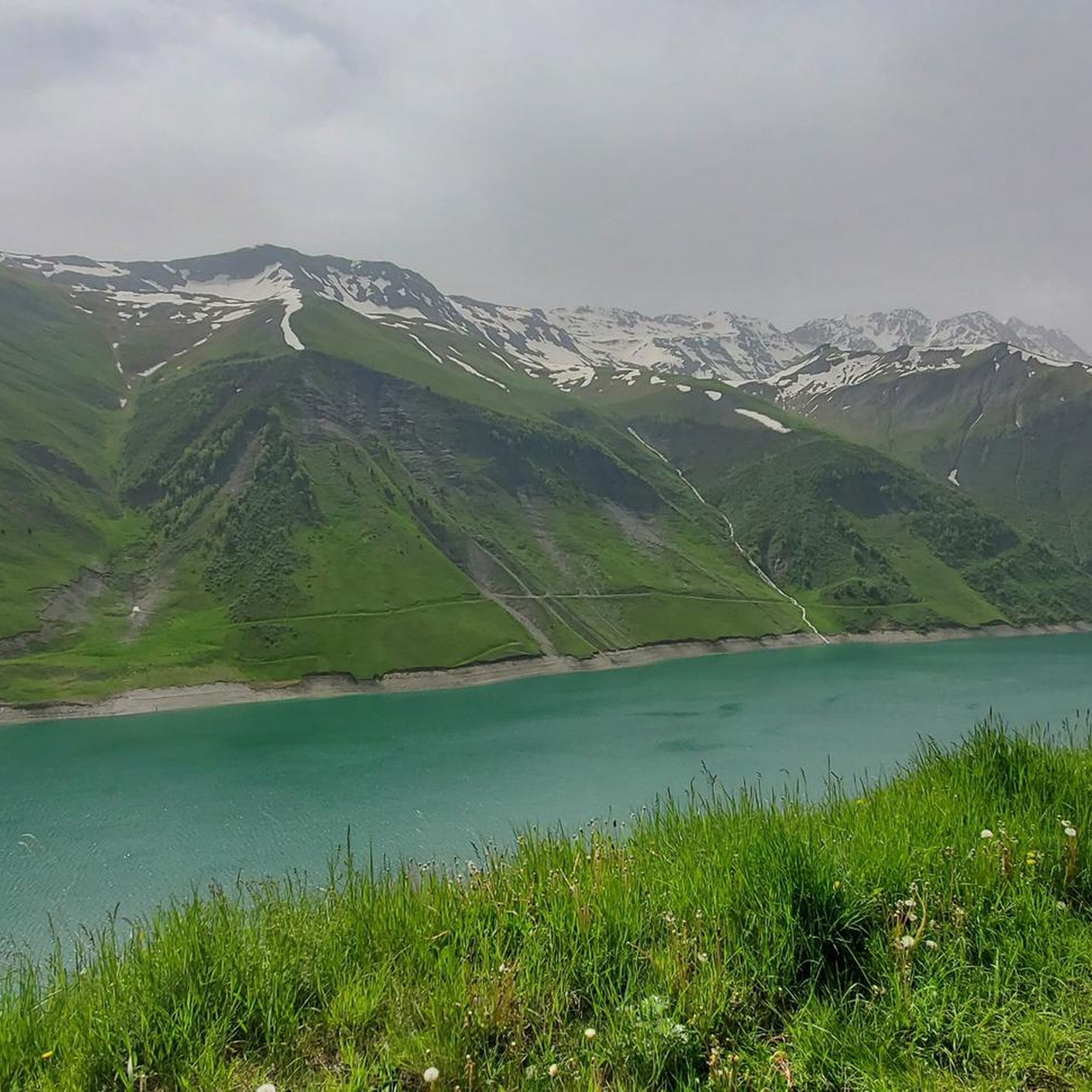
Hiking around Lac de Grand'Maison offers diverse landscapes within the French Alps, characterized by impressive mountainous terrain and alpine lakes. The region features views of peaks such as Les Aiguillettes and the Aiguilles de l'Argentière, set against the Belledonne and Grandes Rousses massifs. Lac de Grand'Maison itself is an artificial lake created by the Grand'Maison Dam, situated at 1698m altitude. The area includes other mountain lakes like Lac de l'Ane and is defined by high-altitude scenery, alpine meadows, and forested…
Last updated: October 12, 2026
5.0
(2)
70
hikers
6.31km
03:41
650m
650m
Moderate hike. Good fitness required. Mostly accessible paths. Sure-footedness required.
31
hikers
8.80km
04:54
830m
830m
Moderate hike. Good fitness required. Mostly accessible paths. Sure-footedness required.

15
hikers
5.30km
02:09
410m
410m
Moderate hike. Good fitness required. Easily-accessible paths. Suitable for all skill levels.
4.3
(7)
16
hikers
9.30km
03:40
670m
670m
Moderate hike. Good fitness required. Mostly accessible paths. Sure-footedness required.
18
hikers
4.50km
01:39
280m
280m
Easy hike. Great for any fitness level. Easily-accessible paths. Suitable for all skill levels.
Get access to more routes and recommendations from other explorers.
Already have an account?
Our route recommendations are based on thousands of hikes, rides, and runs completed by other people on komoot.
Start today with a free account
Your next adventure awaits.

Tips from the Community

Descend a few tens of meters to discover a magnificent view towards Mont Blanc, the Glandon pass and the Grand'Maison lake.
0
0

Lac de l'Ane is a mountain lake in the Belledonne massif, located at an altitude of 2,400 m. It is rarely visited, and ibex are regularly seen there.
0
0

The descent to Vaujany is technical and challenging. Bring a walking stick with you!
1
0

Situated at an altitude of 2,227 metres, the Col du Couard offers views of the Aiguillettes from below. It also offers superb panoramas of the surrounding peaks, such as the summits and the dome of La Cochette.
0
0

Very nice climb. The road to the top changes with the landscape and gradually becomes less good. No more loose gravel seen. No problem at all on the way up, but pay close attention at first on the descent. There was minimal traffic.
1
0

Very demanding climb but the landscapes are worth the detour!! Much less frequented than other major passes in the Alps.
1
0

It is one of the great discoveries of the French Alps in my last decade. It is not a mountain pass because it only has one road side. On foot (or even with a Gravel bike), once you reach the top, you can reach the Lac de Grand-Maison, connecting with the final stretch of the climb to the Col de Glandon or the Col de la Croix-de-Fer . The climb to Col de Sabot has a gradient of 1,253 meters, 14.5 km in length with an average slope of 8.9%. It is a very tough port. It has 2 parts that are very well differentiated in every sense: - The first, until reaching Vaujany (about 5 km) is a very wide road, perfectly paved, with some traffic and hardly any views of the valley. - The second is a very narrow road, with a lot of gravel, hardly any traffic and views of the alpine meadows. In a quiet environment where only the sounds of the mountain can be heard.
3
1

The Col du Sabot – 2100 m – is the highest point of the Isère passes and only 2000. From the pass the view is magnificent and you can see Lake Verney below.
0
0
Frequently Asked Questions
What types of hiking trails are available around Lac de Grand'Maison?
The Lac de Grand'Maison area offers a wide range of trails, from easy walks suitable for beginners to challenging alpine ascents. You'll find paths through mountainous terrain, alpine meadows, and forested areas, with options for various fitness levels. Overall, there are over 170 hiking routes in the region.
Are there any easy or family-friendly hikes around Lac de Grand'Maison?
Yes, there are numerous easy options. For example, the Les Aiguillettes – Les Aiguillettes loop from barrage de Grand'Maison is an easy 4.5 km (2.8 miles) trail. In total, 45 easy routes are available, many of which are suitable for families looking for less strenuous walks.
What natural features or landmarks can I see while hiking around Lac de Grand'Maison?
Hikers can enjoy impressive mountainous terrain with views of peaks like Les Aiguillettes and the Aiguilles de l'Argentière. The area features several alpine lakes, including Lac de Grand'Maison itself and the rarely visited Lac de l'Ane. You'll also encounter the significant Grand'Maison Dam, and cascades such as the one from the Petite Lauze stream. Mountain passes like Col du Couard and Col du Sabot offer stunning panoramic views.
What is the best time of year to go hiking in Lac de Grand'Maison?
The best time for hiking around Lac de Grand'Maison is typically from late spring to early autumn (June to September) when the snow has melted from higher elevations and the weather is generally favorable. During this period, alpine meadows are vibrant, and access to most trails and mountain passes is clear. Always check local conditions for snow, especially in early season or after late-season snowfall.
Are there circular hiking routes available around Lac de Grand'Maison?
Yes, many popular routes are circular. Examples include the Donkey Lake loop from Le Rieu Claret, which leads to Lac de l'Ane, and the more challenging Donkey Lake – Col de l'Agnelin loop from Le Rieu Claret. Another option is the Les Aiguillettes – Col du Couard loop from barrage de Grand'Maison, offering views of the dam.
Can I hike with my dog around Lac de Grand'Maison?
Generally, dogs are permitted on many trails around Lac de Grand'Maison, but it's crucial to keep them on a leash, especially in areas with livestock (like sheep flocks) or protected wildlife (such as ibex, which are often seen near Lac de l'Ane). Always respect local regulations and ensure your dog doesn't disturb the natural environment or other hikers.
Where can I find parking for hiking trails near Lac de Grand'Maison?
Common starting points for hikes, such as Le Rieu Claret and the barrage de Grand'Maison, typically offer parking facilities. Access to the lake and its surrounding trails is often via scenic mountain passes like Col du Glandon, which also have parking options. It's advisable to arrive early during peak season to secure a spot.
What do other hikers enjoy most about hiking in Lac de Grand'Maison?
The area is highly rated by the komoot community, with an average score of 4.5 stars from over 1200 reviews. Reviewers often praise the stunning panoramic views, the diverse alpine scenery, the tranquility of high-altitude lakes like Lac de l'Ane, and the variety of trails catering to different skill levels. The impressive Grand'Maison Dam is also a frequently mentioned point of interest.
Are there any challenging hikes for experienced trekkers?
Yes, the region offers 27 difficult routes for experienced hikers. These often involve significant elevation gain and require good fitness, sure-footedness, and appropriate alpine experience. Trails ascending to summits like Pic de l'Agnelin (2740m) or traversing passes like Col du Sabot provide demanding but rewarding experiences with breathtaking vistas.
Are there any specific trails that offer views of the Grand'Maison Dam?
Yes, several trails provide excellent views of the Grand'Maison Dam. The Les Aiguillettes – Col du Couard loop from barrage de Grand'Maison is a great option, as it starts directly from the dam and offers plunging views of this impressive structure and the reservoir as you ascend through the mountainous terrain.
What is the elevation of Lac de Grand'Maison and the surrounding area?
Lac de Grand'Maison itself is situated at an altitude of 1698m. The surrounding terrain is highly mountainous, with peaks and passes reaching much higher. For instance, passes like Col du Couard are at 2,227m and Col du Sabot at 2,100m, ensuring a true alpine experience with significant elevation changes on many trails.
Is public transport available to reach Lac de Grand'Maison for hiking?
Public transport options directly to the remote trailheads around Lac de Grand'Maison are generally limited. Access is primarily by car, often via scenic mountain passes. It's recommended to check local bus schedules for the nearest towns in the Eau d'Olle valley, but expect to arrange further transport or a significant walk to reach the main hiking starting points.
Most popular routes around Lac de Grand'Maison

Get inspired with the komoot mobile app


Explore more
Browse the best Hikes in other regions.
