The best road cycling routes around Barrage du Couzon
4.6
(156)
3,432
riders
75
rides
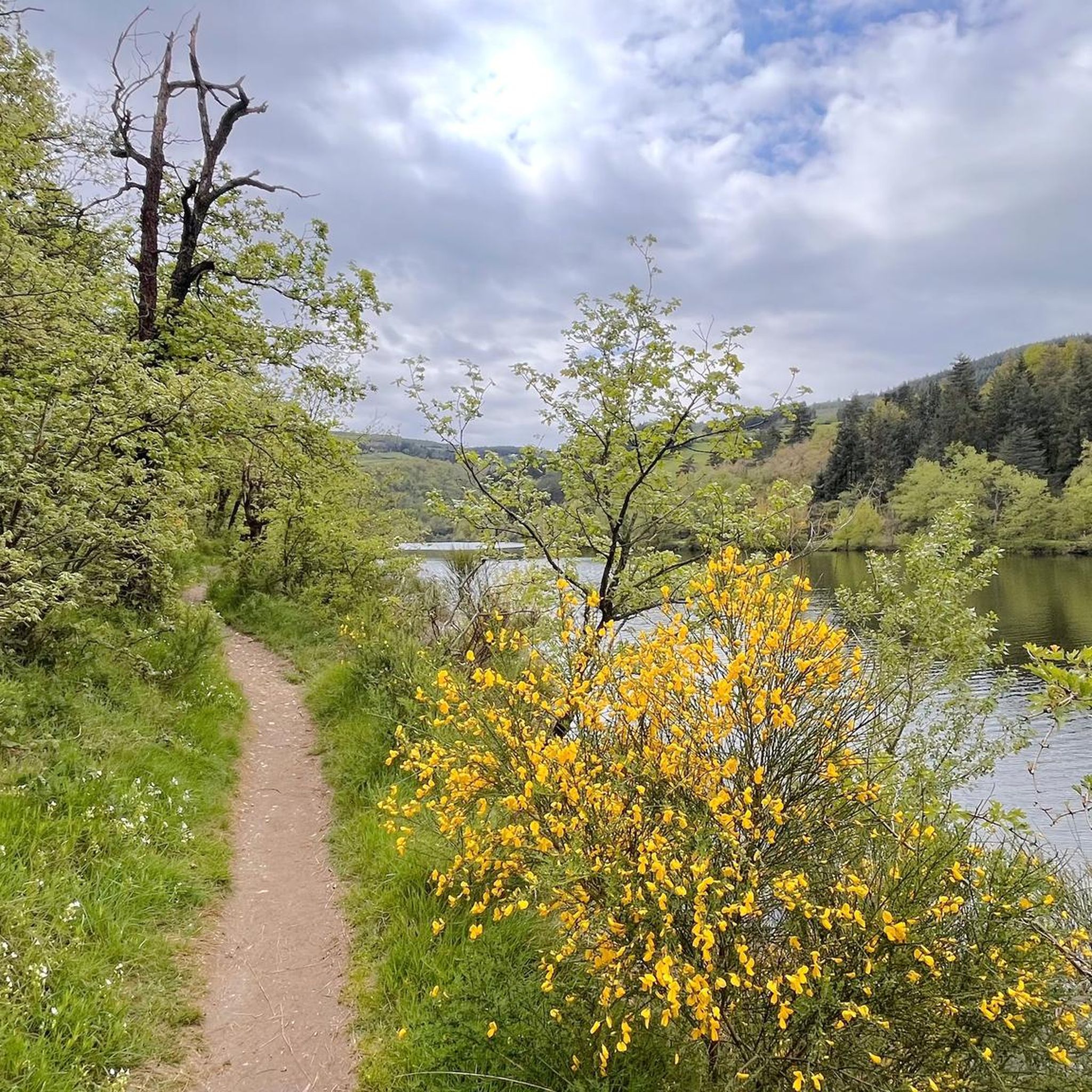
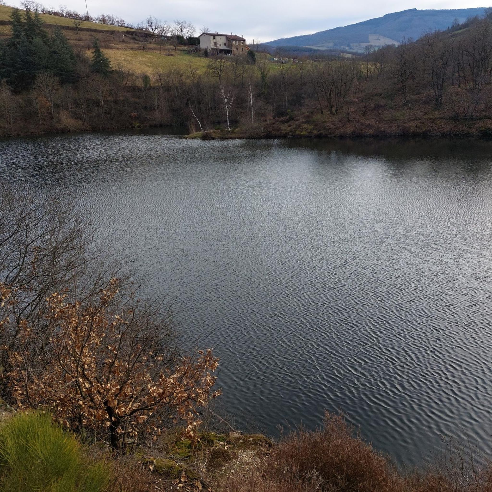
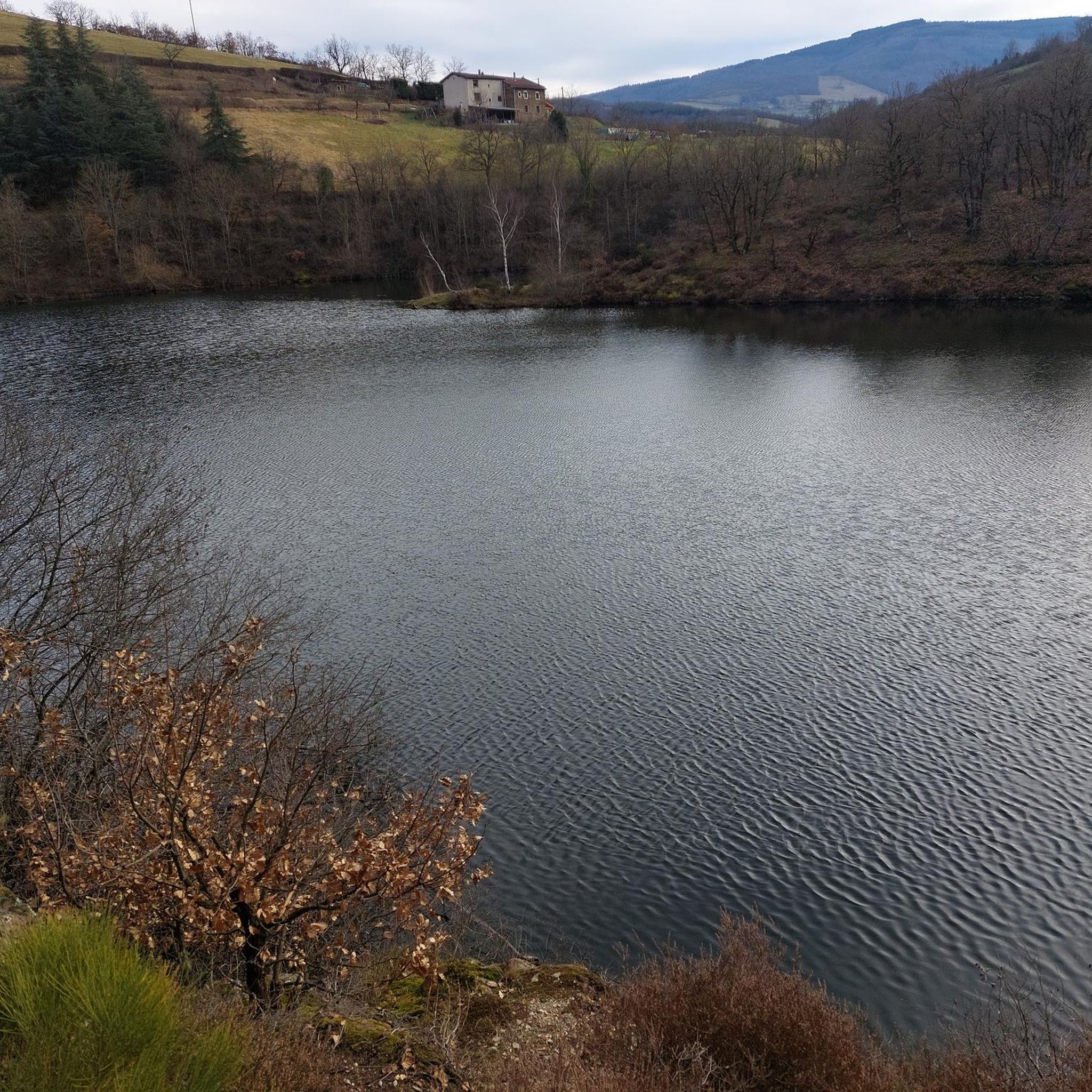
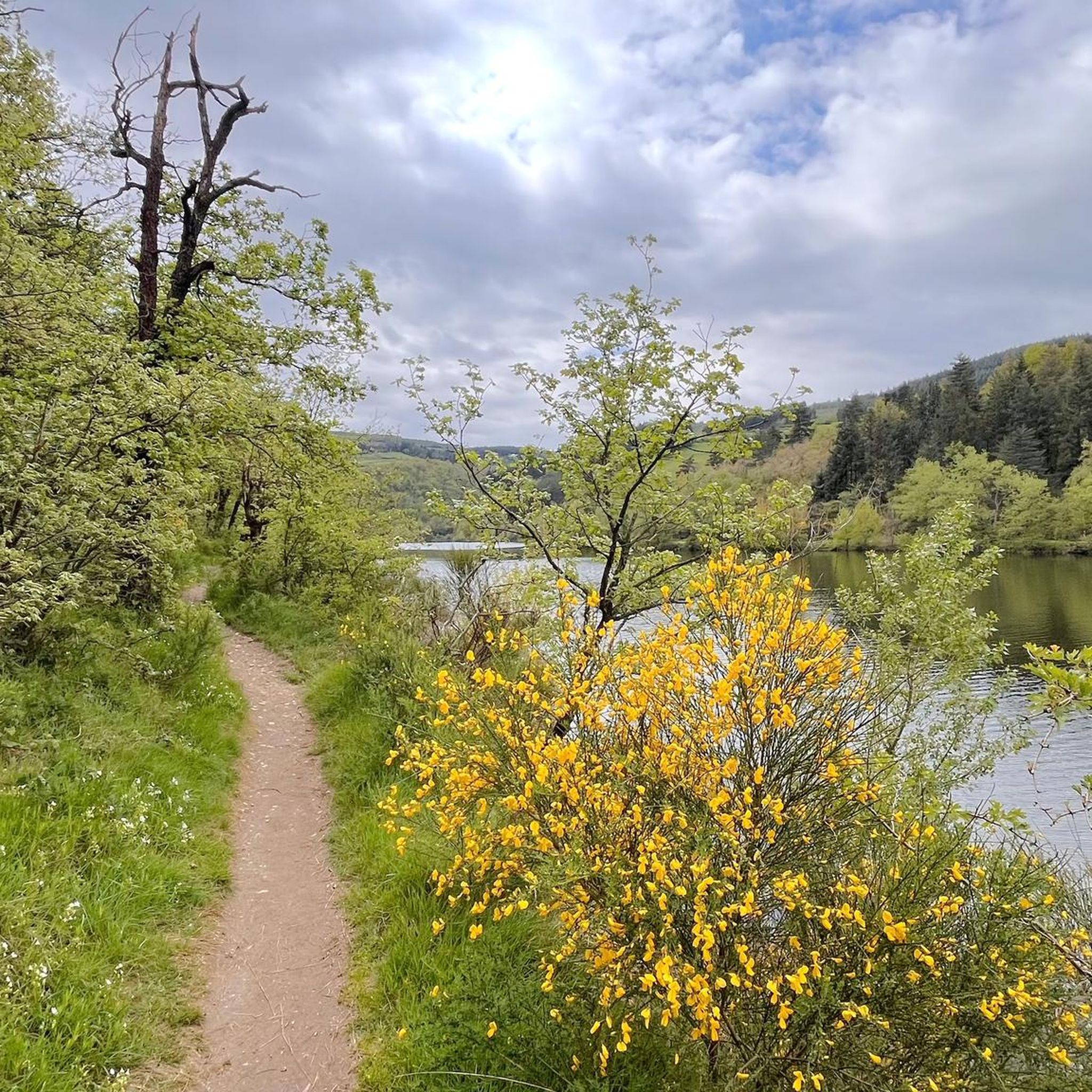
Road cycling around Barrage du Couzon is characterized by a landscape of rolling hills, forested sections, and significant elevation changes, typical of the region near Saint-Étienne. The terrain features numerous passes and climbs, offering varied challenges for road cyclists. Routes often navigate through valleys and ascend to viewpoints, providing diverse riding experiences.
Best road cycling routes around Barrage du Couzon
- The most popular road cycling route is Montvieux Cross – Pavezin Pass loop from Rive-de-Gier, a 33.5 miles (53.9…
Last updated: July 1, 2026
4.5
(6)
144
riders
53.9km
02:43
860m
860m
Moderate road ride. Good fitness required. Mostly well-paved surfaces and easy to ride.
4.9
(7)
111
riders
51.5km
02:39
890m
890m
Moderate road ride. Good fitness required. Mostly well-paved surfaces and easy to ride.

Sign up for free
4.9
(10)
110
riders
47.0km
02:22
670m
670m
Moderate road ride. Good fitness required. Some segments of this route may be unpaved and difficult to ride.
5.0
(2)
66
riders
51.0km
02:46
1,030m
1,030m
Hard road ride. Very good fitness required. Some segments of this route may be unpaved and difficult to ride.
4.7
(10)
118
riders
73.2km
04:50
1,670m
1,670m
Hard road ride. Very good fitness required. Mostly well-paved surfaces and easy to ride.
Get access to more routes and recommendations from other explorers.
Sign up for free
Already have an account?
Our route recommendations are based on thousands of hikes, rides, and runs completed by other people on komoot.
Start today with a free account
Your next adventure awaits.
Login or Signup
Tips from the Community

The Col de Pavezin is certainly not the highest, but it is no less mythical. The inventor of the derailleur, Paul de Vivié, who settled here, made it an unmissable rendezvous. The pass is located between the Rhône valley and the Gier valley, and opens up a grandiose panorama of the Alps and the Rhône furrow.
0
0

Here is the route for the ascent of the Col de la Croix de Montvieux starting from La Terrasse-sur-Dorlay.
1
0
Very nice climb from Sainte-Croix-en-Jarez for example!
0
0

on the watershed between the ocean and the Mediterranean
0
0

Nice route, watch out for the heat in summer...
0
0

THE crossroads of all the walks in the area, with the little refreshing break at the inn, it's perfect (change of owner in progress, for the moment it is closed)
0
0

magnificent view of the valley and its orchards
0
0
Frequently Asked Questions
How many road cycling routes are available around Barrage du Couzon?
The Barrage du Couzon area offers a wide selection of road cycling routes, with over 70 distinct tours available. These routes cater to various skill levels, from easy to difficult.
What kind of terrain can I expect when road cycling near Barrage du Couzon?
Road cycling around Barrage du Couzon is characterized by a landscape of rolling hills, forested sections, and significant elevation changes. The terrain features numerous passes and climbs, offering varied challenges. Routes often navigate through valleys and ascend to viewpoints, providing diverse riding experiences.
Are there any easy or beginner-friendly road cycling routes in the area?
Yes, while the region is known for its hilly terrain, there are a few easier options. The guide lists 4 routes categorized as easy, perfect for beginners or those looking for a less strenuous ride. For example, you can find routes with gentler climbs and shorter distances.
Where can I find challenging road cycling routes with significant climbs?
The Barrage du Couzon region is ideal for challenging road cycling, featuring numerous passes and substantial elevation gains. Routes like the Dam – Montvieux Cross loop from Rive-de-Gier, with over 1000 meters of ascent, or the Sainte-Croix-en-Jarez – Col de l'Œillon (1233 m) loop from Rive-de-Gier, which includes a major pass and nearly 1700 meters of climbing, offer demanding experiences for experienced cyclists.
What is the best time of year to go road cycling around Barrage du Couzon?
The best time for road cycling around Barrage du Couzon is typically from spring through early autumn (April to October). During these months, the weather is generally milder and more stable, making the climbs and descents more enjoyable. Summer offers warmer temperatures, while spring and autumn provide pleasant conditions with vibrant foliage.
Are there circular road cycling routes available?
Yes, many of the road cycling routes around Barrage du Couzon are designed as loops, allowing you to start and finish at the same point. Examples include the popular Montvieux Cross – Pavezin Pass loop from Rive-de-Gier and the Col de la Gachet – Sainte Catherine loop from Rive-de-Gier, both offering varied terrain and scenic views.
What do other road cyclists enjoy most about the routes in Barrage du Couzon?
The area is highly rated by the komoot community, with an average score of 4.5 stars from over 140 reviews. Reviewers often praise the challenging mountain passes, the scenic forested sections, and the diverse riding experiences offered by the region's hilly terrain.
Are there any specific passes or climbs that are popular among road cyclists?
Yes, the region features several notable passes. The Pavezin Pass is frequently included in routes, such as the Pavezin – Pavezin Pass loop from Rive-de-Gier. Other significant climbs and passes like the Col de la Gachet and the Col de l'Œillon (1233 m) are also popular for their challenge and views.
Can I find routes that offer scenic viewpoints?
Absolutely. Given the region's hilly and mountainous character, many routes ascend to higher elevations, providing panoramic views of the surrounding valleys and forested landscapes. The routes are designed to take advantage of these natural vantage points, especially near the dam and along various passes.
What are the typical distances and elevations for road cycling routes in this area?
Routes vary significantly, but many popular moderate to difficult tours range from 45 to 75 kilometers (28 to 47 miles) in distance. Elevation gains typically range from 600 meters to over 1700 meters (2000 to 5600 feet), reflecting the region's challenging and hilly topography.
Is parking available for road cyclists near the trailheads?
While specific parking details vary by starting point, towns like Rive-de-Gier, which serve as common starting points for many routes, generally offer public parking options. It's advisable to check local parking availability for your chosen trailhead before your ride.
Most popular routes around Barrage du Couzon

Get inspired with the komoot mobile app


Explore more
Browse the best Road cycling routes in other regions.
