The best walks and hikes around Ballymacarn South
4.6
(20)
276
hikers
12
hikes
Hiking around Ballymacarn South offers varied terrain, from rolling hills to more rugged mountain landscapes. The region features prominent natural landmarks such as Slieve Croob, the highest peak of the Dromara Hills, providing expansive views. Hikers can explore diverse environments including forests like Drumkeeragh Forest Park and areas with historical megalithic monuments. The landscape provides a range of experiences for different hiking preferences.
Best hiking trails around Ballymacarn South
- The most popular hiking route is Slieve Croob Transmitter Road Walk, a 2.8 miles (4.5 km) trail that takes 1 hour 22 minutes to complete. This easy route offers access towards the Slieve Croob area.
- Another top favourite among local hikers is Drumkeeragh Forest Park loop, a moderate 4.8 miles (7.7 km) path. This trail leads through the natural woodland of Drumkeeragh Forest.
- Local hikers also love the Slieve Croob Summit Path – Slieve Croob Summit loop from Dromara Hills, a 6.3 miles (10.1 km) trail leading through mountain terrain, often completed in about 3 hours 7 minutes.
- Hiking around Ballymacarn South is defined by rolling hills, mountain ascents, and forest paths. The network offers options for different ability levels, from easy walks to moderate climbs.
- The routes in Ballymacarn South are highly rated by the komoot community with an average score of 4.5 stars from over 15 reviews. More than 250 hikers have used komoot to explore Ballymacarn South's varied terrain.
Last updated: May 15, 2026
4.2
(9)
152
hikers
4.49km
01:23
160m
160m
Easy hike. Great for any fitness level. Easily-accessible paths. Suitable for all skill levels.
4.7
(3)
48
hikers
7.74km
02:08
130m
130m
Moderate hike. Good fitness required. Easily-accessible paths. Suitable for all skill levels.

Sign up for free
4.0
(2)
13
hikers
10.1km
03:07
360m
360m
Moderate hike. Good fitness required. Easily-accessible paths. Suitable for all skill levels.
4.0
(2)
12
hikers
10.7km
03:17
380m
380m
Moderate hike. Good fitness required. Easily-accessible paths. Suitable for all skill levels.
5.0
(1)
19
hikers
4.68km
01:17
70m
80m
Easy hike. Great for any fitness level. Easily-accessible paths. Suitable for all skill levels.
Get access to more routes and recommendations from other explorers.
Sign up for free
Already have an account?
Our route recommendations are based on thousands of hikes, rides, and runs completed by other people on komoot.
Start today with a free account
Your next adventure awaits.
Login or Signup
Popular around Ballymacarn South
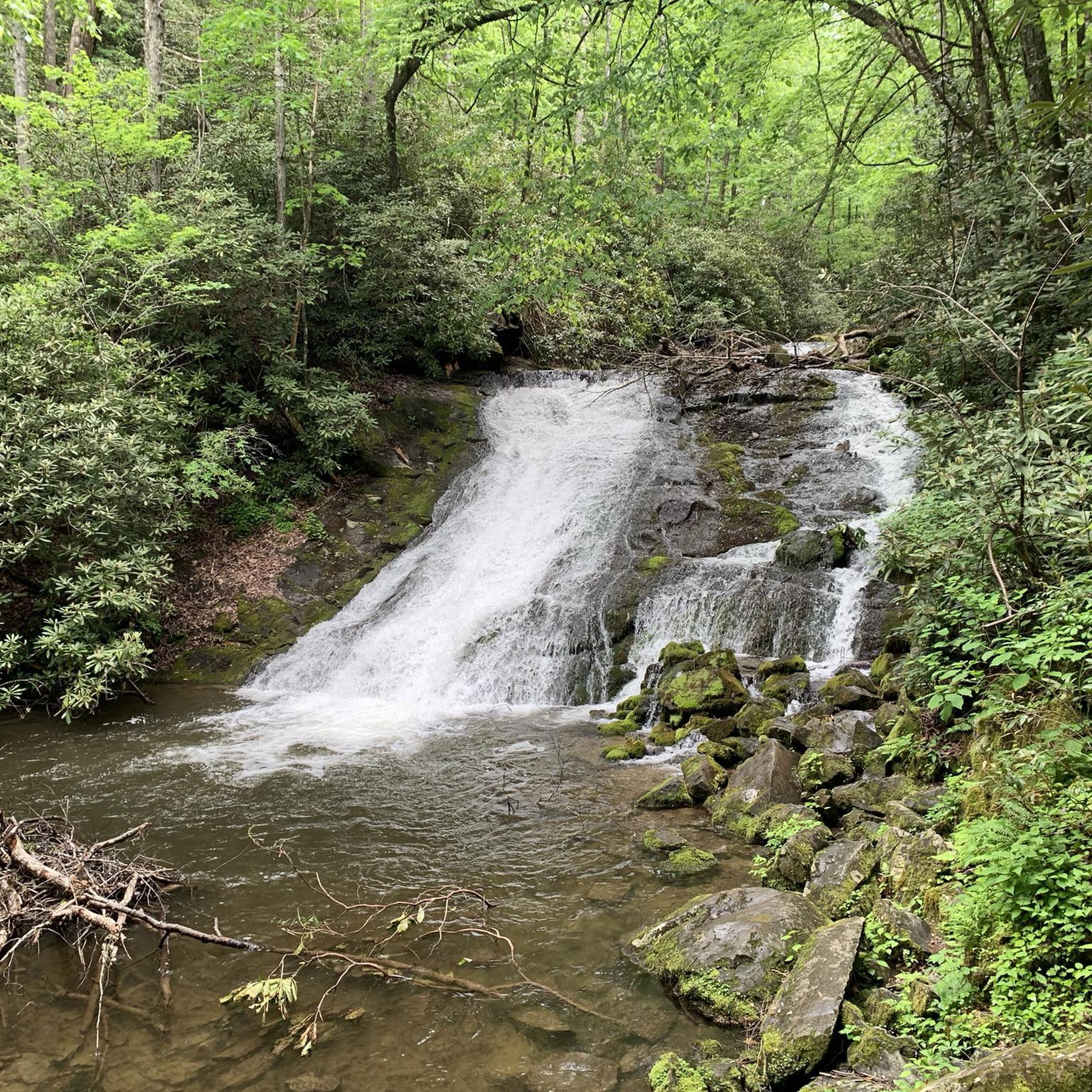
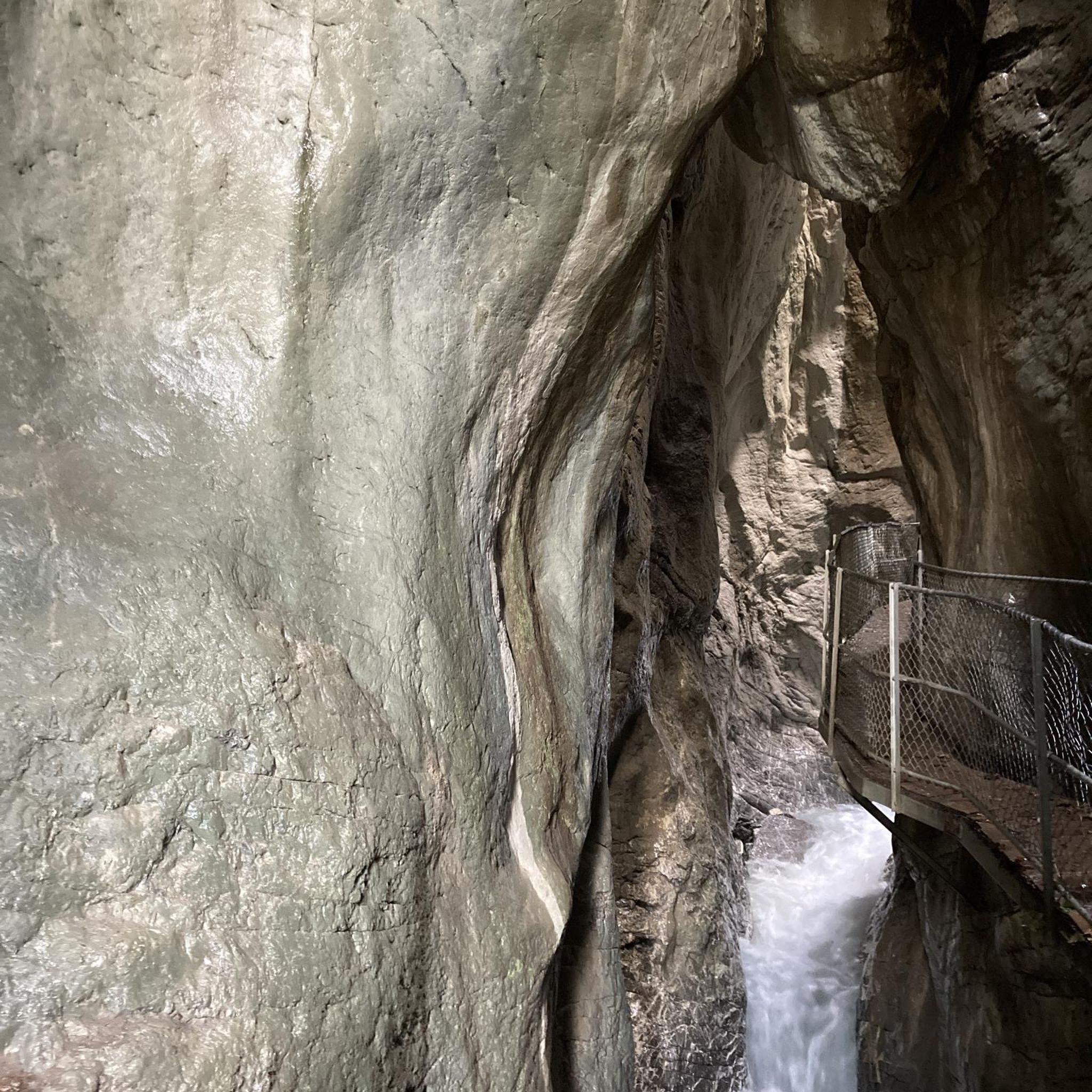
Tips from the Community

Drumkeeragh is a beautiful coniferous woodland located in the southern region of Northern Ireland. The forest is in a mountaineous area, creating an elevated position to enjoy far-reaching views toward the Mourne Mountains, coastline & surrounding lush counyside.
1
0
From this point in the park, you can enjoy sublime views toward the towering Mourne Mountains of Northern Ireland.
1
0
A winding path will lead you past a number of telecommunication towers up to the summit of Slieve Croob. There's some great views on offer here across County Down to the wonderful Mourne mountain range.
1
0
Slieve Croob stands at 534m and is the highest peak of the Dromara Hills, situated just north of the Mourne Mountains. From the summit, you can enjoy expansive views across County Down and toward the Mourne mountain range, a designated Area of Natural Beauty.
2
0

Good views and the most obvious spot to stop at the top of Dree hill, on the edge of Mourne AONB.
0
0

what a great day spent up slieve croob weather was fabulous.. handy enuff on a nice path even saw a few cyclists 👍
0
1

Tough climb to the summit, try and go on a clear day to get the best veiws.
1
0
Frequently Asked Questions
How many hiking trails are available in Ballymacarn South?
Ballymacarn South offers a variety of hiking experiences with over 10 routes documented on komoot. These range from easy walks to more challenging moderate climbs, ensuring options for different skill levels.
Are there any easy hiking trails suitable for beginners or families in Ballymacarn South?
Yes, Ballymacarn South has several easy trails perfect for beginners or families. The Slieve Croob Transmitter Road Walk is an easy 4.5 km route that provides access towards the Slieve Croob area. Another accessible option is the Drumkeeragh Forest – Fallen Tree on Forest Path loop from County Down, which is 5.5 km long and offers a pleasant forest experience.
What kind of natural landscapes can I expect to see while hiking in Ballymacarn South?
The region is characterized by diverse natural landscapes, including rolling hills, dense forests, and more rugged mountain terrain. You'll find prominent features like Slieve Croob, the highest peak of the Dromara Hills, offering expansive views. Areas like Drumkeeragh Forest provide natural woodland environments, while the broader landscape hints at mystical forests and serene lakes.
Are there any circular hiking routes in Ballymacarn South?
Yes, there are several circular routes. For a moderate challenge, consider the Drumkeeragh Forest Park loop, which is 7.7 km. Another popular circular option is the Slieve Croob Summit Path – Slieve Croob Summit loop from Dromara Hills, a 10.1 km trail through mountain terrain.
What historical or natural landmarks can I explore near the hiking trails?
Ballymacarn South is rich in historical and natural landmarks. You can visit the impressive Annadorn Dolmen near Loughinisland Lake, or the famous tripod portal tomb, Legananny Dolmen, in the Mournes. For panoramic views, the Slieve Croob Summit is a must-see. Other points of interest include Clough Castle Ruins and the Harry Ferguson Memorial Garden.
What do other hikers say about the trails in Ballymacarn South?
The hiking routes in Ballymacarn South are highly rated by the komoot community, with an average score of 4.5 stars from over 15 reviews. Hikers often praise the varied terrain, from rolling hills to mountain ascents, and the well-maintained forest paths. Over 250 hikers have used komoot to explore the area, indicating its popularity and appeal.
Are there any specific viewpoints or scenic spots along the trails?
Absolutely. The Slieve Croob Summit is a primary viewpoint, offering expansive views across County Down and towards the majestic Mourne Mountains. You can also find a View of the Mourne Mountains and Newcastle from certain spots, providing stunning vistas of the surrounding landscape.
Are the hiking trails in Ballymacarn South suitable for dogs?
While specific dog-friendly regulations can vary, many trails in natural areas like Ballymacarn South are generally welcoming to dogs, especially if kept on a leash. For forest areas like Drumkeeragh Forest Park, it's always best to keep dogs under control to protect wildlife and ensure a pleasant experience for all hikers.
Are there any longer, more challenging hikes for experienced hikers?
For experienced hikers seeking a moderate challenge, the Slieve Croob Summit Path – Slieve Croob Summit loop from Lagan is a 10.7 km route with significant elevation gain, offering a more strenuous experience. The Slieve Croob Summit Path – Slieve Croob Summit loop from Dromara Hills is another moderate option at 10.1 km, leading through mountain terrain.
What is the best time of year to go hiking in Ballymacarn South?
Ballymacarn South offers hiking opportunities year-round. Spring and summer bring lush greenery and milder weather, ideal for enjoying the full beauty of the landscapes. Autumn provides stunning foliage, while winter can offer crisp, clear days, though conditions on higher ground like Slieve Croob may be more challenging and require appropriate gear.
Are there any places to eat or stay near the hiking areas in Ballymacarn South?
While specific establishments are not detailed in the trail information, the nearby town of Ballynahinch would be the primary hub for cafes, pubs, and accommodation options. It's advisable to check local listings for current services before your visit.
Most popular routes around Ballymacarn South
Most popular attractions around Ballymacarn South

Get inspired with the komoot mobile app


Explore more
Browse the best Hikes in other regions.
