The best cycling routes around Ballymaglave South
45
riders
19
rides
Touring cycling around Ballymaglave South offers routes through a rural landscape in County Down, Northern Ireland. The area is characterized by quiet country roads, the Ballynahinch River, and proximity to scenic features like the Montalto Estate. This region provides a natural setting for cycling, with diverse landscapes found throughout County Down.
Best touring cycling routes around Ballymaglave South
- The most popular touring cycling route is Strangford Lough Cycle Trail, a 21.5 miles (34.6 km) trail that takes 2 hours…
Last updated: May 15, 2026
1
riders
34.6km
02:03
220m
220m
The Strangford Lough Cycle Trail offers a moderate touring bicycle experience, covering 21.5 miles (34.6 km) with an elevation gain of 733 feet (224 metres). You can expect to complete…
1
riders
56.7km
03:26
440m
440m
Embark on the Strangford Lough Cycle Trail, a moderate touring bicycle route that guides you through the scenic Strangford & Lecale Area of Outstanding Natural Beauty. This journey spans 35.2…

Sign up for free
33.5km
02:02
290m
290m
Embark on the Saintfield to Giant's Ring loop, a moderate touring bicycle route spanning 20.8 miles (33.5 km) with an elevation gain of 960 feet (293 metres). You can expect…
50.8km
03:21
720m
720m
Embark on the Ballynahinch to Windy Gap loop, a difficult touring cycling route that challenges you with significant climbs and descents through beautiful countryside. This 31.6-mile (50.8 km) journey involves…
26.9km
01:39
230m
230m
Embark on The Spa to Annadorn Dolmen loop, a moderate touring cycling route in County Down, Northern Ireland, that combines historical sites with scenic countryside. This 16.7-mile (26.9 km) loop…
Get access to more routes and recommendations from other explorers.
Sign up for free
Already have an account?
Our route recommendations are based on thousands of hikes, rides, and runs completed by other people on komoot.
Start today with a free account
Your next adventure awaits.
Login or Signup
Popular around Ballymaglave South
Tips from the Community

Cycle and pedestrian bridge over the Lagan
1
0

The bridge is named after Captain John Shaw of Oliver Cromwell's army, who built an oak bridge here in 1655. A stone bridge was built by Thomas Burgh in 1691, although this was destroyed by flooding, which led to it being replaced by the present bridge in 1709.
3
0
The facility is of impressive size.
3
0
The structure consists of a circular earthen ring with a diameter of 180 m and an area of 28,000 square meters, surrounded by an earthen rampart 3.5 m high. At least three of the five irregularly distributed gaps in the ring are intentional and possibly original. East of the center of the ring is a small passage grave with a westward-facing entrance.
4
0


The truncated round tower rises from afar, its massive structure still preserved up to 10.7 metres. Originally, the tower served not only as a spiritual place, but also offered a strategic view over the valley - a real advantage for spotting any Viking raids early on. The history of the nearby monastery, which is associated with St. Mochumma, is also interesting. It is said that the site was looted in 1130 and that the remains of a church were discovered near the tower as late as the 18th century. The beam holes inside suggest that the six floors were made of wood and offered a certain level of comfort.
1
0
As you get closer, the mystical aura of the place unfolds, with its mighty, almost circular earthen wall, which measures over 180 meters in diameter and dominates the view over the surrounding plateau. This ancient henge complex is one of the largest and best-preserved monuments of its kind in Ireland - hard to miss when you get close to Shaw's Bridge. In the center of the ring, a megalithic tomb awaits you, which tells its own story with its five supporting stones and a mighty capstone. You can literally feel the thousands of years that have passed here since ceremonies and gatherings probably took place at this place. It is impressive how the Giant's Ring has survived over time, while the wooden structures of the Ballynahatty settlements are long gone.
1
0
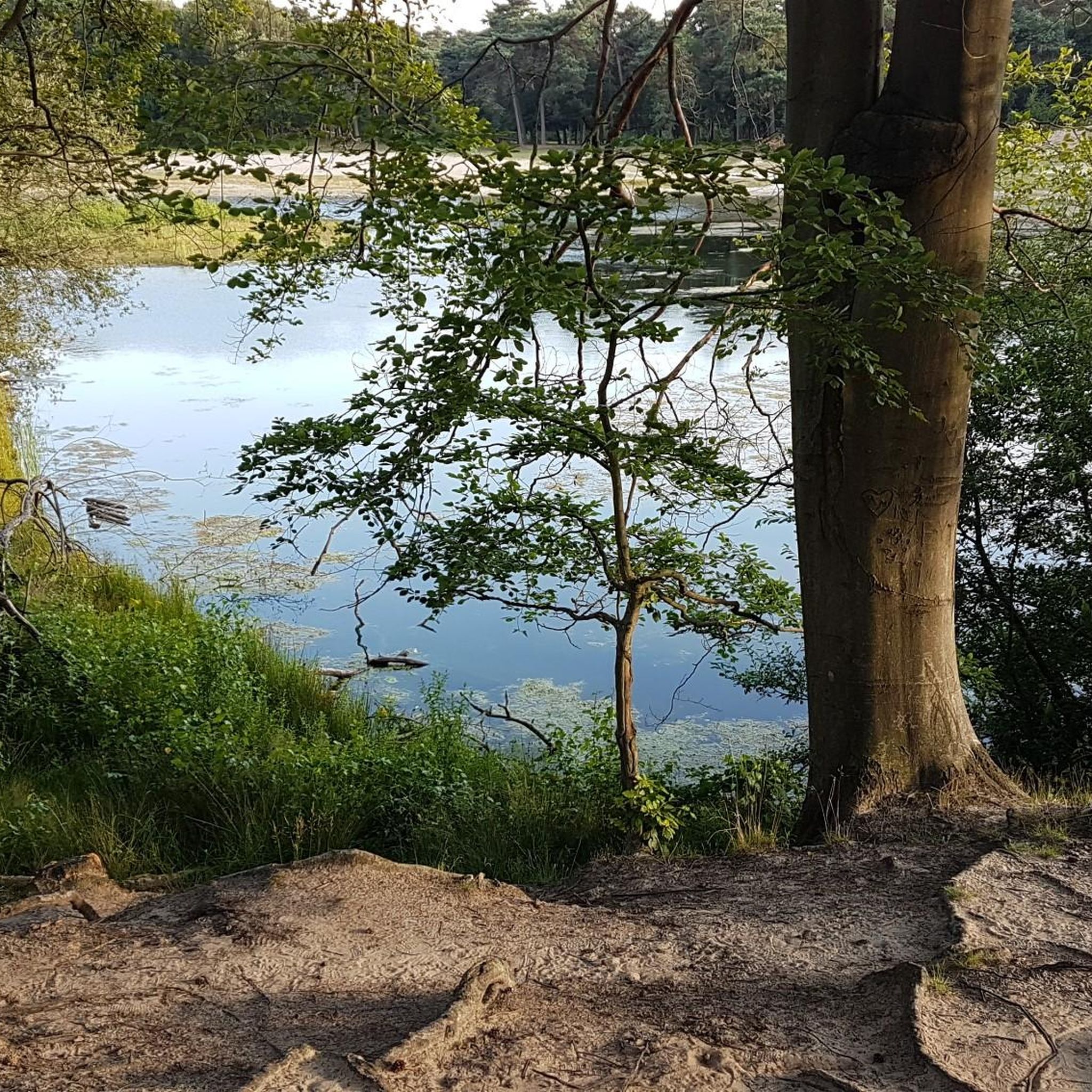
The old stone bridge stretches majestically over the still water, which is perfectly reflected and creates a calm, almost magical atmosphere. The surrounding nature is inviting and offers a wonderful backdrop with green meadows and shady paths. A light wind blows through the trees and the sounds of nature accompany you with every pedal stroke.
1
0
Frequently Asked Questions
How many touring cycling routes are available around Ballymaglave South?
There are nearly 20 touring cycling routes around Ballymaglave South, offering a variety of experiences through the rural landscape of County Down. These routes cater to different skill levels, from easy rides to more challenging adventures.
What kind of terrain can I expect on touring cycling routes in Ballymaglave South?
The touring cycling routes in Ballymaglave South primarily feature quiet country roads, offering a peaceful journey through rural Northern Ireland. You'll encounter varied terrain, including gentle inclines and descents, with some routes providing views towards the wider County Down landscape and the Ballynahinch River.
Are there any easy touring cycling routes suitable for beginners or families?
Yes, Ballymaglave South offers easy touring cycling routes perfect for beginners or families looking for a relaxed ride. These routes typically have less elevation gain and cover shorter distances, allowing for a comfortable experience through the scenic countryside.
Are there challenging touring cycling routes for experienced cyclists?
For experienced cyclists seeking a challenge, there are several difficult touring cycling routes available. One such route is the Ballynahinch to Windy Gap loop, which covers over 50 km and features significant elevation changes, providing a demanding ride through the region's varied terrain.
Can I find circular touring cycling routes in the area?
Yes, many of the touring cycling routes around Ballymaglave South are circular, allowing you to start and end your journey at the same point. Examples include the Saintfield to Giant's Ring loop and The Spa to Annadorn Dolmen loop, which offer convenient options for exploring the area.
What are some notable sights or attractions I can visit while cycling?
While cycling around Ballymaglave South, you can explore several interesting sights. The long driveway of the Montalto Estate begins in Ballymaglave South, and nearby attractions include the historic Annadorn Dolmen and the beautiful Seaforde Gardens and Tropical Butterfly House. You might also encounter viewpoints like Slieve Croob Summit, offering panoramic views.
Where can I park my car when starting a touring cycling route?
Given the rural nature of Ballymaglave South and its surrounding areas, parking is generally available in nearby towns or at designated trailheads. It's advisable to check specific route details or local signage for the most convenient parking options before you set out.
What is the best time of year to go touring cycling in Ballymaglave South?
The best time for touring cycling in Ballymaglave South is typically during the spring, summer, and early autumn months (April to October). During these periods, the weather is generally milder and more predictable, making for more enjoyable rides through the scenic County Down countryside.
Are there any routes that offer views of the Montalto Estate or the Ballynahinch River?
Yes, the region's routes often pass through areas that offer glimpses of the Montalto Estate's surroundings, as its driveway begins in Ballymaglave South. The Ballynahinch River also forms a natural boundary nearby, and many routes will bring you close to its scenic banks, contributing to the tranquil landscape.
What makes Ballymaglave South a good destination for touring cyclists?
Ballymaglave South is an excellent destination for touring cyclists due to its quiet rural roads, natural beauty, and proximity to various attractions in County Down. The area offers a peaceful cycling experience away from heavy traffic, with diverse landscapes and historical sites to explore, making it ideal for those seeking a tranquil journey.
For a longer touring cycling adventure, what route would you recommend?
For a longer touring cycling adventure, consider the extended Strangford Lough Cycle Trail. This route spans over 56 km and offers extensive views of the expansive Strangford Lough, providing a substantial and rewarding ride for those looking to cover more distance.
Are there options for shorter touring cycling trips?
Absolutely. If you're looking for a shorter touring cycling trip, routes like The Spa to Annadorn Dolmen loop are ideal. This route is around 27 km, offering a pleasant ride through varied rural terrain that can be completed in under two hours, perfect for a half-day outing.
Most popular routes around Ballymaglave South
Most popular attractions around Ballymaglave South

Get inspired with the komoot mobile app


Explore more
Browse the best Cycling routes in other regions.
