The best walks and hikes around Lac de Roselend
4.7
(1004)
16,439
hikers
10
hikes
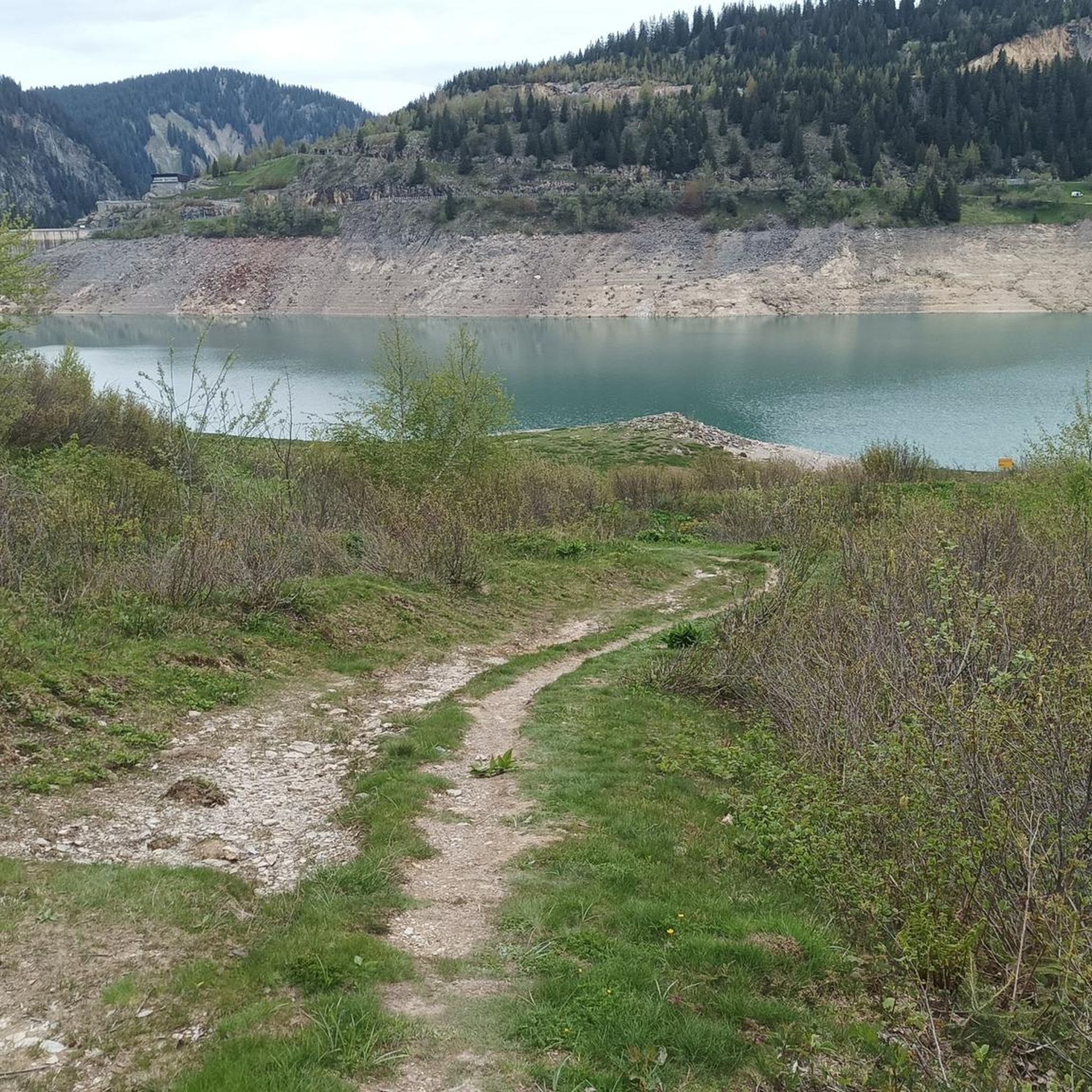
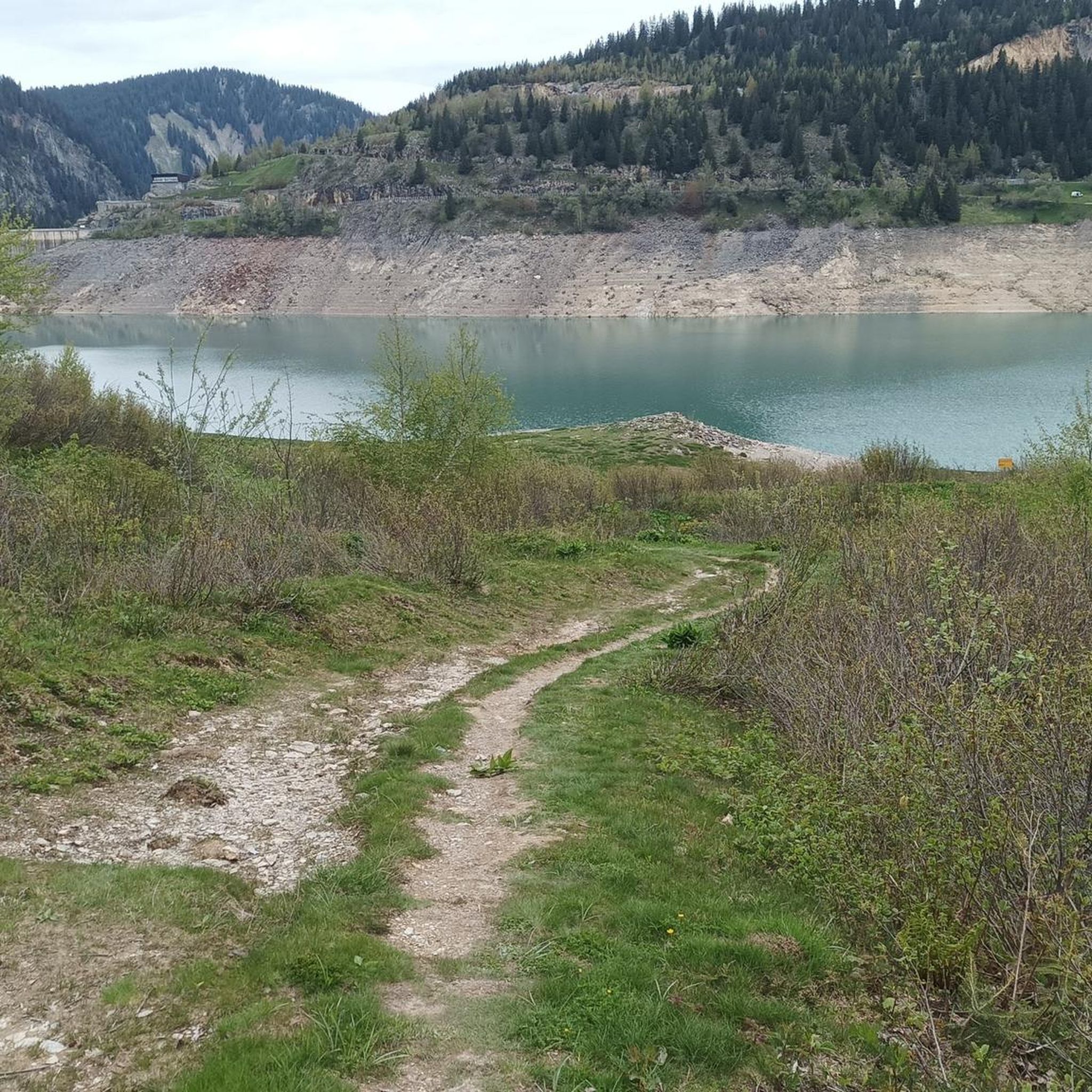
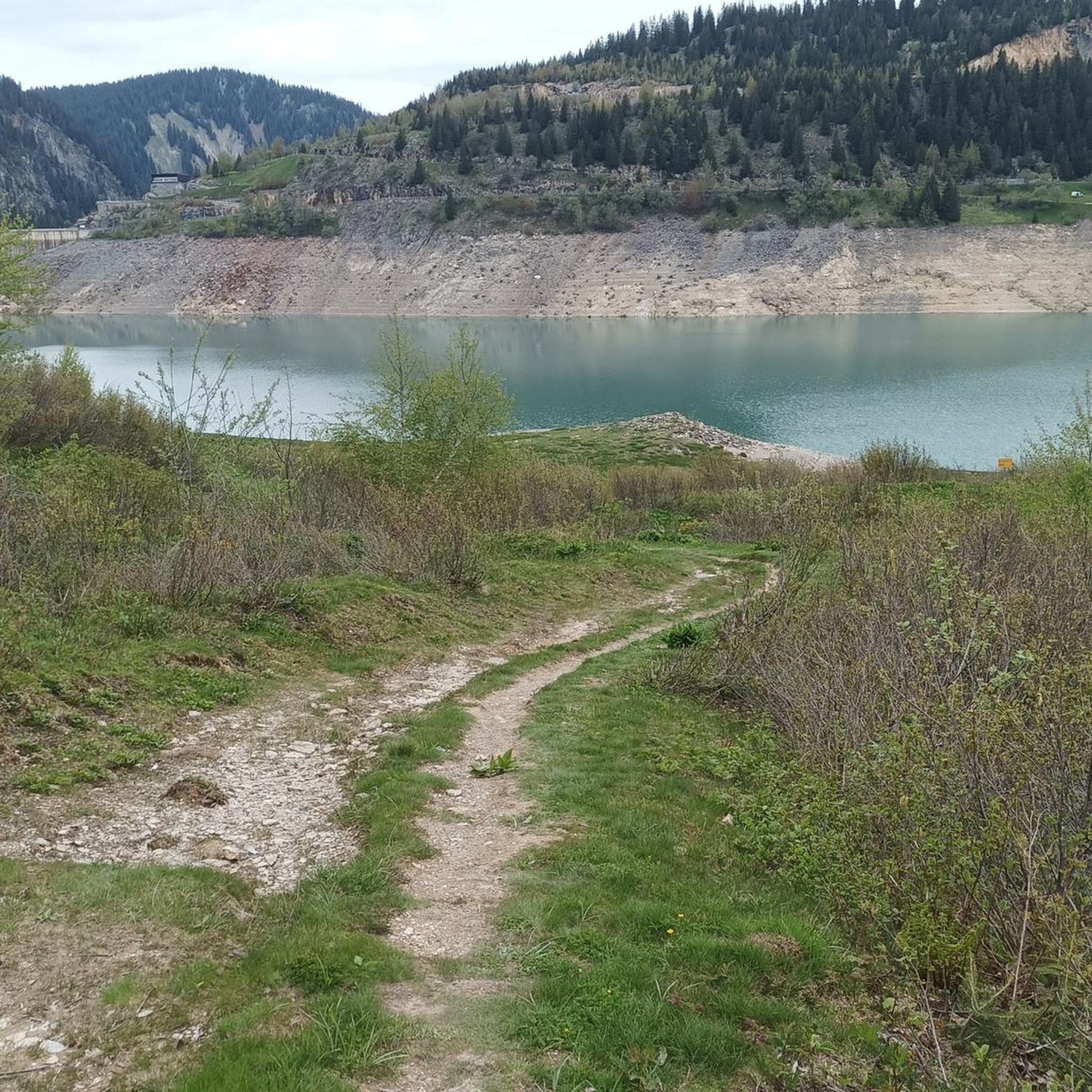
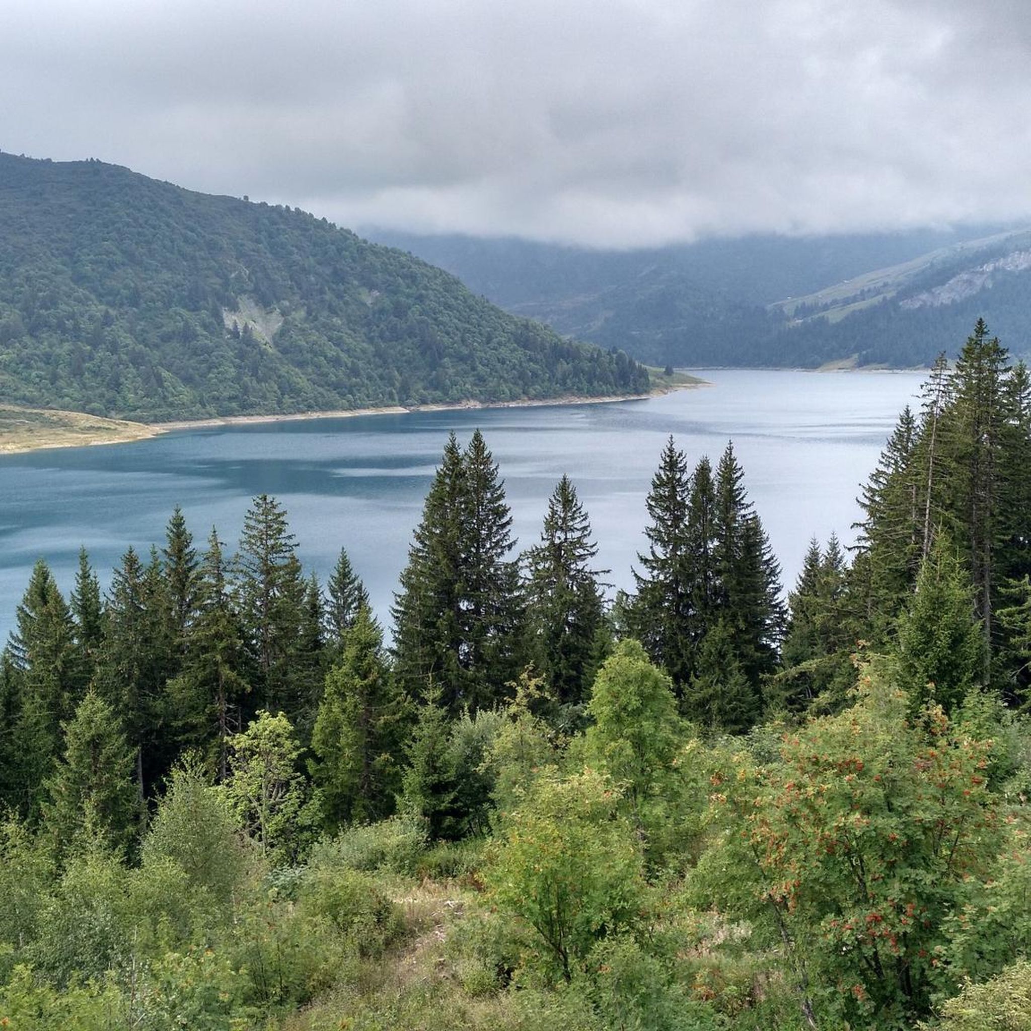
Hiking around Lac de Roselend offers diverse trails set within the Beaufortain massif in Savoie, France. The region is characterized by the turquoise waters of Lac de Roselend, surrounded by prominent peaks such as Roc du Vent and Aiguille du Grand Fond. Hikers can explore alpine meadows, dense forests, and several other lakes, including Saint-Guérin and Gittaz. The terrain varies from gentle lakeside paths to more challenging ascents, providing options for different fitness levels.
Best hiking trails around Lac de…
Last updated: June 28, 2026
4.3
(25)
252
hikers
16.6km
05:01
410m
410m
Hard hike. Very good fitness required. Mostly accessible paths. Sure-footedness required.
4.4
(9)
167
hikers
21.8km
08:11
1,190m
1,180m
Hard hike. Very good fitness required. Sure-footedness, sturdy shoes and alpine experience required.

Sign up for free
3.8
(4)
123
hikers
20.0km
07:32
1,090m
1,090m
Hard hike. Very good fitness required. Mostly accessible paths. Sure-footedness required.
5.0
(4)
97
hikers
15.0km
04:57
610m
610m
Moderate hike. Good fitness required. Mostly accessible paths. Sure-footedness required.
3.8
(5)
47
hikers
11.4km
03:27
400m
400m
Moderate hike. Good fitness required. Easily-accessible paths. Suitable for all skill levels.
Get access to more routes and recommendations from other explorers.
Sign up for free
Already have an account?
Our route recommendations are based on thousands of hikes, rides, and runs completed by other people on komoot.
Start today with a free account
Your next adventure awaits.
Login or Signup

Tips from the Community

A freelancer and a home-based business require a Shop and Establishment Certificate. As it ensures legal identity, it erects client trust and complies with local labor laws. Shop License enables smooth business activities, is eligible for government benefits and registration, and bank account opening. https://www.legalraasta.com/shop-establishment-license
0
0
The music and editing https://www.sanjoserestaurantorder.online/ style create a vibe that’s hard not to enjoy.
1
0

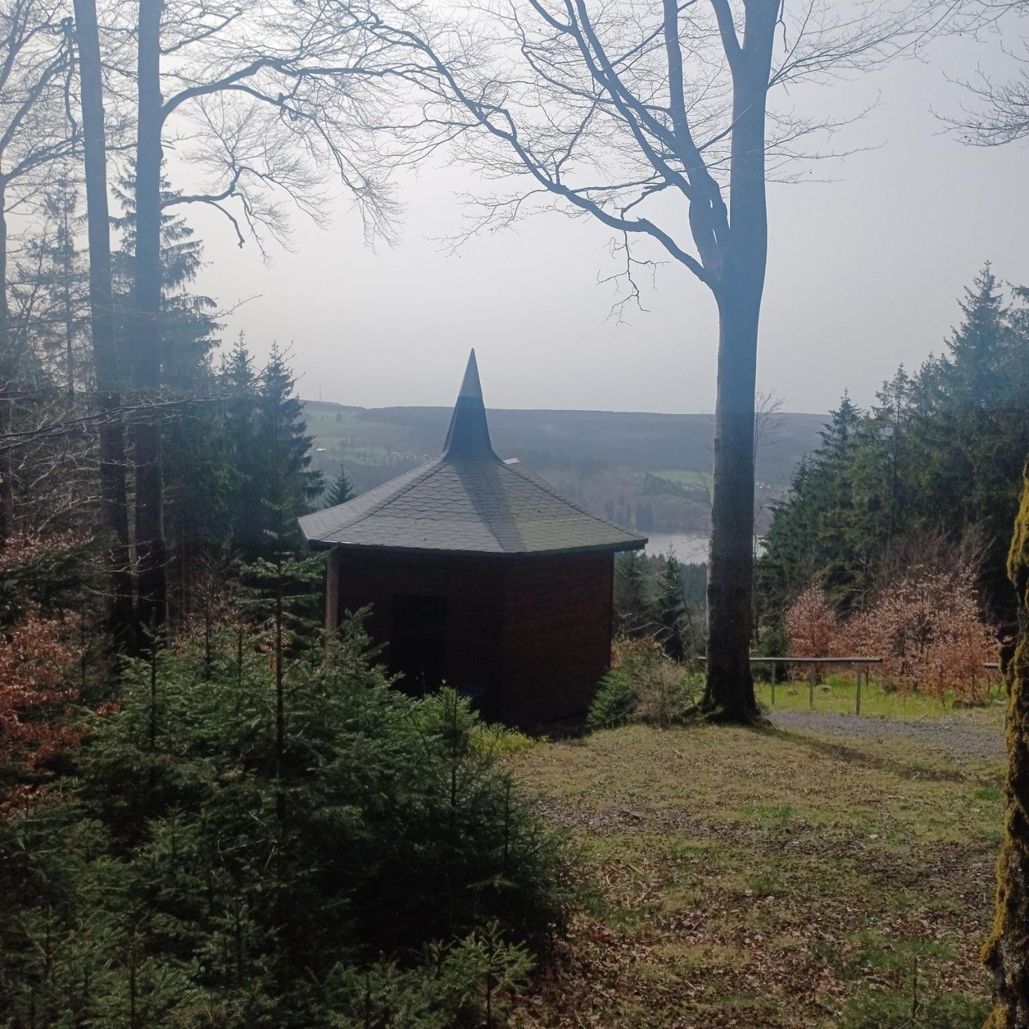
Fantastic views from the ridgeline at the summit 🤩
0
0

This lake is located at an altitude of 2,248 meters, at the foot of Pierra Menta, a remarkable peak in the Beaufortain massif. https://youtu.be/G0Ss9v6wxQQ
1
0
The Roselend Dam is located in the commune of Beaufort-sur-Doron, in the Beaufortain region of Savoie, between the Col du Pré and the Cormet de Roselend, near the Arêches-Beaufort ski resort. The surrounding mountains reach an altitude of around 2,800 meters. It is part of the Roselend La Bâthie hydroelectric complex, which includes the Roselend Dam and two satellite dams: La Gittaz and Saint-Guérin. This complex is managed by EDF's Alpes Production Unit. The Roselend La Bâthie hydroelectric complex produces the equivalent of the domestic energy consumption of 450,000 residents, thus avoiding the emission of 890,000 tons of CO2 per year. The Roselend Dam is a double-curved arch dam with buttresses. Height = 150 meters Crest length = 804 meters Water reservoir [of the hydroelectric complex] = 187 million m3 The Roselend - La Bâthie development is supplied by the Roselend dam itself, as well as by two satellite dams, La Gittaz and Saint-Guérin. The total storage capacity of these three reservoirs, connected by a system of galleries, is 213 million m3. The water collected at Roselend crosses the massif through a 12.5 km long gallery to flow at an altitude of 1,400 m into the Isère Valley, in the Tarentaise region. It is then transported to the underground plant at La Bâthie via a 2,500 m long penstock, with a drop of 1,200 m. The power plant is equipped with six Pelton-type generating units with a total capacity of 550 MW. Since 2013, EDF has been replacing the main components of each generating unit (turbine, generator, transformer, and energy evacuation cables) to achieve a total capacity of 600 MW by the end of 2018. https://youtu.be/G0Ss9v6wxQQ
1
0
A breathtaking view
0
0
Incredible views and a breathtaking ridge trail
0
0
Superb view of Mont Blanc from Roche Pastire
0
0
Frequently Asked Questions
How many hiking trails are available around Lac de Roselend?
The Lac de Roselend area offers a wide variety of hiking opportunities, with over 300 routes recorded on komoot. These trails cater to all levels, from easy strolls to challenging day hikes, ensuring there's something for every adventurer.
Are there any easy, family-friendly hikes around Lac de Roselend?
Yes, there are several easy and family-friendly options. The area around Lac Saint-Guérin is particularly suitable, featuring a spectacular 83-meter-long Himalayan footbridge that connects its banks, suspended more than 20 meters above the lake. This walk is accessible to various mobility levels and offers a unique experience.
What are the notable landmarks or natural features to see while hiking near Lac de Roselend?
Hikers can explore several impressive landmarks and natural features. The Roselend Dam itself is a significant sight, and the rebuilt Roselend Chapel offers beautiful views. Beyond the main lake, you'll find other picturesque bodies of water like Saint-Guérin, Gittaz, Fairy Lake, Lake Tournant, and Lake of Love, all set against a backdrop of majestic peaks like Roc du Vent and Aiguille du Grand Fond.
Are there any circular hiking routes around Lac de Roselend?
Yes, the region is well-suited for circular hikes. A popular option is the Roselend Chapel – Roselend Chapel loop from Bar-Restaurant des Lanches, a moderate 10.5 km trail that takes about 3 hours and 15 minutes. This route allows you to experience the diverse alpine terrain and scenic views.
What is the best time of year to go hiking in Lac de Roselend?
The best time to hike around Lac de Roselend is typically from late spring to early autumn (June to September). During these months, the alpine meadows are lush with blooming rhododendrons, the weather is generally favorable, and the trails are clear of snow, offering the most accessible and picturesque conditions.
What kind of wildlife can I expect to see on the trails?
While hiking through the alpine meadows and along the trails, you might spot various local wildlife. Marmots are a common sight in the 'alpages' (high-altitude pastures), adding to the natural charm of the area. Keep an eye out for diverse bird species and other small mammals that inhabit the Beaufortain massif.
Are there any challenging day hikes for experienced hikers?
Absolutely. For experienced hikers seeking a challenge, the Lake of Love – Coin Pass loop from Barrage de Roselend is a demanding option. This difficult 21.5 km route involves over 1100 meters of elevation gain and typically takes around 8 hours to complete, offering extensive views and a rigorous workout.
What do other hikers enjoy most about hiking in Lac de Roselend?
The area is highly rated by the komoot community, with an average score of 4.7 stars from over 1,100 reviews. Reviewers often praise the stunning turquoise waters of the lake, the dramatic mountain vistas, and the diverse network of trails that cater to all ability levels, from gentle lakeside paths to challenging ascents.
Can I bring my dog on the hiking trails around Lac de Roselend?
Many trails in the Lac de Roselend area are dog-friendly, allowing you to enjoy the beautiful alpine scenery with your canine companion. However, it's always recommended to keep dogs on a leash, especially in areas with livestock or protected wildlife, and to check specific trail regulations before heading out.
Are there opportunities for activities other than hiking around Lac de Roselend?
Yes, Lac de Roselend is a hub for various outdoor activities. Beyond hiking, you can enjoy cycling and mountain biking on dedicated routes. The calm waters of the lake also allow for activities like canoeing, kayaking, and stand-up paddleboarding in designated areas. Fishing is also popular in the cold, deep waters, which are classified for salmonids.
What is the typical terrain and elevation gain for hikes in this region?
The terrain around Lac de Roselend is quite varied. You'll find gentle paths along the lake shores, but also more rugged trails ascending through alpine meadows and rocky sections. Elevation gains can range from a few hundred meters for moderate loops, like the Roche Parstire – View of the Roselend dam loop from Barrage de Roselend with 611 meters of ascent, to over 1000 meters for more difficult, longer excursions.
Are there any hikes that offer views of Mont Blanc?
While not directly adjacent, some longer and more challenging hikes in the broader Beaufortain massif, such as those extending towards the Refuge de Presset from the Cormet de Roselend area, can offer distant but spectacular views of Mont Blanc on clear days. These typically require a good level of fitness and experience.
Most popular routes around Lac de Roselend
Most popular attractions around Lac de Roselend

Get inspired with the komoot mobile app


Explore more
Browse the best Hikes in other regions.
