The best walks and hikes around Chaldon Herring
4.6
(1757)
16,805
hikers
303
hikes
Hiking around Chaldon Herring offers diverse landscapes within the chalk downland of Dorset. The region is characterized by undulating chalk hills and coastal paths, providing access to the iconic Jurassic Coast. Hikers can experience a mix of limestone formations, rolling downland, and picturesque bays. The terrain includes both gentle slopes and more challenging ascents along the South West Coast Path.
Best hiking trails around Chaldon Herring
- The most popular hiking route is Lulworth Cove – View of Durdle Door loop from Durdle Door, an easy 4.1 miles (6.6 km) trail that takes about 2 hours to complete. This path offers views of the natural limestone arch of Durdle Door and the horseshoe-shaped Lulworth Cove.
- Another top favourite among local hikers is Ringstead Bay – View of Durdle Door loop from Durdle Door, a moderate 8.0 miles (12.9 km) path. This route provides dramatic coastal views and traverses the downland above Ringstead Bay, taking approximately 3 hours 50 minutes.
- Local hikers also love the Man O'War Beach – View of Durdle Door loop from West Lulworth, an easy 2.7 miles (4.4 km) trail leading through coastal scenery, often completed in about 1 hour 16 minutes.
- Hiking around Chaldon Herring is defined by chalk hills, coastal paths, and rolling downland. The network offers options for different ability levels, from easy strolls to more strenuous hikes along the Jurassic Coast.
- The routes in Chaldon Herring are highly rated by the komoot community with an average score of 4.6 stars from over 1,400 reviews. More than 15,000 hikers have used komoot to explore Chaldon Herring's varied terrain.
Last updated: October 26, 2026
5.0
(8)
150
hikers
6.59km
02:00
210m
210m
Easy hike. Easily walkable paths.
5.0
(1)
35
hikers
5.32km
01:32
130m
130m
Easy hike. Easily walkable paths.

5.0
(7)
172
hikers
2.42km
00:47
100m
100m
Easy hike. Easily walkable paths.
4.3
(7)
21
hikers
12.7km
03:50
390m
390m
Moderate hike. Good fitness required. Easily walkable paths.
5.0
(4)
15
hikers
Moderate hike. Good fitness required. Easily walkable paths.
Get access to more routes and recommendations from other explorers.
Already have an account?
Our route recommendations are based on thousands of hikes, rides, and runs completed by other people on komoot.
Start today with a free account
Your next adventure awaits.
Tips from the Community

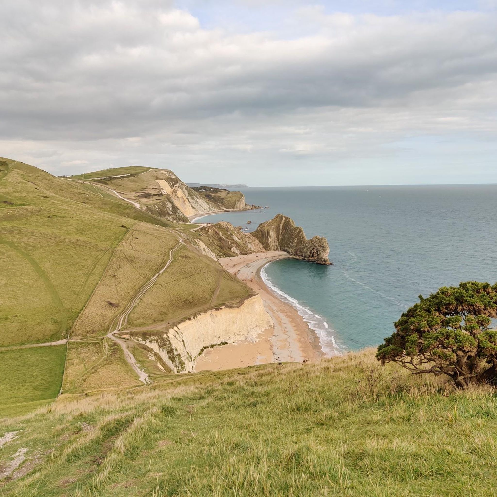
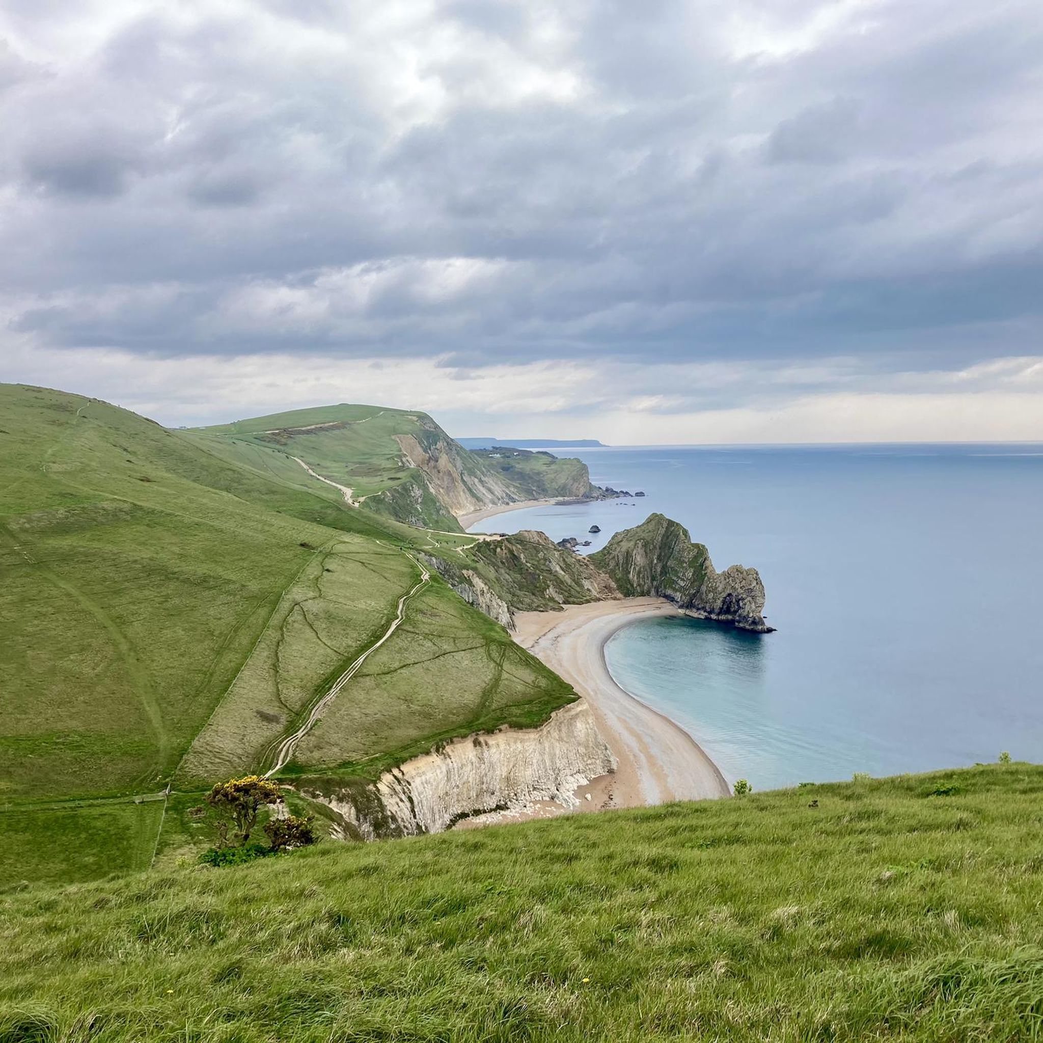
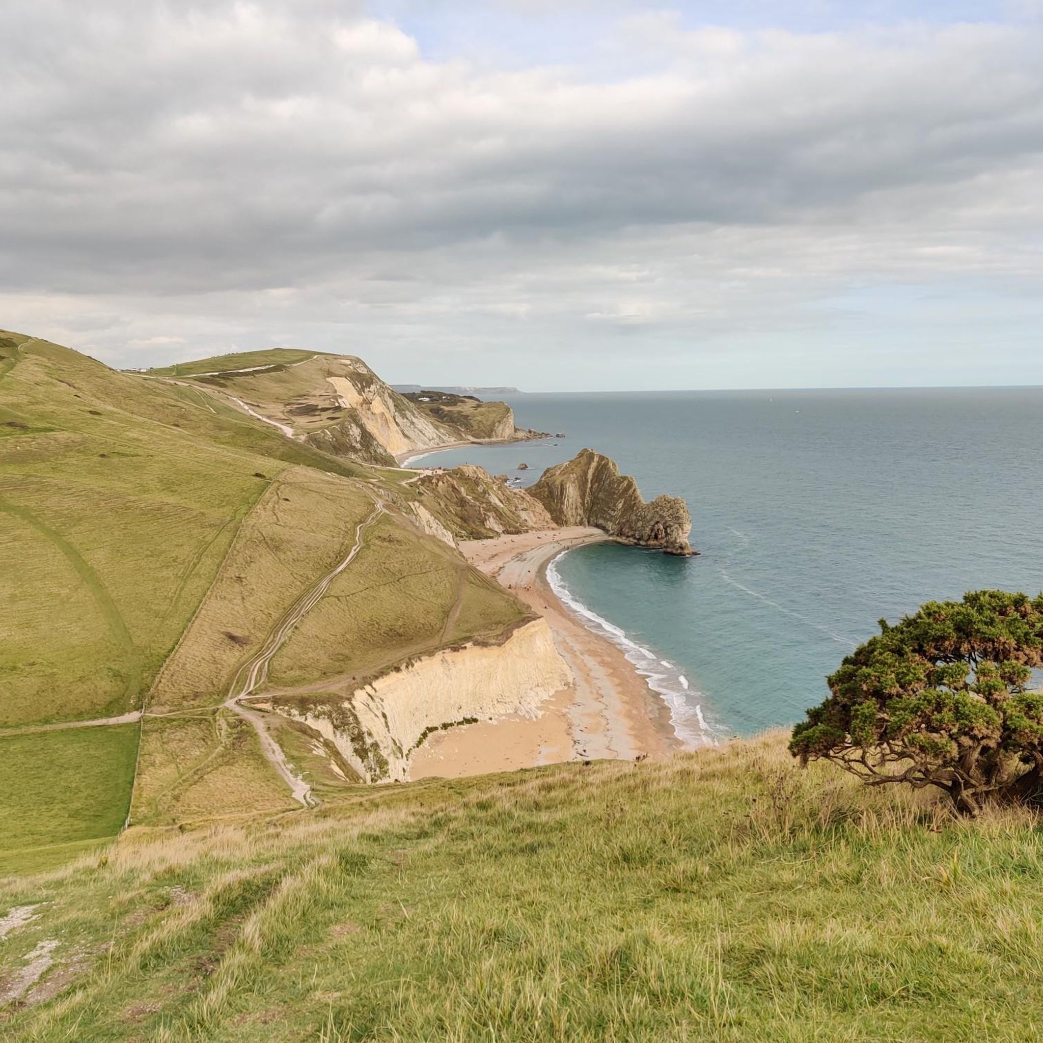
Durdle Door was formed roughly 140 million years ago when powerful tectonic collisions pushed vertical layers of hard Portland limestone against softer rock. Over millennia, relentless waves punched through the softer stone, carving out the iconic archway seen today. Its name comes from the Old English word thirl, meaning "to pierce." Eventually, coastal erosion will cause the arch to collapse, leaving behind a isolated sea stack.
0
0

We did not descend here. With strong east wind, it was too winding for us there.
0
0
A very beautiful and much-traveled coastal path.
0
0
The Chaldon Down navigation beacon, often called the Lulworth monolith, is a historic stone obelisk standing on the cliffs west of Lulworth Cove. Built from stone and faced with mortar, this distinctive triangular structure serves as a timeless clifftop landmark, offering spectacular panoramic views along the Jurassic Coast.
0
0
Chaldon Herring’s village green is a peaceful, quintessential Dorset spot wrapped in literary history. It is the perfect place to sit back, unwind, and soak up the quiet, timeless charm of the countryside.
0
0
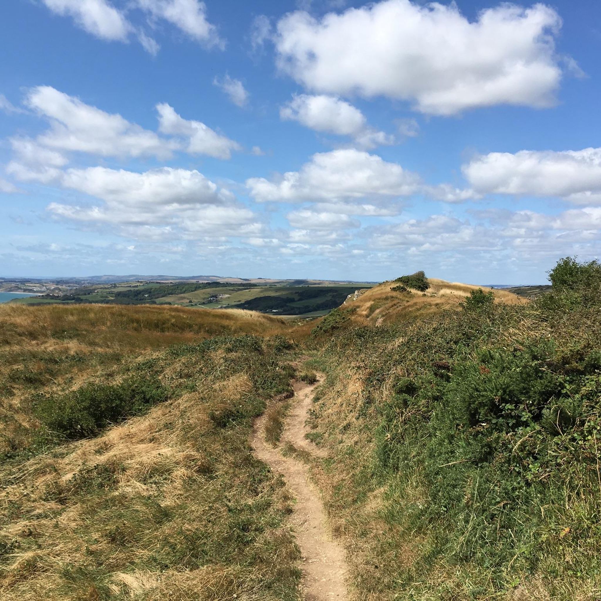
The Chaldon Herring coastal path offers a peaceful Dorset hike past rolling green hills, ancient barrows, and dramatic chalk cliffs. You can explore a lovely circular route detailed on AllTrails, perfect for quiet sea views
0
0
Frequently Asked Questions
How many hiking trails are available around Chaldon Herring?
Chaldon Herring offers a wide variety of hiking opportunities, with over 300 routes recorded on komoot. These range from easy strolls to more challenging coastal paths, ensuring there's something for every fitness level.
What kind of landscapes can I expect to see while hiking near Chaldon Herring?
The region around Chaldon Herring is characterized by its diverse and dramatic topography. You'll experience undulating chalk downland, stunning coastal paths along the iconic Jurassic Coast, and unique limestone formations. Expect a mix of rolling hills, picturesque bays, and dramatic sea views.
Are there any family-friendly hiking options in Chaldon Herring?
Yes, there are many easy routes suitable for families. For instance, the Man O'War Beach – View of Durdle Door loop from West Lulworth is an easy 2.7-mile (4.4 km) trail that offers beautiful coastal scenery and is often completed in just over an hour. Many paths around Lulworth Cove are also gentle and accessible.
What are the most notable natural landmarks to see on a hike?
Chaldon Herring is close to some of Dorset's most iconic natural attractions. You can hike to the magnificent Durdle Door, a natural limestone arch, and the picturesque Lulworth Cove. Don't miss Stair Hole near Lulworth Cove, which showcases extraordinary folds of limestone strata.
Are there any circular hiking routes available?
Yes, many routes in the area are circular, allowing you to start and end in the same location. A popular moderate option is the View of the Beach and Bay – Ringstead Bay loop from Ringstead, which offers fantastic views of the coast and bay.
What is the best time of year to go hiking in Chaldon Herring?
The spring and summer months (April to September) generally offer the most pleasant weather for hiking, with longer daylight hours and warmer temperatures. However, the coastal paths can be enjoyed year-round, with autumn and winter providing dramatic, quieter landscapes, though some trails might be muddy.
Are there any challenging hikes for experienced trekkers?
While many routes are easy to moderate, there are 13 difficult trails for those seeking a greater challenge. These often involve more significant elevation changes and longer distances, particularly along sections of the South West Coast Path, offering strenuous but rewarding experiences.
What do other hikers say about the trails in Chaldon Herring?
The hiking trails around Chaldon Herring are highly regarded by the komoot community, with an average rating of 4.6 stars from over 1,400 reviews. Hikers frequently praise the stunning coastal views, the geological wonders, and the variety of landscapes from downland to beach.
Are there any historical sites or castles to visit nearby?
Yes, the region has historical significance. You can explore sites like Lulworth Castle, a historic landmark with extensive grounds, or the medieval Woodsford Castle, offering a glimpse into the area's past.
Where can I find parking for hiking trails in Chaldon Herring?
Parking is generally available at popular trailheads and attractions. For instance, there are car parks near Durdle Door and Lulworth Cove, which serve as starting points for many coastal walks. It's advisable to check specific route details for parking information.
Are there options for public transport to access hiking areas?
While Chaldon Herring itself is a rural village, public transport options exist to reach key hiking areas. Buses often connect larger towns like Wareham or Wool to popular coastal spots such as Lulworth Cove and Durdle Door, from where many trails begin.
Can I find places to eat or drink near the hiking routes?
Yes, you'll find welcoming establishments in and around the hiking areas. The village of Chaldon Herring has local pubs like The Sailor's Return, known for its charm. Additionally, Lulworth Cove and other popular spots often have cafes and eateries for refreshments after your hike.
Most popular attractions around Chaldon Herring

Get inspired with the komoot mobile app


Explore more
Browse the best Hikes in other regions.
