The best mountain hikes around Lac de Tignes
4.5
(5)
30
hikers
7
hikes
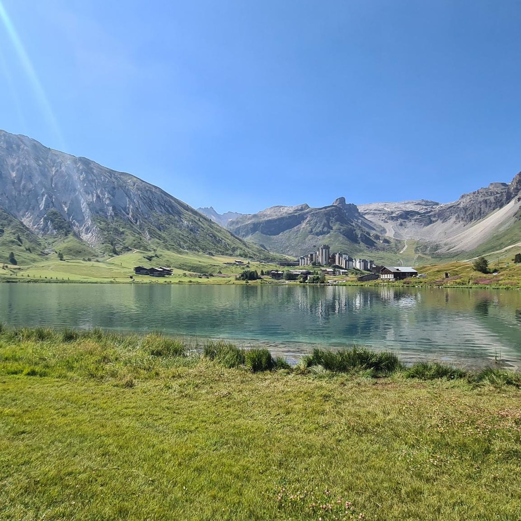
Mountaineering around Lac de Tignes is set within the French Alps, characterized by dramatic alpine environments, high-altitude terrain, and iconic peaks such as Mont Blanc and the Grande Casse. The region features the Grande Motte glacier, offering access to icy landscapes, and distinctive rock formations like the Aiguille Percée. Lac de Tignes itself is situated at an altitude of 2100 meters, with the area bordering the Vanoise National Park.
Best mountaineering routes around Lac de Tignes
- The most popular mountaineering…
Last updated: July 1, 2026
4.5
(2)
10
hikers
8.00km
03:27
610m
610m
Moderate mountaineering route. Good fitness required. Mostly accessible paths. Sure-footedness required.
5
hikers
13.4km
05:24
750m
750m
Hard mountaineering route. Very good fitness required. Mostly accessible paths. Sure-footedness required.

Sign up for free
5.0
(1)
3
hikers
12.8km
04:36
600m
600m
Moderate mountaineering route. Good fitness required. Mostly accessible paths. Sure-footedness required.
4
hikers
9.15km
03:13
490m
490m
Moderate mountaineering route. Good fitness required. Mostly accessible paths. Sure-footedness required.
4
hikers
16.7km
07:19
1,000m
1,000m
Hard mountaineering route. Very good fitness required. Mostly accessible paths. Sure-footedness required.
Get access to more routes and recommendations from other explorers.
Sign up for free
Already have an account?
Our route recommendations are based on thousands of hikes, rides, and runs completed by other people on komoot.
Start today with a free account
Your next adventure awaits.
Login or Signup
Tips from the Community

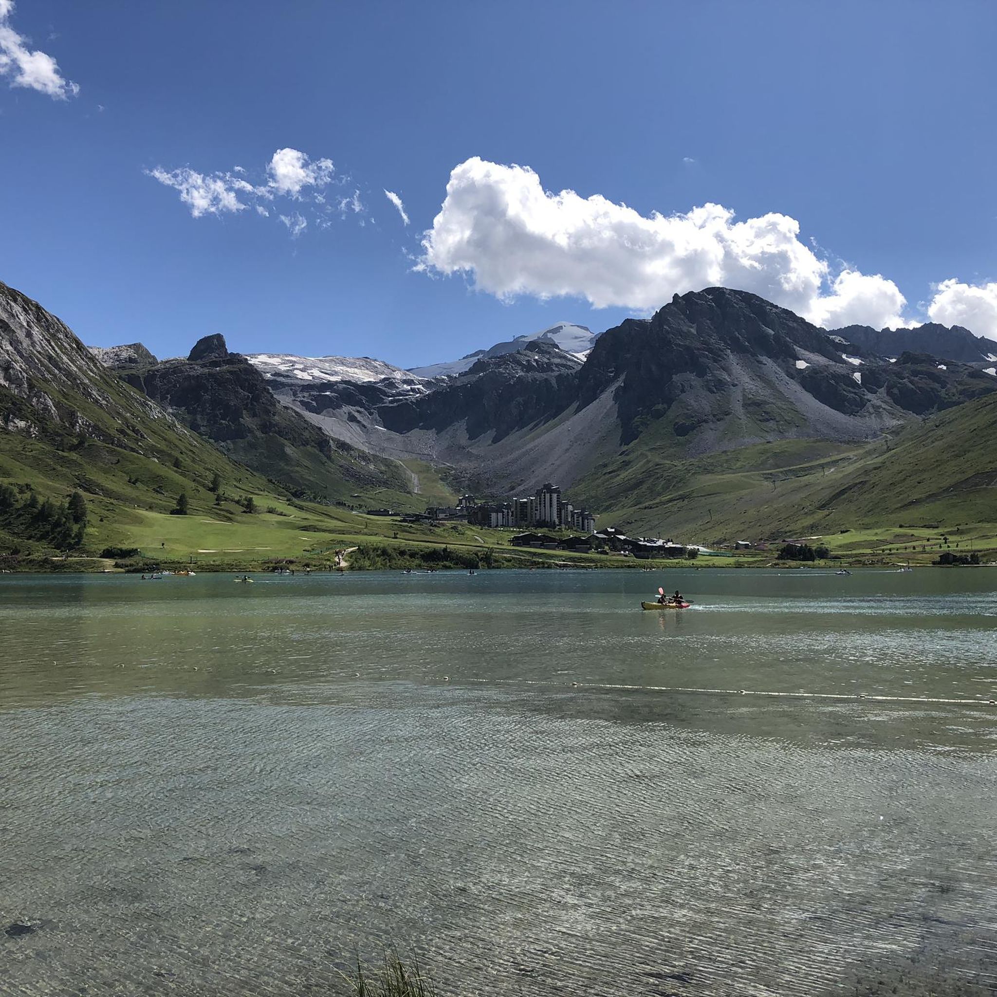
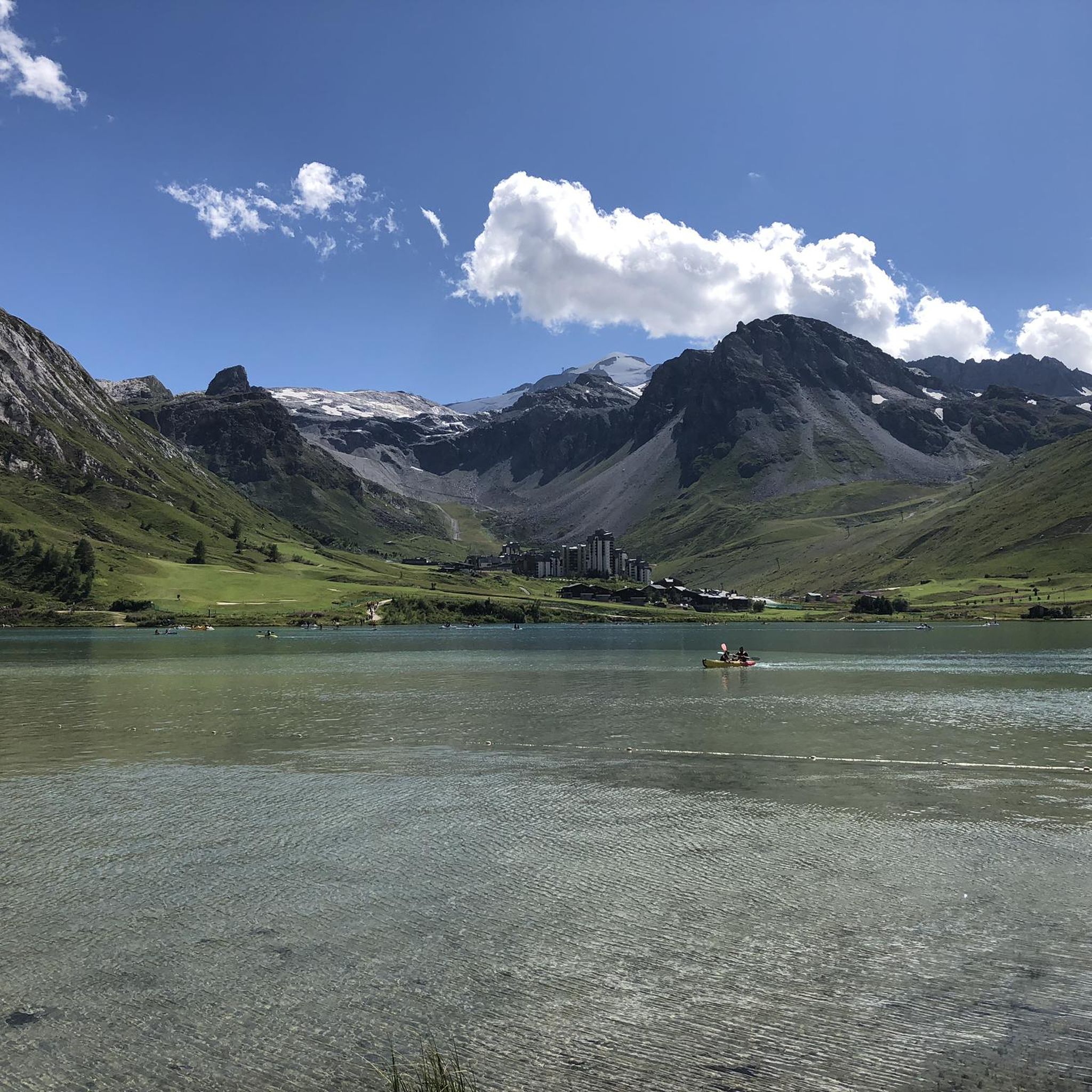
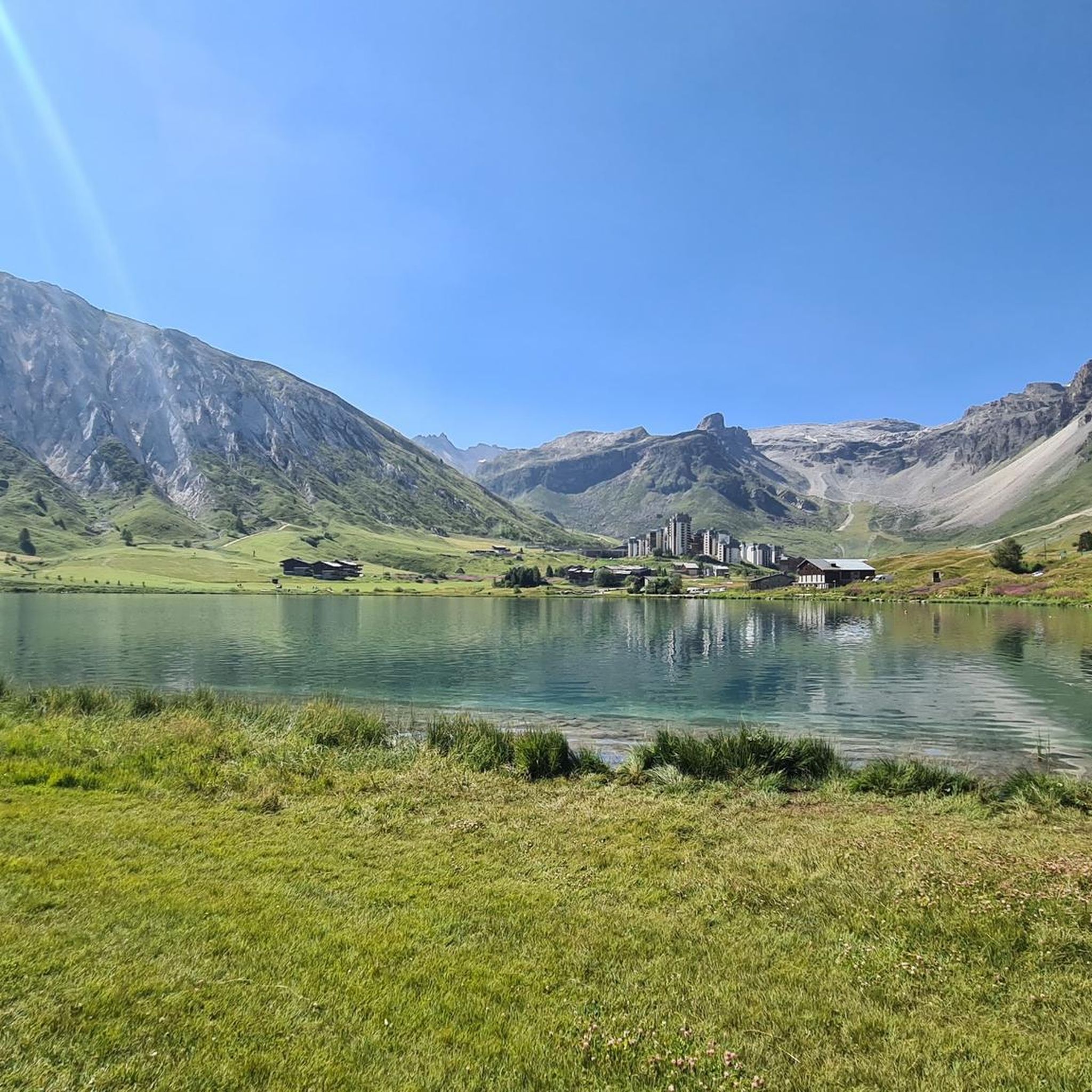
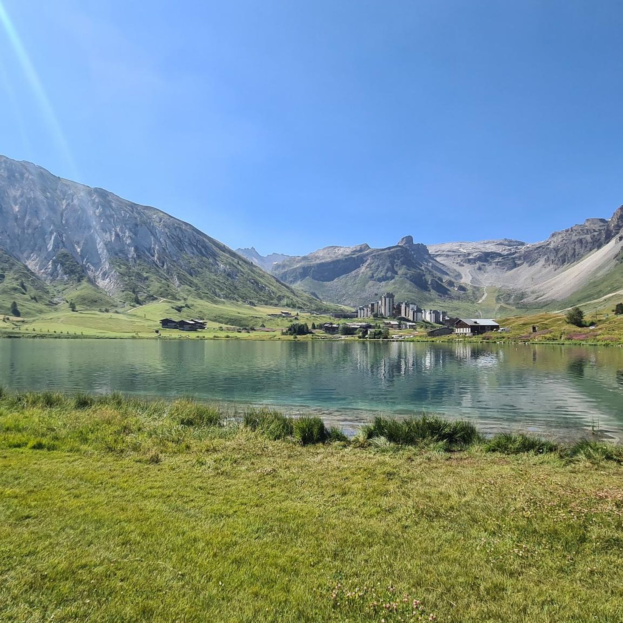
Beautiful cycle path bordering this lake
0
0

Excellent spot indeed with a very long and cool black trail to return 👌😍
0
0

Home sweet home... an exceptional playground!
0
0

https://youtu.be/mZBwtho5OI4?si=4Qwngis0fSo4LquC A lot of activity in the summer, but the lake is still beautiful, and behind the last house, magnificent nature begins, including the Vanoise National Park.
0
0

Lac du Palet is a mountain lake located at an altitude of 2,587 meters. The nearby "Refuge du Col du Palet" is a popular starting point for hikes in the region.
0
0
Grattaleu Lake is located just below a hill, behind the refuge. Overlooked by the Aiguille des Aimes and the Pointe du Chardonnet, the lake invites you to take a break before turning around to return to Tignes. Grattaleu Lake is one of the 130 high-altitude lakes in the Vanoise massif. Frozen in ice for nearly six months a year, only a few invertebrates live there.
0
0

Refueling that comes at just the right time!
0
0
Frequently Asked Questions
How many mountaineering routes are available around Lac de Tignes?
There are over 9 mountaineering routes detailed around Lac de Tignes, offering a range of experiences from moderate ascents to challenging high-mountain expeditions. These routes are highly rated by the komoot community, with an average score of 4.4 stars.
Are there routes suitable for beginners or those new to mountaineering?
While many routes around Lac de Tignes are moderate to difficult, there is at least one easier mountaineering route available. For those new to the sport, guided expeditions are highly recommended, especially when exploring high-altitude terrain or glaciers like the Grande Motte.
Can families with children enjoy mountaineering in the area?
Yes, some routes are suitable for families, particularly those with a good level of fitness. The region also offers accessible ways to experience mountain scaling, such as Via Ferrata routes, which combine climbing with hiking elements using fixed cables and ladders. Always check the specific route difficulty and duration before setting out with children.
Are there any circular mountaineering routes around Lac de Tignes?
Absolutely! Many of the mountaineering routes around Lac de Tignes are circular, allowing you to start and finish at the same point. For example, you could explore the L'Aiguille Percée loop from Tignes or the Lake Chardonnet loop from Tignes, both offering stunning alpine scenery.
What natural features or landmarks can I expect to see on these routes?
The region is rich in natural beauty. You can expect to see iconic peaks like Mont Blanc and the Grande Casse, the distinctive rock formation of the Aiguille Percée, and the turquoise waters of alpine lakes such as Lacs du Chardonnet. The Grande Motte glacier also offers unique icy landscapes, and the area borders the Vanoise National Park, a vast protected wilderness.
Are there routes that offer spectacular views?
Many routes provide breathtaking panoramic views of the French Alps. The L'Aiguille Percée loop from Tignes is particularly noted for its views of the distinctive rock formation. High-altitude routes often provide expansive vistas of the surrounding peaks and valleys.
What is the best time of year for mountaineering around Lac de Tignes?
The best time for mountaineering typically depends on the specific route and conditions. Summer offers ideal conditions for most high-altitude routes, while the Grande Motte glacier allows for year-round mountaineering and glacier hiking. Always check local weather and trail conditions before planning your trip, especially outside of peak summer months.
Is it possible to spot wildlife while mountaineering?
Yes, the area borders the Vanoise National Park, one of the largest protected areas in Western Europe. This makes it an excellent place for wildlife spotting, with animals like marmots, chamois, and ibex thriving in their natural habitat. Keep an eye out, especially in quieter, less frequented areas.
Are there any routes that feature waterfalls?
Yes, you can find routes that lead to or offer views of waterfalls. For instance, the View on the waterfall loop from Manchet Express is a challenging route specifically designed to showcase a waterfall. The region also features picturesque waterfalls like the 'Bride's Veil'.
What do other mountaineers say about the routes in Lac de Tignes?
The mountaineering routes around Lac de Tignes are highly regarded by the komoot community, with an average score of 4.4 stars from more than 6 reviews. Mountaineers often praise the dramatic alpine scenery, the diverse terrain, and the opportunities for challenging high-mountain expeditions.
Where can I park when accessing mountaineering trails?
Parking is generally available in and around Tignes, particularly near major lift stations or village centers that serve as trailheads. Specific parking information for individual routes can often be found on detailed route descriptions or local tourist information boards. It's advisable to check for designated parking areas to ensure easy access to your chosen trail.
How can I reach the trailheads using public transport?
Tignes has a local public transport system, including free shuttle buses that connect different parts of the resort. These can often provide access to various trailheads. For routes starting further afield, regional bus services might be available. It's best to consult the local Tignes transport schedule for the most up-to-date information on routes and timings to reach specific starting points.
Are permits required for mountaineering in certain areas, especially near Vanoise National Park?
While general hiking on marked trails typically doesn't require permits, certain activities or access to specific sensitive areas within or bordering the Vanoise National Park might have regulations. For high-altitude mountaineering, glacier travel, or entering designated protected zones, it's always prudent to check with the Vanoise National Park authority or local guides for any specific permit requirements or restrictions.
Most popular routes around Lac de Tignes

Get inspired with the komoot mobile app


Explore more
Browse the best Mountain Hikes & Routes in other regions.
