The best MTB trails around Lac de Rabuons
4.5
(194)
1,172
riders
24
rides
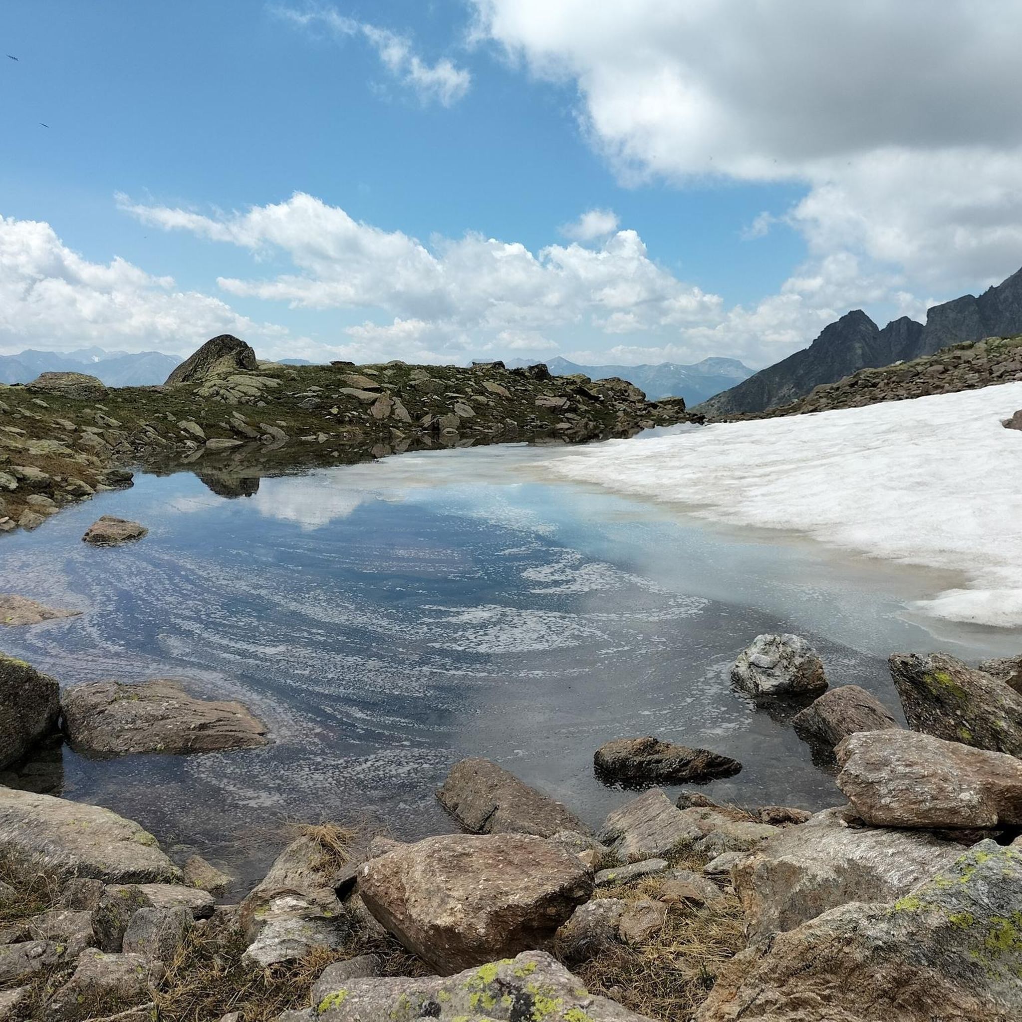
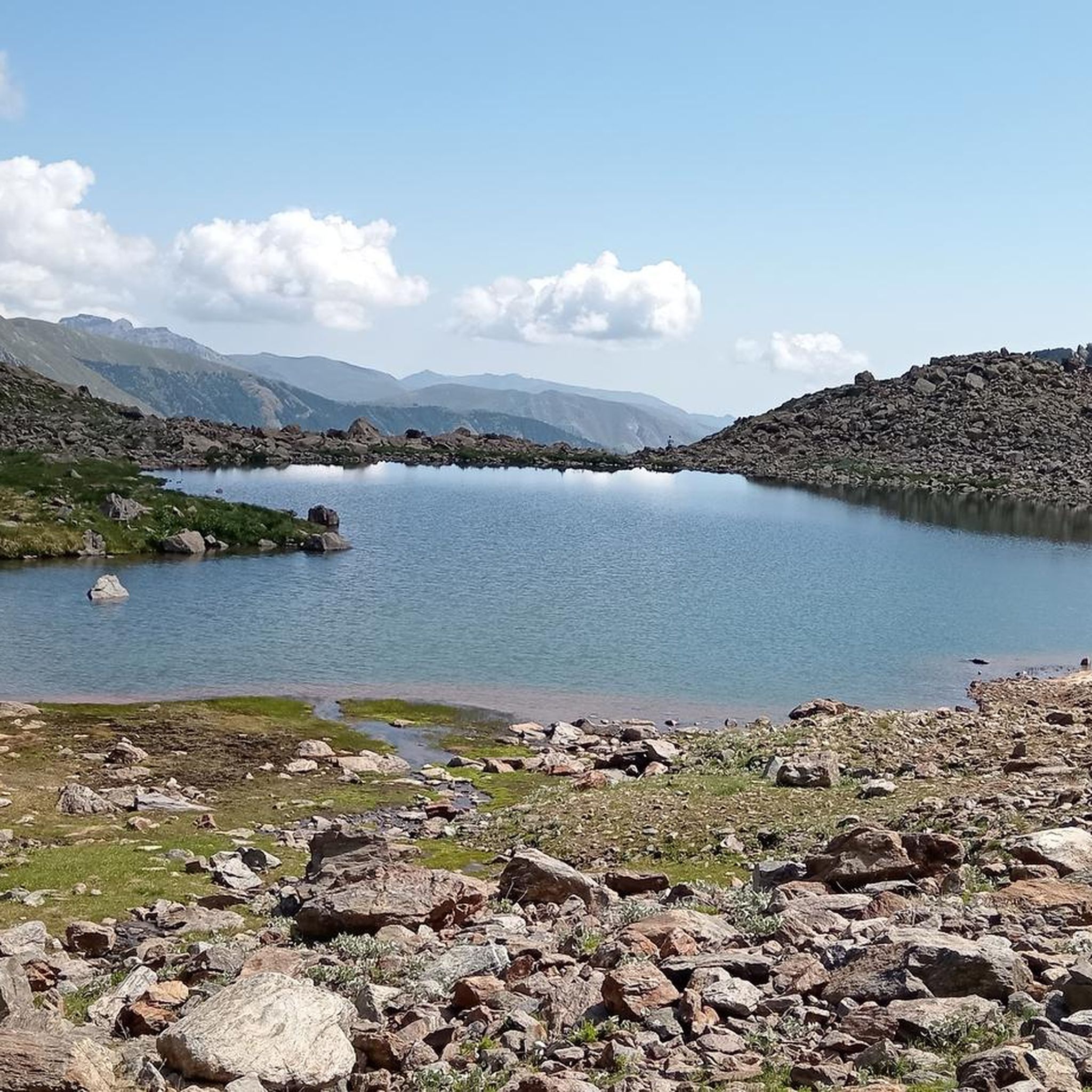
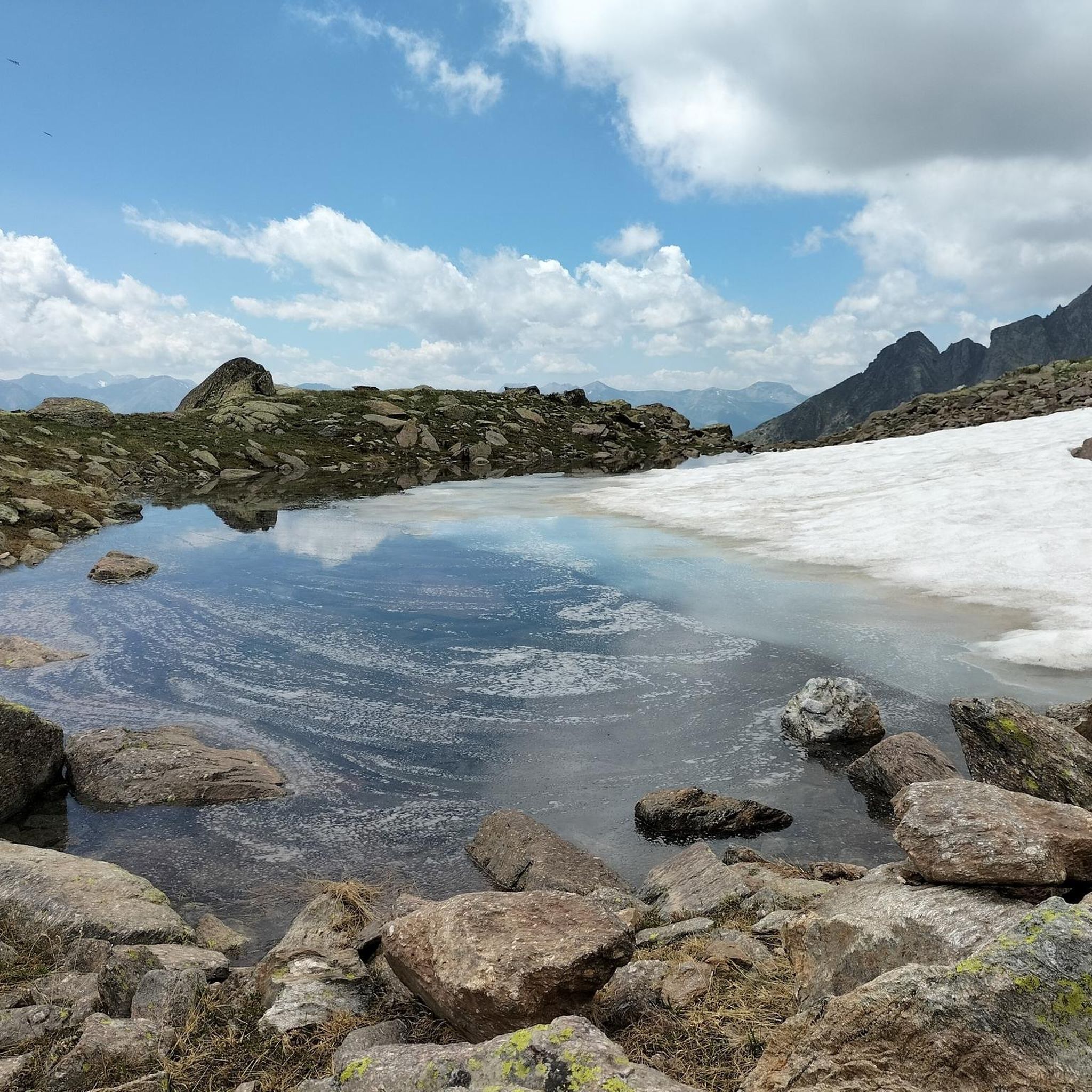
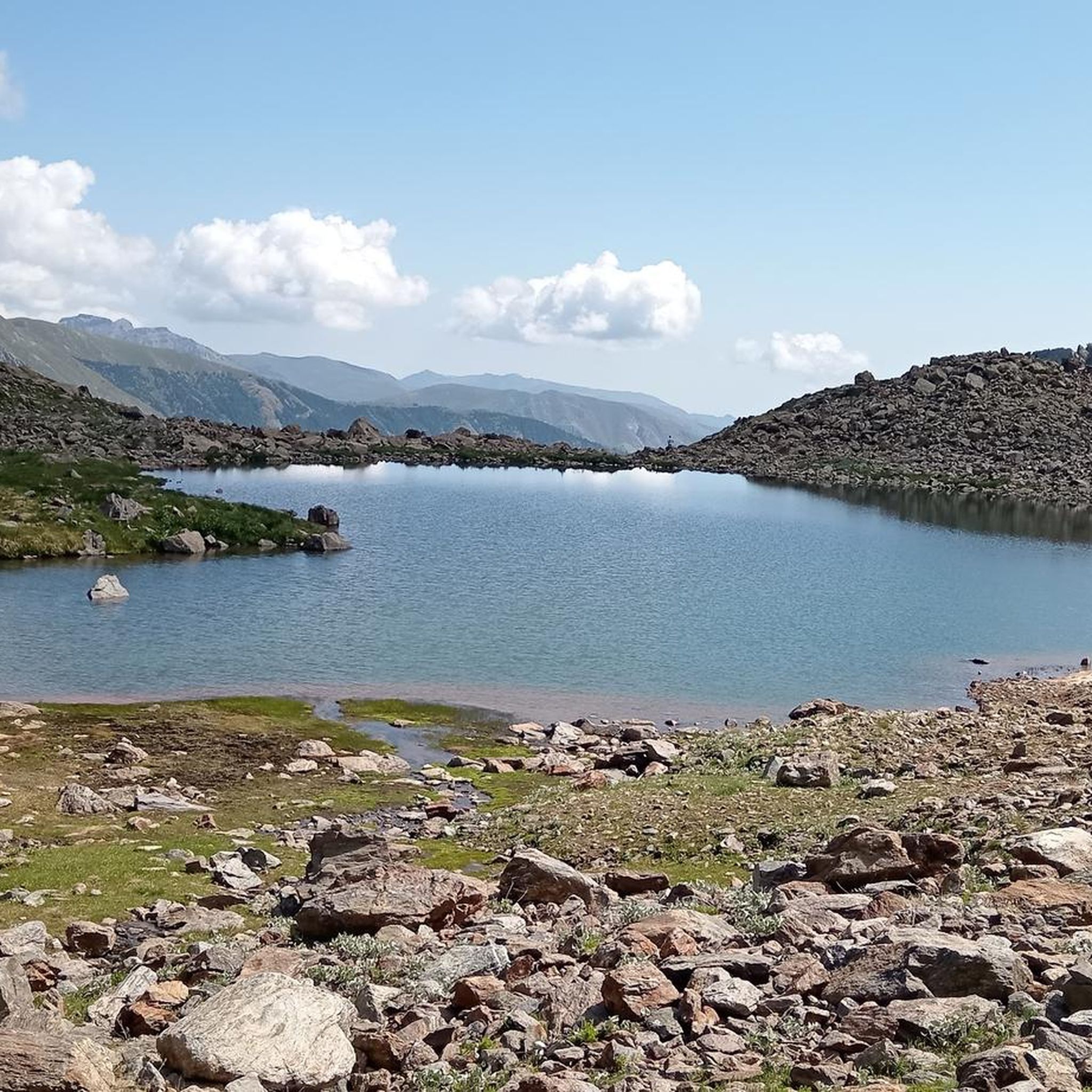
Mountain biking around Lac de Rabuons offers a diverse landscape characterized by high alpine terrain, mountain passes, and forested valleys. The region features challenging ascents and descents, with trails often traversing rocky paths and open meadows. Riders can expect varied surfaces, from gravel tracks to singletrack, providing a range of experiences for different skill levels. The area's elevation changes contribute to demanding yet rewarding mountain bike trails.
Best mountain bike trails around Lac de Rabuons
- The most popular mountain bike trail is Lac de Rabuons – Cime de la Bonette loop from Saint-Étienne-de-Tinée, a difficult 32.2 miles (51.8 km) trail that takes about 4 hours 25 minutes to complete. This route features significant elevation gain through high mountain passes.
- Another top favourite among local mountain bikers is Saint-Étienne-de-Tinée – The Demandols cow sheds loop from Auron, a difficult 23.5 miles (37.8 km) path. This trail leads through alpine pastures and offers expansive mountain views.
- Local mountain bikers also love the Estive Lake – Auron Ski Resort loop from Auron, a moderate 9.3 miles (15.0 km) trail leading through mountain scenery, often completed in about 1 hour 45 minutes.
- Mountain biking around Lac de Rabuons is defined by alpine lakes, high mountain passes, and forested slopes. The network offers options for both moderate and advanced ability levels.
- The routes in Lac de Rabuons are highly rated by the komoot community with an average score of 4.5 stars from over 190 reviews. More than 1600 mountain bikers have used komoot to explore Lac de Rabuons's varied terrain.
Last updated: October 12, 2026
5.0
(7)
56
riders
52.8km
04:31
1,690m
1,690m
Hard mountain bike ride. Very good fitness required. Suitable for all skill levels.
4.7
(28)
90
riders
15.0km
01:45
570m
560m
Moderate mountain bike ride. Good fitness required. Suitable for all skill levels.

4.6
(26)
91
riders
25.7km
03:19
1,200m
1,200m
Hard mountain bike ride. Very good fitness required. Advanced riding skills necessary. Some portions of the route may require you to push your bike.
4.5
(13)
64
riders
22.2km
02:38
900m
900m
Moderate mountain bike ride. Good fitness required. Advanced riding skills necessary.
5.0
(5)
39
riders
Hard mountain bike ride. Very good fitness required. Suitable for all skill levels.
Get access to more routes and recommendations from other explorers.
Already have an account?
Our route recommendations are based on thousands of hikes, rides, and runs completed by other people on komoot.
Start today with a free account
Your next adventure awaits.

Tips from the Community

Closed to motorized traffic
1
0
Leisurely place at the beginning of the route to Mercantour National Park
0
0

I rode up to the Col de Moutiere from Saint Etienne via Saint Dalmas, and then took the 3km of gravel road link to the Col de la Bonette. I returned to Saint Etienne via the more classic D64. It makes for a much quieter, wilder and steeper ascent, with a better (but busier) road surface and more gradual decline for the D64 descent. Also this way it's a loop and you see more of the incredible scenery. The 3km gravel section is very doable with my moutain bike (i would rate it as a 'blue'). I didnt need to carry or push the bike even though some parts were boken up by small water crossings. I was overtaken by a motorbike at one point. Be careful of the weather here, especially the potentially violent afternoon thunderstorms. There is no shelter nearby
0
0

A splendid isolated pass accessible from Saint-Dalmas-le-Selvage, it allows an off-road ascent of the Bonette, passing through the sublime valleys of Sestrière and Sagnas to the pass itself, then via a beautiful gravel track under the north side of the Cime de la Bonette which joins the departmental road towards Jausiers, about two kilometers below the summit.
0
0
If there were a ranking of the most beautiful, undiscovered Alpine passes in the cycling world, the Moutière would certainly be a contender. Starting from Saint-Dalmas-le-Selvage, the climb through the valleys of Sestrière and Sagnas is simply sublime.
1
0
One of the most beautiful ways to reach the Bonette Pass from Saint Delmas le Selvage via the Col de la Moutière. Wild and isolated, the surroundings are breathtaking. However, be prepared for a long and difficult climb.
0
0

Another way to climb to the Col de la Bonette... with added peace and quiet!
1
0

A manageable town with a small market square surrounded by bakeries, grocery stores and restaurants.
0
0
Frequently Asked Questions
How many mountain bike trails are available around Lac de Rabuons?
There are over 30 mountain bike trails around Lac de Rabuons, offering a range of experiences from moderate to difficult. The komoot community has rated these routes highly, with an average score of 4.5 stars.
Are there mountain bike trails suitable for beginners or easy rides?
While there are no trails specifically rated as 'easy,' there are 11 moderate mountain bike routes available. These still require a reasonable level of fitness and some technical skill due to the alpine terrain. An example of a moderate route is the Estive Lake – Auron Ski Resort loop from Auron.
What kind of terrain can I expect on mountain bike trails near Lac de Rabuons?
The terrain around Lac de Rabuons is characterized by high alpine landscapes, mountain passes, and forested valleys. You can expect challenging ascents and descents, with trails often traversing rocky paths, open meadows, gravel tracks, and singletrack. Significant elevation changes are common.
Are there any advanced mountain biking trails for experienced riders?
Yes, the region is well-suited for experienced riders, with 20 trails rated as difficult. These routes feature significant elevation gains and technical sections. A challenging option is the Lac de Rabuons – Cime de la Bonette loop from Saint-Étienne-de-Tinée, which covers 32.2 miles (51.8 km) with substantial climbing.
What is the best season for mountain biking around Lac de Rabuons?
The best season for mountain biking around Lac de Rabuons is typically from late spring to early autumn (June to September). During these months, snow has usually melted from higher elevations, and the weather is generally more stable. Always check local conditions and forecasts before heading out, especially in the shoulder seasons.
Are there any loop mountain bike trails in the area?
Yes, many of the mountain bike trails around Lac de Rabuons are designed as loops. For example, the Saint-Étienne-de-Tinée – The Demandols cow sheds loop from Auron offers a 23.5-mile (37.8 km) challenging loop through alpine pastures.
Are there mountain bike trails with good viewpoints?
Given the high alpine nature of the region, many trails offer expansive mountain views and scenic viewpoints. Routes that traverse mountain passes or open meadows, such as the Saint-Étienne-de-Tinée – The Demandols cow sheds loop from Auron, are likely to provide stunning vistas.
Is there parking available for mountain bikers near the trailheads?
Parking is generally available in the main villages and ski resorts that serve as starting points for many trails, such as Saint-Étienne-de-Tinée and Auron. Specific parking information for individual trailheads may vary, so it's advisable to check local signage upon arrival.
Can I reach mountain bike trails around Lac de Rabuons using public transport?
Public transport options to reach the trailheads around Lac de Rabuons are limited, especially for accessing more remote starting points. Some bus services may connect larger towns like Saint-Étienne-de-Tinée, but direct access to many mountain bike trails often requires personal vehicle transport.
What do other mountain bikers enjoy most about mountain biking in Lac de Rabuons?
The area is highly rated by the komoot community, with an average score of 4.5 stars from over 190 reviews. Reviewers often praise the challenging alpine terrain, the stunning mountain scenery, and the diverse range of trails that cater to different skill levels.
Are there any mountain bike trails that pass by cafes or places to refuel?
Trails starting or passing through villages and ski resorts like Auron or Saint-Étienne-de-Tinée will have access to cafes and restaurants. For example, the Saint-Étienne-de-Tinée – Auron Ski Resort loop from Saint-Étienne-de-Tinée connects these two locations, offering opportunities for refreshments.
Are there any family-friendly mountain bike routes around Lac de Rabuons?
Given the predominantly moderate to difficult rating of trails in this high alpine region, dedicated family-friendly mountain bike routes suitable for young children are limited. The moderate trails may be suitable for families with older, experienced teenage riders, but caution is advised due to elevation changes and technical sections.
Most popular routes around Lac de Rabuons

Get inspired with the komoot mobile app


Explore more
Browse the best MTB trails in other regions.
