The best cycling routes around Étang des Aulnes
4.1
(82)
648
riders
27
rides
Touring cycling routes around Étang des Aulnes traverse the flat Plaine de la Crau, situated between the Rhône, the Alpilles massif, and the Etang de Berre. The region features diverse landscapes including fields, forests, marshes, and olive groves, with a significant body of water at its center. To the north, the landscape transitions into hills, while the south includes the unique "coussouls" or Crau steppe habitat. This varied terrain offers a range of experiences for touring cyclists.
Best touring cycling…
Last updated: August 24, 2026
4.0
(10)
53
riders
Moderate bike ride. Good fitness required. Mostly paved surfaces. Suitable for all skill levels.
3.0
(1)
8
riders
119km
06:57
130m
130m
Hard bike ride. Very good fitness required. Mostly paved surfaces. Suitable for all skill levels.

Sign up for free
4.5
(2)
13
riders
Moderate bike ride. Good fitness required. Mostly paved surfaces. Suitable for all skill levels.
5.0
(3)
19
riders
154km
08:49
180m
180m
Hard bike ride. Very good fitness required. Mostly paved surfaces. Suitable for all skill levels.
4.0
(2)
21
riders
Moderate bike ride. Good fitness required. Mostly paved surfaces. Suitable for all skill levels.
Get access to more routes and recommendations from other explorers.
Sign up for free
Already have an account?
Our route recommendations are based on thousands of hikes, rides, and runs completed by other people on komoot.
Start today with a free account
Your next adventure awaits.
Login or Signup
Popular around Étang des Aulnes
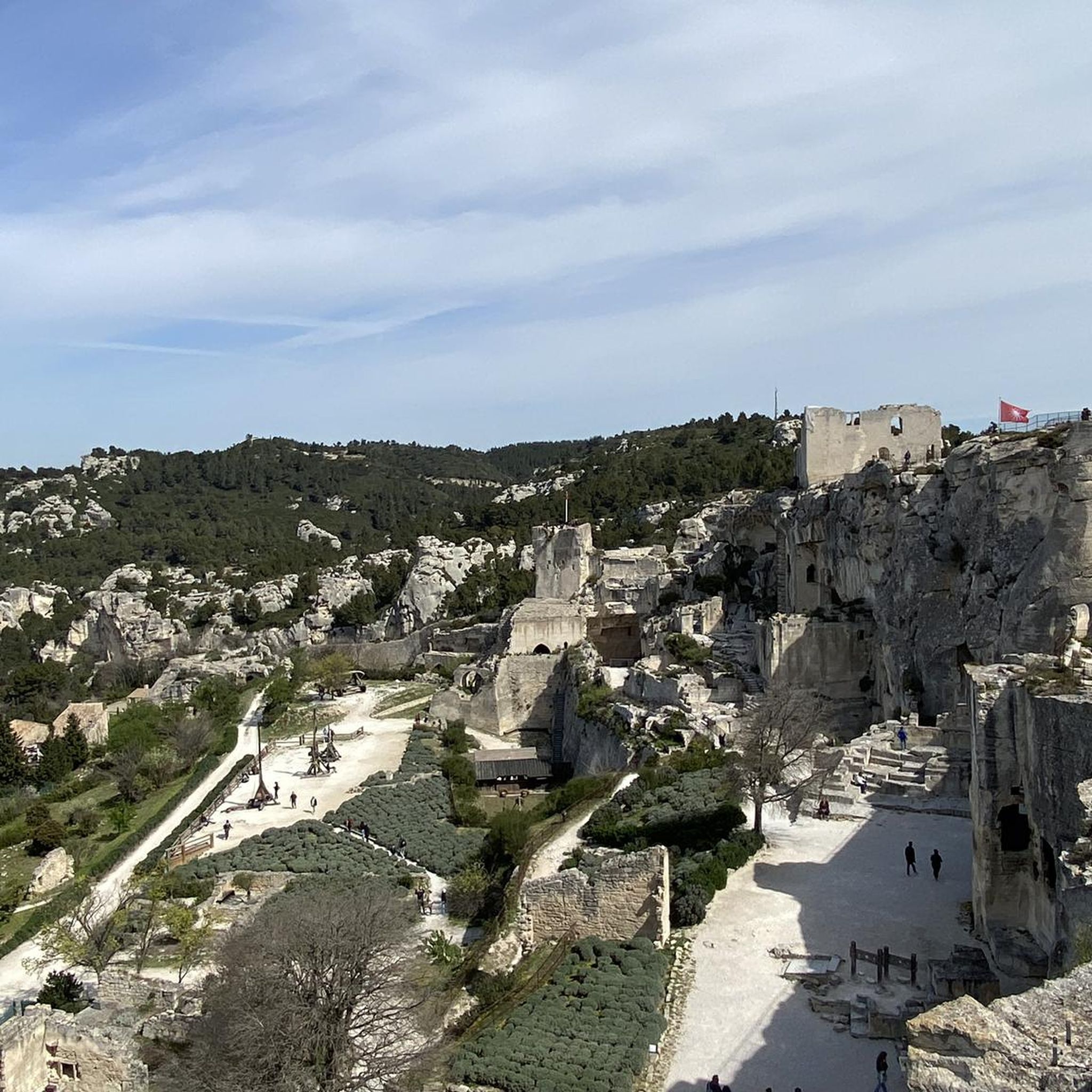
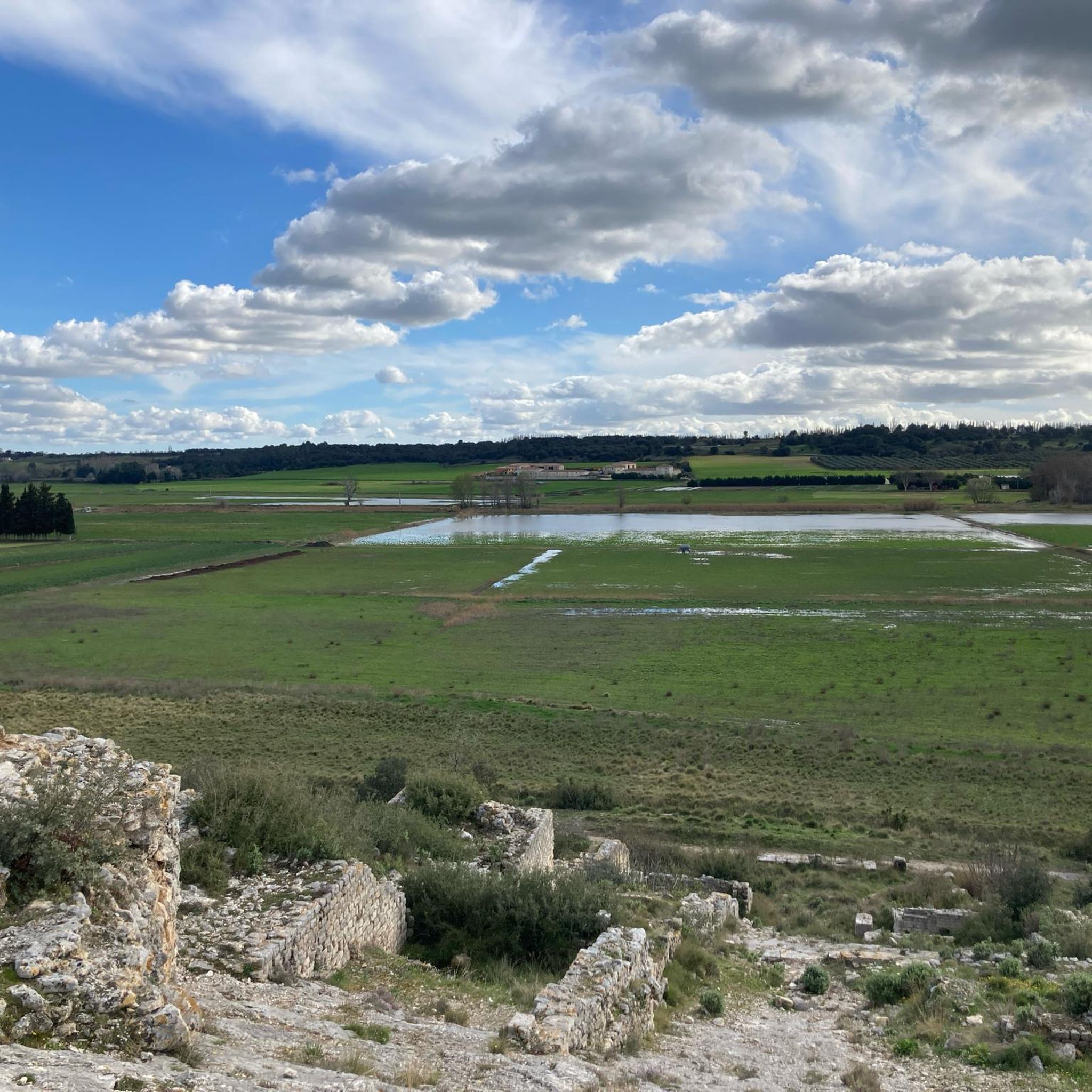

Tips from the Community

Pretty here, very pretty.
0
0

It is best to go very early in the morning to observe the flamingos, they are near the edge next to the cycle path; at this time they are not yet disturbed by visitors, the photos will only be better
0
0

In itself a beautiful cycle path with great views of the sea and salt lagoons with seabirds and flamingos. We were travelling with a children's bike trailer and had to turn back halfway. Again and again deep sandy, long pushing sections, not suitable for bike trailers with children or dogs. A great pity that the department no longer markets, maintains and adequately signs the cycle paths. We had great difficulty finding the start of the circular route near Saintes-Maries-de-la-Mer. I think if the cycle paths were better maintained and signposted with numbers and symbols, for example like in Holland where sandy sections are secured with wooden planks/boards to make them rideable, more would also be done for cycling nature lovers. Recommended for us as a family with small children only with limitations.
0
0

Top! Pay attention to the wind direction ;-)
0
0

A straight track, not necessarily the most fun on a bike, but the scenery is relatively nice.
0
0

The tour is highly recommended. Almost the entire route is a cycle path, and at the end, the reward is the Mediterranean Sea.
0
0

This road runs between olive groves and poppy fields and offers beautiful views.
0
0
Frequently Asked Questions
What kind of terrain can I expect on touring cycling routes around Étang des Aulnes?
The touring cycling routes around Étang des Aulnes primarily traverse the flat Plaine de la Crau, offering a mix of fields, forests, marshes, and extensive olive groves. While generally flat, some routes to the north transition into gentle hills, and others feature significant climbs, such as the difficult Figuière Pass – View of Les Baux-de-Provence loop from Saint-Martin-de-Crau, which includes over 875 meters of elevation gain.
Are there any easy touring cycling routes suitable for beginners or a relaxed ride?
Yes, Étang des Aulnes offers several easy touring cycling routes. Out of the 31 available routes, 8 are classified as easy. While specific easy routes aren't detailed in the top recommendations, you can find options that allow for a more leisurely pace, often circling the pond itself or exploring the flatter sections of the Plaine de la Crau.
What cultural or natural landmarks can I see along the cycling routes?
The region offers a blend of natural beauty and cultural heritage. You can explore historical sites like the Barbegal Roman Aqueducts on the Le Paradou Village Center – Barbegal Roman Aqueducts loop from Saint-Martin-de-Crau. Another route, the Van Gogh Bridge – Saint-Trophime Cathedral loop from Saint-Martin-de-Crau, takes you past significant cultural landmarks. The area is also known for its unique 'coussouls' or Crau steppe habitat to the south, and the Étang des Aulnes itself is a crucial refuge for migratory birds.
Are there any circular touring cycling routes around Étang des Aulnes?
Many of the touring cycling routes in the Étang des Aulnes area are designed as loops, allowing you to start and finish at the same point. Examples include the Le Paradou Village Center – Barbegal Roman Aqueducts loop from Saint-Martin-de-Crau and the Camargue Salt Flats – Bataiyolles Pond loop from Saint-Martin-de-Crau. These circular routes provide convenient options for exploring the diverse landscapes.
What is the best time of year to go touring cycling in Étang des Aulnes?
The region's climate makes it suitable for cycling for much of the year. Spring and autumn generally offer the most pleasant temperatures for touring cycling, avoiding the intense heat of summer. These seasons also provide opportunities for birdwatching, especially along the wilder banks of the Étang des Aulnes, which is a crucial refuge for migratory birds.
Are there any family-friendly touring cycling options?
While specific family-friendly touring cycling routes are not highlighted in the top recommendations, the presence of 8 easy routes suggests there are options suitable for families. The general flat terrain of the Plaine de la Crau and the accessible 6.7 km walk around the pond (which traverses fields, forests, marshes, and olive groves with picnic tables) indicate that less challenging routes can be found for a family outing.
What do other touring cyclists say about the routes in Étang des Aulnes?
The touring cycling routes in Étang des Aulnes are highly rated by the komoot community, with an average score of 4.0 stars from over 60 reviews. Cyclists often praise the varied terrain, from flat plains to gentle hills, and the opportunities to explore local villages, historical sites, and unique natural landscapes like the Camargue salt flats.
Are there places to stop for a picnic or rest along the routes?
Yes, the Étang des Aulnes area is designed to welcome the public, and you'll find convenient picnic tables, especially along the 6.7 km walk around the pond. Many routes pass through or near villages where you can find amenities. The overall property also features numerous picnic areas for visitors to relax and enjoy the scenic surroundings.
Can I access the touring cycling routes by public transport?
The guide primarily focuses on routes starting from Saint-Martin-de-Crau. While specific public transport links to the trailheads are not detailed, Saint-Martin-de-Crau is a town that may have public transport connections. For detailed information on reaching the starting points by public transport, it is advisable to check local transport schedules for the Saint-Martin-de-Crau area.
Is there parking available near the touring cycling routes?
While specific parking locations for each route are not listed, the region is generally accessible. Given that many routes start from Saint-Martin-de-Crau, it is reasonable to expect parking facilities within or near the town center or at common starting points for outdoor activities. The entire property of Étang des Aulnes is designed to welcome the public, suggesting visitor amenities like parking are available.
Are there any particularly long or challenging touring cycling routes for experienced cyclists?
Yes, for experienced touring cyclists seeking a challenge, there are difficult routes available. The Camargue Salt Flats – Bataiyolles Pond loop from Saint-Martin-de-Crau is a difficult 118.6 km path offering extensive views. Another demanding option is the Figuière Pass – View of Les Baux-de-Provence loop from Saint-Martin-de-Crau, which covers 83 km and includes significant elevation changes.
What kind of wildlife can I expect to see while cycling around Étang des Aulnes?
Étang des Aulnes is known for its exceptional biodiversity, particularly as a crucial refuge for migratory birds along its wilder, undeveloped banks. The ecosystem of the pond is managed to maintain healthy reed beds, supporting remarkable fauna. Beyond the immediate pond, the landscape includes marshes and the unique 'coussouls' or Crau steppe habitat, which are home to diverse wildlife.

Get inspired with the komoot mobile app


Explore more
Browse the best Cycling routes in other regions.
