The best mountain hikes around Zalew Bukówka
4.9
(33)
211
hikers
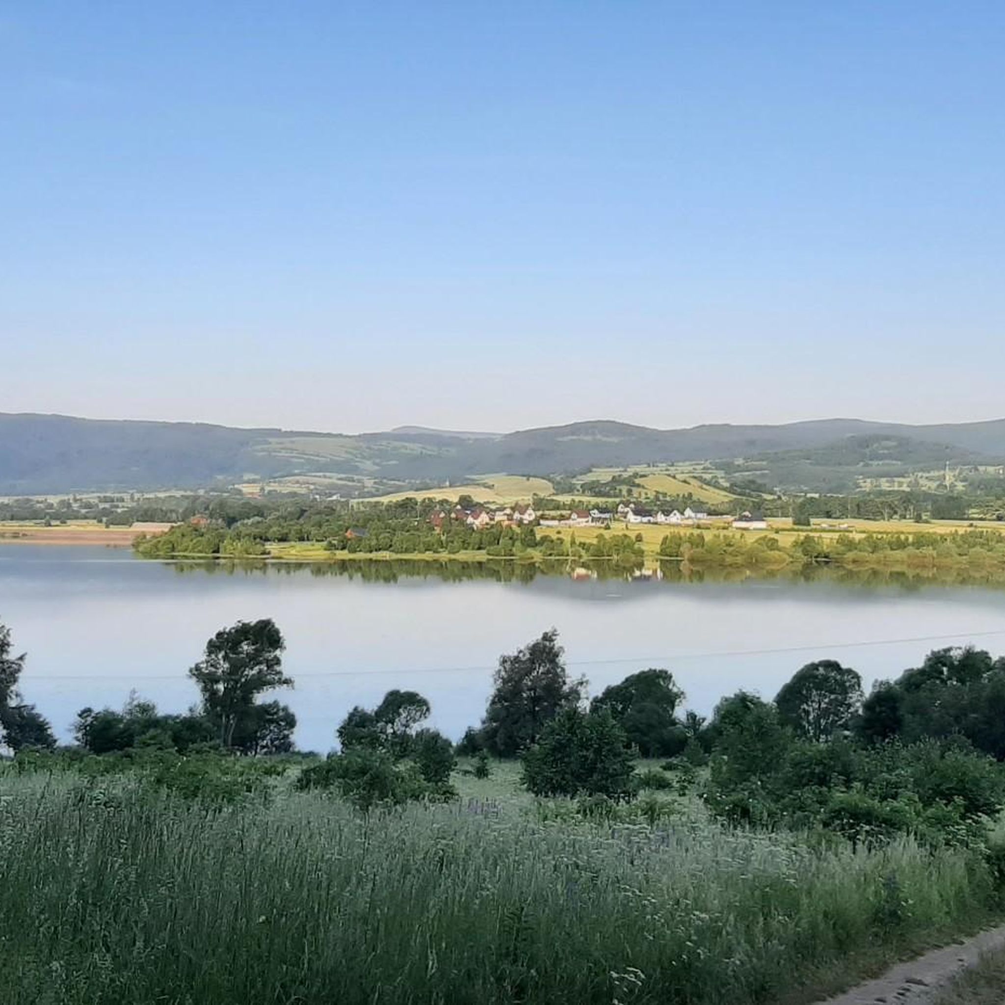
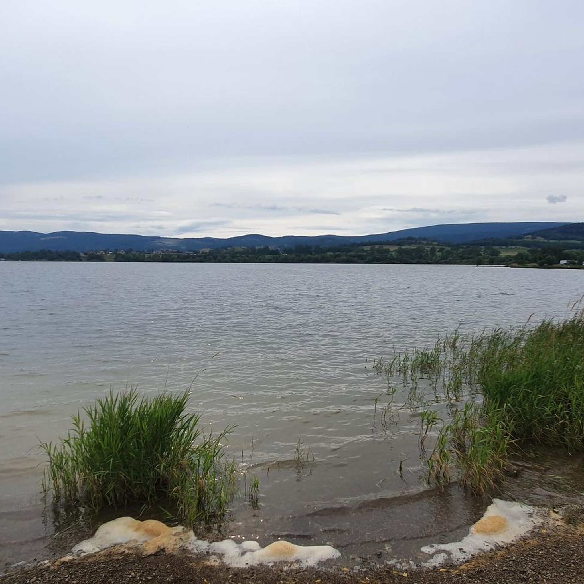
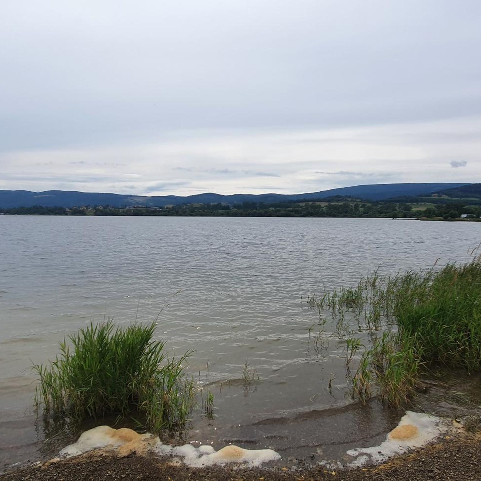
Mountaineering around Zalew Bukówka offers diverse routes within the Sudetes mountain range, providing access to the Karkonosze Mountains. The region features varied landscapes, including the large artificial reservoir and surrounding peaks. Trails range from easier paths to more challenging ascents, catering to different skill levels. The area is characterized by mountainous terrain, scenic viewpoints, and a blend of water-based and mountain adventures.
Best mountaineering routes around Zalew Bukówka
- The most popular mountaineering route is Ostra Mała Viewpoint – View from Ostra Mala loop from Czarnów, an easy 3.1 miles (5.0 km) trail that takes 1 hour 35 minutes to complete. This route offers views from Ostra Mała.
- Another top favourite among local mountaineers is Skalny Stół Peak – Śnieżka (Schneekoppe) Summit loop from Pomezní boudy, a difficult 9.5 miles (15.4 km) path. This route leads to Śnieżka, the highest peak in the Karkonosze Mountains.
- Local mountaineers also love the Skalny Stół Peak – Jelenka Mountain Hut loop from Pomezní boudy, a 5.2 miles (8.4 km) trail leading through mountainous terrain, often completed in about 2 hours 43 minutes.
- Mountaineering around Zalew Bukówka is defined by mountainous surroundings, panoramic viewpoints, and diverse trails. The network offers options for different ability levels, from moderate ascents to difficult summit routes.
- The routes in Zalew Bukówka are highly rated by the komoot community with an average score of 4.9 stars from over 33 reviews. More than 210 mountaineers have used komoot to explore Zalew Bukówka's varied terrain.
Last updated: May 20, 2026
4.8
(9)
72
hikers
5.02km
01:36
210m
210m
Easy mountaineering route. Great for any fitness level. Easily-accessible paths. Suitable for all skill levels.
4.8
(12)
68
hikers
15.4km
05:14
760m
760m
Hard mountaineering route. Very good fitness required. Easily-accessible paths. Suitable for all skill levels.

Sign up for free
5.0
(8)
52
hikers
Moderate mountaineering route. Good fitness required. Easily-accessible paths. Suitable for all skill levels.
5.0
(2)
11
hikers
8.54km
02:45
350m
350m
Moderate mountaineering route. Good fitness required. Easily-accessible paths. Suitable for all skill levels.
5.0
(2)
7
hikers
7.35km
02:17
280m
280m
Moderate mountaineering route. Good fitness required. Easily-accessible paths. Suitable for all skill levels.
Our route recommendations are based on thousands of hikes, rides, and runs completed by other people on komoot.
Start today with a free account
Your next adventure awaits.
Login or Signup

Tips from the Community


It's worth taking a rest before continuing your journey
0
0

A wonderful view of the eastern Karkonosze Mountains - a viewpoint not advertised anywhere, but still something beautiful.
0
0
From here the views of Śnieżka are simply divine. The gods of Olympus have descended to earth! The Rock Table (1281m) is the highest point on the Kowarski Grzbiet. Its name refers to the rocks here, which look like benches. Śnieżka is visible behind Czarny Grzbiet, and from here we can also see Kocioł Łomniczka, Kotlina Jeleniogórska and Rudawy Janowickie.
2
0
Fantastic view east towards Wałbrzych and further just north of Graniczne Budy. Beautiful panorama in almost any weather.
0
0
There are no views from Skalnik, which is in the forest, but there are views here, and they are great! You are here at an altitude of 945 m. Some say that from here there is the most beautiful panorama in the entire Sudetes!
1
0
Interesting rocks! - not far from Skalnik and Ostra Mała. And with an equally interesting name! I don't expect to find the Apocalypse riders here, but just a good place to relax in the forest in the company of natural wonders...
1
0
It is the highest peak in Rudy Janowickie, at 945m, but unfortunately it is located in the forest, so there are no views. Nearby is Ostra Mała - from which there are views. Nevertheless, if you are here, you have been or have been to the highest peak here, and that counts!
0
0
Frequently Asked Questions
What kind of mountaineering routes can I expect around Zalew Bukówka?
The region around Zalew Bukówka, nestled in the Sudetes and near the Karkonosze Mountains, offers a diverse range of mountaineering routes. You'll find everything from easier walks with scenic views to more challenging ascents, including trails leading to prominent peaks like Śnieżka (Schneekoppe). The landscape combines mountainous terrain with the unique presence of the large artificial reservoir.
Are there any easy mountaineering routes suitable for beginners or a relaxed day out?
Yes, there are routes perfect for those seeking a less strenuous experience. For example, the Ostra Mała Viewpoint – View from Ostra Mala loop from Czarnów is an easy 5 km trail that typically takes under two hours to complete, offering lovely views from Ostra Mała.
What are some challenging mountaineering routes for experienced hikers?
For experienced mountaineers, the area provides demanding trails. Consider the Skalny Stół Peak – Śnieżka (Schneekoppe) Summit loop from Pomezní boudy, a difficult 15.4 km route that leads to Śnieżka, the highest peak in the Karkonosze Mountains. This route offers significant elevation gain and takes several hours to complete.
Are there any circular mountaineering routes around Zalew Bukówka?
Many of the mountaineering routes in the area are designed as loops, allowing you to start and end at the same point. Examples include the Ostra Mała Viewpoint loop, the Skalny Stół Peak – Śnieżka Summit loop, and the Sowia Pass loop from Pomezní boudy, which is a moderate 7.35 km option.
What are the typical durations for mountaineering routes in this region?
The duration varies significantly depending on the route's length and difficulty. Easier trails like the Ostra Mała Viewpoint loop can be completed in about 1 hour 35 minutes. More challenging routes, such as the Jelenka Mountain Hut – Śnieżka (Schneekoppe) Summit loop, can take around 4 hours 44 minutes, while the most difficult ascents may require over 5 hours.
What are some notable viewpoints or scenic spots along the mountaineering trails?
The region is rich in panoramic viewpoints. The dam of Zalew Bukówka itself offers incredible vistas of the lake. Stróża Hill (683 m n.p.m.) is another excellent spot for observing the reservoir and surrounding forests. Distant views of Zalew Bukówka can also be admired from trails leading towards Śnieżka from Przełęcz Okraj.
What do other mountaineers say about the routes around Zalew Bukówka?
The mountaineering routes around Zalew Bukówka are highly regarded by the komoot community, with an average rating of 4.9 stars from over 33 reviews. Users frequently praise the diverse terrain, the stunning mountainous surroundings, and the panoramic viewpoints that make each tour a rewarding experience.
Are there any routes that pass by mountain huts or offer opportunities for a break?
Yes, some routes incorporate mountain huts, providing convenient spots for rest and refreshments. For instance, the Skalny Stół Peak – Jelenka Mountain Hut loop from Pomezní boudy includes the Jelenka Mountain Hut, making it a good option for a longer day out with a planned stop.
What is the best time of year for mountaineering in the Zalew Bukówka area?
The Sudetes, including the Karkonosze Mountains, are generally accessible for mountaineering from late spring through early autumn. During these months, the weather is typically more stable, and trails are clear of snow, offering the best conditions for enjoying the diverse landscapes and panoramic views. Always check local weather forecasts before heading out.
Are there any specific peaks or significant landmarks I can reach on these routes?
Absolutely. A major highlight is Śnieżka (Schneekoppe), the highest peak in the Karkonosze Mountains. Routes like the Skalny Stół Peak – Śnieżka (Schneekoppe) Summit loop will take you to this iconic summit, offering breathtaking views from the top.
How many mountaineering routes are available in the Zalew Bukówka region?
There are several dedicated mountaineering routes around Zalew Bukówka, offering a variety of experiences. Currently, you can explore at least 5 distinct mountaineering tours in this beautiful region.
Most popular routes around Zalew Bukówka

Get inspired with the komoot mobile app


Explore more
Browse the best Mountain Hikes & Routes in other regions.
