The best walks and hikes around Powerstock
4.6
(968)
6,818
hikers
17
hikes
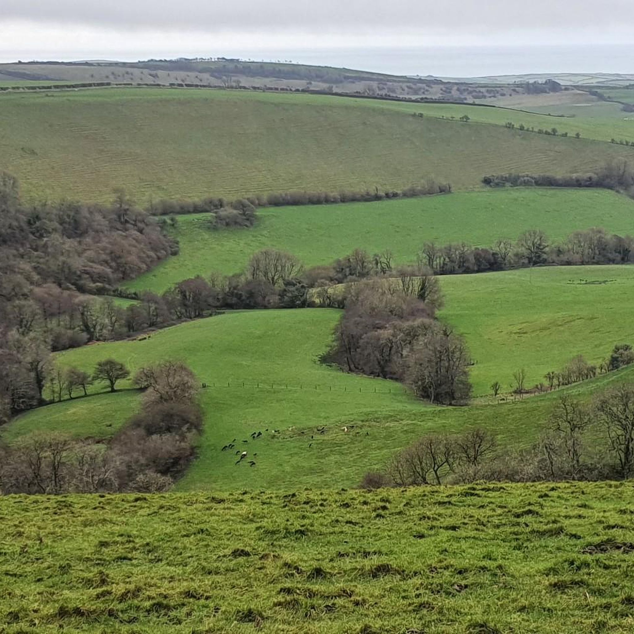
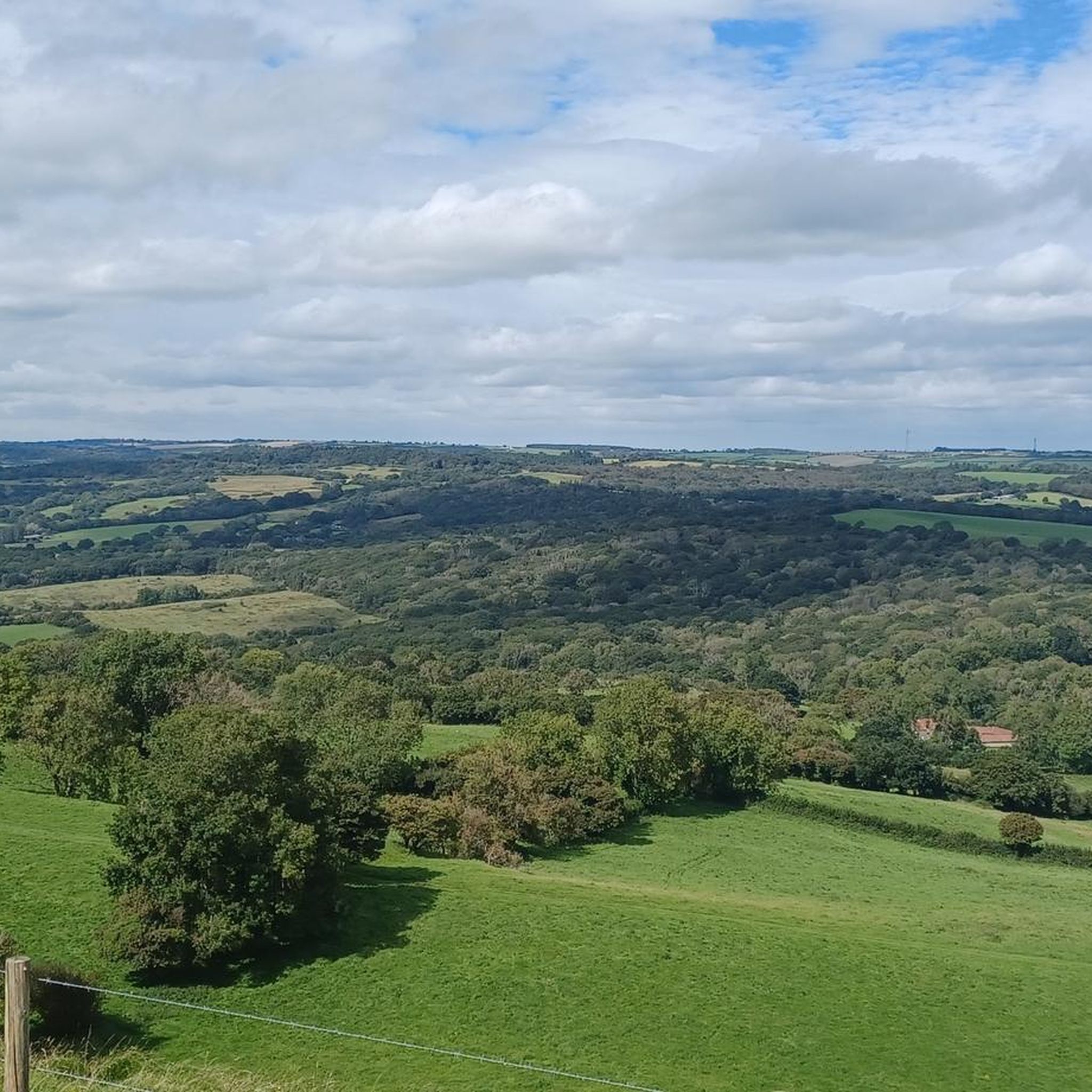
Hiking around Powerstock offers diverse trails through a landscape characterized by rolling greensand and limestone hills, interspersed with deep, branching clay valleys. The region features significant woodland cover, including ancient woodlands and small copses, alongside open grasslands and heathland. Conical hills, such as Eggardon Hill, provide prominent landmarks and expansive views across the West Dorset countryside. This varied terrain supports a rich biodiversity and provides a range of natural features for outdoor exploration.
Best hiking trails around Powerstock
- The most popular hiking route is Eggardon Hill Circular Walk, a 3.5 miles (5.6 km) trail that takes 1 hour 40 minutes to complete. This easy route offers views of the surrounding hills and countryside.
- Another top favourite among local hikers is Askerswell & Eggardon Hill loop from Powerstock — Dorset, a moderate 9.2 miles (14.7 km) path. This route includes climbs to Eggardon Hill, providing panoramic vistas.
- Local hikers also love the Eggardon Hill West Loop – View from Eggardon Hill loop from Powerstock, a 6.8 miles (10.9 km) trail leading through varied terrain around Eggardon Hill, often completed in about 3 hours 7 minutes.
- Hiking around Powerstock is defined by rolling hills, deep valleys, and ancient woodlands, including sections along a disused railway line. The network offers options for different ability levels, from easy strolls to more challenging ascents.
- The routes in Powerstock are highly rated by the komoot community with an average score of 4.6 stars from over 280 reviews. More than 3000 hikers have used komoot to explore Powerstock's varied terrain.
Last updated: May 10, 2026
4.0
(7)
27
hikers
5.58km
01:37
150m
150m
Embark on the Eggardon Hill Circular Walk, an easy hiking route spanning 3.5 miles (5.6 km) with an elevation gain of 494 feet (150 metres). You can expect to complete this loop in about 1 hour and 37 minutes. As you hike, you will experience diverse terrain, moving through lush meadows and chalky downland. The highlight is reaching the summit of Eggardon Hill, where panoramic views stretch across the Dorset countryside. On a clear day, you can spot the Jurassic Coast, Bridport, and even the English Channel. The trail also guides you past the distinctive ramparts of an Iron Age hillfort, adding a historical touch to your journey. Keep an eye out for buzzards circling above.
Accessing the start of the Eggardon Hill Circular Walk is straightforward, with parking generally available near the trailhead. The route follows a mix of field tracks, bridleways, and country lanes. Be prepared for varied conditions; some paths might be overgrown with nettles and brambles, particularly in late summer. Additionally, valley bottoms can become marshy after rainfall, so appropriate footwear is advisable. This popular Dorset walk is accessible for most, making it a great choice for a leisurely outing.
This trail offers a unique opportunity to explore one of Dorset's most prominent Iron Age hillforts. Eggardon Hill is not just a viewpoint; it is a significant historical landmark with a rich past. The distinctive ramparts you encounter are remnants of ancient fortifications, inviting you to imagine life centuries ago. This blend of natural beauty and historical intrigue makes the route a notable feature in the region, providing more than just a scenic walk.
4.7
(3)
6
hikers
14.7km
04:05
270m
270m
Moderate hike. Good fitness required. Easily-accessible paths. Suitable for all skill levels.

Sign up for free
4.3
(4)
15
hikers
Moderate hike. Good fitness required. Easily-accessible paths. Suitable for all skill levels.
4.4
(5)
16
hikers
Moderate hike. Good fitness required. Easily-accessible paths. Suitable for all skill levels.
4.0
(1)
9
hikers
Moderate hike. Good fitness required. Easily-accessible paths. Suitable for all skill levels.
Get access to more routes and recommendations from other explorers.
Sign up for free
Already have an account?
Our route recommendations are based on thousands of hikes, rides, and runs completed by other people on komoot.
Start today with a free account
Your next adventure awaits.
Login or Signup


Other adventures around Powerstock

Tips from the Community

Be careful here. The bridge is collapsing.
1
0
Mon - closed Tues-Thurs: 5-9 Fri - 12-2, 5-9 Sat - 12-9 Sun - 12-5 Tuesday to Saturday their daily changing menu features seasonal favourites and sharing plates plus specials from their smoker, fire pit and pizza oven. On Sundays they offer a traditional roast with meats from local butchers with lighter options including salads & sharing plates. Their delicious desserts feature classics such as Dorset apple cake and Eton Mess plus specials including their caramelised apple pavlova with burnt toffee sauce. They work with local suppliers and smoke all their our own meats. Has a beautiful outdoors seating area and beer garden.
0
0
The top of Eggardon Hill...... Not that you can tell by the pic. Bad conditions this day made for poor viewing.
0
0
The church dates from Norman times and the chancel arch is of Early Norman architecture. Outside is a very rare thirteenth century Dole Table, from pre-Reformation times when charitable doles of bread were distributed to the poor. Inside the south entrance is a fifteenth century carving of a king and crowned woman giving bread to children. The north and south aisle date from the fourteenth century, and there are two hagioscopes (squints) on the southern side of the chancel arch, which would have given a view of the high alter. Above the squints there is a fifteenth century doorway, which when reached by a wooden stair, would have led to the roof loft. The south doorway within the porch is also fifteenth century and features elaborate carving.
1
0
Farmer has been doing a bit of landscaping to this section. Logs have been moved to the side and are behind an electric fence.
0
0
Eggardon Hill is a prehistoric hillfort, and sits at 827ft above sea level. The hill provides extensive views of the surrounding countryside and the English Channel to the south. The southern half of the hill is owned and maintained by The National Trust (which permits free public access throughout the year) with the northern part in private ownership. The large multivallate hillfort dates from the Iron Age. The surviving earthworks enclose an area of approximately 21ha in total. The defences consist of three ramparts with two medial ditches with additional outer banks to the north-west and east. Ditches and counterscarp banks provide additional protection at the staggered entrances and to the south west where there is an additional outwork. classified as a Hump (hill of any height with a drop of 100 metres or more on all sides)
1
0

There are a couple of logs just to the left of this shot which makes a good stop off point
0
0

This footpath to the west of Eggardon hill creates a nice short loop from the car park at the top of the hill. The walking is along a grassy path across fields, down the steep bank which forms the front face of the hill and back up to the hill via south Eggerdon Farm & North Eggerdon Farm.
1
0
Frequently Asked Questions
What types of hiking trails can I find around Powerstock?
Powerstock offers a diverse range of hiking trails, characterized by rolling greensand and limestone hills, deep clay valleys, and significant woodland cover. You'll find everything from easy strolls through ancient woodlands and along a disused railway line to more challenging ascents up conical hills like Eggardon Hill, providing varied terrain for all abilities.
Are there any easy hiking routes suitable for beginners or families in Powerstock?
Yes, Powerstock has several easy routes. For example, the Eggardon Hill Circular Walk is an easy 3.5-mile (5.6 km) trail that takes about 1 hour 40 minutes to complete, offering pleasant views. Powerstock Common also features relatively level paths along a disused railway line, which are great for a relaxed walk.
What are some notable natural features or viewpoints to look out for on Powerstock hikes?
The area is rich in natural beauty. Powerstock Common, part of the Kingcombe National Nature Reserve, features ancient woodlands, secret ponds, and heathland. Many routes lead to prominent viewpoints, especially from conical hills like Eggardon Hill, which offers panoramic vistas across the West Dorset countryside. You can also find highlights like Pilsdon Pen Summit and Trig Point and Doghouse Hill nearby.
Are there any circular hiking routes in Powerstock?
Yes, many of the trails around Powerstock are circular, allowing you to start and end in the same location. A popular option is the Eggardon Hill Circular Walk. Another moderate circular route is the Eggardon Hill West Loop – View from Eggardon Hill loop from Powerstock, which covers about 6.8 miles (10.9 km) through varied terrain.
Can I bring my dog on the hiking trails in Powerstock?
Generally, Powerstock's trails are dog-friendly, offering plenty of open spaces and woodland paths for your canine companion. However, as many routes pass through nature reserves like Powerstock Common or farmland, it's always advisable to keep dogs on a lead, especially near livestock or protected wildlife habitats, to ensure their safety and respect the local environment.
What kind of wildlife can I expect to see while hiking in Powerstock?
Powerstock Common, a significant nature reserve, is home to a rich array of rare and protected species. Hikers might spot hazel dormice, lesser horseshoe bats, adders, newts, and various butterflies and amphibians. In early spring, the woodlands are vibrant with birdsong, wild daffodils, and early purple orchids, making it an excellent spot for wildlife enthusiasts.
Are there any pubs or places to eat near the hiking routes in Powerstock?
Yes, the charming village of Powerstock itself offers welcoming spots for hikers. The village features two local pubs, The Three Horseshoes and The Marquis of Lorne, which provide excellent staging posts for weary walkers to relax and refuel after their adventures.
What is the best time of year to go hiking in Powerstock?
Powerstock offers beautiful hiking experiences throughout the year. In early spring, the woodlands burst with birdsong and wildflowers like wild daffodils and early purple orchids. Summer provides lush green landscapes, while autumn brings vibrant colours to the extensive woodlands. Even in winter, the rolling hills offer crisp views, though some paths might be muddy.
What do other hikers enjoy most about the trails in Powerstock?
The hiking trails in Powerstock are highly rated by the komoot community, with an average score of 4.6 stars from over 280 reviews. Hikers frequently praise the area's diverse and intimate landscape, the stunning panoramic views from hills like Eggardon Hill, and the peaceful, natural environment of places like Powerstock Common.
Are there any historical landmarks or attractions to explore near Powerstock?
Absolutely. Eggardon Hill, located about 1.5 miles south-east of Powerstock village, features a 14-hectare Iron Age hillfort at its summit, offering both historical significance and panoramic views. The village of Powerstock itself is picturesque, with honey-coloured stone cottages, thatched roofs, and the historic 12th-century church of St Mary the Virgin.
How many hiking trails are available around Powerstock?
There are over 15 hiking trails available around Powerstock, ranging in difficulty from easy to difficult. This variety ensures there's a suitable route for almost every hiker, whether you're looking for a short stroll or a longer, more challenging expedition.
Are there any challenging hikes for experienced walkers in Powerstock?
Yes, for more experienced hikers, routes like the Askerswell & Eggardon Hill loop from Powerstock — Dorset offer a moderate challenge. This 9.2-mile (14.7 km) path includes significant climbs to Eggardon Hill, providing rewarding panoramic vistas and a good workout.
Most popular attractions around Powerstock

Get inspired with the komoot mobile app


Explore more
Browse the best Hikes in other regions.
