The best walks and hikes around Burg Stargard
4.5
(2864)
12,453
hikers
63
hikes
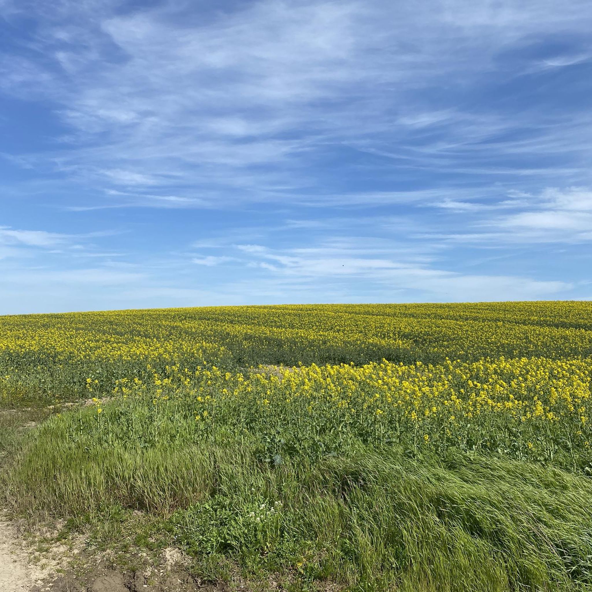
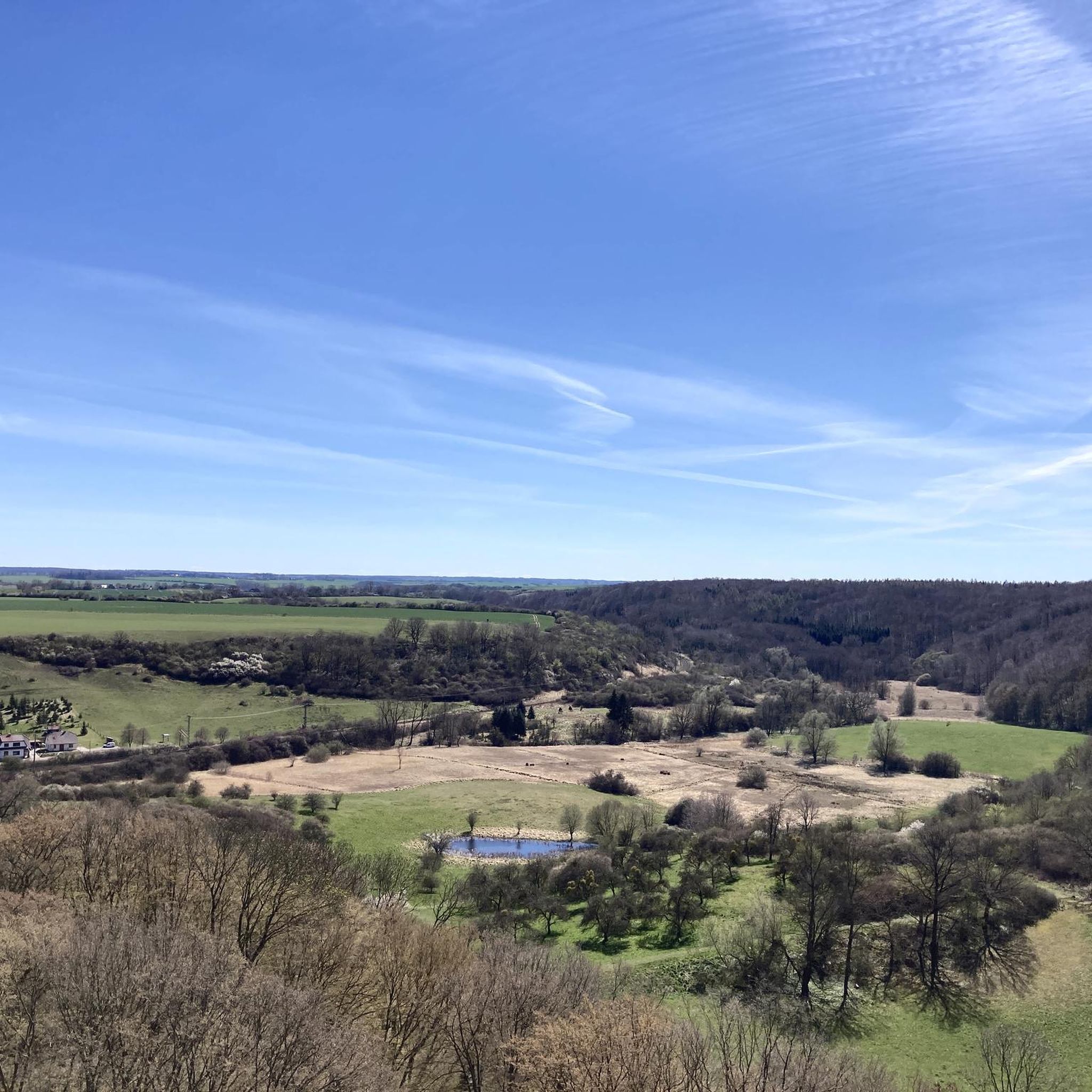
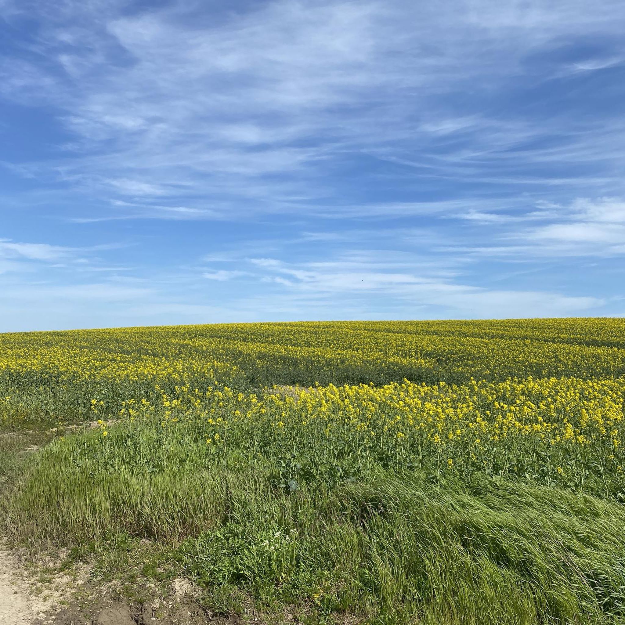
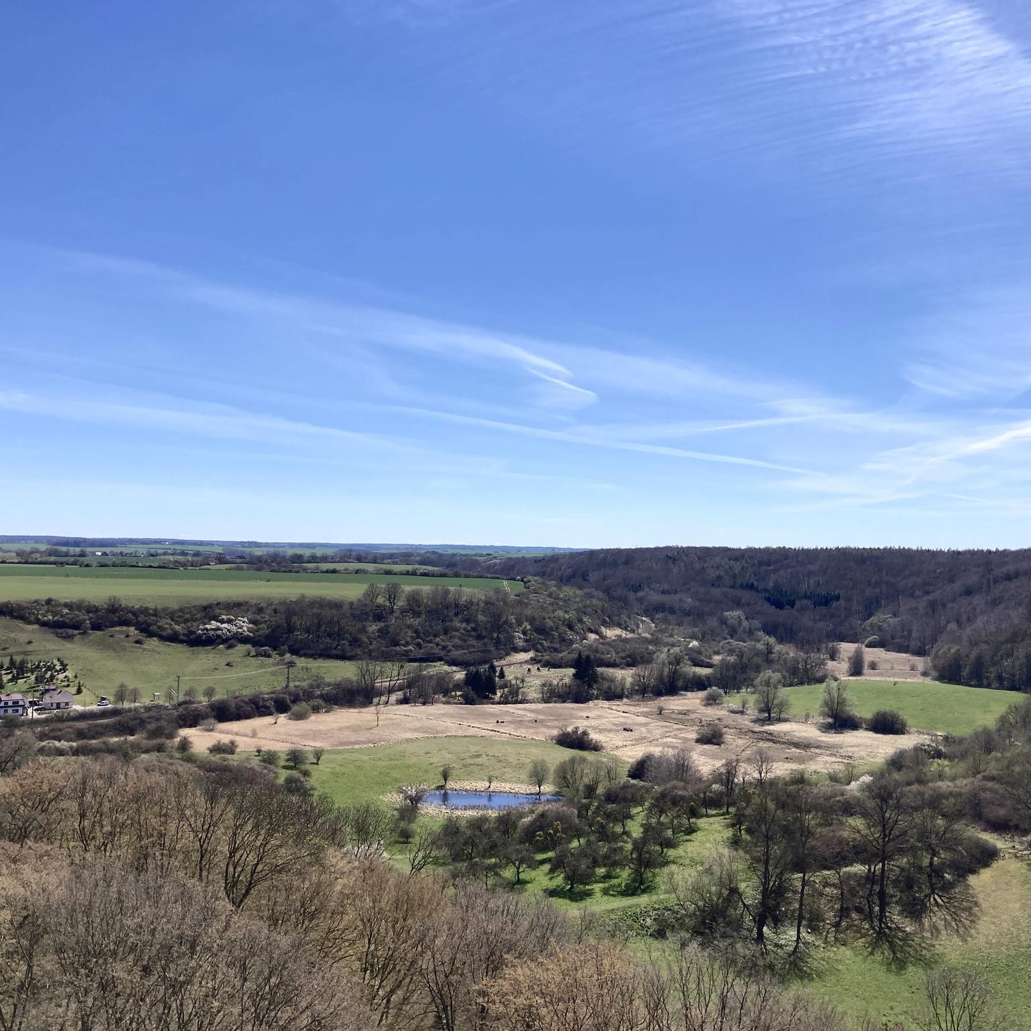
Hiking trails around Burg Stargard traverse a diverse landscape shaped by the last ice age, featuring a charming, hilly terrain with clear lakes and extensive forests. The region is characterized by its "seven hills," including the 90-meter-high Burgberg, and lies in the valley of the Linde river, which forms the Mühlenteich pond. This varied topography provides numerous opportunities for outdoor activities, from gentle strolls to more challenging hikes.
Best hiking trails around Burg Stargard
- The most popular hiking route is Burg Stargard – Stargard Castle loop from Burg Stargard, a 4.9 miles (7.9 km) trail that takes 2 hours 8 minutes to complete, exploring the historic castle and its surroundings.
- Another top favourite among local hikers is View of Lake Tollensesee – Behmshöhe Observation Tower loop from Tollensesee, a moderate 7.1 miles (11.4 km) path offering views of Lake Tollensesee and leading to the Behmshöhe Observation Tower.
- Local hikers also love the Burg Stargard – Lower Gate loop from Burg Stargard, a 5.6 miles (9.0 km) trail leading through the town's historic areas and hilly landscape, often completed in about 2 hours 26 minutes.
- Hiking around Burg Stargard is defined by its hilly landscape, clear lakes, and extensive forests, offering routes that cater to various fitness levels. The network includes easy, moderate, and difficult options, ensuring trails for different abilities.
- The routes in Burg Stargard are highly rated by the komoot community with an average score of 4.5 stars from more than 200 reviews. More than 1000 hikers have used komoot to explore Burg Stargard's varied terrain.
Last updated: May 16, 2026
4.8
(66)
191
hikers
8.09km
02:11
100m
100m
Moderate hike. Good fitness required. Easily-accessible paths. Suitable for all skill levels.
4.8
(22)
126
hikers
Moderate hike. Good fitness required. Easily-accessible paths. Suitable for all skill levels.

Sign up for free
4.7
(9)
41
hikers
9.10km
02:27
120m
120m
Moderate hike. Good fitness required. Easily-accessible paths. Suitable for all skill levels.
4.8
(9)
33
hikers
Moderate hike. Good fitness required. Easily-accessible paths. Suitable for all skill levels.
4.9
(7)
32
hikers
11.9km
03:10
120m
120m
Moderate hike. Good fitness required. Easily-accessible paths. Suitable for all skill levels.
Get access to more routes and recommendations from other explorers.
Sign up for free
Already have an account?
Our route recommendations are based on thousands of hikes, rides, and runs completed by other people on komoot.
Start today with a free account
Your next adventure awaits.
Login or Signup

Tips from the Community

Until approx. 1968, poor, old and sick people still lived there (in the end only a few women). After that, the social use ended (after almost 700 years).
0
0
The city is located "amidst seven hills" in the Lindenbach valley. The famous hilltop castle Stargard towers above this valley — a very picturesque setting that attracts many hikers and tourists.
0
0
In the Middle Ages, there was a large enclosed area here with a pleasure garden (similar to a small park), gardener's house, falconry, apiaries, dog kennels, and a cemetery. The princely family used it for leisurely strolls. After destruction during the Thirty Years' War, only the name "Burggarten" remained.
0
0
The memorial stone commemorates the transitional period after the First World War in Mecklenburg-Strelitz: from the German Empire to the Weimar Republic. Leuss embodies a contradictory biography – from a radical anti-Semite to a social democratic politician. In local publications of the town of Burg Stargard, he is primarily highlighted as the last Landdrost of Burg. The stone has been preserved to this day and is a visible local monument on the Burgberg.
0
0

Gravel thieves. Someone stole gravel in 2025 with a wheel loader in a protected area "Restoration of the Sand Martin breeding site". The special swallows are gone. Any police station will accept a report.
0
0
The almost 50-year-old nature trail from the GDR era near Klein Nemerow is getting a kind of refresher course. Together with "interested citizens of Groß Nemerow", Jürgen Langmann has created a field of glacial erratics with stones on site. And it will be further improved.
1
0
Definitely check the departure times shortly before the boat trip! https://www.neu-sw.de/linienschiff
0
0

A very nice swimming spot
0
0
Frequently Asked Questions
How many hiking trails are available around Burg Stargard?
There are over 60 hiking routes around Burg Stargard, offering a diverse range of experiences. You'll find trails suitable for various fitness levels, from easy strolls to more challenging day hikes through the region's hilly landscapes, clear lakes, and extensive forests.
Are there easy or beginner-friendly hiking trails in Burg Stargard?
Yes, Burg Stargard offers many easy and beginner-friendly options. More than half of the routes, specifically 37 out of 65, are classified as easy. These trails are perfect for those looking for a relaxed walk through the scenic surroundings. A good example is the Burg Stargard – Stargard Castle loop from Burg Stargard, which is a moderate route but accessible for many.
What kind of landscapes can I expect on hikes around Burg Stargard?
The hiking trails around Burg Stargard traverse a charming, hilly landscape shaped by the last ice age. You'll encounter clear lakes, extensive forests with ancient oak, beech, and pine trees, and the valley of the Linde river. The area is famously surrounded by 'seven hills,' offering surprisingly varied topography and panoramic views.
Are there any circular walks available in Burg Stargard?
Yes, Burg Stargard features several excellent circular walks. The Burg Stargard – Stargard Castle loop from Burg Stargard is a popular choice, exploring the historic castle and its surroundings. Another option is the Burg Stargard – Lower Gate loop from Burg Stargard, which guides you through the town's historic areas and hilly landscape.
What attractions or landmarks can I see along the hiking trails?
Many trails offer access to historical sites and natural beauty. The central attraction is Burg Stargard itself, the northernmost preserved hill castle in Northern Germany. You can also find highlights like Lake Tollens and Lake Tollense, which are often part of scenic routes. The View of Lake Tollensesee – Behmshöhe Observation Tower loop from Tollensesee specifically leads to the Behmshöhe Observation Tower, offering great views.
Are there family-friendly hiking options in Burg Stargard?
Absolutely. Many of the easy trails are suitable for families. The 'Sieben-Berge-Rundweg' (Seven Mountains Circular Trail) is a well-known family-friendly path that allows visitors to explore the hilly surroundings of Burg Stargard, with varying lengths and benches at viewpoints for resting.
Can I bring my dog on the hiking trails in Burg Stargard?
Generally, dogs are welcome on most hiking trails in the Burg Stargard region. However, it's always advisable to keep your dog on a leash, especially in nature reserves, near wildlife, or in areas with livestock. Be sure to check specific trail regulations if you plan to visit a national park or protected area.
Are there hikes with good viewpoints in Burg Stargard?
Yes, the hilly terrain around Burg Stargard provides several excellent viewpoints. The 38-meter-tall tower at Burg Stargard offers panoramic views of the ice-age-shaped landscape. Additionally, the View of Lake Tollensesee – Behmshöhe Observation Tower loop from Tollensesee leads to the Behmshöhe Observation Tower, which sits on one of the region's highest points, providing expansive vistas over Lake Tollensesee.
What is the best time of year for hiking in Burg Stargard?
Burg Stargard is beautiful for hiking year-round. Spring brings blooming nature, while summer offers warm weather for exploring lakes. Autumn is particularly scenic with vibrant fall foliage, and winter provides a quiet, serene experience, especially after snowfall. The diverse landscapes ensure a unique experience in every season.
What do other hikers enjoy most about hiking in Burg Stargard?
The area is highly rated by the komoot community, with an average score of 4.5 stars from over 200 reviews. Hikers often praise the diverse landscape, which combines charming hills, clear lakes, and extensive forests. The well-maintained trails and the opportunity to explore historical sites like Burg Stargard are also frequently highlighted.
Are there any long-distance hiking routes that pass through Burg Stargard?
Yes, the 'Burgenwanderweg' (Castle Hiking Route) is an approximately 28 km trail that connects Burg Stargard with the Old Castle in Penzlin. This route leads hikers through a scenic, hilly landscape with clear lakes and old-growth forests, offering a more extensive hiking experience.
Is there public transport available to reach hiking trails near Burg Stargard?
Burg Stargard is generally accessible by regional train services, connecting it to larger towns like Neubrandenburg. From the town center, many trails are within walking distance. For routes further afield, local bus services might be available, but it's recommended to check current schedules for specific starting points.
Where can I find parking for hiking in Burg Stargard?
Parking is typically available in and around the town center of Burg Stargard, often near the castle or other main attractions. For specific trailheads outside the town, look for designated parking areas or small lay-bys. It's always a good idea to check local signage for any parking restrictions or fees.
Most popular routes around Burg Stargard
Most popular attractions around Burg Stargard

Get inspired with the komoot mobile app


Explore more
Browse the best Hikes in other regions.
