The best walks and hikes around Milton Abbot
4.4
(632)
4,512
hikers
208
hikes
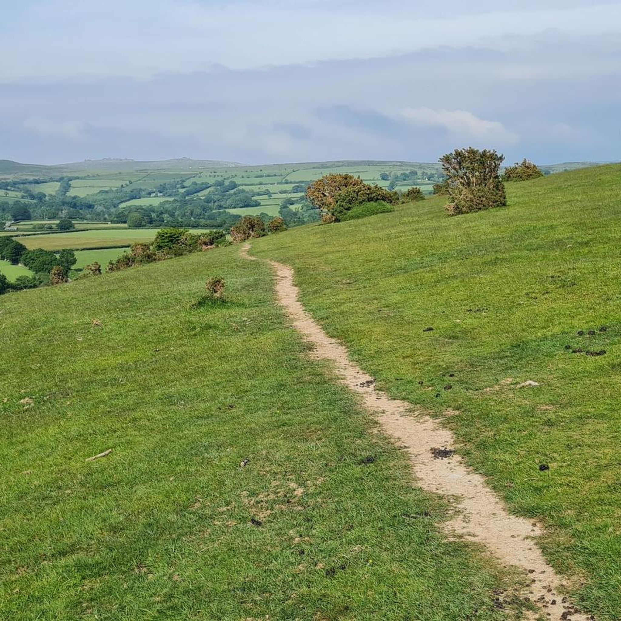
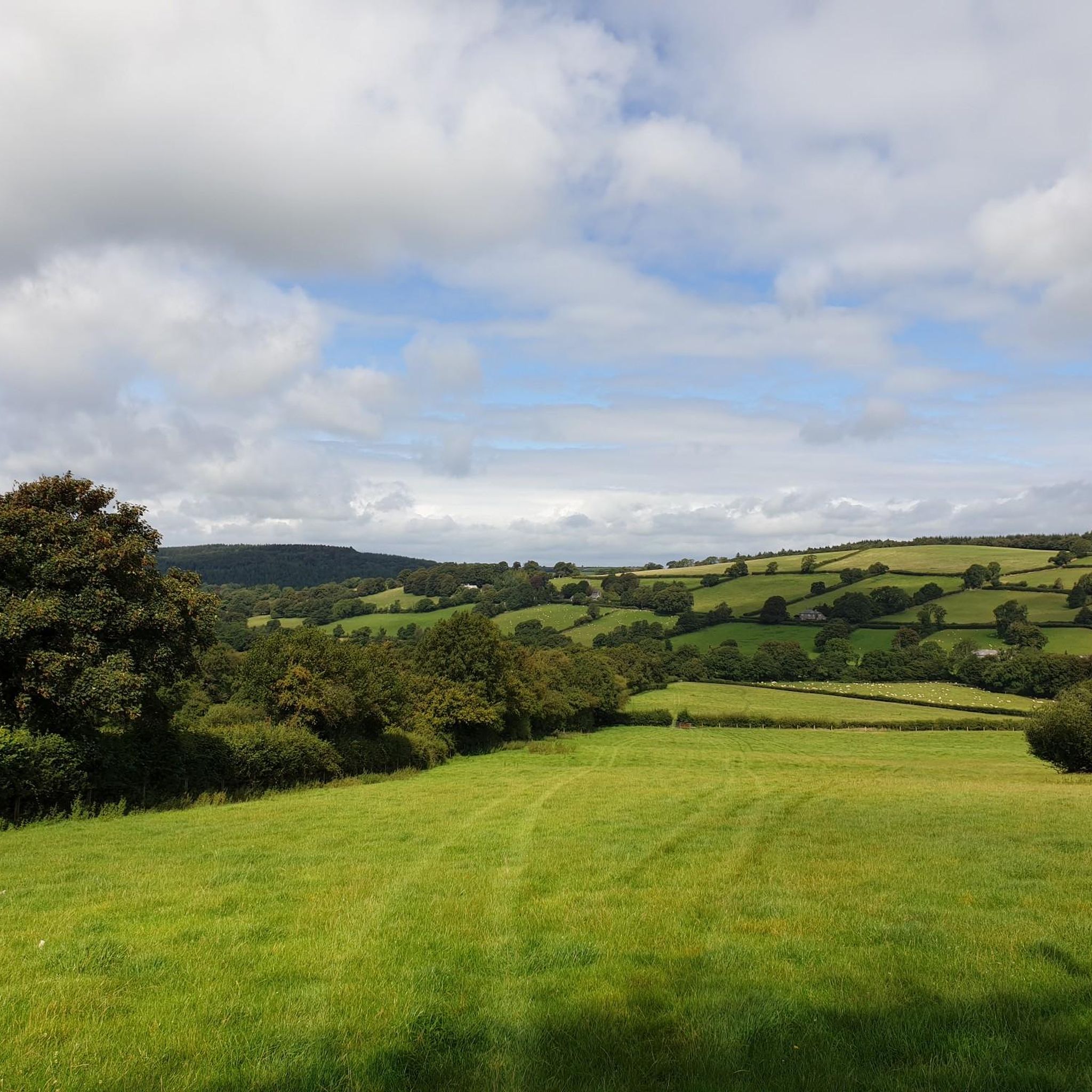
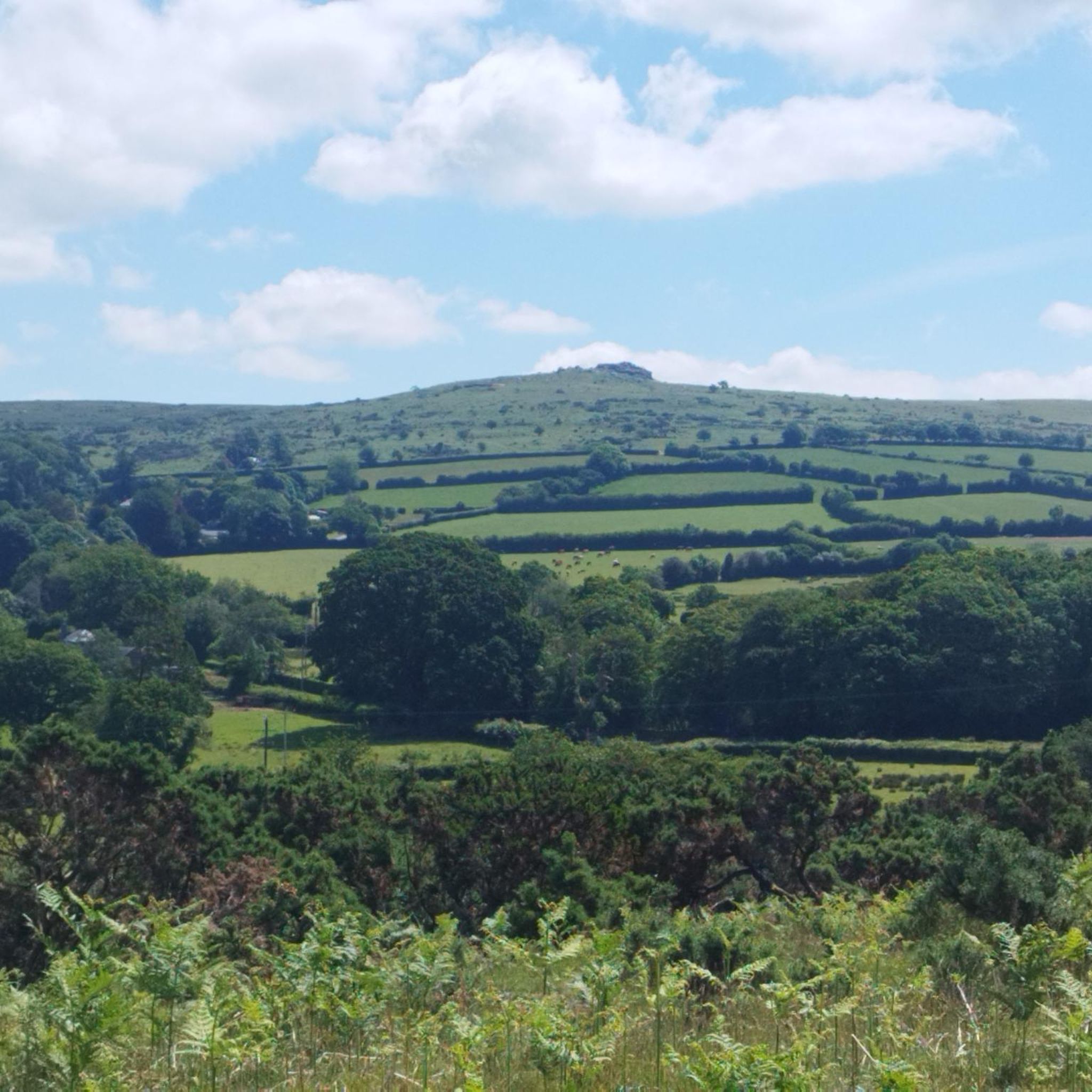
Hiking around Milton Abbot offers diverse landscapes, characterized by pastoral fields, ancient woodlands, and meandering rivers such as the Tavy and Lyd. The terrain includes verdant valleys and gentle hills, providing varied options for outdoor activities. The area is also in proximity to Dartmoor National Park, known for its remote, rocky hilltops (tors) and open moorland. This region provides a range of paths suitable for different experience levels.
Best hiking trails around Milton Abbot
- The most popular hiking route is Blanchdown Wood – View from Blanchdown Wood loop from Sydenham Damerel, a 3.5 miles (5.7 km) trail that takes 1 hour 35 minutes to complete. This easy route offers views from Blanchdown Wood.
- Another top favourite among local hikers is Brentor Church – St Michael's Church, Brent Tor loop from Brentor, a moderate 7.9 miles (12.7 km) path. This trail explores the area around the notable St Michael's Church on Brent Tor.
- Local hikers also love the Gibbet Hill loop from Brentor, an 8.5 miles (13.8 km) trail leading through varied countryside, often completed in about 3 hours 54 minutes.
- Hiking around Milton Abbot is defined by ancient woodlands, meandering rivers, and proximity to Dartmoor's tors. The network offers options for different ability levels, from easy strolls to more challenging treks.
- The routes in Milton Abbot are highly rated by the komoot community with an average score of 4.4 stars from over 500 reviews. More than 3,800 hikers have used komoot to explore Milton Abbot's varied terrain.
Last updated: June 26, 2026
4.3
(3)
35
hikers
5.70km
01:36
110m
110m
Easy hike. Great for any fitness level. Easily-accessible paths. Suitable for all skill levels.
5.0
(3)
7
hikers
12.7km
03:38
310m
300m
Moderate hike. Good fitness required. Easily-accessible paths. Suitable for all skill levels.

Sign up for free
5.0
(2)
5
hikers
14.1km
04:00
310m
310m
Moderate hike. Good fitness required. Easily-accessible paths. Suitable for all skill levels.
4.5
(2)
6
hikers
16.3km
04:35
330m
330m
Moderate hike. Good fitness required. Easily-accessible paths. Suitable for all skill levels.
6
hikers
20.2km
05:43
430m
430m
Hard hike. Very good fitness required. Easily-accessible paths. Suitable for all skill levels.
Get access to more routes and recommendations from other explorers.
Sign up for free
Already have an account?
Our route recommendations are based on thousands of hikes, rides, and runs completed by other people on komoot.
Start today with a free account
Your next adventure awaits.
Login or Signup

Tips from the Community

Gibbet Hill 353m P40 (1158ft) [List Objective: Kents] (DoBIH Hill ID: 17517) [JNSA 11442] Dartmoor National Park Definitive List summit.
0
0


Directly at the bridge, the river is dammed slightly, so that a wonderful swimming pool was created there
0
0

Wheal Anna Maria – a copper and arsenic mine – covered 3.2 hectares and had over 6,850 cubic metres of arsenic flues! It was named after the Duchess of Bedford! Her main workings were on the ‘Main Lode‘ (the largest sulphide deposit in southwest England). When its rich copper waned, Devon Great Consols became the largest arsenic mine in the world because the margins of the copper-rich lode were dominated by arsenopyrite. In 1860 the copper lode at Anna Maria was up to 45 feet wide and yielding up to 80 tons per fathom, but by around 1880 the copper boom was over. Thankfully, arsenic production sustained the mine into the 1900s, until the company folded. Arsenic ore, unlike copper ore, was refined on site using the ‘calcination’ process – and at Wheal Anna Maria they yielded over 72,000 tons of refined arsenic! – Whoop!
0
0
Nice spot to take a break and enjoy the views
0
0

It's a tap installed outside a wooden shed of the electrical department and as close as you can get to a public fountain. Push the wooden lever hard to start the water flow, and enjoy.
0
0

Area of coniferous woodland, near Tavistock, situated on the banks of the river Tamar. The woods are home to plenty of hiking and bike trails, and offer plenty of scope for exploration.
0
0
Frequently Asked Questions
How many hiking trails are available around Milton Abbot?
There are over 200 hiking trails around Milton Abbot, catering to various skill levels. This includes 98 easy routes, 102 moderate paths, and 11 more challenging treks.
What do other hikers enjoy most about hiking in Milton Abbot?
The area is highly rated by the komoot community, with an average score of 4.4 stars from over 500 reviews. Hikers often praise the diverse landscapes, from ancient woodlands and meandering rivers to the proximity of Dartmoor's rugged tors, offering a wide range of experiences.
Are there any family-friendly hiking routes near Milton Abbot?
Yes, there are many easy routes suitable for families. A good option is the Blanchdown Wood – View from Blanchdown Wood loop from Sydenham Damerel. This 3.5-mile (5.7 km) easy trail offers pleasant views and takes about 1 hour 35 minutes to complete.
Are there any circular walks around Milton Abbot?
Many of the trails around Milton Abbot are circular, allowing you to start and end at the same point. For example, the Brentor Church – St Michael's Church, Brent Tor loop from Brentor is a moderate 7.9-mile (12.7 km) circular path exploring the area around the notable St Michael's Church.
What kind of terrain can I expect on hikes near Milton Abbot?
The terrain around Milton Abbot is quite varied, featuring pastoral fields, ancient woodlands, and valleys carved by rivers like the Tavy and Lyd. You'll find gentle hills and, closer to Dartmoor National Park, more rugged, rocky hilltops known as tors. This diversity provides options from leisurely strolls to more challenging treks.
Are there any waterfalls or dramatic natural features to see on hikes?
Absolutely. The region is home to Lydford Gorge, a spectacular wooded ravine cut by the River Lyd, which features the impressive 90ft White Lady Waterfall and the Devil's Cauldron whirlpool. You can explore this area via trails that lead through the gorge. Lydford Gorge is a must-see highlight.
What historical landmarks or attractions can I visit while hiking?
There are several notable landmarks. You can visit St Michael's Church on Brent Tor, a distinctive church atop a volcanic cone. The historic Grenofen Tunnel, part of Drake's Trail, offers a unique walk through a repurposed railway tunnel. Additionally, Kit Hill Trig Point offers historical significance and panoramic views over the Tamar Valley.
Are there any challenging hikes for experienced trekkers?
Yes, for those seeking a challenge, there are difficult routes available. The Longtimber Tor – River Tavy loop from Brentor is a demanding 12.6-mile (20.2 km) trail with significant elevation gain, offering a more rugged adventure into the Dartmoor fringes.
Are the hiking trails around Milton Abbot dog-friendly?
Many trails in the Milton Abbot area are suitable for dogs, especially those through woodlands and along river paths. However, always keep dogs under control, particularly near livestock or in areas with ground-nesting birds. Check local signage for specific restrictions, especially within Dartmoor National Park.
Where can I find parking for hiking trails in Milton Abbot?
Parking is generally available in or near the villages that serve as starting points for many trails, such as Brentor or Sydenham Damerel. For specific routes, it's advisable to check the komoot tour details for information on designated parking areas or roadside parking options.
Are there any viewpoints with stunning scenery on the hikes?
Yes, the region offers several excellent viewpoints. The Kit Hill Trig Point provides expansive views over the Tamar Valley. Additionally, the trails around Brentor, such as the Brentor Church loop, offer panoramic vistas from the elevated position of St Michael's Church.
What is the best time of year to go hiking in Milton Abbot?
Spring and autumn are particularly pleasant for hiking around Milton Abbot, with milder temperatures and beautiful seasonal colours in the woodlands and fields. Summer offers longer daylight hours, while winter can provide crisp, clear days, though some paths might be muddy or slippery.
Most popular routes around Milton Abbot
Most popular attractions around Milton Abbot

Get inspired with the komoot mobile app


Explore more
Browse the best Hikes in other regions.
