The best walks and hikes around Dunterton
4.3
(57)
558
hikers
63
hikes
Hiking around Dunterton explores the border between Devon and Cornwall, an area defined by the River Tamar and its surrounding valley. The region's terrain is characterized by rolling hills, dense woodlands, and paths that follow the river. These Dunterton Tamar Valley walks offer a mix of gentle riverside sections and more elevated routes with views across the landscape. The network of routes provides options suitable for different ability levels, from easy circular walks to longer, more moderate hikes.
Best hiking…
Last updated: June 25, 2026
4.3
(3)
35
hikers
5.70km
01:36
110m
110m
Easy hike. Great for any fitness level. Easily-accessible paths. Suitable for all skill levels.
6
hikers
5.00km
01:21
70m
70m
Easy hike. Great for any fitness level. Easily-accessible paths. Suitable for all skill levels.

Sign up for free
3
hikers
14.9km
04:00
180m
180m
Moderate hike. Good fitness required. Easily-accessible paths. Suitable for all skill levels.
4.5
(2)
6
hikers
16.3km
04:35
330m
330m
Moderate hike. Good fitness required. Easily-accessible paths. Suitable for all skill levels.
6
hikers
4.19km
01:10
80m
80m
Easy hike. Great for any fitness level. Easily-accessible paths. Suitable for all skill levels.
Get access to more routes and recommendations from other explorers.
Sign up for free
Already have an account?
Our route recommendations are based on thousands of hikes, rides, and runs completed by other people on komoot.
Start today with a free account
Your next adventure awaits.
Login or Signup
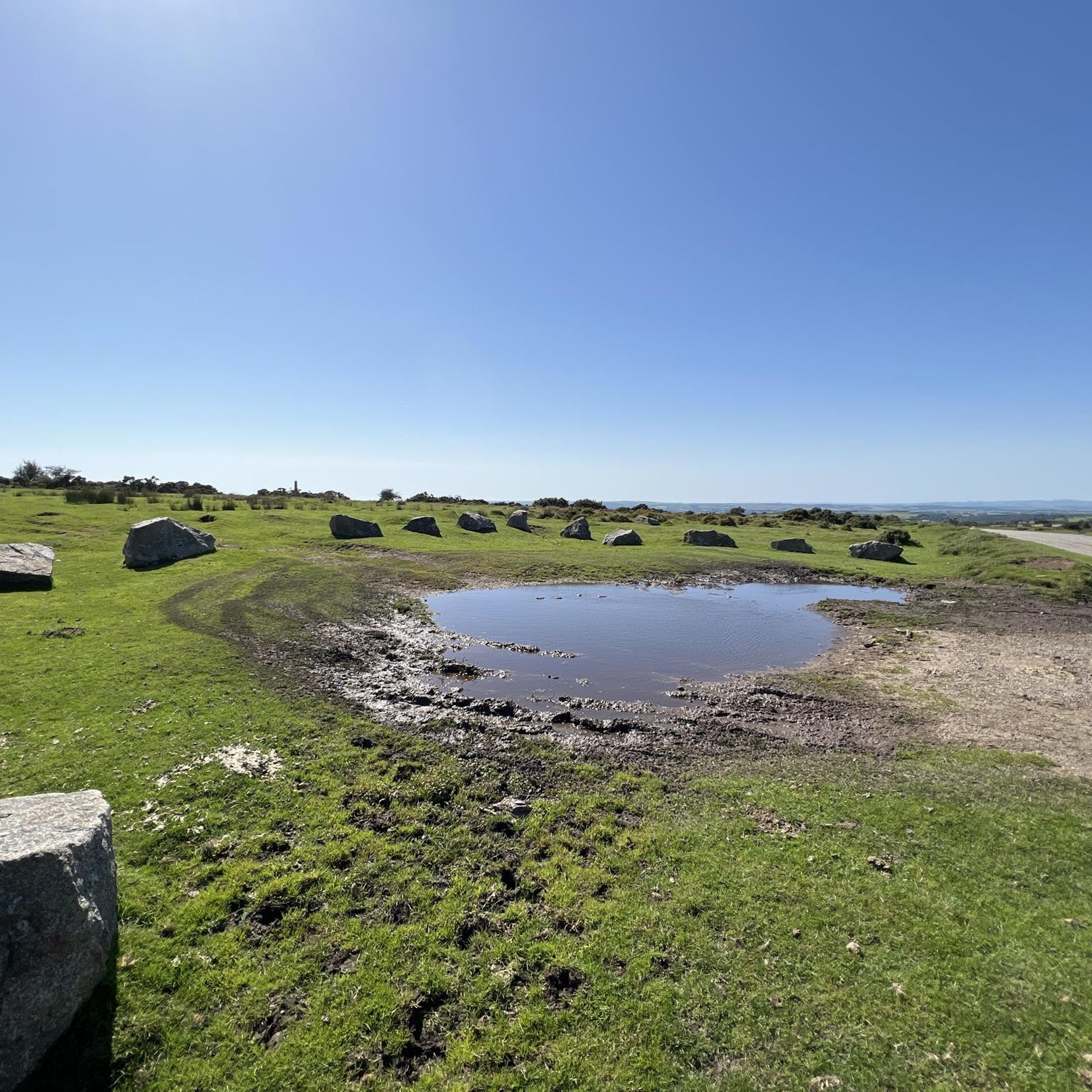
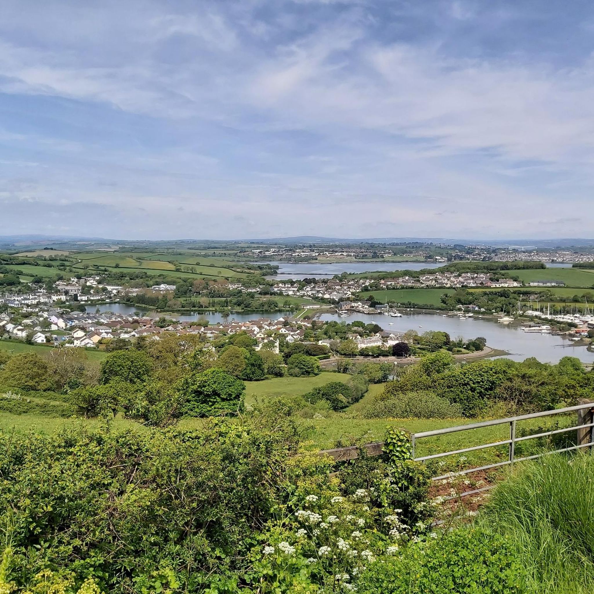

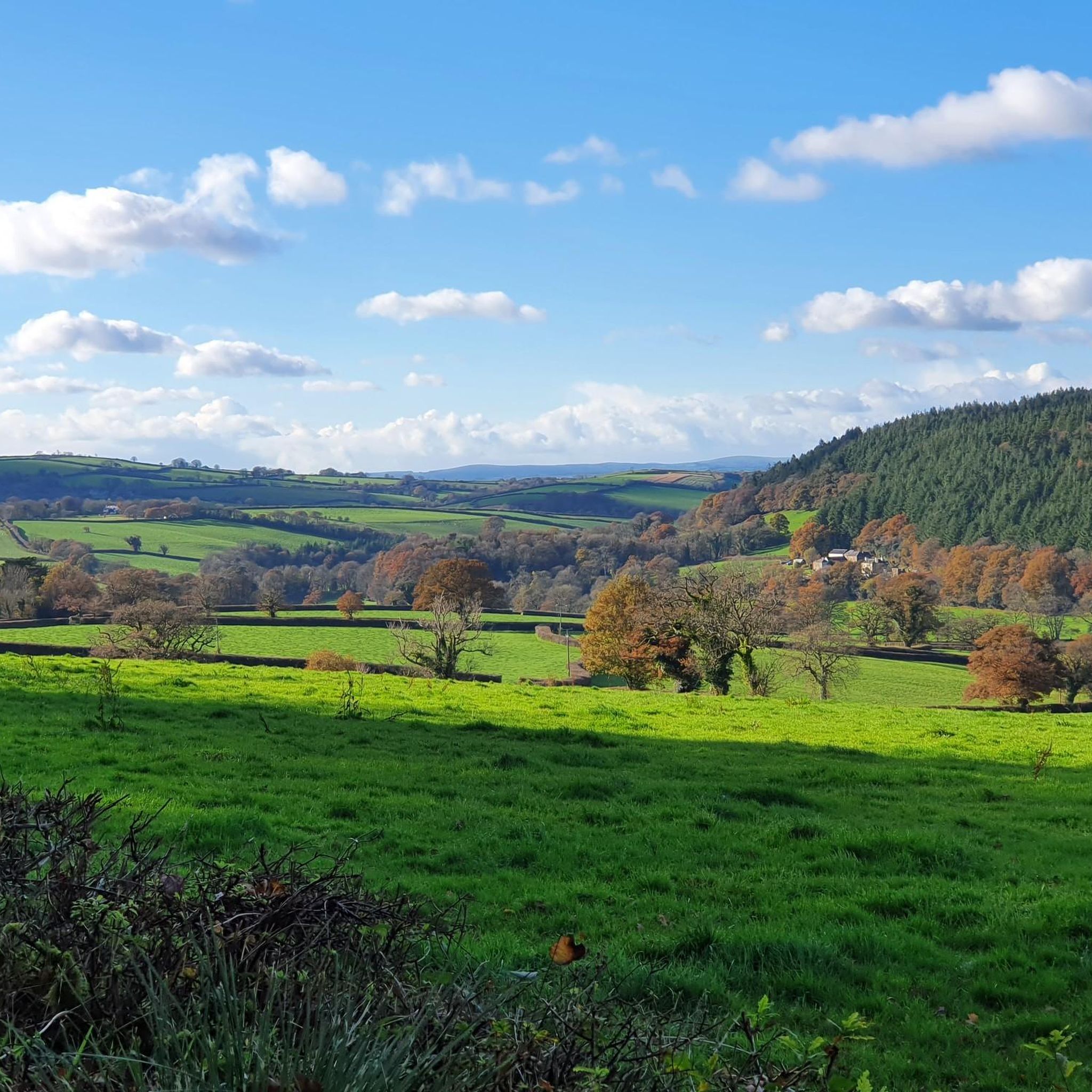
Tips from the Community

Wheal Anna Maria – a copper and arsenic mine – covered 3.2 hectares and had over 6,850 cubic metres of arsenic flues! It was named after the Duchess of Bedford! Her main workings were on the ‘Main Lode‘ (the largest sulphide deposit in southwest England). When its rich copper waned, Devon Great Consols became the largest arsenic mine in the world because the margins of the copper-rich lode were dominated by arsenopyrite. In 1860 the copper lode at Anna Maria was up to 45 feet wide and yielding up to 80 tons per fathom, but by around 1880 the copper boom was over. Thankfully, arsenic production sustained the mine into the 1900s, until the company folded. Arsenic ore, unlike copper ore, was refined on site using the ‘calcination’ process – and at Wheal Anna Maria they yielded over 72,000 tons of refined arsenic! – Whoop!
0
0
Nice spot to take a break and enjoy the views
0
0

Easy-to-walk trail along the stream through an enchanted, green, mossy forest.
0
0

Area of coniferous woodland, near Tavistock, situated on the banks of the river Tamar. The woods are home to plenty of hiking and bike trails, and offer plenty of scope for exploration.
0
0
What remains of the area's history in mining. The engine houses were used as a part of the Gunnislake Clitters Mine, with mine shafts in the area being over 500-metres deep at times.
0
0

Once the ancient capital of Cornwall, Launceston is a market town with steep sided hills. It is often thought of as the gateway to Cornwall.
0
0
Launceston Castle was built shortly after the Norman Conquest in 1068. It's towering position high above the town means it can be seen from miles around. Launceston was once the capital of Cornwall but when this was changed to Bodmin, the castle fell into disrepair. It was used as a jail and then to host assizes, courts held in county towns presided over by a visiting judge.
0
0
Wheal Anna Maria was originally a copper and later an arsenic mine. The biggest arsenic mine in the world. The ruins you can see are from the arsenic calcining complex where the arsenic-ore was crushed then roasted (calcinated). The white powder of arsenic would coat the walls of the flues and be scraped off by men and children. They were protected from the extremely toxic poison only by cotton wool in their ears and noses and rags covering their mouths! They even had to scrape the white powder off their boots before going home.
0
1
Frequently Asked Questions
Are there many hiking trails to choose from around Dunterton?
Yes, there are over 70 hiking routes to explore in the Dunterton area. The trails range from easy riverside strolls to more challenging woodland hikes, offering plenty of options for all ability levels.
What is the terrain like on walks near Dunterton?
The landscape is defined by the Tamar Valley, featuring a mix of rolling hills, dense woodlands like those in Blanchdown Wood, and gentle paths that follow the River Tamar. You can expect quiet country lanes and some moderate inclines that provide views across the valley.
Are there any easy, circular walks suitable for beginners?
Absolutely. The region has many shorter, relatively flat loops. For a straightforward walk, consider the Lezant Church loop from Treburley. It's a 3.4-mile (5.5 km) route that is generally considered easy and takes you through the quiet countryside.
Can I bring my dog on the trails around Dunterton?
Most countryside paths and woodland trails in the area are suitable for walking with dogs. However, you will likely cross fields with livestock, so it's essential to keep your dog on a lead in these areas. Always check for local signage regarding dogs, especially in protected woodlands.
What do other hikers think of the routes in this area?
The hiking routes around Dunterton are well-regarded by the komoot community, holding an average rating of 4.4 out of 5 stars. Reviewers often praise the peaceful atmosphere of the riverside paths and the beautiful scenery within the Tamar Valley.
Are there any long-distance hikes in the Dunterton area?
While many routes are shorter loops, there are options for those seeking a longer day of hiking. For a more substantial walk, you could try the Landlake Wood loop from Launceston. This 9-mile (14.5 km) moderate trail offers a more extensive exploration of the local woodlands and countryside.
Where is the best place to park for a walk?
Parking availability varies by route. For trails starting from towns like Launceston or Gunnislake, you will find public car parks. For more rural trailheads, parking is often limited to small lay-bys on country lanes. It's best to check the starting point of your chosen route on the map beforehand to see parking suggestions.
Can I get to the hiking trails using public transport?
Accessing trailheads directly via public transport can be challenging in this rural area. However, towns like Launceston and Gunnislake have bus services and, in the case of Gunnislake, a train station. From there, you can start several walks, such as the Great Hall loop from Launceston, which begins in the town.
Are there any walks that finish near a pub?
Many walks start or finish in or near villages and towns like Launceston, Gunnislake, and Treburley, which have traditional pubs. Planning a route that loops back to one of these locations is a great way to end your hike with some refreshments.
How difficult are the hikes around Dunterton?
The majority of trails are rated as easy or moderate. Easy trails, like the Lezant Church loop from Trebullett, are generally shorter with minimal elevation gain. Moderate routes involve more distance and some steeper sections through the valley's hills. There is only one trail in the entire area rated as difficult.
How close is Dartmoor National Park to Dunterton?
Dunterton is located just to the west of Dartmoor National Park. The edge of the park is only a short drive away, approximately 5-10 miles (8-16 km) to the east, making it easy to combine a visit to the Tamar Valley with an excursion into the moorlands.
Most popular attractions around Dunterton

Get inspired with the komoot mobile app


Explore more
Browse the best Hikes in other regions.
