The best cycling routes around Stokeclimsland
4.6
(123)
1,336
riders
143
rides
Touring cycling routes around Stokeclimsland offer a diverse landscape for riders. The area features undulating terrain with notable elevation changes, as indicated by routes traversing hills and valleys. Water features, such as quays and bridges, are also present, suggesting routes along rivers or coastal areas. The network includes paths suitable for various skill levels, from easy loops to more challenging long-distance rides.
Best touring cycling routes around Stokeclimsland
- The most popular touring cycling route is Gem Bridge – Grenofen Tunnel…
Last updated: May 12, 2026
20
riders
72.5km
04:50
1,030m
1,030m
Hard bike ride. Very good fitness required. Mostly paved surfaces. Suitable for all skill levels.
5.0
(1)
13
riders
11.3km
00:43
130m
130m
Easy bike ride. Great for any fitness level. Mostly paved surfaces. Suitable for all skill levels.

Sign up for free
16
riders
75.3km
05:09
1,110m
1,110m
Hard bike ride. Very good fitness required. Mostly paved surfaces. Suitable for all skill levels.
4.0
(1)
13
riders
36.0km
02:22
510m
510m
Hard bike ride. Very good fitness required. Mostly paved surfaces. Suitable for all skill levels.
9
riders
33.9km
02:17
520m
520m
Hard bike ride. Very good fitness required. Mostly paved surfaces. Suitable for all skill levels.
Get access to more routes and recommendations from other explorers.
Sign up for free
Already have an account?
Our route recommendations are based on thousands of hikes, rides, and runs completed by other people on komoot.
Start today with a free account
Your next adventure awaits.
Login or Signup

Tips from the Community


The official website promotes the DRAKE'S TRAIL with the words, "Drake's Trail in West Devon is a 21-mile cycling and walking route linking Tavistock with Plymouth. This important part of Devon's recreational route network runs through superb countryside with attractive scenery along the western edge of Dartmoor, along with much historical and heritage interest." If you're interested, further information is available at =>> http://www.drakestrail.co.uk/
2
0

A good few 'dings' of a bell will alert walkers in the tunnel if on your bike! If you don't have a bell - a big old 'Woo Woooo' will carry down the tunnel as well!
2
0

Here the children from the English school book by Cornelsen cavort
0
0

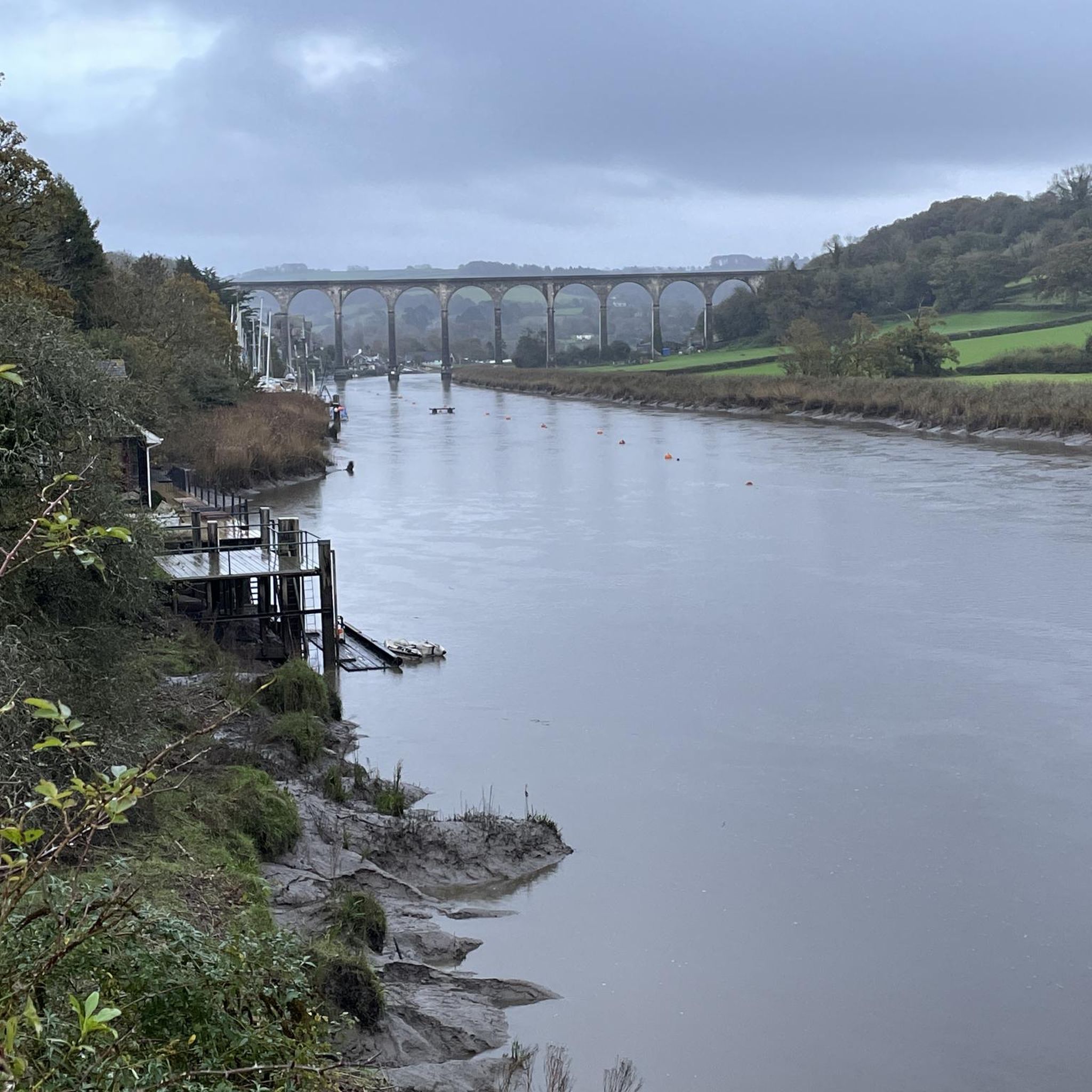
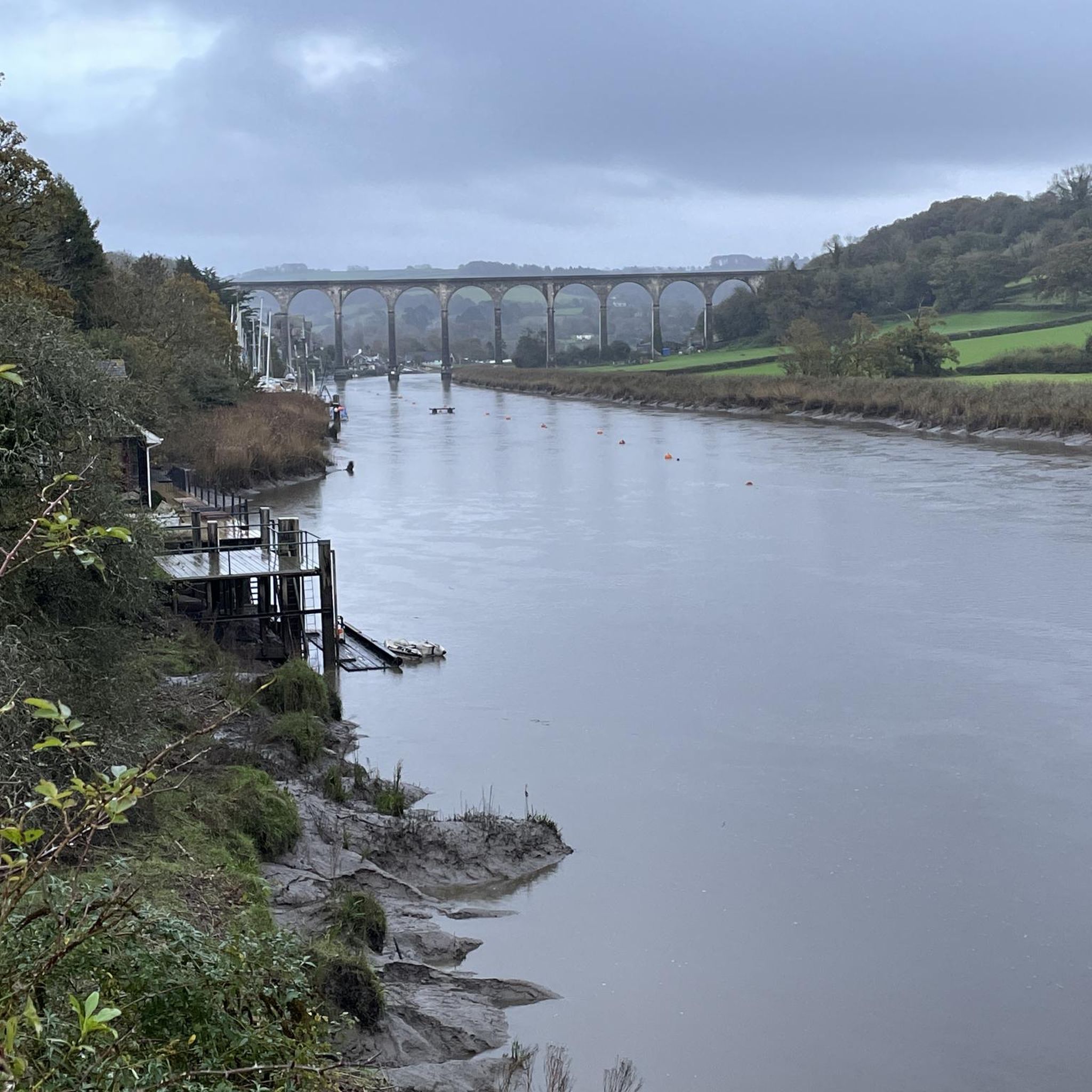
Spectacular bridge, very safe to cross by bike or on foot. At least when there is not a crosswind nor too many other users
0
0


Can secure bikes in the garden and sit with them if you wish. 10% discount for cyclists. Food yummy.
0
0
Frequently Asked Questions
How many touring cycling routes can I find around Stokeclimsland?
There are over 140 touring cycling routes available around Stokeclimsland. These routes offer a diverse range of experiences, from easy loops to challenging long-distance rides, catering to various skill levels.
Are there easy touring cycling routes suitable for beginners in Stokeclimsland?
Yes, Stokeclimsland offers several easy touring cycling routes perfect for beginners. For example, the Descent from Kit Hill loop from Callington is an easy 7.0-mile (11.3 km) trail that takes about 43 minutes to complete, leading through pleasant hilly landscapes.
Where can I find more challenging or long-distance touring cycling routes near Stokeclimsland?
For experienced touring cyclists seeking a challenge, Stokeclimsland has over 90 difficult routes. The Grenofen Tunnel – Grenofen Tunnel loop from Callington is a demanding 46.8-mile (75.3 km) path with over 3,600 feet (1,100 meters) of ascent, offering a rigorous ride through the region's varied terrain.
Are there circular touring cycling routes available around Stokeclimsland?
Yes, many of the touring cycling routes around Stokeclimsland are designed as loops, allowing you to start and finish at the same point. The Gem Bridge – Grenofen Tunnel loop from South Hill is a popular example, covering 45.3 miles (72.9 km) through varied landscapes.
What kind of scenery can I expect on touring cycling routes in Stokeclimsland?
Touring cycling around Stokeclimsland is characterized by varied elevation, riverine paths, and rural scenery. You'll encounter undulating terrain, hills, valleys, and water features like quays and bridges, suggesting routes along rivers or coastal areas. The region offers a mix of natural beauty and historical points of interest.
What are some interesting landmarks or attractions I can see along the touring cycling routes?
The area around Stokeclimsland is rich in natural and historical attractions. Along your rides, you might encounter highlights such as the Kit Hill Trig Point, the ancient The Cheesewring, or the intriguing The Hurlers Stone Circles. The historic Cotehele Quay is also accessible via routes like the Cotehele House and Quay – Cotehele Quay loop from South Hill.
Are there touring cycling routes that pass by cafes or pubs in Stokeclimsland?
While specific routes aren't tagged for cafes or pubs, many touring routes in rural areas like Stokeclimsland will pass through villages or towns where you can find local establishments for refreshments. Planning your route with komoot allows you to discover points of interest, including cafes and pubs, along your chosen path.
What do other touring cyclists enjoy most about cycling in Stokeclimsland?
The touring cycling routes in Stokeclimsland are highly rated by the komoot community, with an average score of 4.6 stars from over 100 reviews. Cyclists often praise the varied terrain, the scenic riverine paths, and the overall rural beauty of the region. Over 1300 touring cyclists have used komoot to explore the area, highlighting its popularity.
Are there any touring cycling routes with good viewpoints in the Stokeclimsland area?
Yes, the undulating terrain around Stokeclimsland provides several opportunities for scenic viewpoints. For instance, Caradon Hill is a notable viewpoint in the vicinity, offering expansive views. Routes that traverse higher ground, such as those around Kit Hill, will also provide excellent vistas of the surrounding countryside.
Can I access touring cycling routes in Stokeclimsland using public transport?
While Stokeclimsland itself is a rural village, surrounding towns like Callington, which serve as starting points for several routes, may offer better public transport connections. It's advisable to check local bus services or train links to nearby hubs and then plan your cycle route from there. The Tamar Bridge – Mud Trail loop from Callington is an example of a route starting from a more accessible town.
What is the best time of year for touring cycling around Stokeclimsland?
The best time for touring cycling around Stokeclimsland generally aligns with milder weather, typically from spring through early autumn (April to October). During these months, you can expect more pleasant temperatures and less rainfall, making for more enjoyable rides. However, the region's varied terrain can be explored year-round, with appropriate gear for cooler or wetter conditions.
Most popular routes around Stokeclimsland
Most popular attractions around Stokeclimsland

Get inspired with the komoot mobile app


Explore more
Browse the best Cycling routes in other regions.
