The best walks and hikes around Slievenisky
4.7
(125)
1,613
hikers
54
hikes
Hikes around Slievenisky explore the Dromara Hills in County Down, a landscape defined by rolling hills, open moorland, and tracts of forest. The region's geology is part of the Newry Igneous Complex, resulting in granite foundations, thin acidic soil, and terrain characterized by grasses, gorse, and rocky outcrops. The area includes the source of the River Lagan and offers expansive views across the surrounding countryside.
Best hiking trails around Slievenisky
- The most popular hiking route is the Slieve Croob Summit Path – Slieve Croob Summit loop from Dromara Hills, a 6.3 mile (10.1 km) trail that takes about 3 hours 7 minutes to complete. This moderate hike combines ascents of both Slievenisky and its taller neighbor, Slieve Croob.
- Another top favourite among local hiking enthusiasts is the Drumkeeragh Forest Park loop, a moderate 4.8 mile (7.7 km) path. The route follows tracks through the forest, offering a different type of scenery from the open hills.
- Local hiking enthusiasts also love the Slievenaslat & Tea House loop — Mourne, a 3.5 mile (5.7 km) trail leading through woodland in Castlewellan Forest Park, often completed in about 1 hour 36 minutes.
- Hiking around Slievenisky is defined by open moorland, rolling hills, and managed forest parks. The network of trails provides options for different ability levels, from easy forest walks to more demanding hill circuits.
- The routes in Slievenisky are highly rated by the komoot community with an average score of 4.7 stars from more than 80 reviews. More than 1,200 hikers have used komoot to explore Slievenisky's varied terrain.
Last updated: August 18, 2026
4.2
(9)
156
hikers
4.49km
01:23
160m
160m
Easy hike. Great for any fitness level. Easily-accessible paths. Suitable for all skill levels.
4.7
(3)
53
hikers
7.74km
02:08
130m
130m
Moderate hike. Good fitness required. Easily-accessible paths. Suitable for all skill levels.

Sign up for free
5.0
(1)
4
hikers
5.66km
01:36
120m
120m
Easy hike. Great for any fitness level. Easily-accessible paths. Suitable for all skill levels.
4.0
(2)
12
hikers
10.1km
03:07
360m
360m
Moderate hike. Good fitness required. Easily-accessible paths. Suitable for all skill levels.
4.0
(2)
12
hikers
10.7km
03:17
380m
380m
Moderate hike. Good fitness required. Easily-accessible paths. Suitable for all skill levels.
Get access to more routes and recommendations from other explorers.
Sign up for free
Already have an account?
Our route recommendations are based on thousands of hikes, rides, and runs completed by other people on komoot.
Start today with a free account
Your next adventure awaits.
Login or Signup
Tips from the Community

Drumkeeragh is a beautiful coniferous woodland located in the southern region of Northern Ireland. The forest is in a mountaineous area, creating an elevated position to enjoy far-reaching views toward the Mourne Mountains, coastline & surrounding lush counyside.
1
0
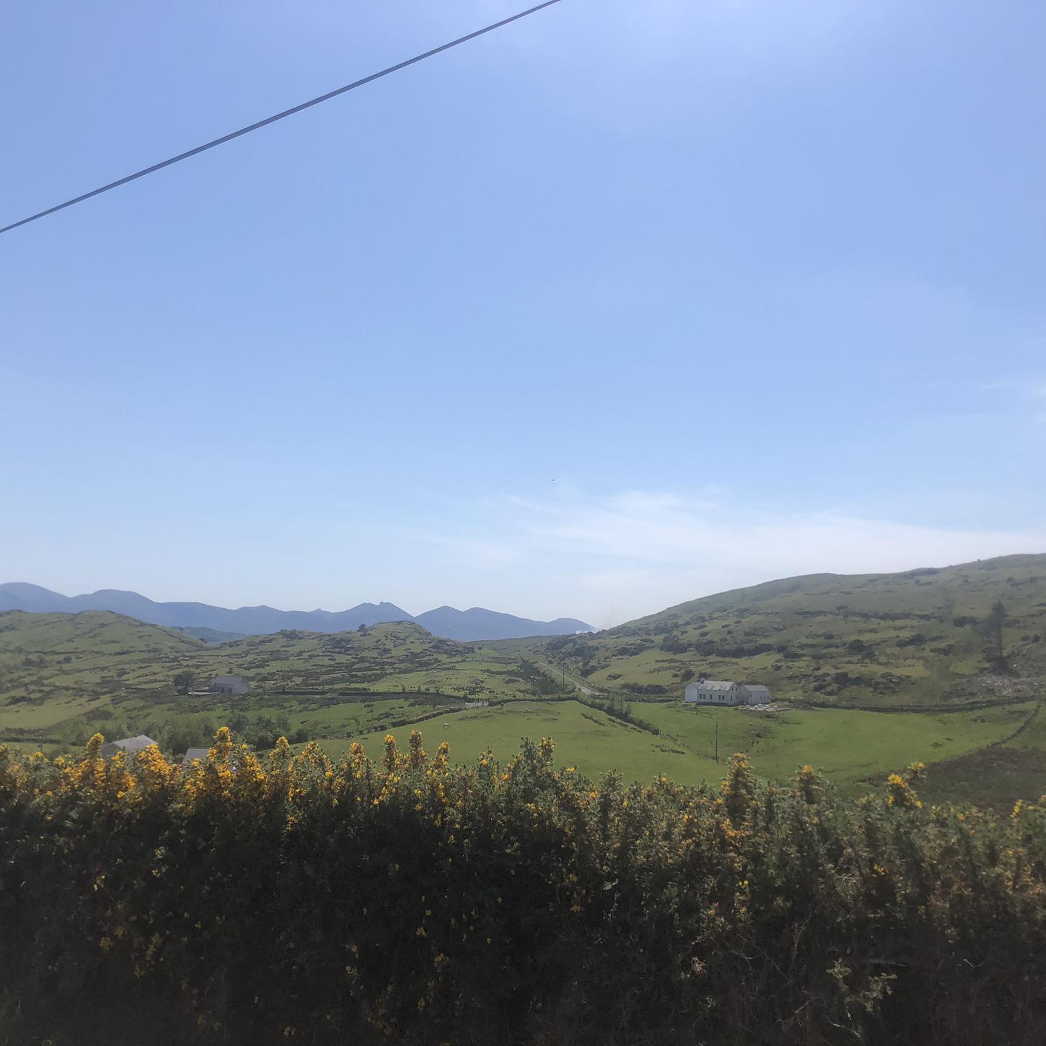
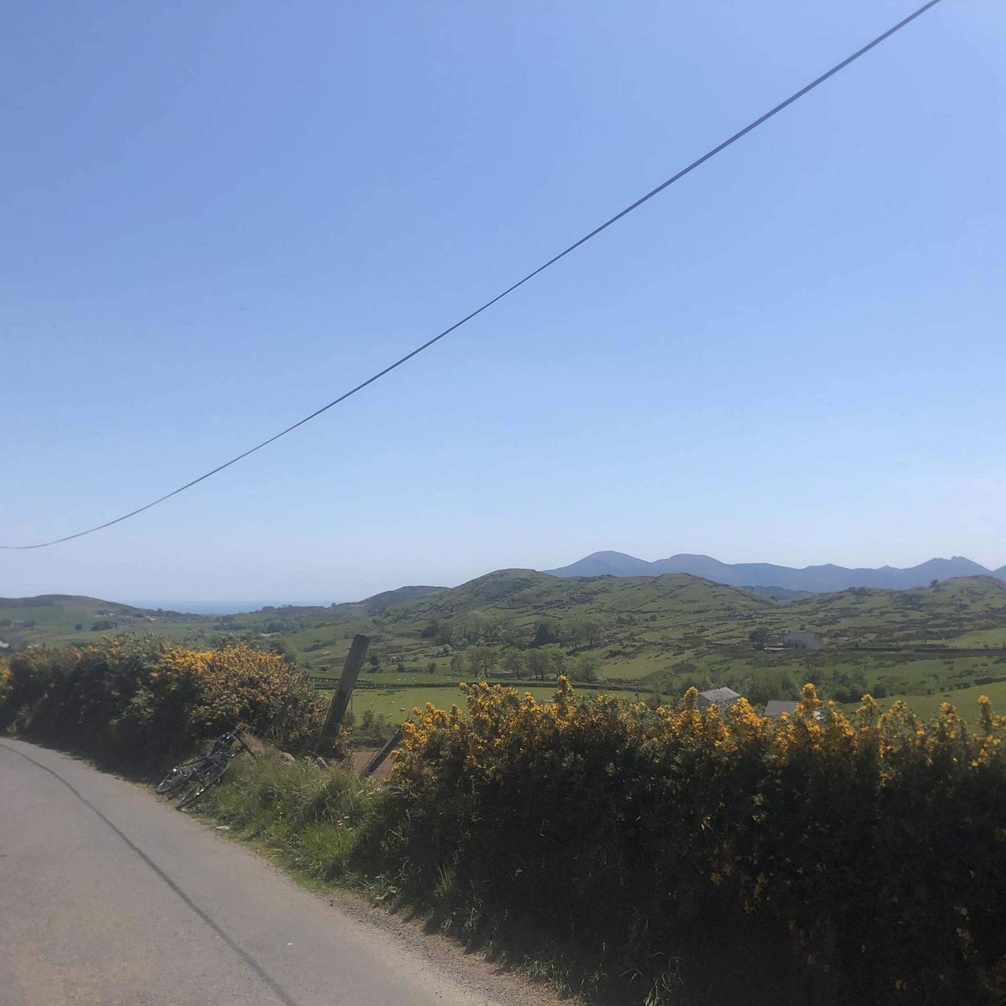
From this point in the park, you can enjoy sublime views toward the towering Mourne Mountains of Northern Ireland.
1
0
A winding path will lead you past a number of telecommunication towers up to the summit of Slieve Croob. There's some great views on offer here across County Down to the wonderful Mourne mountain range.
1
0
Slieve Croob stands at 534m and is the highest peak of the Dromara Hills, situated just north of the Mourne Mountains. From the summit, you can enjoy expansive views across County Down and toward the Mourne mountain range, a designated Area of Natural Beauty.
2
0

Good views and the most obvious spot to stop at the top of Dree hill, on the edge of Mourne AONB.
0
0

what a great day spent up slieve croob weather was fabulous.. handy enuff on a nice path even saw a few cyclists 👍
0
1

A small abandoned tower in between the duck ponds.
2
0

Tough climb to the summit, try and go on a clear day to get the best veiws.
1
0
Frequently Asked Questions
Where is the best place to park for hiking Slievenisky?
Most hikers start from the small parking area at Peter Morgan's Cottage, which is the traditional starting point for the Slievenisky and Slieve Croob loop. Parking is limited, so arriving early is recommended, especially on weekends.
Are dogs allowed on the trails around Slievenisky?
The slopes of Slievenisky and the surrounding Dromara Hills are actively grazed by sheep. Because of the livestock, it is strongly advised to keep dogs on a short lead at all times to ensure their safety and to avoid disturbing the animals.
What is the terrain like on the Slievenisky hikes?
The terrain is varied. Expect a mix of quiet country roads, open moorland with grassy and sometimes boggy tracks, and rocky outcrops. The ground can be uneven and wet in places, particularly near the source of the River Lagan. Sturdy, waterproof hiking boots are essential.
Are there any easy, family-friendly walks in the area?
Yes, for a gentler walk, the Slieve Croob — Mourne trail is a great option. It's a relatively short and easy route that still provides a sense of the mountain landscape without a major climb.
What should I pack for a hike in the Dromara Hills?
Waterproof hiking boots are a must due to marshy sections. The weather can change quickly, so pack waterproof outerwear, extra layers, and a hat and gloves. Also, bring enough water and snacks, as there are no facilities on the hills themselves. A map and compass or a fully charged phone with a GPS app are also highly recommended.
How does hiking Slievenisky compare to Slieve Donard?
Slievenisky and the Dromara Hills offer a much quieter, more solitary hiking experience compared to the often-crowded trails of Slieve Donard in the High Mournes. The ascents are generally less steep and the landscape is characterized by rolling, rugged moorland rather than dramatic granite peaks.
Are there any historical or cultural sites to see nearby?
Yes, a short distance from the main trails you can find the Legananny Dolmen, an iconic Neolithic portal tomb that is around 5,000 years old. It's one of the most photographed ancient monuments in Ireland and well worth a visit. You can find more information on local monuments from Visit Mourne Mountains.
What kind of wildlife might I see?
The area is excellent for birdwatching. Keep an eye on the sky for birds of prey like red kites and buzzards soaring over the hills. The landscape itself, part of the Mourne Gullion Strangford Geopark, supports hardy flora like heather, gorse, and various grasses adapted to the acidic soil.
Is there a good circular walk that isn't the main Slievenisky loop?
For a different kind of circular route, consider the Drumkeeragh Forest loop from Finnis. This easy walk takes you through sheltered woodland, offering a pleasant contrast to the exposed hilltops and is perfect for a less strenuous day.
What do other hikers enjoy most about the Slievenisky area?
The area is highly rated by the komoot community. Reviewers frequently praise the sense of peaceful isolation and the stunning panoramic views that stretch across County Down to the Mourne Mountains, Lough Neagh, and even the Isle of Man on a clear day.
How many hiking trails are available around Slievenisky?
There are over 50 hiking routes to explore around Slievenisky and the wider Dromara Hills. These range from easy forest walks to more challenging multi-peak circuits, offering plenty of options for all ability levels.
Most popular attractions around Slievenisky

Get inspired with the komoot mobile app


Explore more
Browse the best Hikes in other regions.
