The best walks and hikes around St. Stephens By Launceston Rural
4.0
(12)
101
hikers
11
hikes
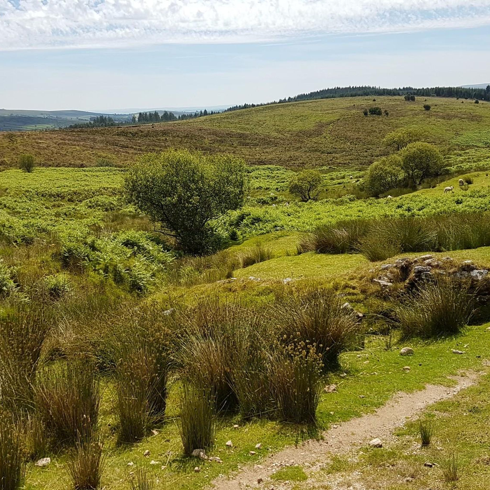
Hiking around St. Stephens By Launceston Rural features a landscape characterized by rolling hills, agricultural land, and pockets of woodland. The region includes historical sites and offers routes that often follow quiet country lanes and public footpaths. The Kensey Valley, an Area of Great Landscape Value, provides scenic routes, while the River Tamar forms the eastern boundary, offering riverside walks. Elevation changes are generally gentle, making many trails accessible for various fitness levels.
Best hiking trails around St. Stephens By Launceston Rural
- The most popular hiking route is Lezant Church loop from Lezant, a 3.4 miles (5.5 km) trail that takes 1 hour 30 minutes to complete. This easy route explores rural paths and countryside near Lezant.
- Another top favourite among local hikers is Launceston Castle loop from Launceston, a moderate 9.3 miles (14.9 km) path. This trail leads through varied terrain around historical sites, offering views of Launceston Castle.
- Local hikers also love the Landlake Wood loop from South Petherwin, a 7.1 miles (11.4 km) trail leading through woodlands and rural areas, often completed in about 3 hours 0 minutes.
- Hiking around St. Stephens By Launceston Rural is defined by rolling countryside, woodlands, and historical points of interest. The network offers options for both easy and moderate ability levels.
- The routes in St. Stephens By Launceston Rural are highly rated by the komoot community with an average score of 3.8 stars from over 5 reviews. More than 90 hikers have used komoot to explore St. Stephens By Launceston Rural's varied terrain.
Last updated: November 2, 2026
6
hikers
5.48km
01:30
90m
90m
Easy hike. Easily walkable paths.
5
hikers
5.00km
01:21
70m
70m
Easy hike. Easily walkable paths.

2
hikers
14.9km
04:00
180m
180m
Moderate hike. Good fitness required. Easily walkable paths.
1
hikers
11.4km
03:03
140m
140m
Moderate hike. Good fitness required. Easily walkable paths.
3.0
(1)
6
hikers
7.56km
02:08
160m
160m
Moderate hike. Good fitness required. Easily walkable paths.
Get access to more routes and recommendations from other explorers.
Already have an account?
Our route recommendations are based on thousands of hikes, rides, and runs completed by other people on komoot.
Start today with a free account
Your next adventure awaits.
Popular around St. Stephens By Launceston Rural

Tips from the Community

Once the ancient capital of Cornwall, Launceston is a market town with steep sided hills. It is often thought of as the gateway to Cornwall.
0
0
Launceston Castle was built shortly after the Norman Conquest in 1068. It's towering position high above the town means it can be seen from miles around. Launceston was once the capital of Cornwall but when this was changed to Bodmin, the castle fell into disrepair. It was used as a jail and then to host assizes, courts held in county towns presided over by a visiting judge.
0
1
Frequently Asked Questions
How many hiking trails are available in St. Stephens By Launceston Rural?
There are 11 hiking trails recorded in St. Stephens By Launceston Rural, offering a variety of experiences from easy strolls to more moderate adventures. Six of these are considered easy, and five are moderate.
What kind of terrain can I expect on hikes in St. Stephens By Launceston Rural?
The landscape around St. Stephens By Launceston Rural is characterized by rolling hills, agricultural land, and pockets of woodland. Many routes follow quiet country lanes and public footpaths, with generally gentle elevation changes.
Are there family-friendly hiking options in St. Stephens By Launceston Rural?
Yes, the area offers several easy trails suitable for families. For instance, the Great Hall loop from Launceston is an easy 2.8-mile (4.6 km) route that explores rural paths near Launceston, perfect for a family outing.
Can I bring my dog on the hiking trails in St. Stephens By Launceston Rural?
Many of the public footpaths and country lanes in St. Stephens By Launceston Rural are suitable for walks with dogs. However, please be mindful that you will often pass through agricultural land, so keeping dogs on a lead is recommended, especially near livestock. Always check local signage for specific restrictions.
Are there any circular walks in St. Stephens By Launceston Rural?
Yes, many of the trails in the area are circular, allowing you to start and end at the same point. Examples include the Lezant Church loop from Lezant, an easy 3.1-mile (5.0 km) path offering countryside views, and the more challenging Launceston Castle loop from Launceston.
What are some notable landmarks or attractions I can see while hiking?
Several trails offer views of or pass by historical sites and points of interest. For example, the Launceston Castle loop from Launceston leads through varied terrain around historical sites, including Launceston Castle itself. Other nearby attractions include Warbstow Bury Hillfort and St Nonna's Church.
What is the best time of year to go hiking in St. Stephens By Launceston Rural?
Spring and summer offer pleasant conditions with warmer weather and blooming landscapes, ideal for enjoying the rolling hills and woodlands. Autumn brings beautiful foliage. While winter hiking is possible, paths can be muddy, so appropriate footwear is essential.
Are there opportunities for a pub lunch or refreshments along the trails?
While specific routes may not always pass directly by pubs, the area around St. Stephens By Launceston Rural and nearby Launceston offers various options for refreshments. You might find local pubs in villages or cafes like the Upper Tamar Lake Café, which could be a short detour from some routes.
What is the typical duration of hikes in this region?
Hike durations vary depending on the route and your pace. Easy trails like the Great Hall loop from Launceston can take just over an hour, while moderate routes such as the Landlake Wood loop from South Petherwin, at 7 miles (11.4 km), might take around 3 hours.
What do other hikers enjoy most about hiking in St. Stephens By Launceston Rural?
The area is highly rated by the komoot community, with an average score of 3.8 stars. Reviewers often praise the peaceful countryside, the accessibility of the trails, and the blend of natural beauty with historical points of interest.
Is parking readily available for trailheads?
Parking availability can vary by trailhead. Many routes start from villages or near popular attractions where public parking may be available. When planning your hike, it's advisable to check the starting point of your chosen route on komoot for specific parking information or nearby options.
Most popular routes around St. Stephens By Launceston Rural
Most popular attractions around St. Stephens By Launceston Rural

Get inspired with the komoot mobile app


Explore more
Browse the best Hikes in other regions.
