The best walks and hikes around Churcham
4.5
(310)
2,634
hikers
255
hikes
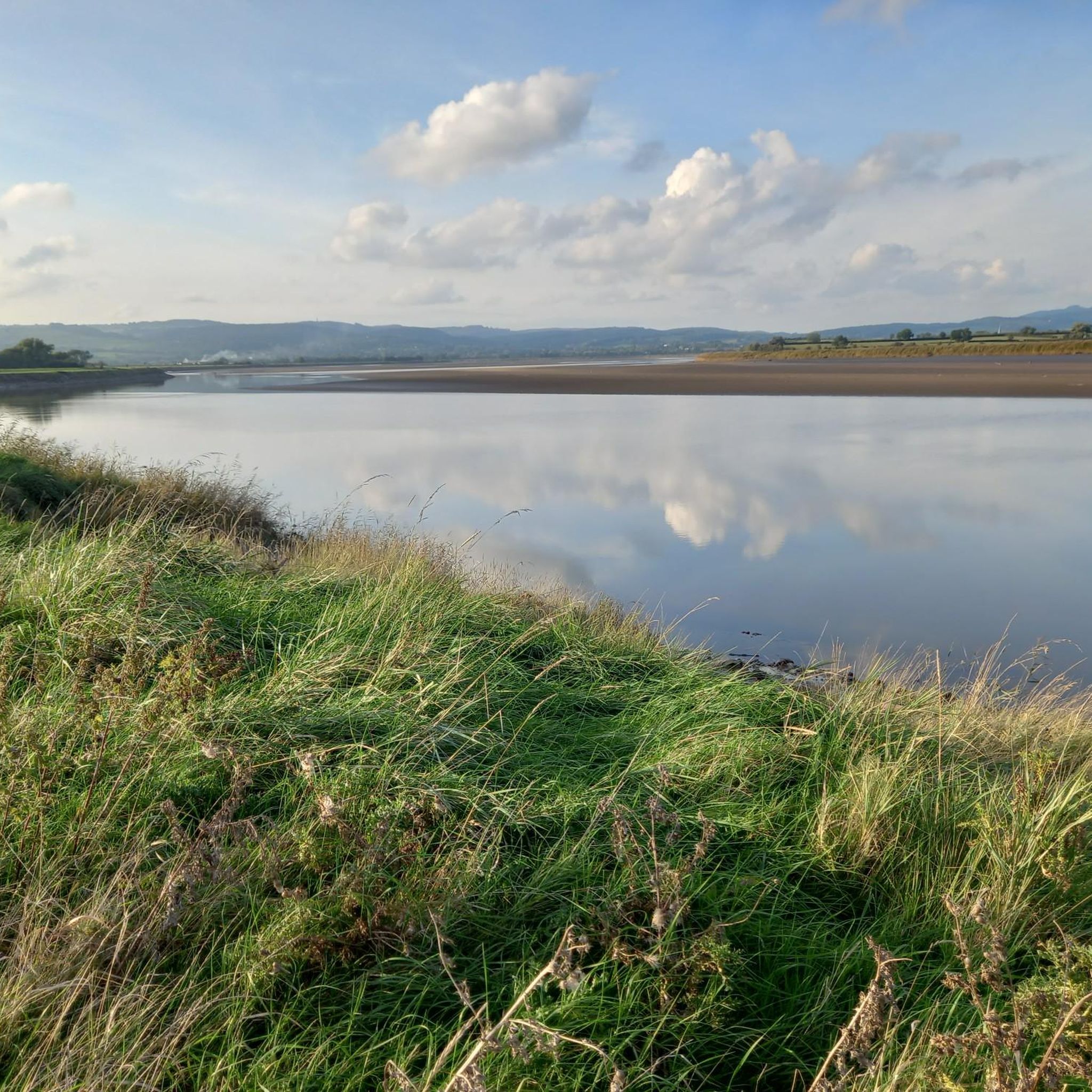
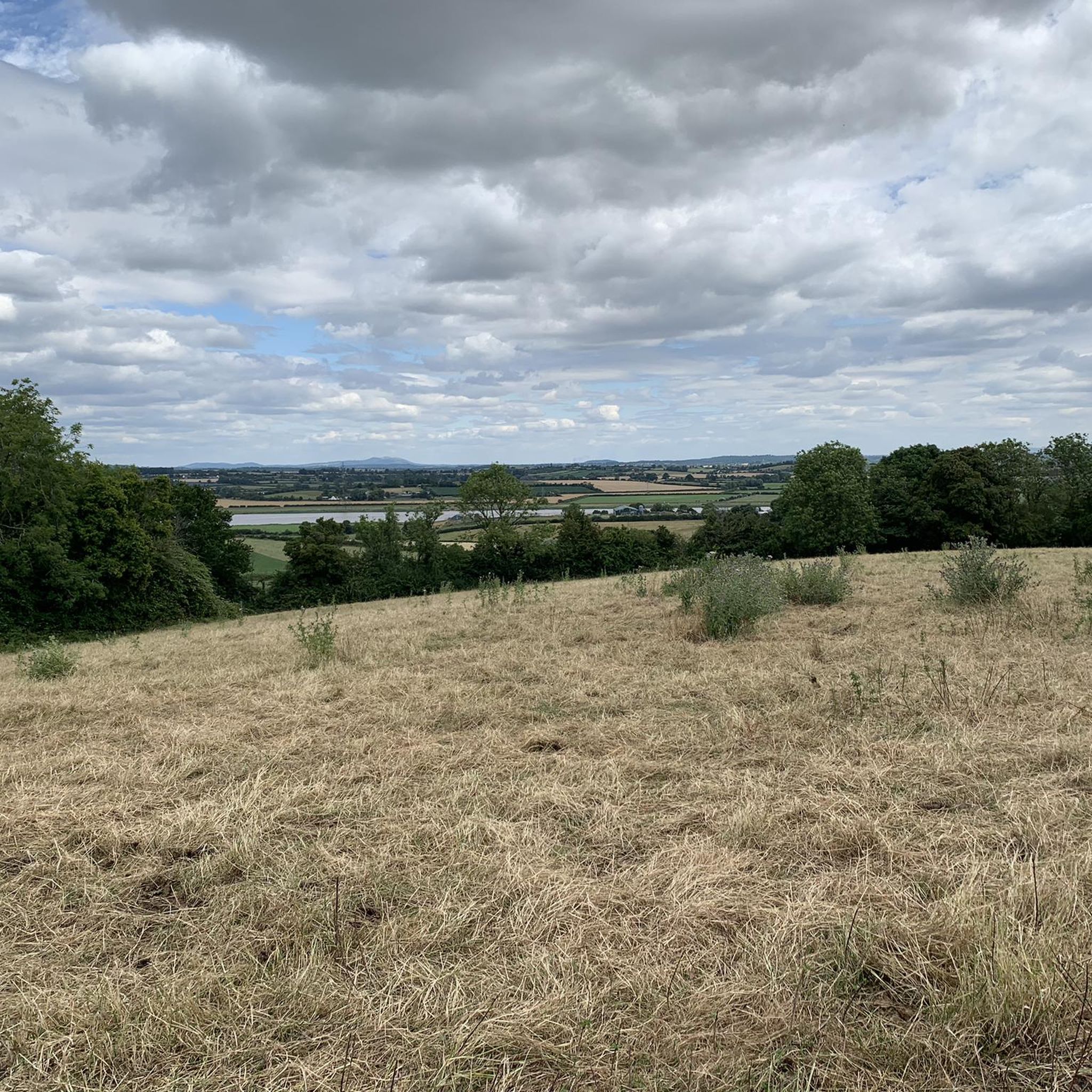
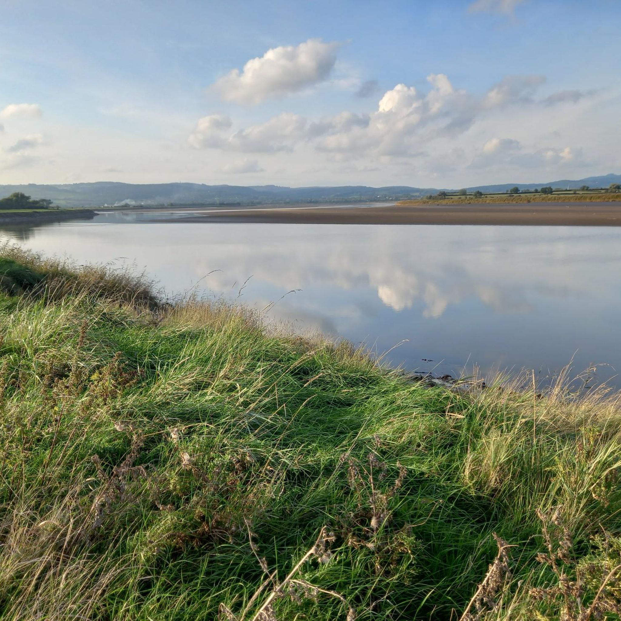
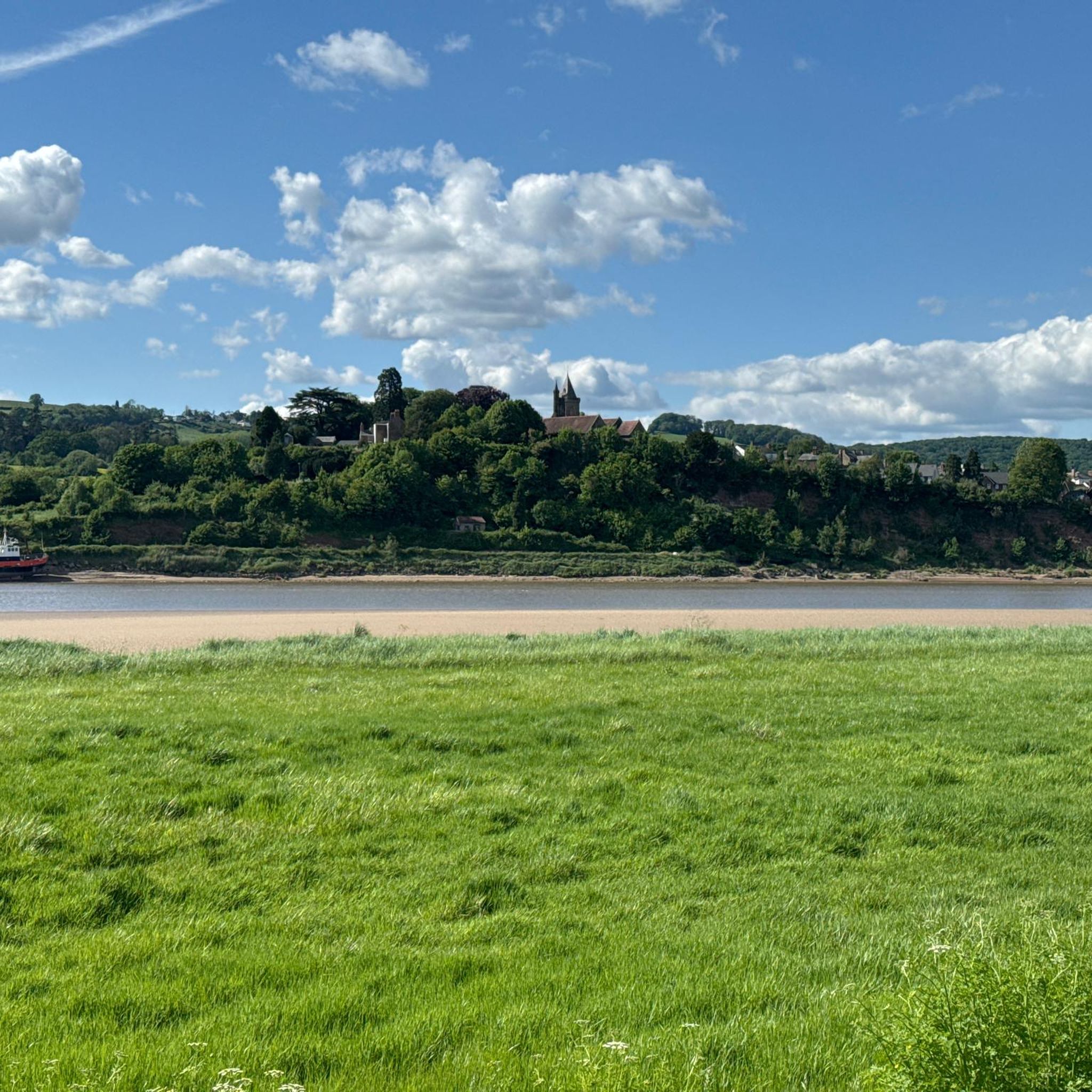
Hikes around Churcham explore the varied landscapes of Gloucestershire, situated between the Forest of Dean and the River Severn. The terrain is characterized by a mix of gentle riverside paths, rolling hills, and ancient woodlands. This provides a range of walking trails suitable for different fitness levels, from flat routes along the river to more demanding ascents like May Hill.
Best hiking trails around Churcham
- The most popular hiking route is Old Water Tower – May Hill South Side Path…
Last updated: July 5, 2026
4.0
(1)
5
hikers
8.56km
02:10
20m
20m
Moderate hike. Good fitness required. Easily-accessible paths. Suitable for all skill levels.
4.0
(2)
6
hikers
9.22km
02:50
330m
330m
Moderate hike. Good fitness required. Easily-accessible paths. Suitable for all skill levels.

Sign up for free
4.0
(3)
5
hikers
5.28km
01:20
10m
10m
Easy hike. Great for any fitness level. Easily-accessible paths. Suitable for all skill levels.
5.0
(2)
5
hikers
5.62km
01:27
30m
30m
Easy hike. Great for any fitness level. Easily-accessible paths. Suitable for all skill levels.
5.0
(2)
10
hikers
6.01km
01:54
250m
250m
Easy hike. Great for any fitness level. Easily-accessible paths. Suitable for all skill levels.
Get access to more routes and recommendations from other explorers.
Sign up for free
Already have an account?
Our route recommendations are based on thousands of hikes, rides, and runs completed by other people on komoot.
Start today with a free account
Your next adventure awaits.
Login or Signup

Tips from the Community

Enjoy the walk up from Clifford Mesne, and then taken in the expansive views. Don't miss the copse at the top, planted to commemorate Queen Victoria's Golden Jubilee.
0
0


Doable on an MTB, but not by me without an electric motor.
0
0


While county borders are often marked with road signs, these boundary markers are notable for their attractive stone carvings. Set into the wall on the hike up to May Hill, Herefordshire and Gloucestershire are carved into stone on their respective sides. The Geopark Way, a long-distance hiking trails passes immediately by while the Gloucestershire Way and the Wysis Way also cross the summit of the hill.
0
0
Frequently Asked Questions
Are there many circular walks available around Churcham?
Yes, the area is well-suited for circular walks. You can find a variety of loops that take you through different landscapes, from riverside paths to woodland trails. For an easy outing, the Church Covert loop from Elmore is a pleasant 5.3 km walk through the countryside.
What are the best dog-friendly walks in the Churcham area?
Most of the public footpaths around Churcham are great for walking with a dog. The wide-open spaces of Alney Island Nature Reserve are particularly popular with dog walkers. For a specific trail, the Footpath to Daniels Brook is often praised by locals as being very dog-friendly.
Can you recommend a good family-friendly or pushchair-accessible walk?
For families, the flatter terrain along the River Severn or within local nature reserves is ideal. The Alney Island Nature Reserve offers serene paths suitable for walking and bird watching. For an easy woodland walk that's great for children, the Stone Picnic Table in Bulley loop from Tibberton is a good choice.
Are there any challenging hikes with good views?
For a more challenging walk with rewarding views, the ascent of May Hill is the best option. From the summit, you can see across the Severn Plain to the Malvern Hills and the Cotswold Escarpment. The Old Water Tower – May Hill South Side Path loop from Huntley is a popular route that includes this invigorating climb.
Where can I find a relatively flat walk?
The paths along the River Severn provide the best opportunities for flat, easy-going walks. These routes let you enjoy the waterside scenery and rich birdlife without any significant climbs. The River Severn Path loop from Elmore is a moderate waterside walk that is almost entirely flat.
Are there any walks that include a pub stop?
Many of the villages surrounding Churcham, such as Huntley and Tibberton, have traditional pubs that are perfect for a post-hike refreshment. Planning a circular route like the Old Water Tower loop from Huntley allows you to start and end in a village where you can easily find a local pub.
What is the terrain like on the trails around Churcham?
The terrain is quite varied. You'll find flat, easy-going paths along the River Severn and Gloucester and Sharpness Canal. In contrast, areas like May Hill offer steep, challenging ascents on woodland and hillside tracks. Many routes are on public footpaths which can be grassy and muddy after rain, so sturdy footwear is recommended.
Where can I find free parking for a walk?
Many walks start from villages like Huntley, Elmore, or Tibberton, where you can often find free on-street parking. For dedicated walks, landmarks like May Hill have small, informal parking areas at their base. Always check for local parking restrictions before leaving your car.
When is the best time to see the bluebells in Lassington Wood?
The bluebells in Lassington Wood typically create a stunning display in late April and early May. This mature, mixed woodland offers a network of footpaths perfect for a peaceful walk during the spring bloom. For more information on the area, you can visit the Highnam Heritage site.
How many hiking trails are there to choose from near Churcham?
There are over 200 hiking routes to explore in the wider Churcham area. These range from short, easy strolls of just a few kilometers to more demanding all-day hikes, with about 140 trails rated as easy and 100 as moderate.
What do other hikers think of the trails in this area?
The hiking routes around Churcham are highly regarded by the komoot community, with over 2,300 hikers having explored the area. The trails have earned an average rating of 4.5 stars, with reviewers often praising the mix of riverside scenery, woodland paths, and panoramic hill views.
Most popular attractions around Churcham

Get inspired with the komoot mobile app


Explore more
Browse the best Hikes in other regions.
