The best walks and hikes around Redmarley D'Abitot
4.5
(1117)
8,653
hikers
176
hikes
Hikes around Redmarley D'Abitot explore the landscape of Gloucestershire, characterized by rolling hills, river valleys, and sections of the Malvern Hills. The terrain includes gentle ascents, farmland paths, and woodland trails. The region's geology is notable for its red sandstone, which influences the color of the soil and local buildings.
Best hiking trails around Redmarley D'Abitot
- The most popular hiking route is Ragged Stone and Chase End Hills loop from Hollybush — Malvern Hills, a 3.2 mile (5.1 km) trail that takes around 1 hour 32 minutes to complete. This route offers an accessible way to experience the southern end of the Malvern Hills.
- Another top favourite among local hiking enthusiasts is Millennium Hill – Swinyard Hill loop from Midsummer Hill, a moderate 5.6 mile (9.0 km) path. The trail involves ascents over several hills, providing views across the surrounding countryside.
- Local hiking enthusiasts also love the Hollybush to North Hill via Herefordshire Beacon — Malvern Hills, a 13.6 mile (21.8 km) trail leading through the Malvern Hills, often completed in about 6 hours 40 minutes.
- Hiking around Redmarley D'Abitot is defined by the rolling hills of the Leadon Valley, ancient woodlands, and the prominent ridges of the Malvern Hills. The network of paths provides options for various fitness levels, from short, easy walks to more demanding long-distance hikes.
- The routes in Redmarley D'Abitot are highly rated by the komoot community with an average score of 4.5 stars from over 900 reviews. More than 7,700 hikers have used komoot to explore Redmarley D'Abitot's varied terrain.
Last updated: June 25, 2026
4.8
(83)
910
hikers
21.8km
06:41
770m
770m
The Three Choirs Way: Malvern Hills offers a challenging hike across varied terrain with spectacular scenery. You'll experience continuous ascents and descents along the ridge, providing expansive panoramic views eastward across the Severn Vale and westward towards Herefordshire. This difficult route covers 13.6 miles (21.8 km) and involves a significant elevation gain of 2530 feet (771 metres). Plan for an estimated duration of 6 hours and 40 minutes to complete this rewarding journey. As you hike, keep an eye out for historical landmarks like the Iron Age hill fort of Herefordshire Beacon, also known as British Camp. The path can be technical and muddy in places, especially after rain, adding to the adventure.
When planning your visit to the Malvern Hills section of the Three Choirs Way, be prepared for a demanding day on the trails. The route is known for its exposed sections, so check the weather forecast carefully before you set out. It's advisable to carry sufficient water and snacks, as facilities along the ridge are limited. Consider starting early in the day to allow ample time to complete the full distance before sunset. Parking is available at various points around the Malvern Hills, but specific trailhead access details should be confirmed beforehand.
This section of the Three Choirs Way is part of a longer, historic route connecting the cathedral cities of Gloucester, Hereford, and Worcester. The Malvern Hills themselves are an Area of Outstanding Natural Beauty, characterized by ancient rocks and unique geology. The trail follows the undulating spine of these hills, offering a distinct experience compared to the surrounding lowlands. Its prominence in the landscape has made it a significant location for centuries, evident in the ancient earthworks you'll encounter.
4.3
(4)
17
hikers
5.10km
01:32
160m
160m
Easy hike. Great for any fitness level. Easily-accessible paths. Suitable for all skill levels.

Sign up for free
4.5
(102)
544
hikers
9km
02:42
280m
280m
Moderate hike. Good fitness required. Easily-accessible paths. Suitable for all skill levels.
4.7
(19)
183
hikers
15.2km
04:22
380m
380m
Moderate hike. Good fitness required. Easily-accessible paths. Suitable for all skill levels.
4.9
(7)
106
hikers
15.5km
04:41
500m
500m
Moderate hike. Good fitness required. Easily-accessible paths. Suitable for all skill levels.
Get access to more routes and recommendations from other explorers.
Sign up for free
Already have an account?
Our route recommendations are based on thousands of hikes, rides, and runs completed by other people on komoot.
Start today with a free account
Your next adventure awaits.
Login or Signup
Tips from the Community

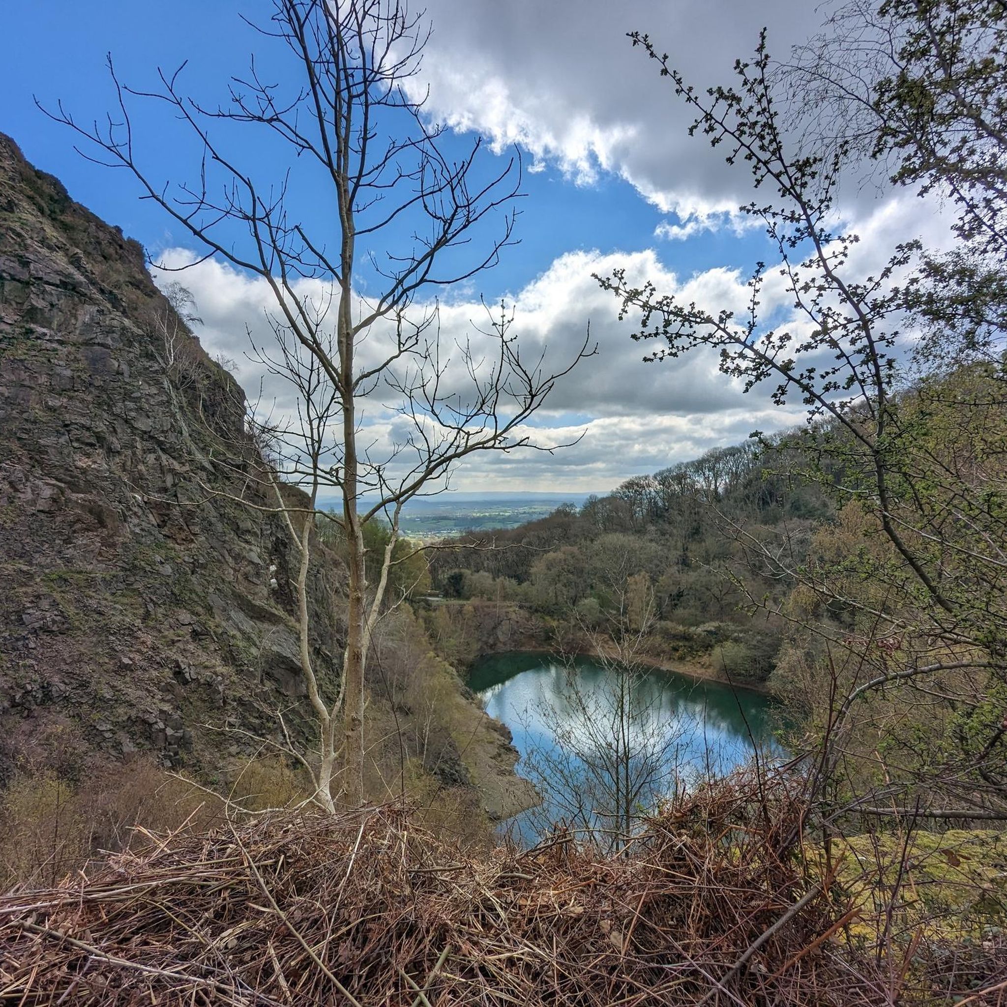
Lovely quarry and very to follow the route up to the top.
0
0
Small little cave but great to get out of the rain/sun for a quick drink and snack.
0
0

Pinnacle Hill isn't really much of a pinnacle, but it is the highest point between the Wyche and Wynds Point, and as such is a fine viewpoint in both directions.
0
0
This little top is a fine viewpoint both north to Perseverance Hill and beyond to the Worcester Beacon, and south to Pinnacle Hill.
0
0
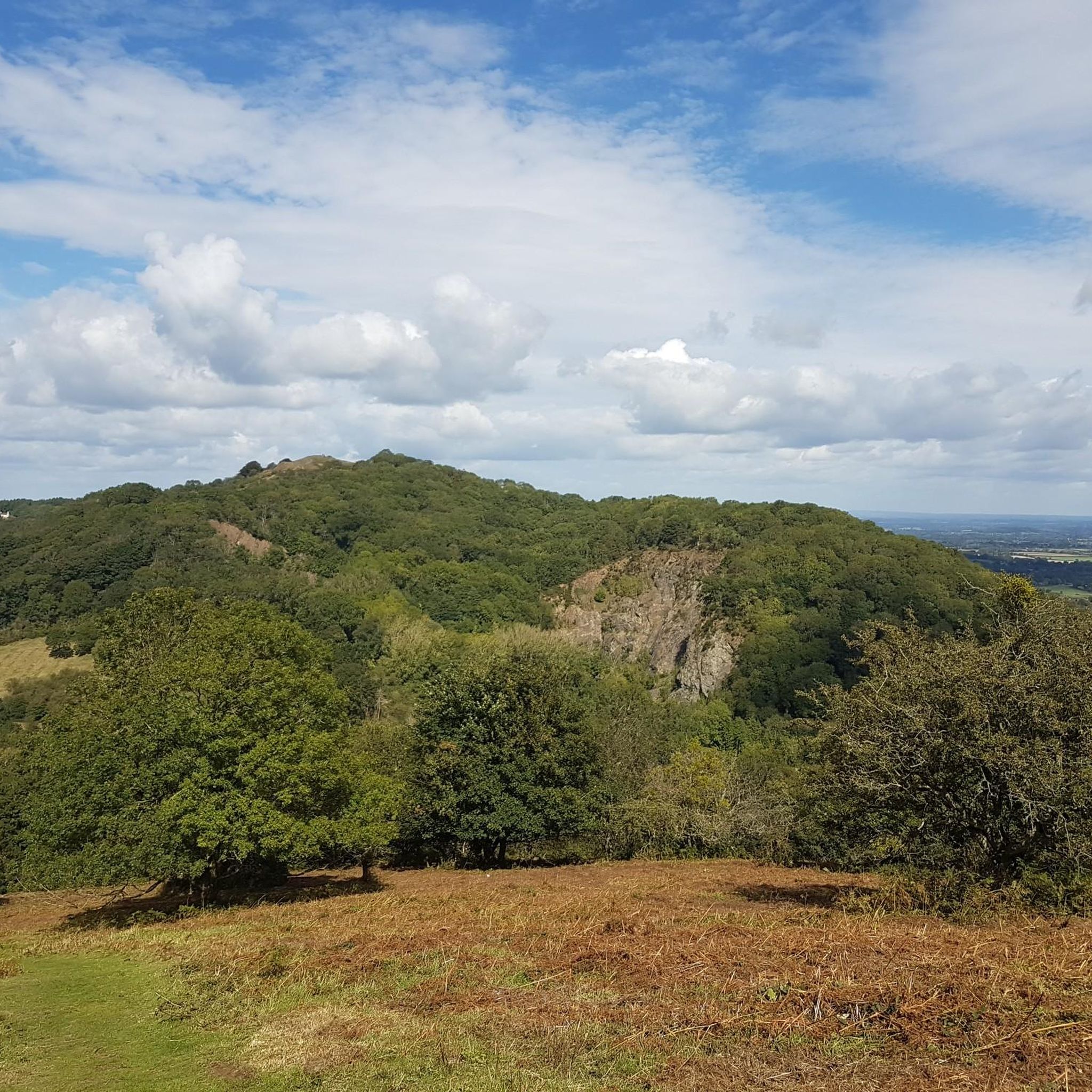
One of the finest hills in the Malverns with it's Iron Age Hillfort (yes another one on the Malverns!), and superb views west across Eastnor Park. It used to be heavily wooded on the Eastern Side, but Ash Die-back disease has caused a huge number of large mature Ash trees to be felled in recent times. This is still a hill to be savoured and you will not see too many people here either.
0
0
There are quite a number of these direction arrow stones on the Malverns, they look good and they are very informative.
0
0
This is quite a spectacular place but quite rightly the Conservators and local authorities have securely fenced it off as there have been a large number of drownings here over the years. People have jumped off the low cliffs inot the freezing cold water and have also collided with old machinery and vehicles that are hidden under the water.
0
0
The other end of Hereford beacon, with good views of the Eastnor Estate with it's obelisk.
0
0
Frequently Asked Questions
Are there many circular walks starting from Redmarley D'Abitot?
Yes, the area is well-suited for circular walks. Many trails begin in the village and loop through the surrounding countryside, such as the scenic Leadon Valley. You can find routes of varying lengths, allowing you to return to your starting point without retracing your steps.
Can I bring my dog on hikes around Redmarley D'Abitot?
Many trails in the region are dog-friendly, but it's important to be mindful of the landscape. You'll be walking through farmland with livestock, so always keep your dog on a lead in these areas. Also, be aware of local signage regarding ground-nesting birds, especially in the Malvern Hills.
What are some good options for family-friendly walks?
The region offers several easier hikes perfect for a family outing. The Ragged Stone and Chase End Hills loop is a great choice, offering an accessible way to experience the Malvern Hills without a major climb. For a different experience, Crickley Hill Country Park is a popular spot with multiple trails, a cafe, and picnic areas.
Where can I park for a walk in the Redmarley D'Abitot area?
For walks starting in the village itself, on-street parking is available but can be limited, so please park considerately. For routes in the Malvern Hills, designated car parks are available at places like Hollybush and British Camp, though these often require payment.
Are there any challenging, long-distance hikes available?
Yes, for experienced hikers seeking a challenge, the Hollybush to North Hill trail covers over 13 miles along the spine of the Malvern Hills. This demanding route involves significant elevation gain and rewards you with extensive views.
What is the terrain like on the trails?
The hiking terrain is quite varied. You'll find gentle paths through the Leadon Valley, characterized by its distinctive red soil. In contrast, trails in the Malvern Hills involve steeper climbs and descents on well-trodden, sometimes rocky, paths along exposed ridges.
Are there any hikes that include historical points of interest?
Many walks in the area pass by sites of historical interest. For example, the Millennium Hill – Swinyard Hill loop starts near Midsummer Hill, the site of an Iron Age hillfort. Other routes in the Leadon Valley take you past historic buildings like Pauntley Court.
What kind of scenery can I expect to see?
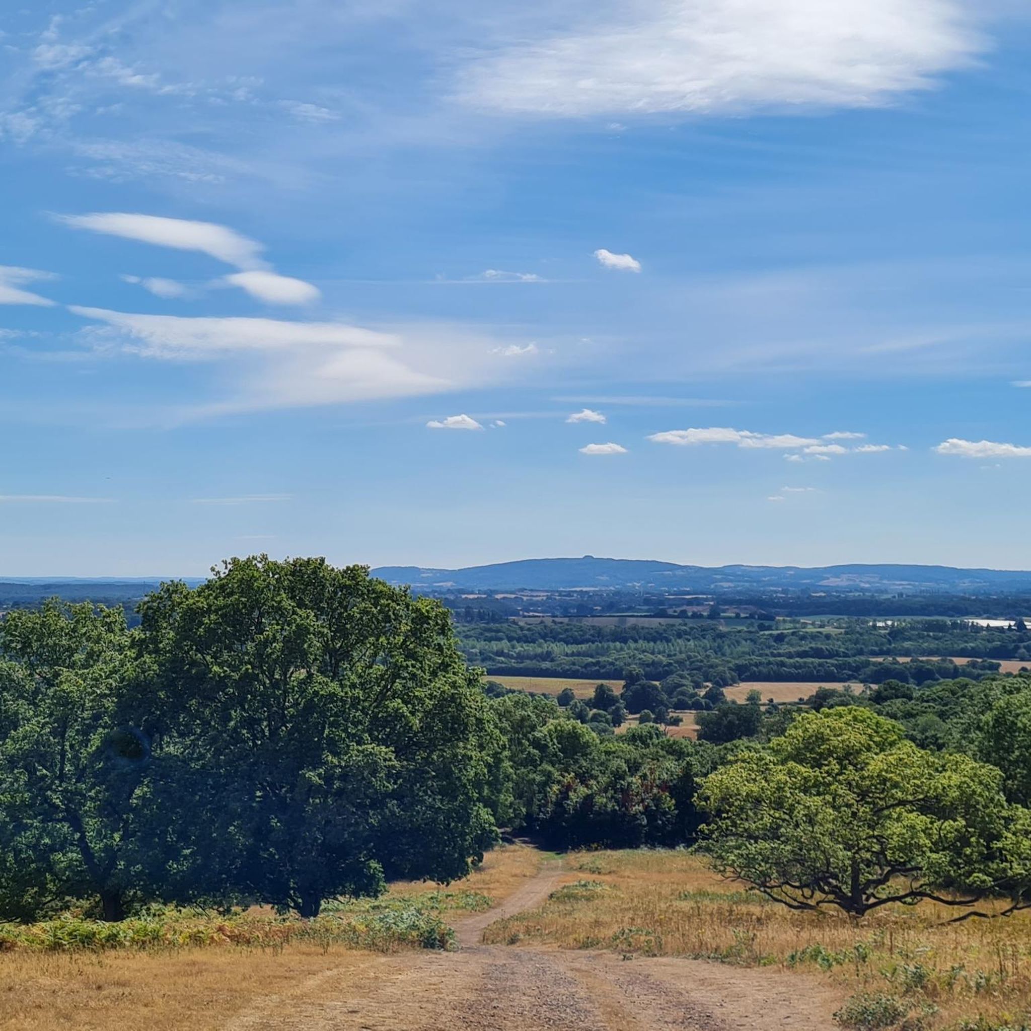
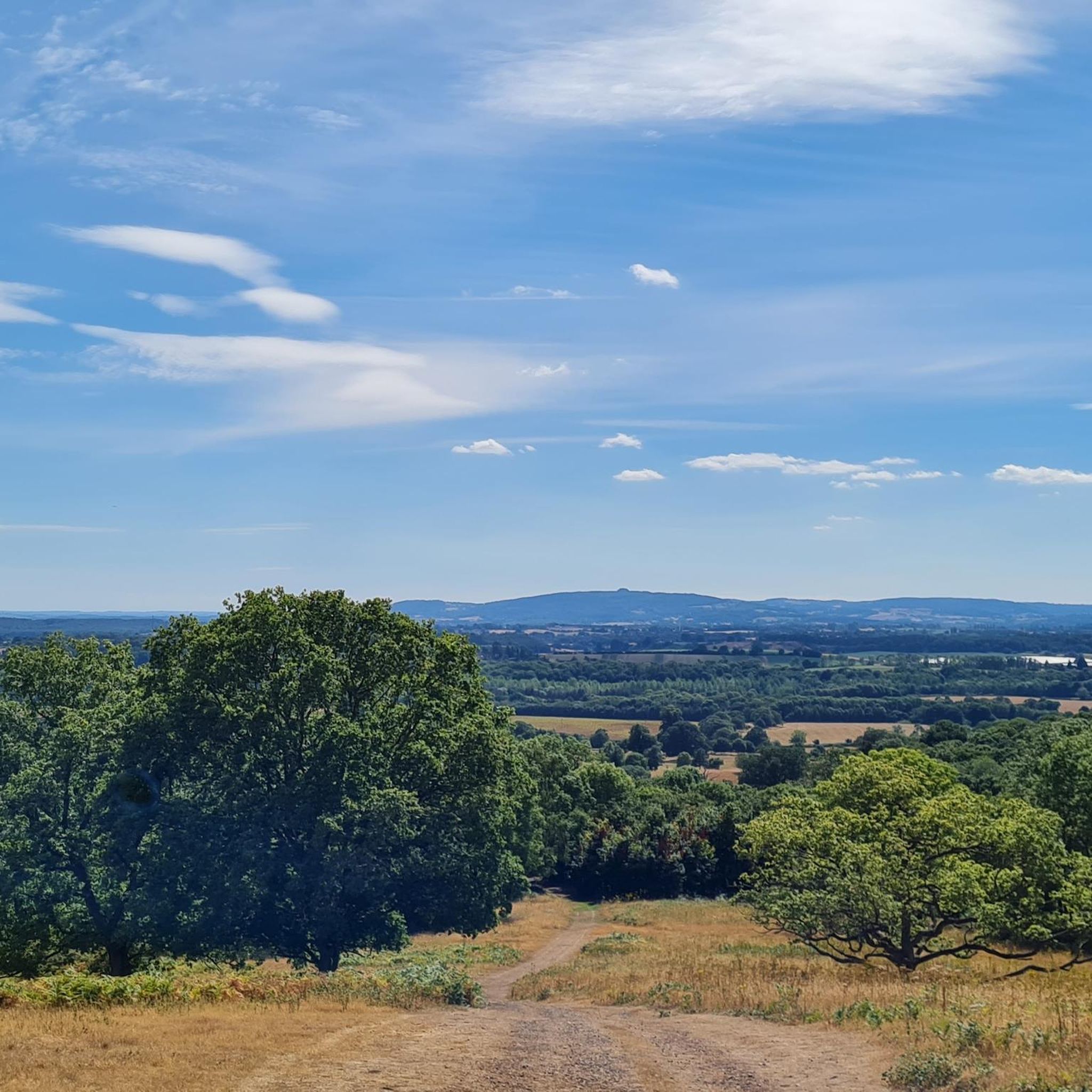
The scenery is a key highlight. Expect panoramic views from the Malvern Hills, looking out towards the Forest of Dean and May Hill. In the valleys, you'll find picturesque stretches along the River Leadon, passing through woodlands of oak and beech, and past fields and traditional farms.
How many hiking trails are there around Redmarley D'Abitot?
There are over 170 hiking routes to explore in the area. These range from short, easy strolls to moderate loops and difficult all-day treks, offering plenty of options for every fitness level.
What do other hikers think of the trails in this region?
The area is highly regarded by the komoot community, with trails receiving an average rating of 4.5 stars. Hikers often praise the stunning panoramic views from the Malvern Hills and the peaceful, rolling countryside of the Leadon Valley.
Are there any moderate hikes that offer good views?
For a moderately challenging hike with rewarding views, consider the Swinyard Hill – Millennium Hill loop from Midsummer Hill. This route is over 9 miles long and includes several ascents in the Malvern Hills, providing excellent vistas without the full commitment of an end-to-end trek.
Can I get to the trailheads using public transport?
Accessing trailheads directly by public transport can be challenging as Redmarley D'Abitot is a rural village. Most visitors find it easiest to travel by car. It is recommended to check local bus schedules for services to nearby larger towns, but be prepared for a walk to reach the start of most routes.
Most popular attractions around Redmarley D'Abitot

Get inspired with the komoot mobile app


Explore more
Browse the best Hikes in other regions.
