The best running trails around Moreton Valence
4.5
(73)
9,711
runners
506
runs
Jogging around Moreton Valence offers a variety of routes through the region's flat and gently undulating landscape. The area is characterized by its network of canals, including the Stroudwater Navigation and Gloucester and Sharpness Canal, providing level paths suitable for running. Open fields and riverside trails are common, with minimal elevation changes. The terrain primarily consists of well-maintained paths and towpaths, making it accessible for different running preferences.
Best jogging routes around Moreton Valence
- The most popular jogging route is…
Last updated: July 6, 2026
222
runners
Hard run. Very good fitness required. Mostly paved surfaces. Suitable for all skill levels.
14
runners
Hard run. Very good fitness required. Mostly paved surfaces. Suitable for all skill levels.

Sign up for free
10
runners
Easy run. Great for any fitness level. Mostly paved surfaces. Suitable for all skill levels.
9
runners
10.0km
01:02
10m
10m
Moderate run. Good fitness required. Mostly paved surfaces. Suitable for all skill levels.
13
runners
13.5km
01:28
60m
60m
Moderate run. Good fitness required. Mostly paved surfaces. Suitable for all skill levels.
Get access to more routes and recommendations from other explorers.
Sign up for free
Already have an account?
Our route recommendations are based on thousands of hikes, rides, and runs completed by other people on komoot.
Start today with a free account
Your next adventure awaits.
Login or Signup
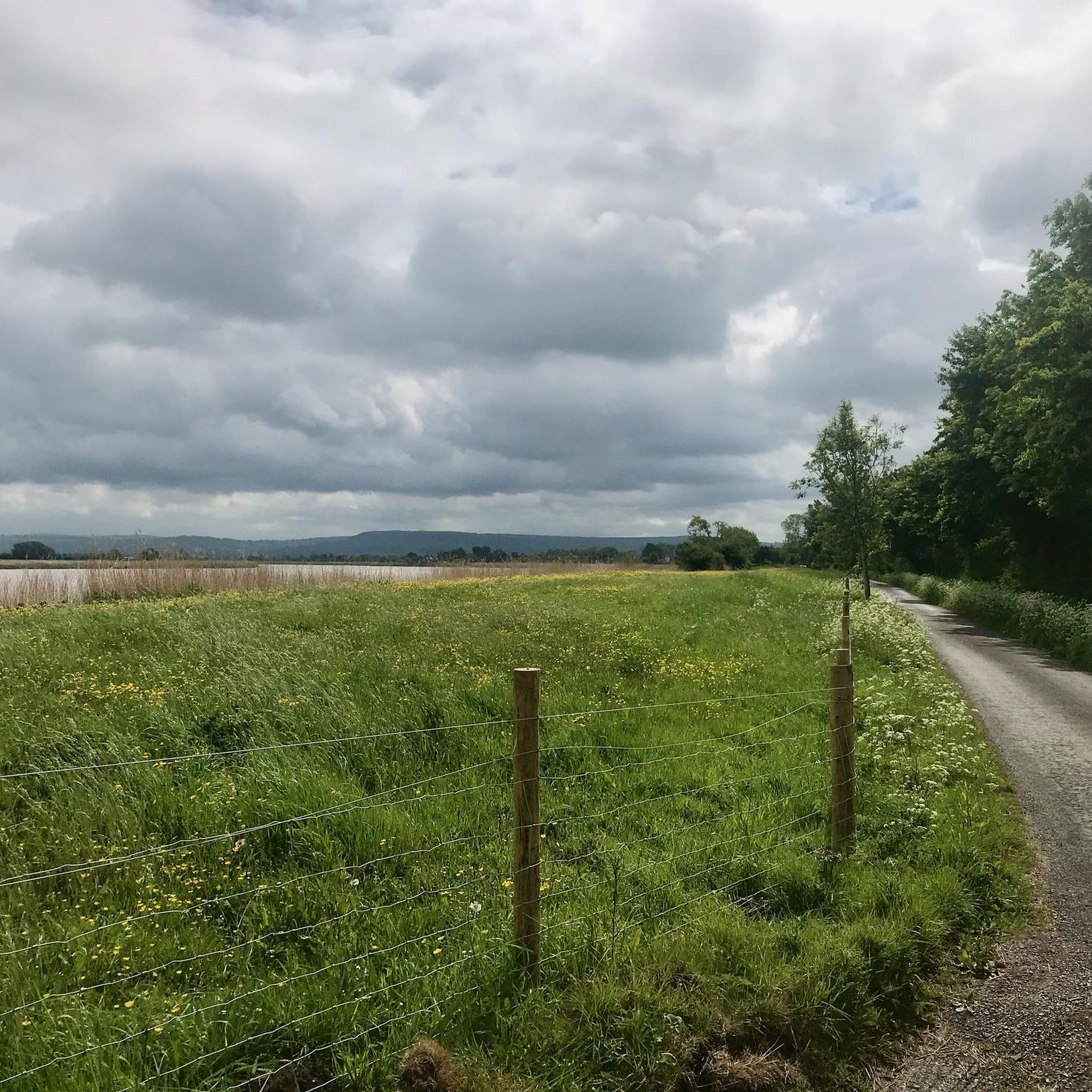
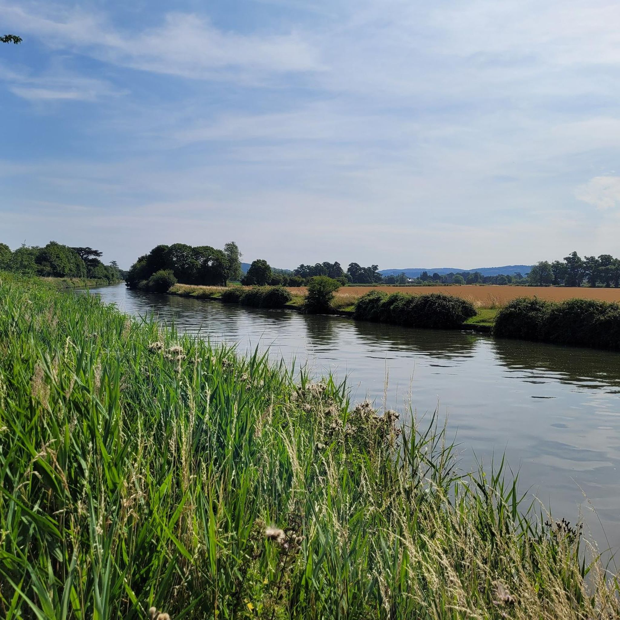
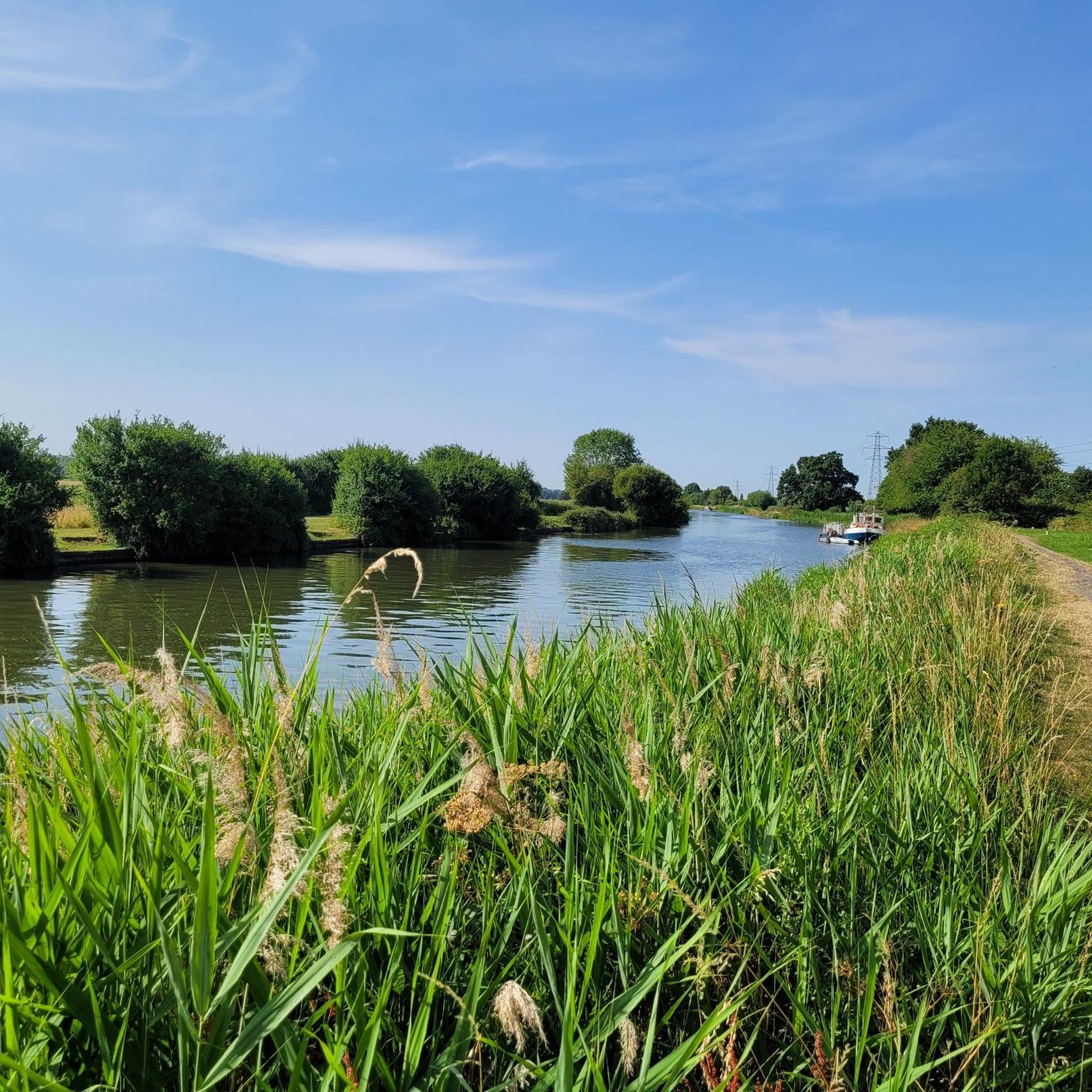
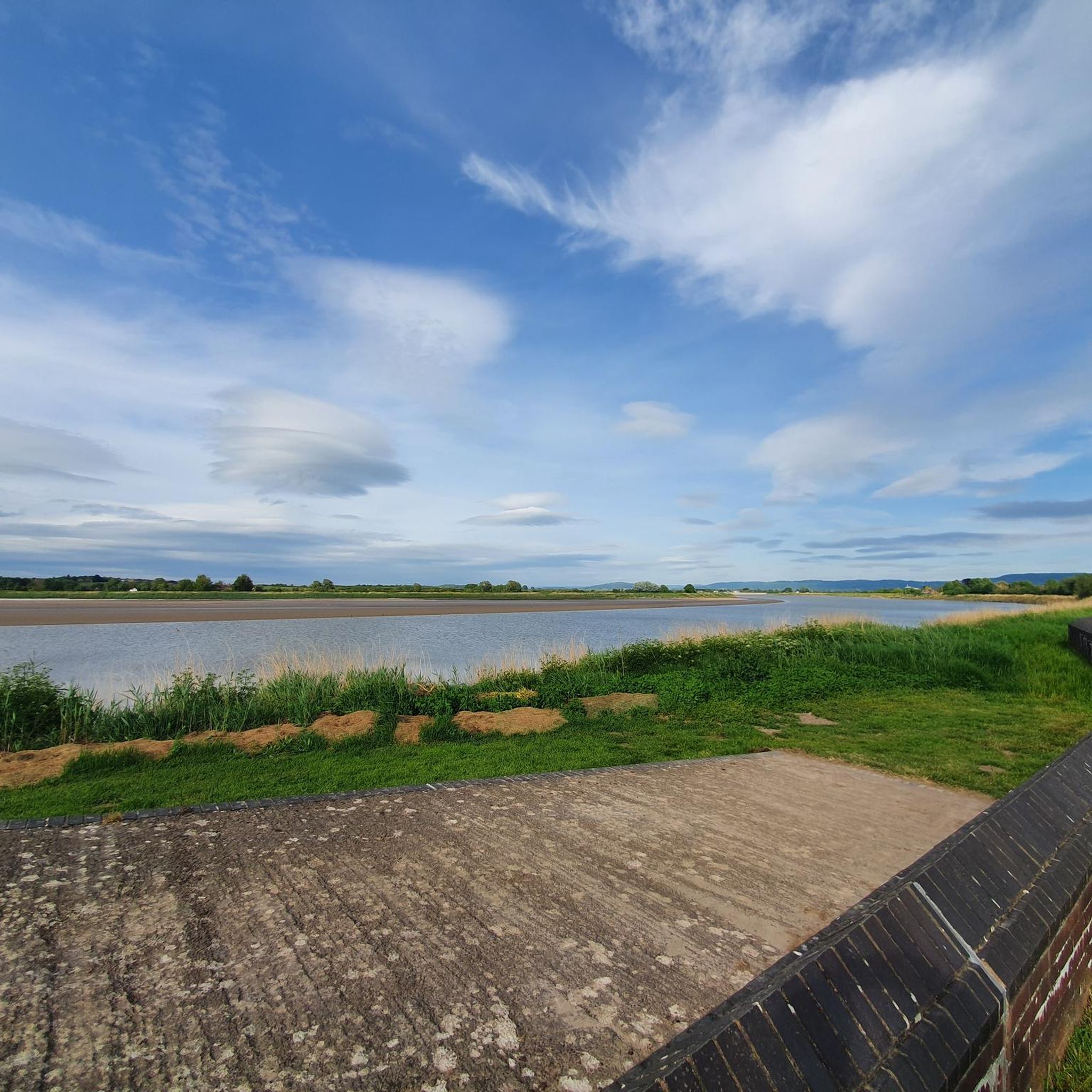
Tips from the Community

What a gem this place is. Homemade food, great staff, a warm welcome and very popular with lovely views of the canal
0
0

We were a team of six doing the LEJOG and this was a great stop for us. Very bike friendly with great food.
0
0


The website is now https://www.blackshedslimbridge.co.uk/
0
0

Doing a circuit from Saul Junnction along the canal towards Splatt Bridge, back through Frampton village - two pubs and a cafe - enjoying what is said to be the longest village green in England. Rejoin the canal at Fretherne Bridge and retrace your steps to Saul Junction. 7kms.
0
0

This unique looking coffee and wine bar set alongside the Stroudwater Navigation is the perfect place to stop and refuel on your afternoon stroll. Its shabby-chic interior and picturesque terrace overlooking the canal are the perfect location to wash down a delicious beverage or lunchtime snack.
1
0

A scenic stretch of the ride alongside the River Severn. A great place to spot vast flocks of birds over the water.
0
0

The Anchor Inn serves drinks, snacks and traditional pub food. Open 11:30 - 22:00.
0
0
Frequently Asked Questions
How many running routes are available in Moreton Valence?
There are over 480 running routes around Moreton Valence, catering to various preferences and fitness levels. These include nearly 60 easy routes, over 340 moderate options, and 77 more challenging trails.
Are there easy running routes for beginners in Moreton Valence?
Yes, Moreton Valence offers nearly 60 easy running routes. The region's flat and gently undulating landscape, particularly along the canal towpaths, provides ideal conditions for beginners or those seeking a relaxed run. These paths often have minimal elevation changes, making them very accessible.
What kind of terrain can I expect on running trails in Moreton Valence?
Running trails in Moreton Valence are primarily characterized by well-maintained paths and towpaths along its network of canals, such as the Stroudwater Navigation and Gloucester and Sharpness Canal. You'll also find routes through open fields and alongside rivers, generally featuring flat or gently undulating terrain with minimal elevation changes.
Are there any long-distance running trails in the area?
Yes, Moreton Valence has several long-distance running trails. For example, the The Black Shed, Patch Bridge – Frampton Canal Bridge loop from Whitminster is a difficult 12.4-mile (19.9 km) path featuring flat canal-side running with open views. Another option is the Stroudwater Navigation – St. Cyr’s Church, Stonehouse loop from Whitminster, an 11.4-mile (18.4 km) route that follows canal paths.
What do other runners enjoy most about jogging in Moreton Valence?
The running routes in Moreton Valence are highly rated by the komoot community, with an average score of 4.6 stars from around 70 reviews. Runners often praise the peaceful canal towpaths, open field views, and the accessibility of the terrain for various ability levels. Over 9,000 runners have used komoot to explore the area's varied landscape.
Are there any circular running routes in Moreton Valence?
Many of the running routes in Moreton Valence are circular, offering convenient starting and ending points. An example is the Saul Junction – View of the River Severn loop from Longney, a 6.2-mile (10.0 km) trail that takes you along canal towpaths and provides glimpses of the River Severn.
Can I find running routes that pass by interesting landmarks or viewpoints?
Yes, several routes offer scenic views and pass by points of interest. While running, you might catch glimpses of the River Severn or pass by areas like Haresfield Beacon or Painswick Beacon, which offer elevated perspectives of the surrounding landscape. The canal paths themselves are often considered scenic.
Are there any running routes that are suitable for families?
The generally flat and well-maintained canal towpaths in Moreton Valence are often suitable for families. Routes with minimal elevation and smooth surfaces, like sections of the Stroudwater Navigation or Gloucester and Sharpness Canal, can be great for a family run or walk. Look for the 'easy' graded routes for the most family-friendly options.
Are there any pubs or cafes along the running routes for a break?
While specific routes aren't explicitly designed as 'pub runs,' the area around Moreton Valence, particularly near the canals and villages, does have establishments where you can take a break. For instance, The Black Shed, Patch Bridge is a pub located directly on one of the popular running loops, offering a convenient stop.
What is the best time of year for running in Moreton Valence?
Moreton Valence is suitable for running year-round, thanks to its generally well-maintained paths. Spring and autumn offer pleasant temperatures and beautiful scenery. In winter, the canal towpaths tend to be less muddy than unpaved trails, making them a good option, though conditions can vary. Summer provides longer daylight hours, but remember to stay hydrated.
Are there running routes that offer views of lakes or water features?
Yes, the region is known for its canals, which are prominent water features on many routes. Additionally, some trails may pass near smaller bodies of water. For example, you might find routes that offer glimpses of Parkmill Pond or Middle Pond at Woodchester Park, providing a change of scenery from the canals.
Are the running trails in Moreton Valence generally accessible?
The running trails in Moreton Valence are generally accessible, particularly the canal towpaths which are often flat and wide. These paths are designed for ease of passage, making them suitable for a wide range of users. The minimal elevation changes across the region also contribute to overall accessibility.
Most popular attractions around Moreton Valence

Get inspired with the komoot mobile app


Explore more
Browse the best Running Trails & Routes in other regions.
