Whiteshill And Ruscombe
Whiteshill And Ruscombe
The best running trails around Whiteshill And Ruscombe
4.5
(79)
8,403
runners
528
runs
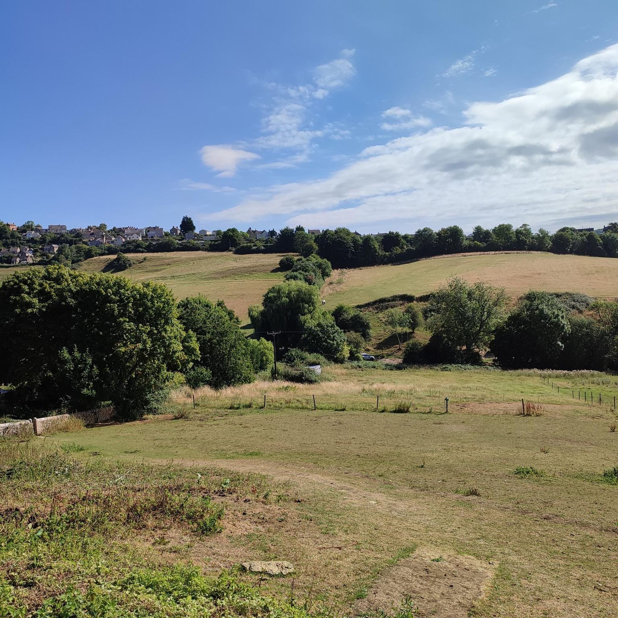
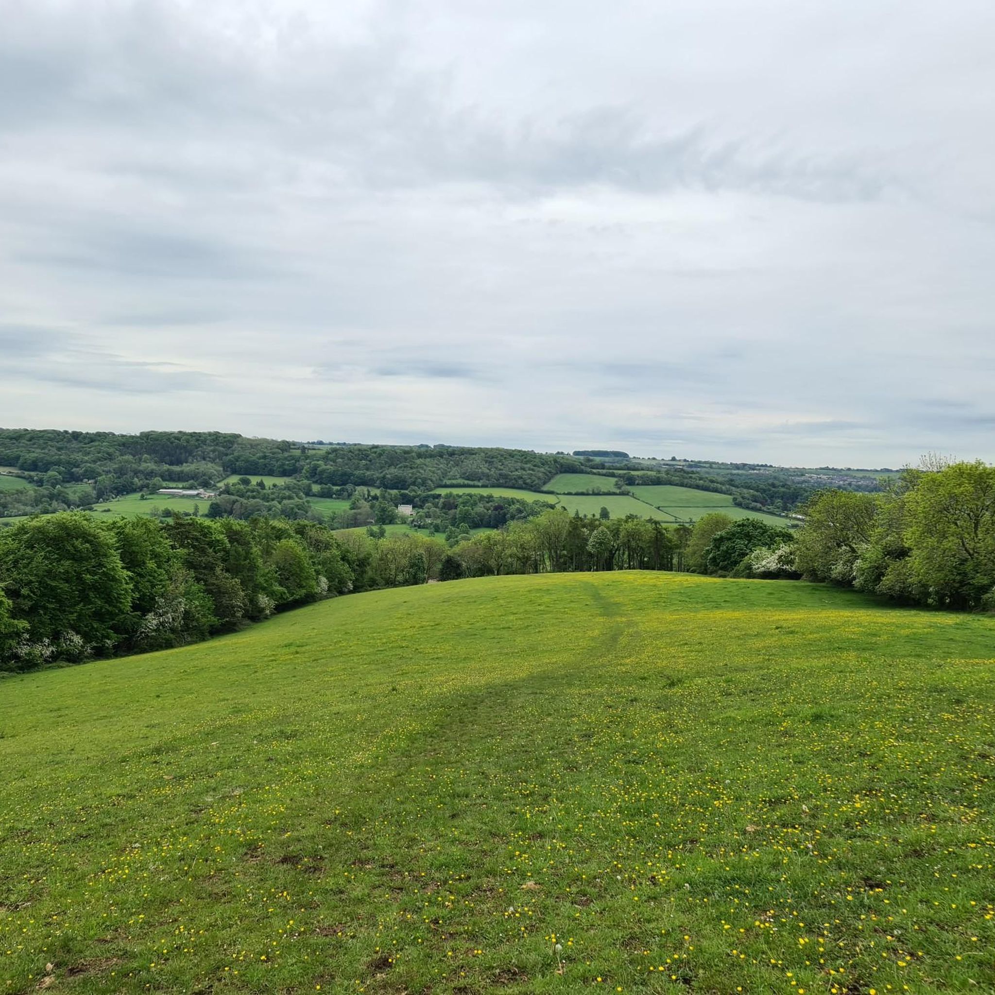
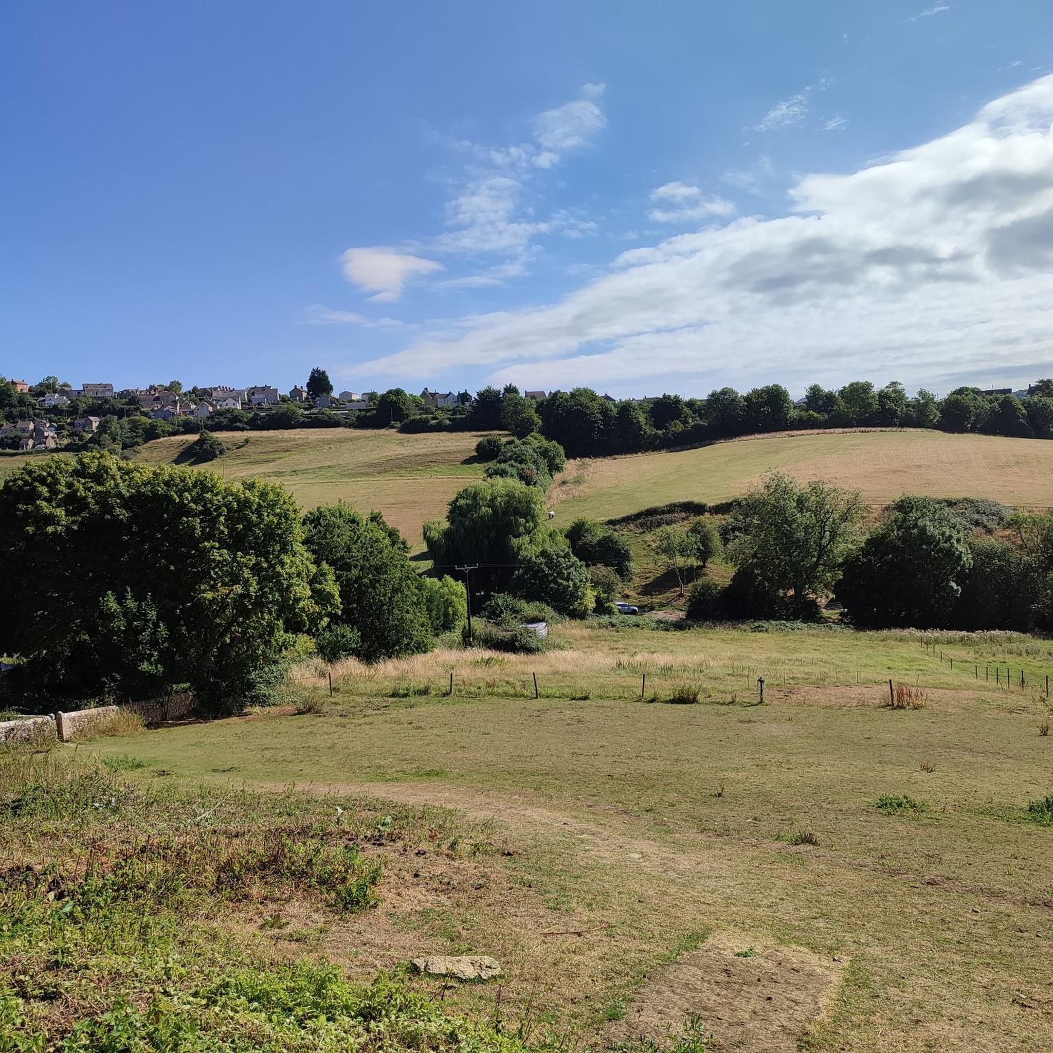
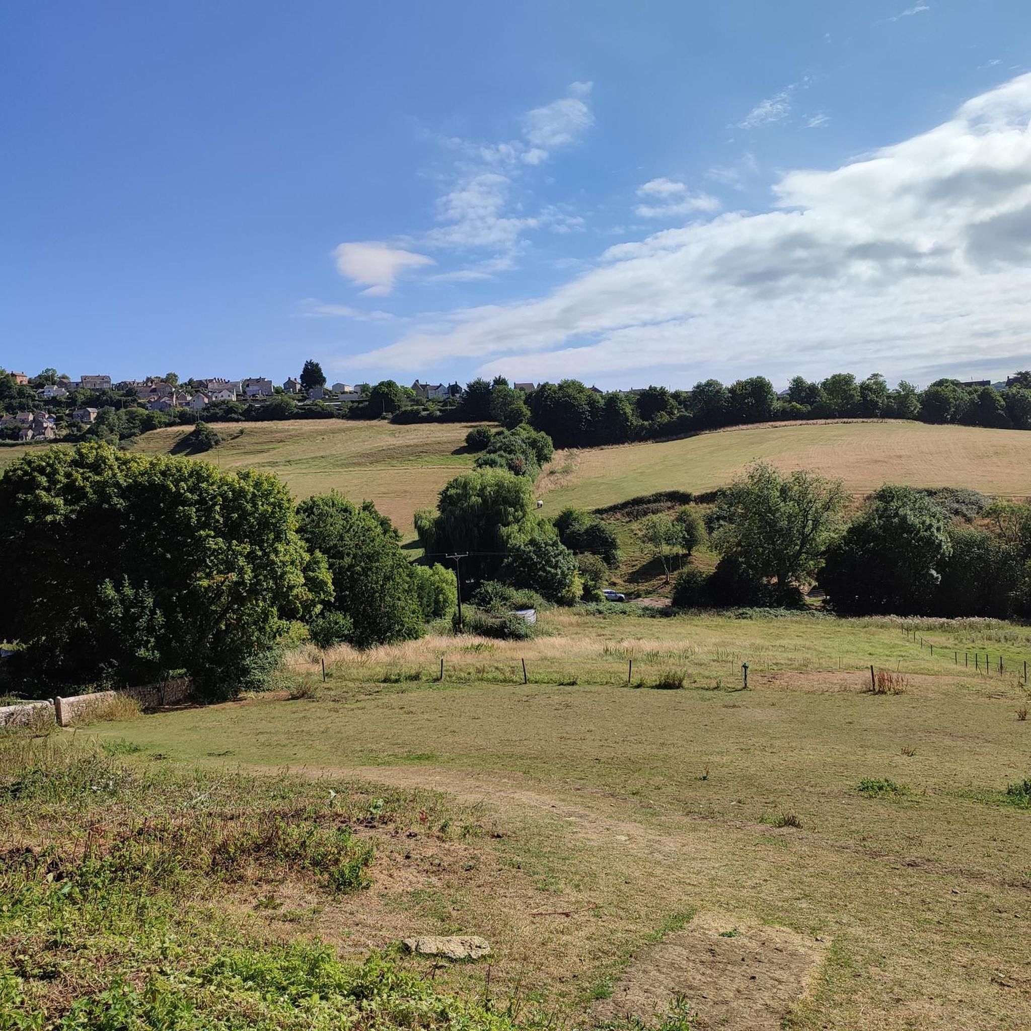
Jogging around Whiteshill And Ruscombe offers diverse terrain within the rolling Cotswold hills of Gloucestershire. The region features a mix of woodland, open fields, and valleys, with the Ruscombe Brook winding through the landscape. Significant elevation changes, including a height difference of over 500 feet (152m), provide varied running experiences from challenging uphill climbs to fast downhill sections. The area is set against the limestone Cotswold escarpment, offering scenic views.
Best jogging routes around Whiteshill And Ruscombe
- The most popular…
Last updated: May 25, 2026
3.6
(5)
18
runners
11.3km
01:23
280m
280m
Jog the moderate 7.0-mile Cotswold Way: Haresfield Beacon Circular, offering panoramic views and ancient woodlands in the Cotswolds National
148
runners
11.6km
01:25
260m
260m
Moderate run. Good fitness required. Mostly paved surfaces. Suitable for all skill levels.

Sign up for free
95
runners
8.79km
01:01
170m
170m
Moderate run. Good fitness required. Mostly paved surfaces. Suitable for all skill levels.
4.5
(2)
51
runners
7.20km
00:52
120m
120m
Moderate run. Good fitness required. Mostly paved surfaces. Suitable for all skill levels.
46
runners
12.6km
01:34
290m
290m
Moderate run. Good fitness required. Mostly paved surfaces. Suitable for all skill levels.
Get access to more routes and recommendations from other explorers.
Sign up for free
Already have an account?
Our route recommendations are based on thousands of hikes, rides, and runs completed by other people on komoot.
Start today with a free account
Your next adventure awaits.
Login or Signup

Tips from the Community


A typical Cotswold mixed beech wood on the hill below Haresfield Beacon. The trails are brilliant fun to run, fast downhill and tough uphill. The Cotswold Way long distance trail goes through the woodland.
0
0

Fascinating archaeology, geology and nature combine at Haresfield Beacon. This spectacular viewpoint, which was once a strategically positioned hillfort on the Cotswold limestone escarpment, affords views across the England/Wales border and into the Brecon Beacons. All around is a mixed landscape of woodland and chalk grassland, home to a wide variety of flora and fauna.
0
0

If you can catch him (usually on a weekend) the off road coffee man is super friendly and knows his roast (and hot chocolate)!
0
0

This view, from the Cotswold escarpment above Haresfield Beacon, reaches right across the Severn estuary to Wales. Well worth the climb!
0
0


Serving great coffee and pastries usually open Friday, Saturday, Sunday
0
0
Frequently Asked Questions
How many running routes are available in Whiteshill And Ruscombe?
There are over 500 running routes recorded in Whiteshill And Ruscombe on komoot, offering a wide variety of options for all fitness levels. The komoot community has explored these trails over 8,000 times.
What kind of terrain can I expect on the jogging trails in Whiteshill And Ruscombe?
The region offers a diverse and undulating terrain, characterized by a mix of extensive woodlands, open fields, and valleys. You'll encounter significant elevation changes, with a height difference of over 500 feet (152m) between the lowest and highest points, providing both challenging uphill climbs and fast downhill sections, especially in the woodlands below Haresfield Beacon.
Are there any easy or beginner-friendly running routes in the area?
Yes, Whiteshill And Ruscombe offers a good selection of easier routes. Out of over 500 trails, 61 are classified as easy, making them suitable for beginners or those looking for a less strenuous run. These often follow ancient pathways through fields and woodland.
Can I find circular running routes in Whiteshill And Ruscombe?
Absolutely. Many routes in the area are circular, allowing you to start and end at the same point. A notable example is the Whiteshill & Ruscombe Circular Walk (also known as the Diamond Jubilee Walk), which is approximately 4.5 miles (7.2km) and highlights the beautiful countryside. For more details, you can refer to the official leaflet.
What scenic views or natural attractions can I see while running here?
The trails offer stunning views across the Cotswold escarpment and valleys. You can enjoy panoramic vistas from Haresfield Beacon, extending across the Severn estuary and towards the Brecon Beacons. The Ruscombe Brook also winds through the landscape, providing pleasant riverside paths. Other highlights include Painswick Beacon and the tranquil Middle Pond at Woodchester Park.
Are the running routes in Whiteshill And Ruscombe dog-friendly?
Many of the public rights of way in Whiteshill And Ruscombe are dog-friendly, allowing you to enjoy a run with your canine companion. It's always recommended to keep dogs under control, especially when passing through fields with livestock, and to follow local guidelines. For more information on local policies, you can check the Parish Council's biodiversity page.
Are there any long-distance running options or challenging trails?
Yes, for those seeking longer or more challenging runs, the renowned Cotswold Way passes close by, offering extensive opportunities. The area around Haresfield Beacon is known for trails with significant elevation, providing 'fast downhill and tough uphill' sections. For example, the Standish Wood – Haresfield Beacon loop from Cainscross is a difficult 17.5 km (10.9 miles) route.
What do other runners say about the trails in Whiteshill And Ruscombe?
The running routes in Whiteshill And Ruscombe are highly rated by the komoot community, with an average score of 4.6 stars from over 80 reviews. Runners often praise the varied terrain, the stunning Cotswold views, and the well-maintained ancient pathways that make for an immersive outdoor experience.
Are there any running routes that pass by pubs or cafes?
While specific routes passing directly by pubs or cafes aren't highlighted in the data, the Whiteshill & Ruscombe Circular Walk (Diamond Jubilee Walk) starts and ends at the Village Shop & Coffee Bar, providing a convenient spot for refreshments. The area generally has local establishments where you can refuel after your run.
Is there parking available near the running routes?
Yes, parking is generally available at common starting points for many routes, such as near Haresfield Beacon or in the villages themselves. It's advisable to check specific route details on komoot for recommended parking locations before you head out.
What is the best time of year to go jogging in Whiteshill And Ruscombe?
The diverse landscape of Whiteshill And Ruscombe makes it suitable for jogging year-round. In summer, the extensive woodlands provide welcome shade, while open grasslands offer invigorating runs. The varied terrain means conditions can change with the seasons, so checking local weather and trail conditions is always a good idea.
Can I reach the running trails using public transport?
While Whiteshill And Ruscombe is nestled in the Cotswolds, some routes may be accessible via public transport connections to nearby towns like Stroud. For example, the Stroud Brewery Bike Shelter – Lock Kitchen Café loop from Stroud starts from Stroud, which has public transport links. It's best to research specific bus routes or train connections to the closest villages for direct access to trailheads.
Most popular routes around Whiteshill And Ruscombe
Most popular attractions around Whiteshill And Ruscombe

Get inspired with the komoot mobile app


Explore more
Browse the best Running Trails & Routes in other regions.
